TagPuget Sound(124)
-
 2001-06-22
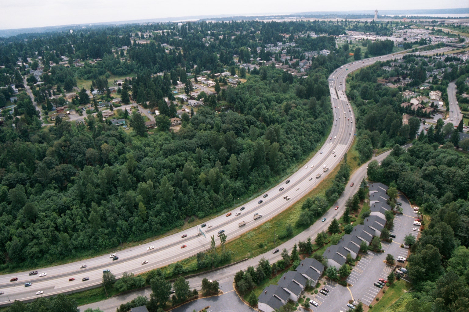
Aerial View of Multi-Lane Freeway Through Forested Suburban Landscape Near Puget Sound
Aerial photograph showing a wide multi-lane freeway curving through a heavily forested suburban landscape, with residential developments and commercial properties visible alongside the roadway. A large body of water is faintly visible in the background, consistent with the Puget Sound region near Sea-Tac Airport. -
 2001-06-22
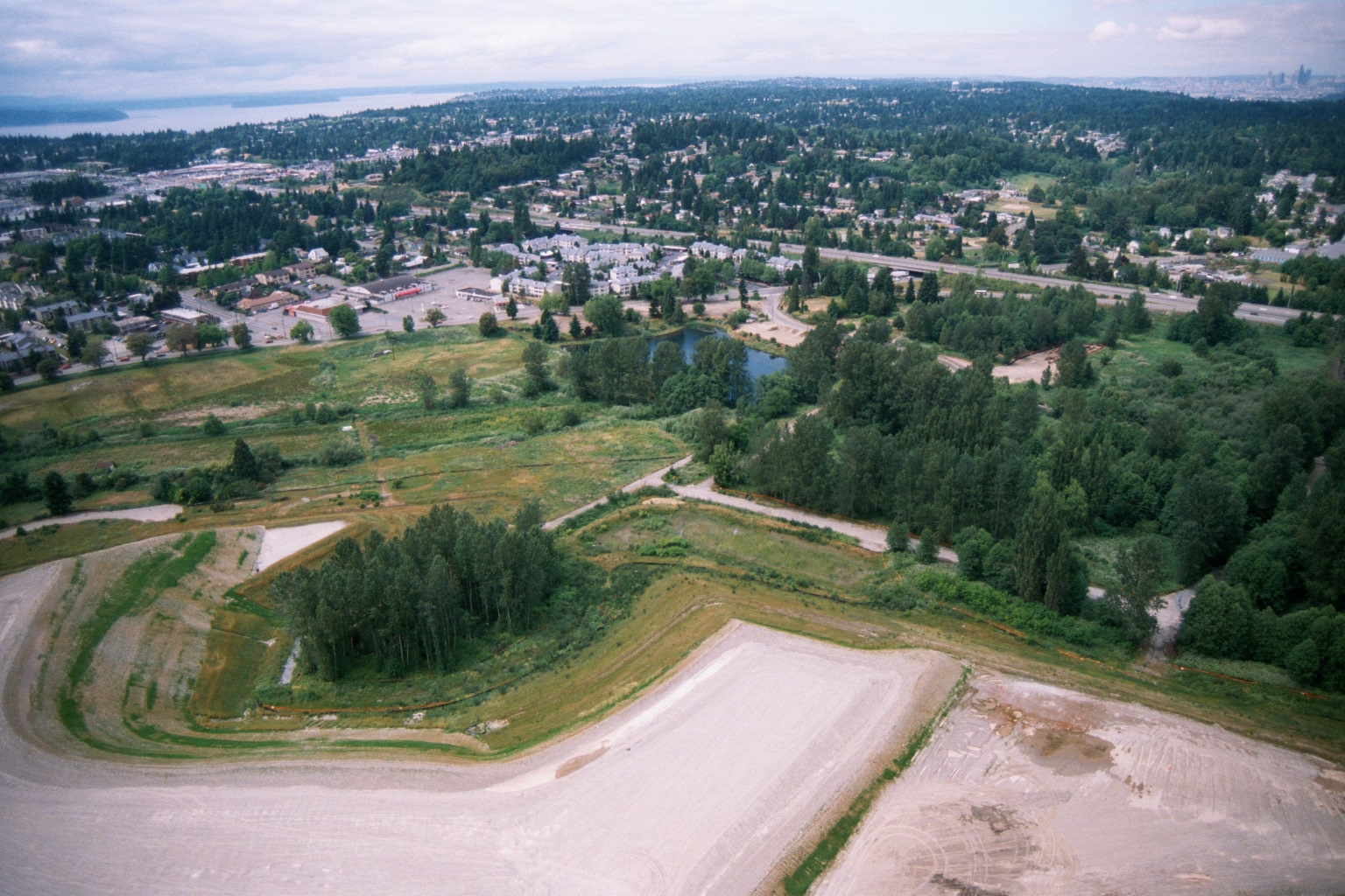
Aerial View of Cleared Parcel Near Suburban Area with Puget Sound in Background
Aerial photograph showing a large cleared/graded parcel in the foreground with gravel or compacted earth surfaces, adjacent to vegetated open space with a small pond or retention basin. A suburban residential and commercial area is visible in the background, with what appears to be a large body of water (likely Puget Sound) on the horizon, consistent with the greater Seattle/Sea-Tac region. -
 2001-06-22
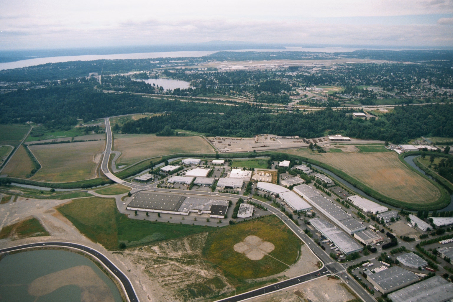
Aerial View of Industrial Development Near Sea-Tac Airport and Puget Sound
Aerial photograph showing a developing industrial or business park complex with warehouse-style buildings, surrounded by open fields and wetland buffers. In the background, a large airport facility consistent with Seattle-Tacoma International Airport is visible, along with Puget Sound and surrounding suburban development. -
 2001-06-22
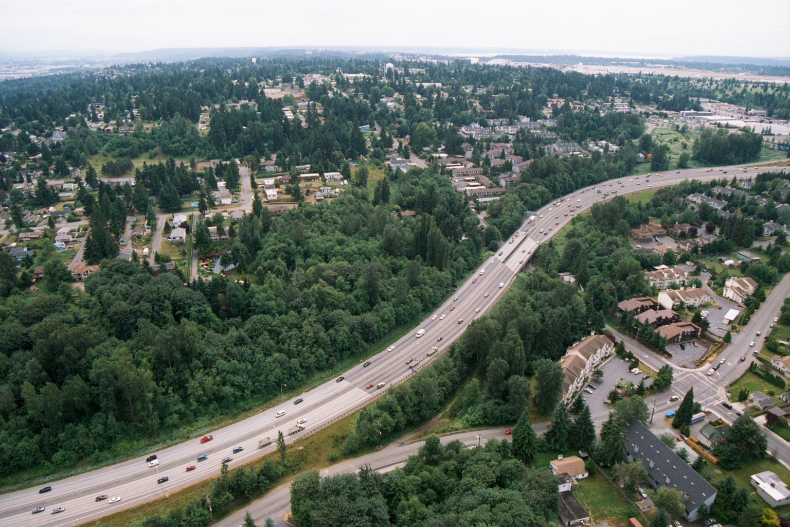
Aerial View of Interstate Highway Through Pacific Northwest Suburban Landscape Near Sea-Tac Corridor
An aerial photograph showing a wide multi-lane highway (likely an Interstate) cutting through a densely forested suburban landscape with residential and commercial development visible on either side. The overcast sky, evergreen tree cover, and architectural style are consistent with the Pacific Northwest region, potentially near the Sea-Tac corridor in Washington State. -
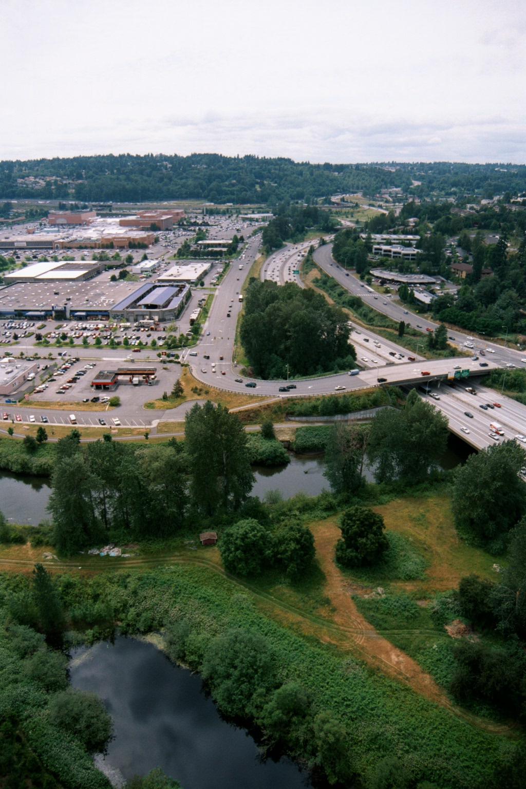 2001-06-22
Aerial View of Suburban Freeway Corridor with Retail Complex and Wetlands, Puget Sound Lowlands
Aerial photograph showing a multi-lane freeway (likely I-405 or similar Pacific Northwest interstate) passing through a suburban area with a large retail/mall complex and surface parking lots visible to the left. Wetlands and small ponds are visible in the foreground, consistent with the Puget Sound lowland region of Washington State. -
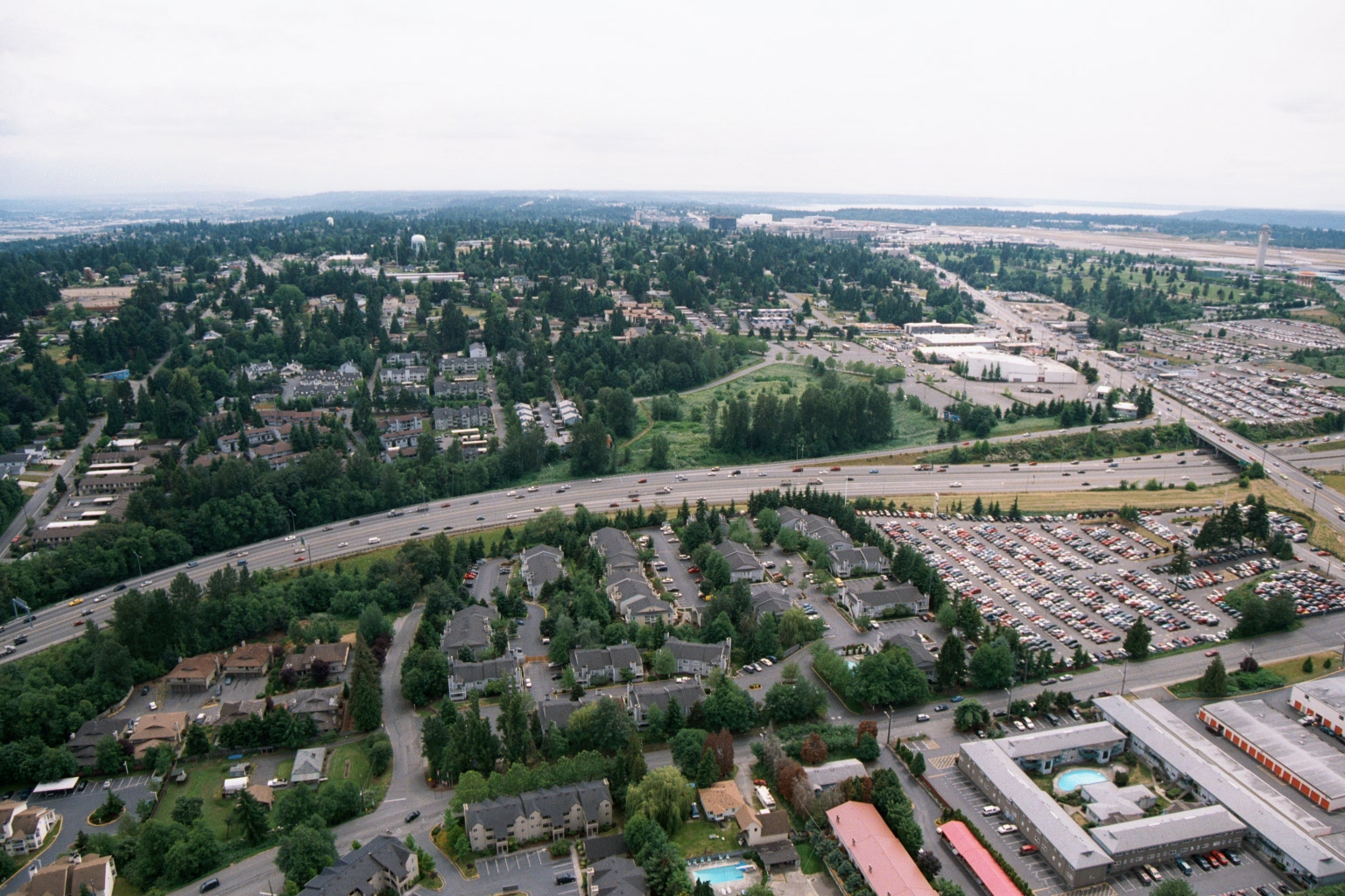 2001-06-22
Aerial View of Highway and Suburban Landscape Near Sea-Tac Airport
Aerial photograph showing a multi-lane highway (likely I-5 or SR-99) curving through a suburban landscape of apartment complexes, single-family homes, and large surface parking lots. An airport runway area and Puget Sound are visible in the background, consistent with the Sea-Tac Airport vicinity in the SeaTac/Des Moines, Washington area. -
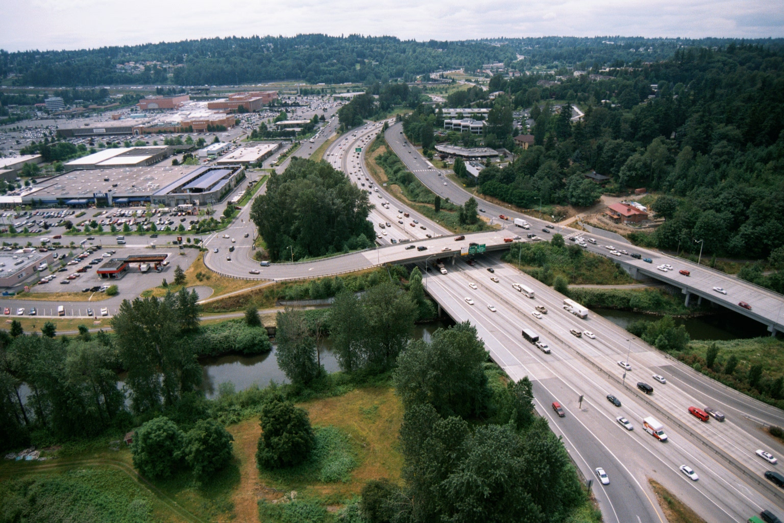 2001-06-22
Aerial View of Interstate Highway, Shopping Mall, and Conifer Forest in the Greater Seattle Region
Aerial photograph showing a major interstate highway (appearing to be I-405 or similar Pacific Northwest freeway based on landscape and infrastructure style) crossing a small river or creek, with a large shopping mall and surface parking lots visible to the left. The surrounding terrain features dense conifer forests consistent with the greater Seattle/Puget Sound region. -
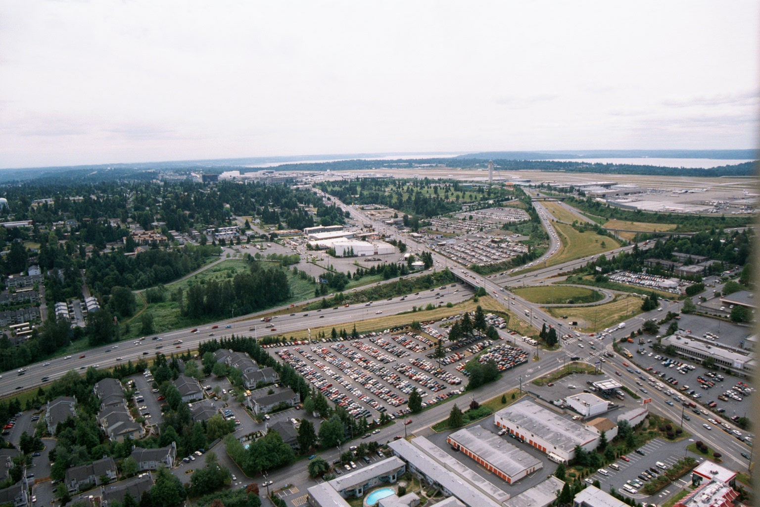 2001-06-22
Aerial View of Sea-Tac Airport, Highway 99 Corridor, and Surrounding Development
Aerial photograph looking northwest showing Seattle-Tacoma International Airport (Sea-Tac) in the background with its runways and terminal area visible, along with Puget Sound on the horizon. The foreground shows the Interstate 99/Highway 99 corridor, large surface parking lots, residential apartment complexes, and commercial development in the cities of SeaTac or Des Moines, Washington. -
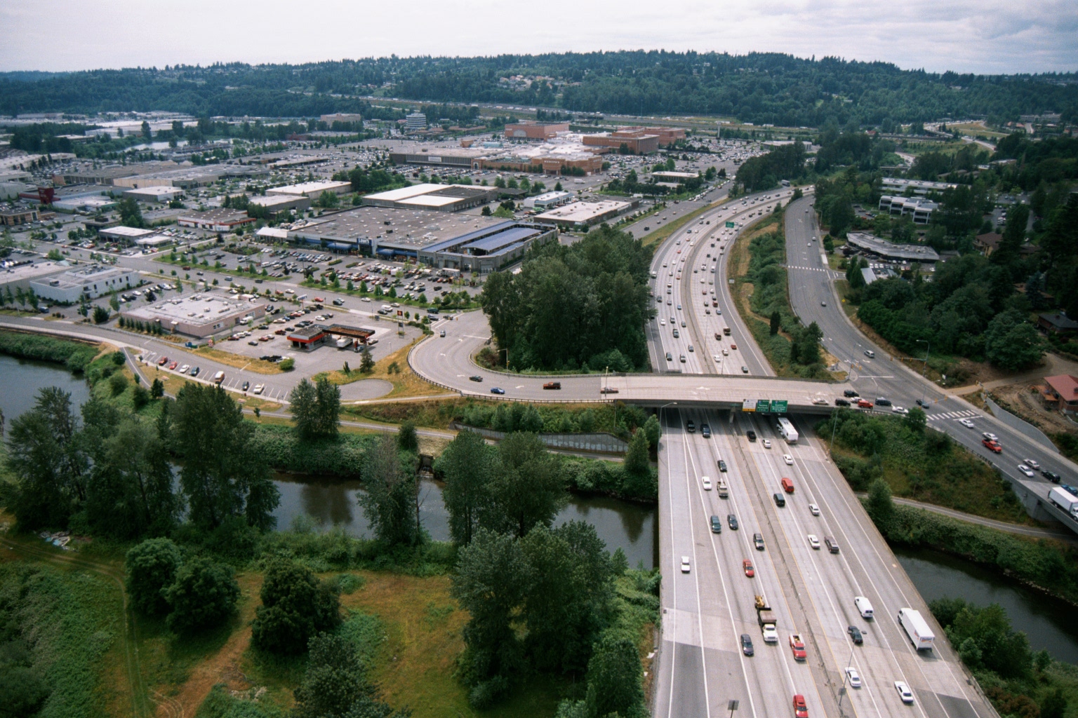 2001-06-22
Aerial View of Interstate Highway Crossing River With Suburban Retail Center, Pacific Northwest
Aerial photograph showing a wide multi-lane interstate highway (visible green overhead directional signs) crossing over a river or waterway, with a large suburban retail shopping center and surface parking lots visible to the left. The setting appears to be the Pacific Northwest based on the dense conifer-covered hillsides and overall landscape character. -
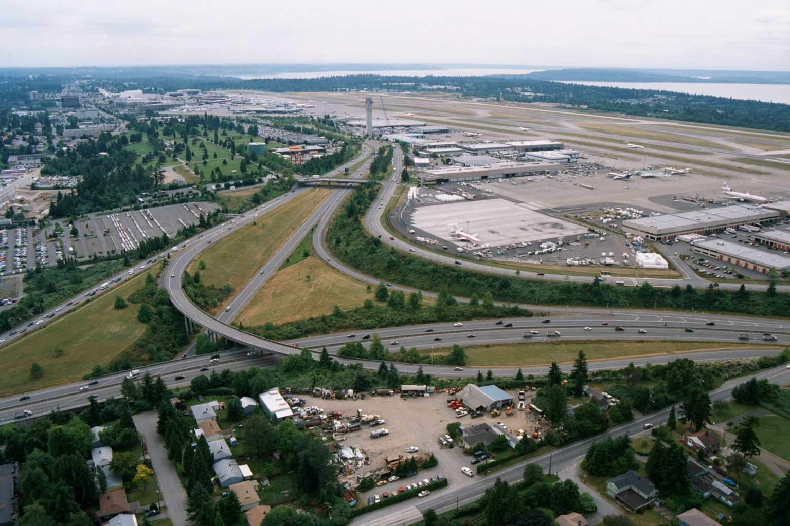 2001-06-22
Aerial View of Sea-Tac Airport, Terminal Complex, and I-5 Interchange
Aerial photograph looking north toward Seattle-Tacoma International Airport (Sea-Tac), showing the terminal complex, control tower, aircraft aprons, and runways adjacent to Puget Sound in the background. The foreground shows a major freeway interchange (likely Interstate 5 and SR 518/Sea-Tac access roads) with surrounding commercial and residential development, consistent with imagery from the 1970s–1980s based on aircraft liveries and infrastructure visible on the ramp.