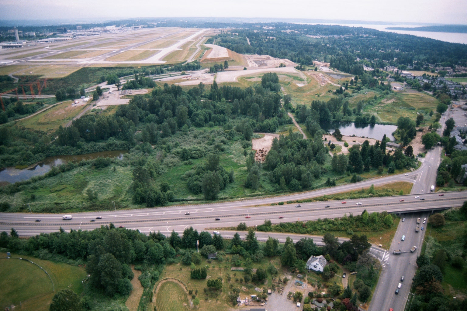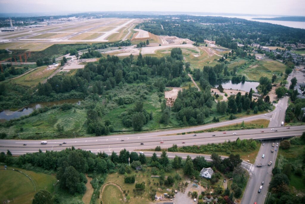
Aerial photograph looking north toward Seattle-Tacoma International Airport (Sea-Tac), showing the airport's runway complex in the upper left and what appears to be active grading and construction work consistent with the third runway project (completed 2008). A multi-lane highway (Interstate 5) runs diagonally across the middle of the frame, with residential areas and Puget Sound visible in the distance to the right.Open full document
Notes
Aerial photograph looking north toward Seattle-Tacoma International Airport (Sea-Tac), showing the airport’s runway complex in the upper left and what appears to be active grading and construction work consistent with the third runway project (completed 2008). A multi-lane highway (Interstate 5) runs diagonally across the middle of the frame, with residential areas and Puget Sound visible in the distance to the right.