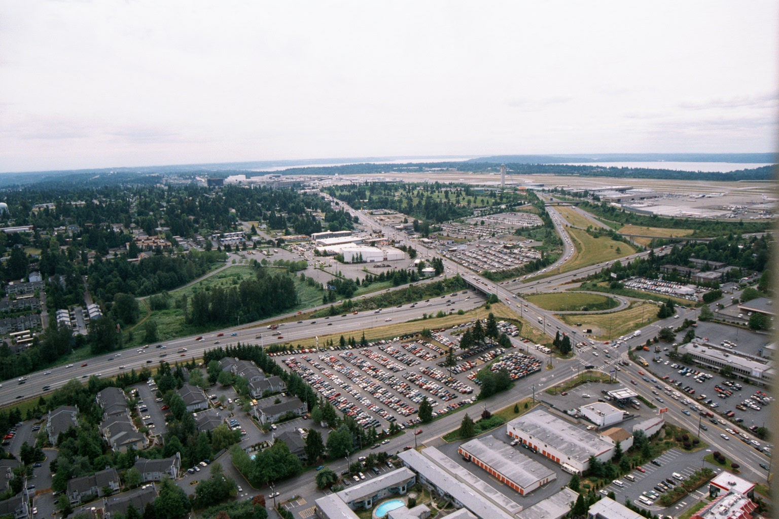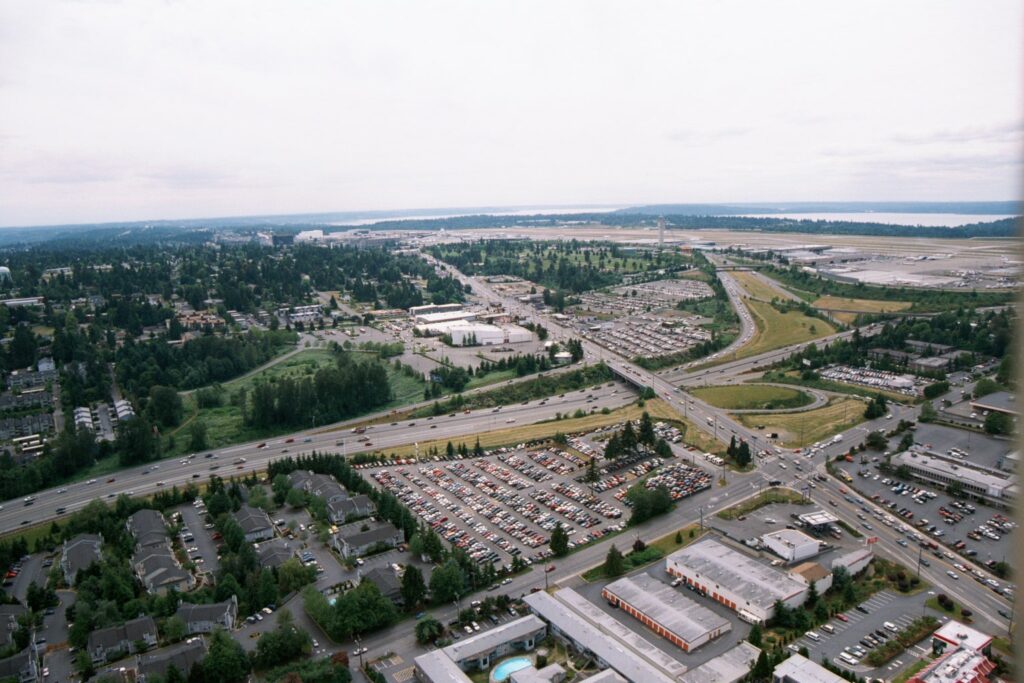
Aerial photograph looking northwest showing Seattle-Tacoma International Airport (Sea-Tac) in the background with its runways and terminal area visible, along with Puget Sound on the horizon. The foreground shows the Interstate 99/Highway 99 corridor, large surface parking lots, residential apartment complexes, and commercial development in the cities of SeaTac or Des Moines, Washington.Open full document
Notes
Aerial photograph looking northwest showing Seattle-Tacoma International Airport (Sea-Tac) in the background with its runways and terminal area visible, along with Puget Sound on the horizon. The foreground shows the Interstate 99/Highway 99 corridor, large surface parking lots, residential apartment complexes, and commercial development in the cities of SeaTac or Des Moines, Washington.