TagMiller Creek(252)
-
 2003-09-01
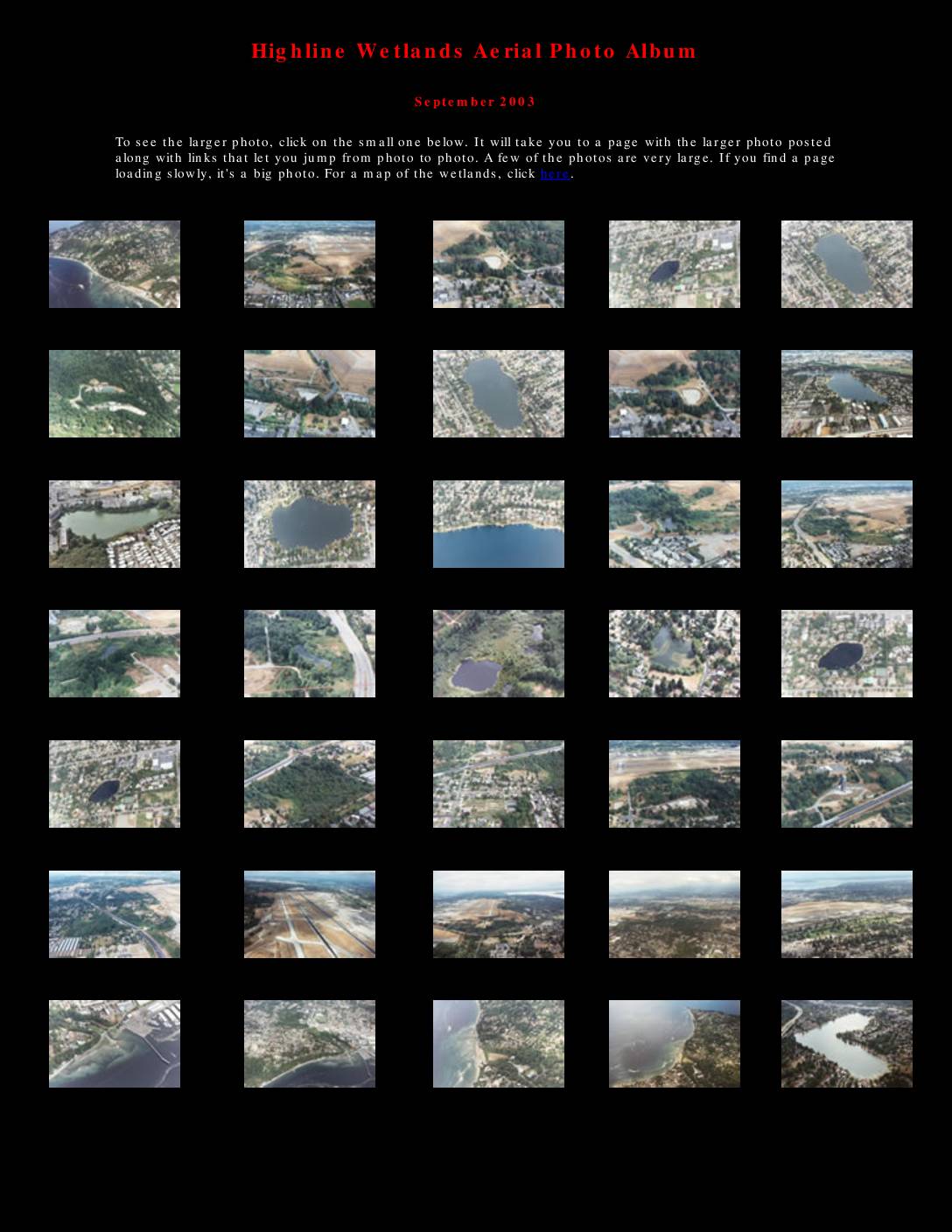
Highline Wetlands aerial photo album
The Highline Wetlands Aerial Photo Album, compiled in September 2003, presents a collection of aerial photographs documenting wetlands, lakes, and waterways in the Sea-Tac Airport area of Washington State. The album covers locations including Miller Creek, Walker Creek, Lake Burien, Angle Lake, and other water resources affected by the proposed Third Runway construction at Seattle-Tacoma International Airport. An accompanying map illustrates the runway's projected impact on local water resources, identifying proposed fill areas and the third runway site relative to surrounding communities such as Burien, Normandy Park, and Des Moines. -
 2003-02-15
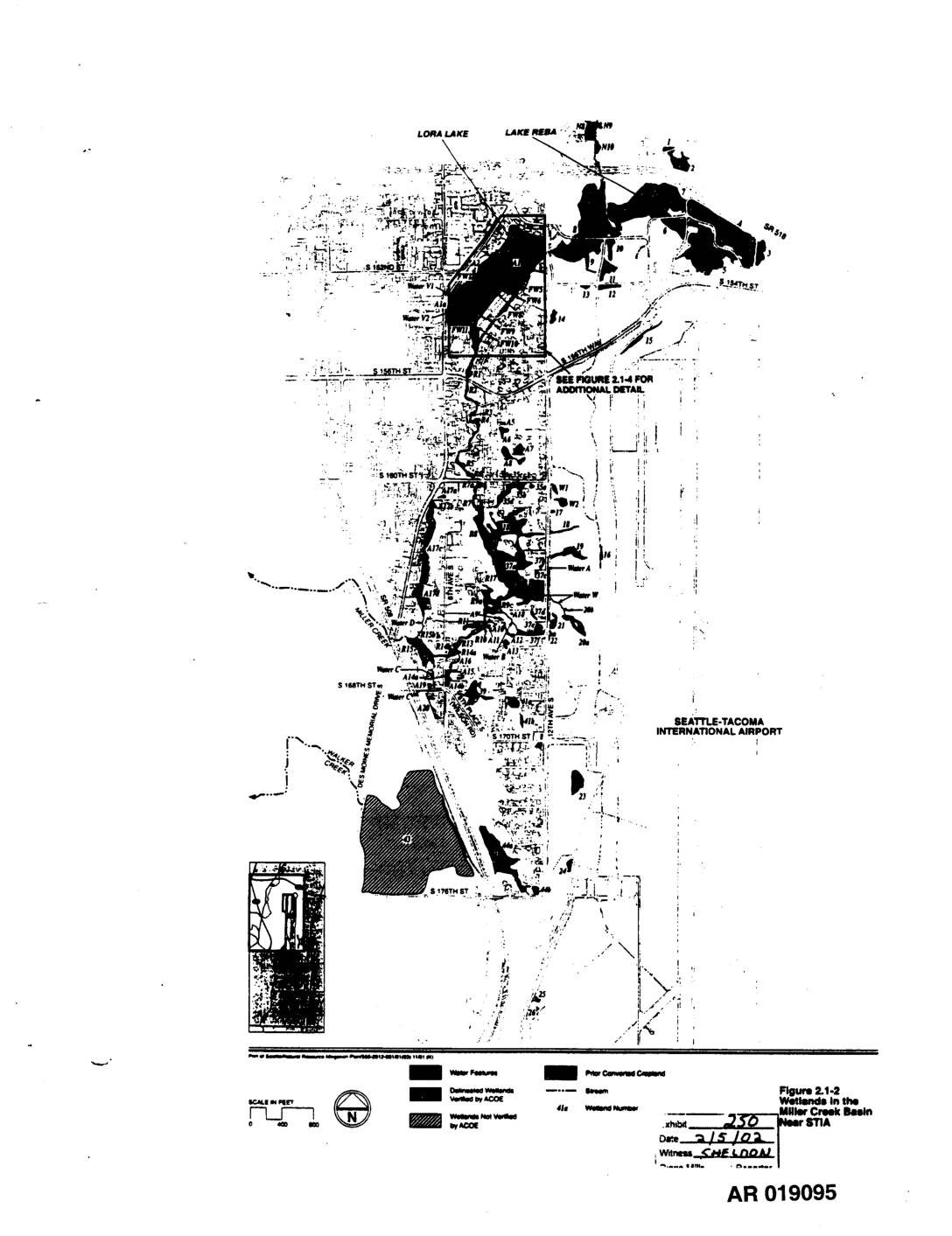
EXH 250: Figure 2.1-2 — Wetlands Miller Creek Basin Near STIA
This figure (2.1-2) is a map showing the locations of wetlands in the Miller Creek Basin near Seattle-Tacoma International Airport. It identifies water features, delineated wetlands verified by the Army Corps of Engineers (ACOE), unverified wetlands, streams, prior converted cropland, and individual wetland numbers across the basin area bounded roughly by S 154th Street to the north and S 176th Street to the south. The map was entered as Exhibit 250 and witnessed by Sheldon on 2/15/02. -
 2002-12-13
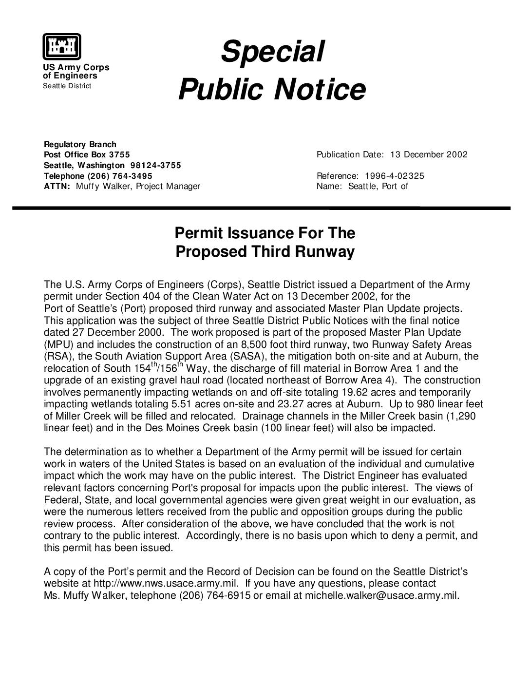
Permit issuance for the proposed third runway
On December 13, 2002, the U.S. Army Corps of Engineers issued a federal permit allowing the Port of Seattle to build a third runway at Sea-Tac Airport as part of its Master Plan Update. The project includes an 8,500-foot runway, two Runway Safety Areas, and related construction that will permanently impact nearly 20 acres of wetlands and up to 980 linear feet of Miller Creek. After weighing input from government agencies and the public, the Corps determined the project was not contrary to the public interest and approved the permit. -
 2002-10-25
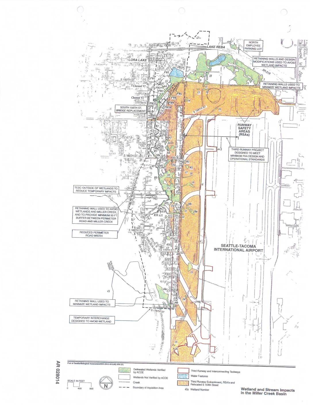
EXH AR028014: Wetland and Stream Impacts in the Miller Creek Basin — Sea-Tac Airport Third Runway Project Map
AR028014. Port of Seattle biological assessment map depicting wetland and stream impacts in the Miller Creek Basin related to the Seattle-Tacoma International Airport Third Runway project. Shows delineated wetlands verified by Army Corps of Engineers (ACOE), wetlands not verified by ACOE, creeks, boundary of acquisition area, third runway and interconnecting taxiways, third runway embankment and -
 2002-10-23
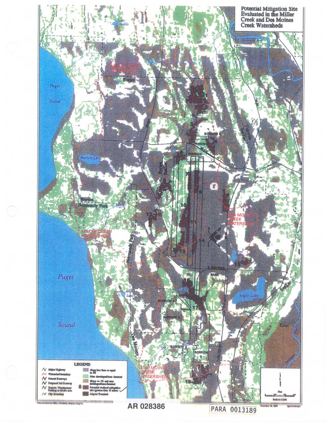
EXH AR028386: Potential Mitigation Sites Evaluated in the Miller Creek and Des Moines Creek Watersheds
Map (AR 028386, PARA 0013189) showing potential mitigation sites evaluated in the Miller Creek and Des Moines Creek watersheds near Sea-Tac Airport. Displays numbered mitigation sites greater than 10 acres, airport runways (present and proposed 3rd runway), borrow/warehouse/parking/SABA areas, watershed boundaries, Puget Sound shoreline, Burien, Normandy Park, SeaTac, Angle Lake, Bow Lake, Burien Lake, Lake -
 2002-10-23
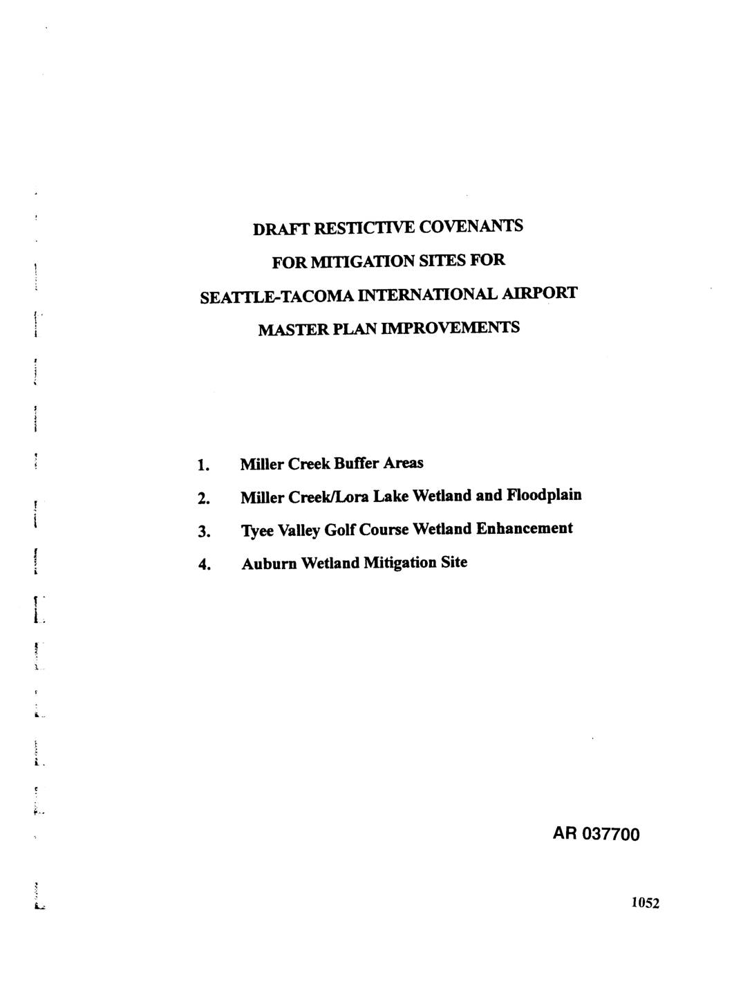
EXH AR037700: Draft Restrictive Covenants for Mitigation Sites for Seattle-Tacoma International Airport Master Plan Improvements
Draft Declaration of Restrictive Covenants by Port Of Seattle for four mitigation sites associated with Seattle-Tacoma International Airport Master Plan Improvements, including third runway construction. Covers Miller Creek Buffer Areas, Miller Creek/Lora Lake Wetland and Floodplain, Tyee Valley Golf Course Wetland Enhancement, and Auburn Wetland Mitigation Site (approximately 69 acres in City of Auburn). Executed -
 2002-10-22
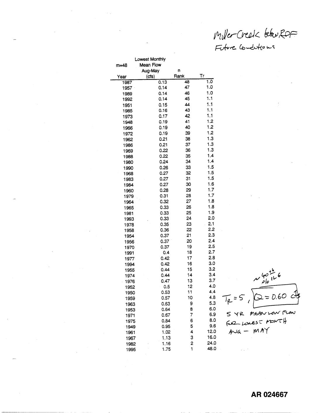
EXH AR024667: Miller Creek Below ROF — Future Low Flow Frequency & Storm Event Daily Flows
This document contains hydrological flow data for Miller Creek, including a ranked frequency analysis of the lowest monthly mean streamflows recorded between August and May from 1948 to 1995, alongside modeled daily and hourly stream flow outputs from 2-year/72-hour and 2-year/2-hour storm events simulated in August 1996. The analysis identifies a 5-year mean low flow of approximately 0.60 cubic feet per second for the lowest month in the August–May period. Acute and chronic water quality standards are also evaluated in relation to effluent and receiving water flows during the storm event. -
 2002-10-22
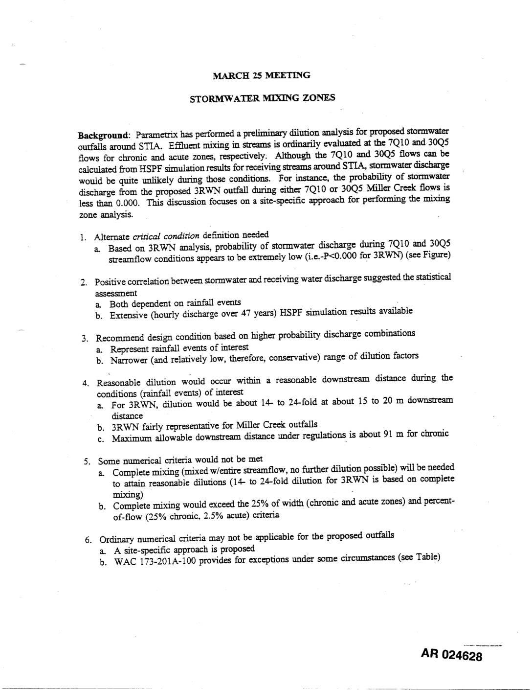
EXH AR024628: Stormwater Mixing Zones Mar 25 Meeting Discussion Doc STIA Third Runway EIS
This technical document from a March 25 meeting discusses stormwater mixing zone analysis for proposed outfalls around Seattle-Tacoma International Airport (STIA). Because standard stream flow conditions (7Q10 and 30Q5) are extremely unlikely to coincide with stormwater discharge events, Parametrix proposed a site-specific approach using higher-probability rainfall-based discharge combinations instead. The analysis found that reasonable dilution of 14- to 24-fold could occur within about 15 to 20 meters downstream, though complete mixing requirements would exceed standard regulatory width and flow percentage criteria, prompting a request for exceptions under WAC 173-201A-100. -
 2002-10-22
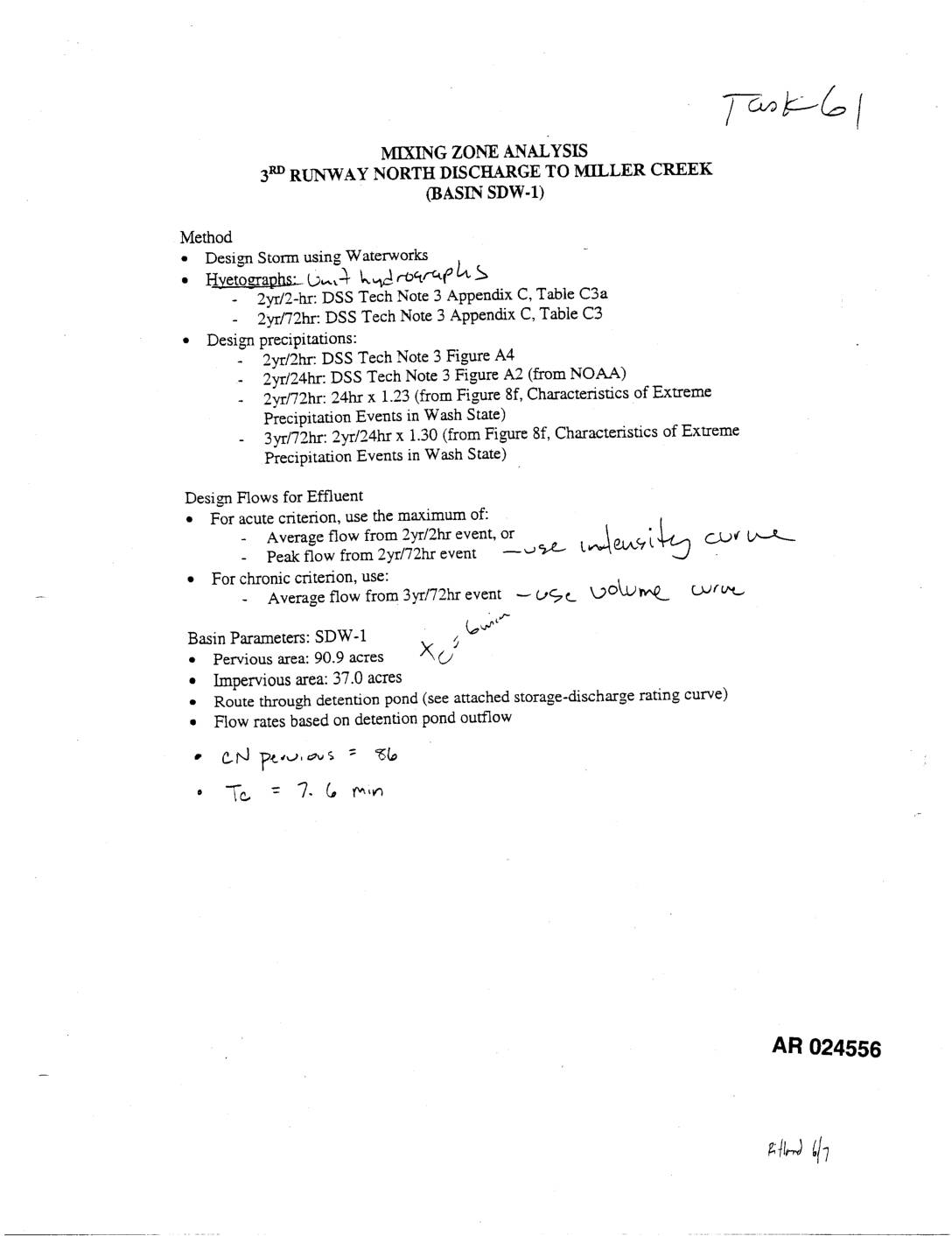
EXH AR024556: Mixing Zone Analysis — 3rd Runway North Discharge Miller Creek (Basin SDW-1)
This technical document describes a mixing zone analysis for stormwater discharge from the 3rd Runway North at Sea-Tac Airport into Miller Creek, designated as Basin SDW-1. The analysis uses design storm modeling with various rainfall scenarios (2-year/2-hour, 2-year/72-hour, and 3-year/72-hour events) to calculate effluent flow rates for both acute and chronic water quality criteria. Stormwater from the basin's approximately 128 acres of pervious and impervious area is routed through a detention pond before discharge, with outflow rates determined by a storage-discharge rating curve. -
 2002-10-22
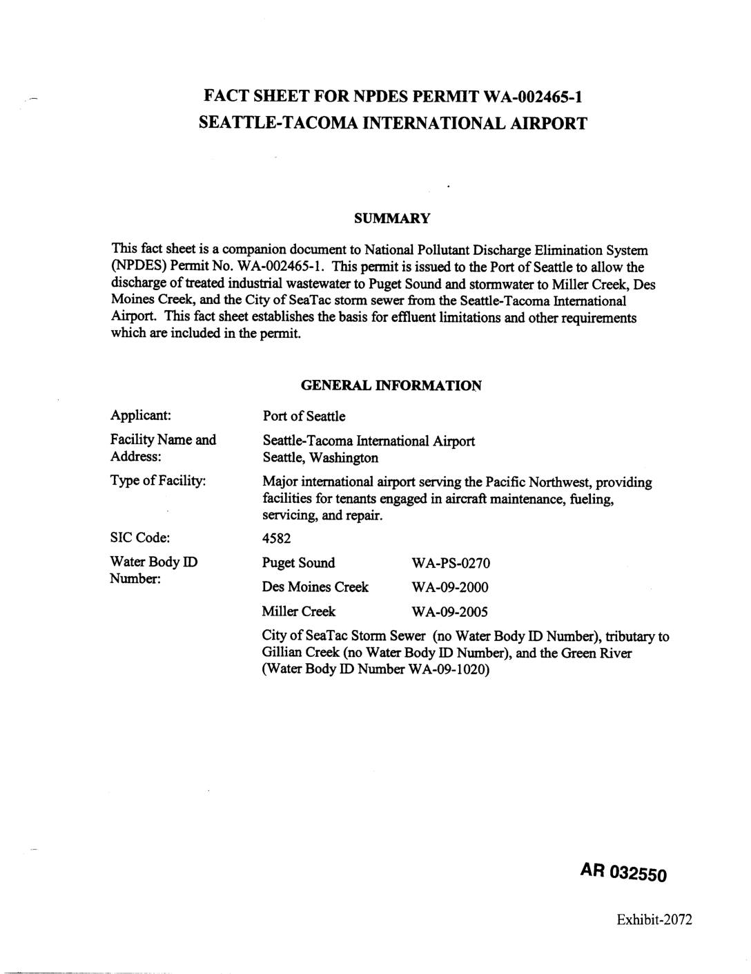
EXH 2072: Fact Sheet NPDES Permit WA-002465-1 STIA
This document is a fact sheet accompanying an NPDES (National Pollutant Discharge Elimination System) permit issued to the Port of Seattle for Seattle-Tacoma International Airport, governing how the airport manages and discharges treated industrial wastewater and stormwater. It covers discharge locations into Puget Sound, Des Moines Creek, Miller Creek, and the City of SeaTac storm sewer system, and establishes effluent limitations and monitoring requirements. The permit addresses water quality standards, pollution prevention plans, and compliance schedules to protect surrounding waterways from airport-related contaminants.