Notes
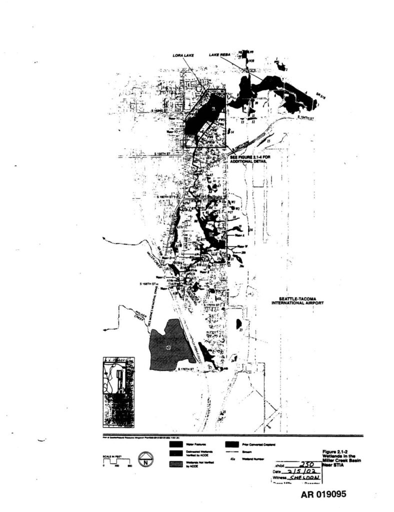
Exhibit 250, AR 019095. Figure 2.1-2 from the Third Runway EIS administrative record, depicting wetlands in the Miller Creek Basin near Seattle-Tacoma International Airport (STIA). Map shows water features, delineated wetlands verified by ACOE, wetlands not verified by ACOE, prior converted cropland, streams, and wetland numbers. Geographic features include Lora Lake, Lake Reba, S 154th St, S 156th St, S 160th St, S 168th St, S 170th St, S 176th St, and the Seattle-Tacoma International Airport boundary. Filed in PCHB (Pollution Control Hearings Board) Third Runway EIS proceeding. Witness: Sheldon. Scale in feet, north arrow indicated.