TagLand Use(212)
-
 2023-11-09
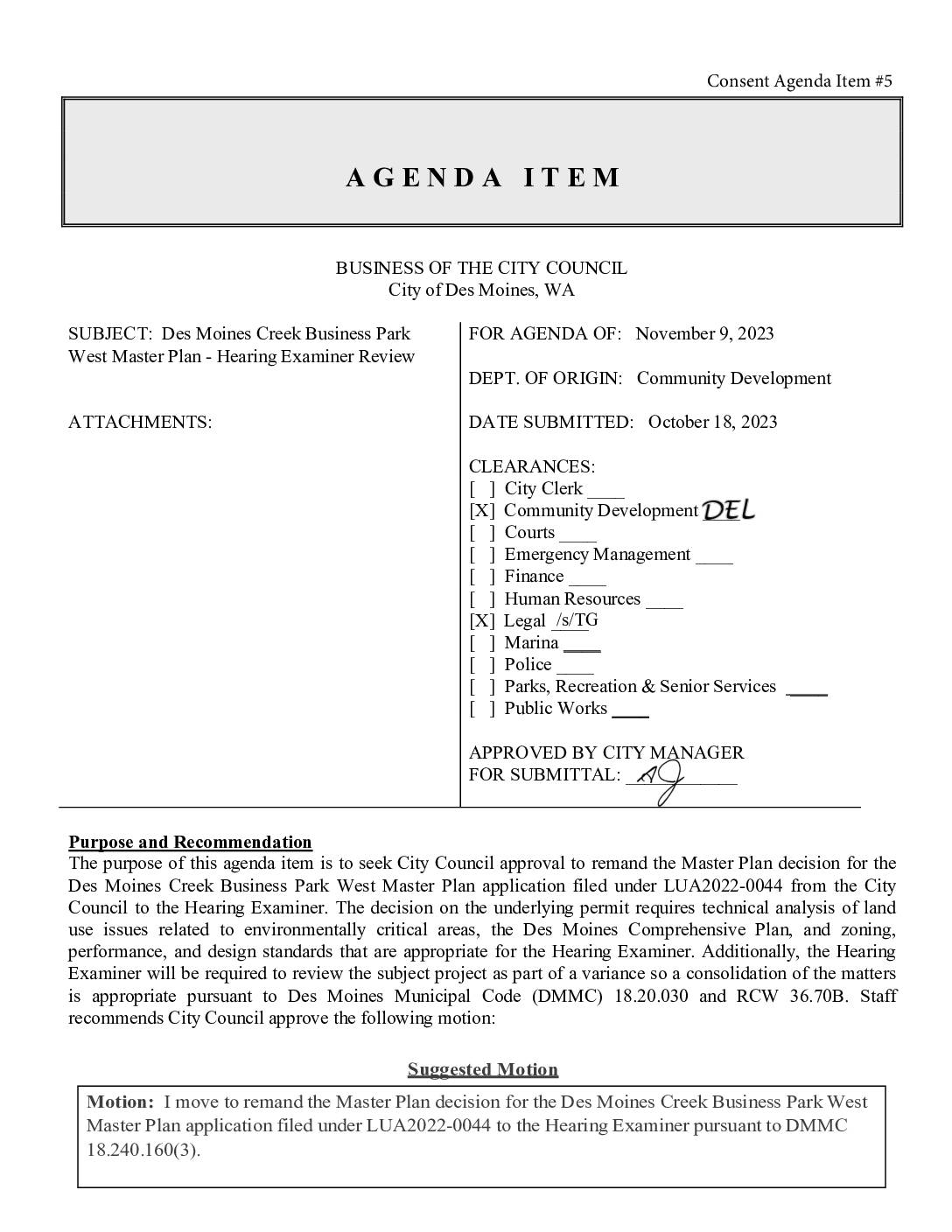
Des Moines Creek Business Park West Master Plan – Hearing Examiner Review
The Des Moines, WA City Council considered a staff recommendation to transfer review of the Des Moines Creek Business Park West Master Plan (LUA2022-0044) from the Council to the city's Hearing Examiner. The proposed 30-acre development near South 216th Street would include a 402,380-square-foot industrial building and requires complex environmental review, including a variance to fill ravine sidewalls and potentially realign a stream. Due to the technical complexity of the land use and environmental issues involved, staff and the City Attorney recommended consolidating the Master Plan review with the required variance before the Hearing Examiner. -
 2023-08-22
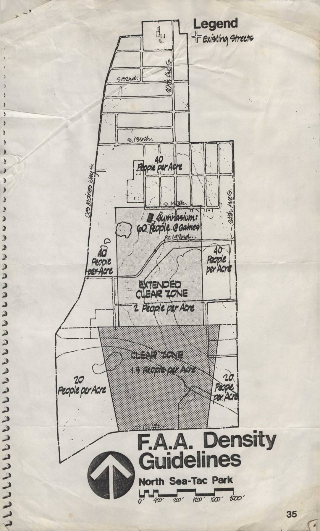
F.A.A. density guidelines: North Sea-Tac Park
This document presents FAA density guidelines for the North Sea-Tac Park area near Seattle-Tacoma International Airport, showing recommended population limits per acre across different zones. Areas closest to the runway are designated as a 'Clear Zone' allowing only 1.5 people per acre, while an 'Extended Clear Zone' permits 2 people per acre, and surrounding residential areas are limited to 20–40 people per acre. A gymnasium on the map is noted as accommodating 60 people during games, illustrating how the guidelines account for concentrated gatherings near airport flight paths. -
 2023-07-30
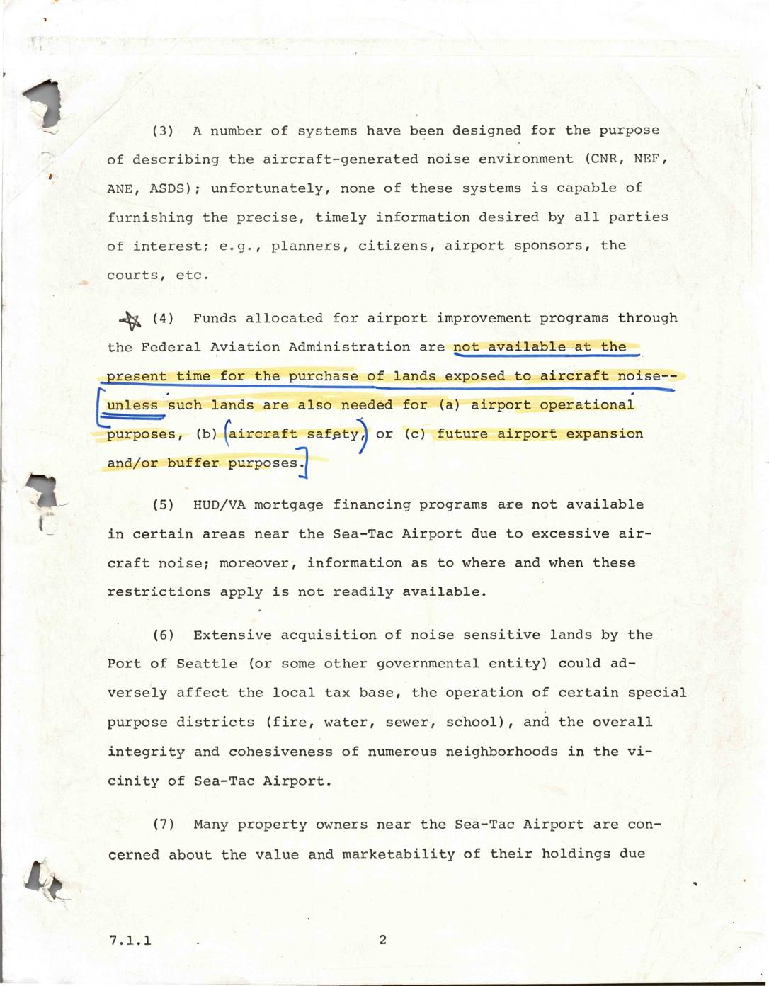
Aircraft noise environment and land use issues near Sea-Tac Airport
This document outlines several key challenges related to aircraft noise near Seattle-Tacoma (Sea-Tac) Airport. It notes that existing noise measurement systems lack the precision needed by planners, residents, and courts, while federal FAA funds cannot be used to purchase noise-affected lands unless they serve specific airport purposes. Additional concerns include restricted HUD/VA mortgage financing in high-noise areas, the potential negative impact on local tax bases if the Port of Seattle acquires large amounts of noise-sensitive land, and widespread property owner anxiety over declining home values and marketability. -
FAA Reauthorization 2023: Community Use Of Airport Land
Like many agencies of the Federal Government, the law giving life to the FAA needs to be reauthorized periodically. The last bill was in 2018 and the current version will be passed this year. A reauthorization bill is something of a misnomer. The first page reauthorizes the agency; the remaining hundreds and hundreds of pages -
 2023-04-24
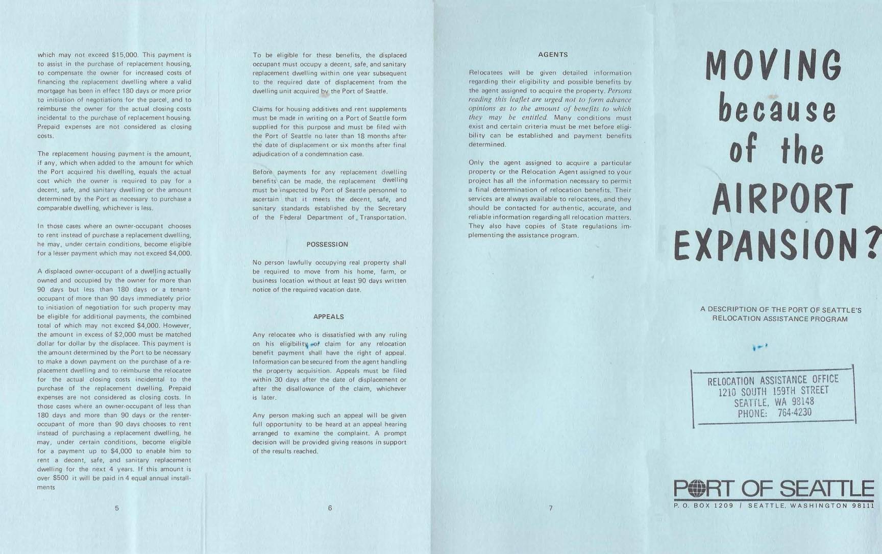
Moving Because of the Airport Expansion? A Description of the Port Of Seattle’s Relocation Assistance Program
A DESCRIPTION OF THE PORT OF SEATTLE'S RELOCATION ASSISTANCE PROGRAM -
 2023-04-24
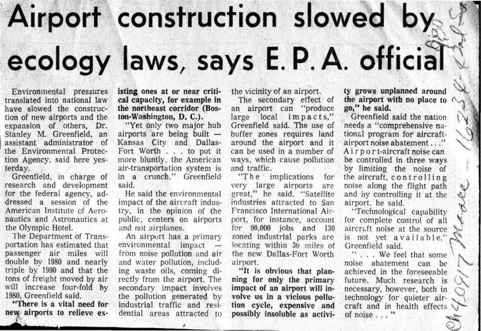
Airport construction slowed by ecology laws, says E.P.A. official
An EPA official warned in the early 1970s that environmental laws were slowing the construction and expansion of airports across the U.S., even as air travel demand was projected to double by 1980. Dr. Stanley Greenfield highlighted that airports create both direct pollution — including noise, air, and water contamination — and indirect impacts through the industrial and residential growth they attract nearby. He called for a comprehensive national program to address aircraft-airport noise, while acknowledging that the technology to fully eliminate aircraft noise at its source was not yet available. -
 2023-04-24
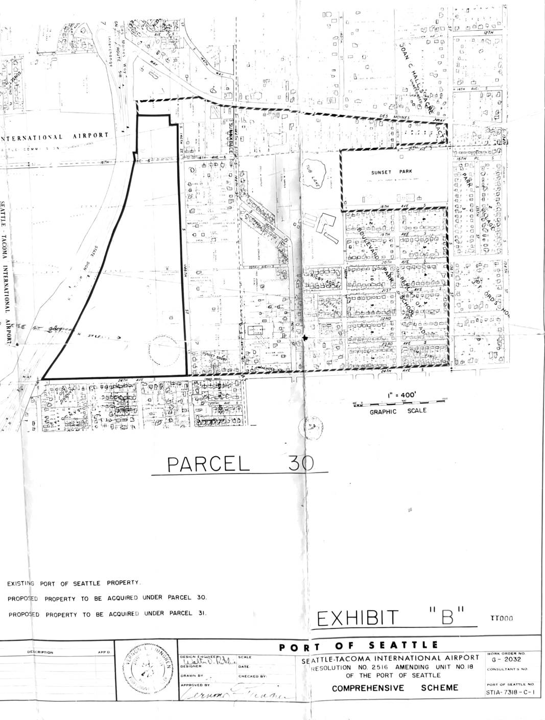
Parcel 30 – Exhibit B: Port Of Seattle comprehensive scheme, Resolution No. 2516 amending Unit No. 18
This document is Exhibit 'B' to Port of Seattle Resolution No. 2516, which amends Unit No. 18 of the Port of Seattle's Comprehensive Scheme for Seattle-Tacoma International Airport. It contains maps (Work Order No. G-2032, drawing STIA-7318-C-1) identifying Parcel 30 and Parcel 31 — areas of land proposed for acquisition by the Port of Seattle adjacent to the existing airport property, including neighborhoods near Sunset Park and Des Moines. The maps delineate existing Port-owned land from the proposed acquisition parcels, indicating planned airport expansion or noise-buffer land purchases in the surrounding residential area. -
 2023-04-24
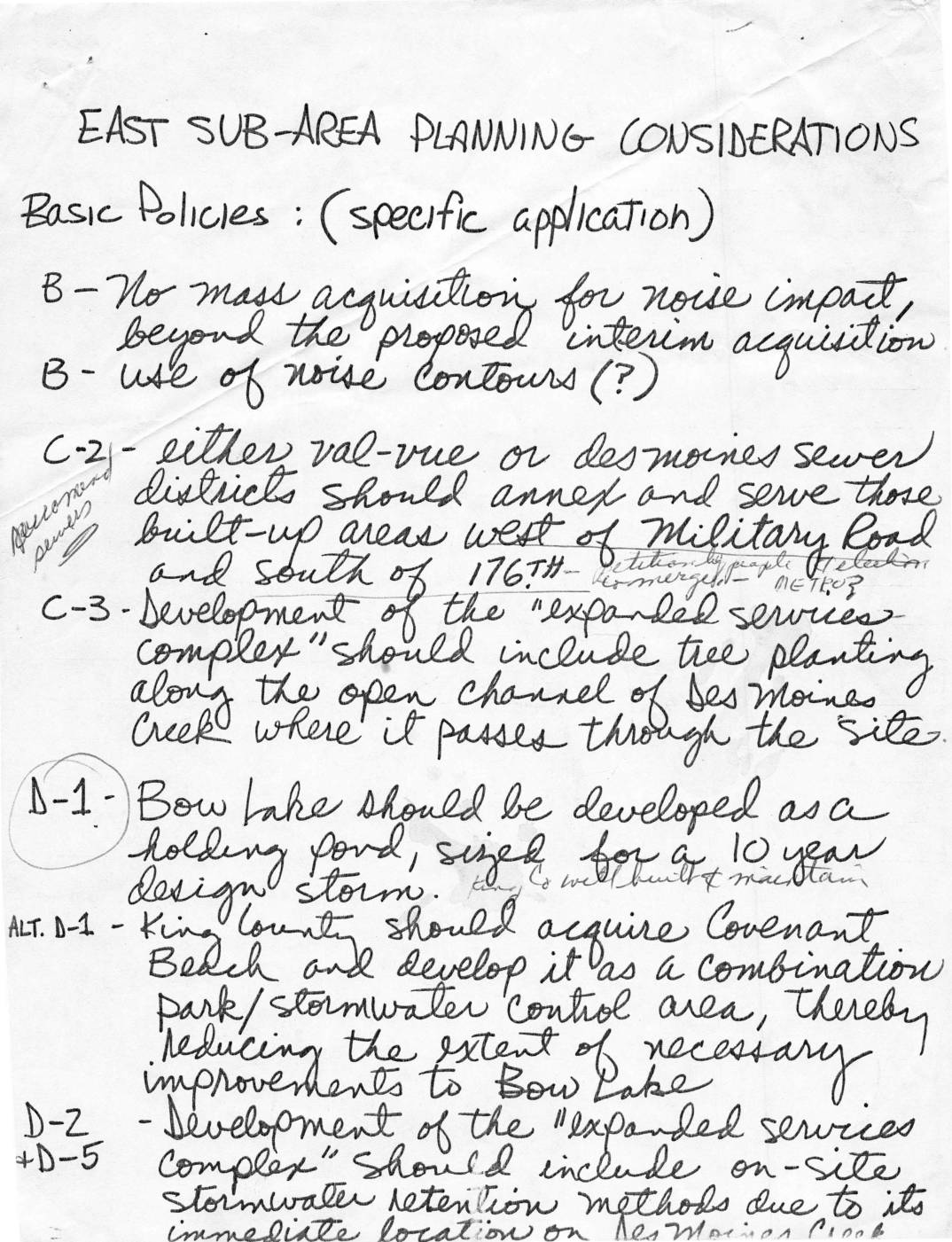
East sub-area planning considerations
This handwritten document outlines East Sub-Area Planning Considerations for the area surrounding Sea-Tac Airport, covering policies on noise impact, land use, stormwater management, and community development. Key proposals include limiting mass property acquisition for noise mitigation, expanding Angle Lake Park to protect the surrounding neighborhood from airport encroachment, and developing Bow Lake as a stormwater holding pond. Additional recommendations address bicycle and pedestrian paths along Military Road, setback and landscaping requirements near airport development districts, and preserving natural areas and residential views around McMicken Heights. -
 2022-12-02
Guidelines for Considering Noise in Land Use Planning and Control (USDOT/EPA)
This document appears to be a blank or nearly blank page with no readable text content, likely a placeholder or cover page from the Sea-Tac Airport noise policy archive. No substantive policy information, data, or findings could be extracted from this page. -
 2022-11-29
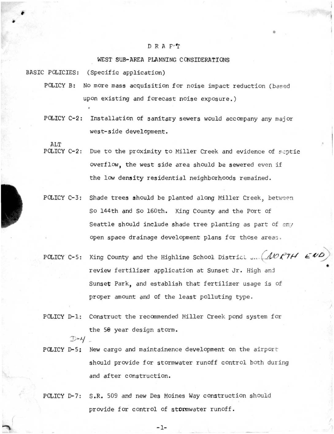
West sub-area planning considerations
This draft planning document outlines west sub-area policies near Sea-Tac Airport, addressing noise impact reduction, environmental concerns, and land use transitions. Key provisions include halting mass property acquisition for noise mitigation, installing sanitary sewers near Miller Creek, controlling stormwater runoff from new airport development, and planting shade trees along local waterways. The document also proposes orderly conversion of single-family residential areas to higher-intensity uses, coordinated with the construction of S.R. 509 as a western boundary for redevelopment.