TagSecond Runway(10)
-
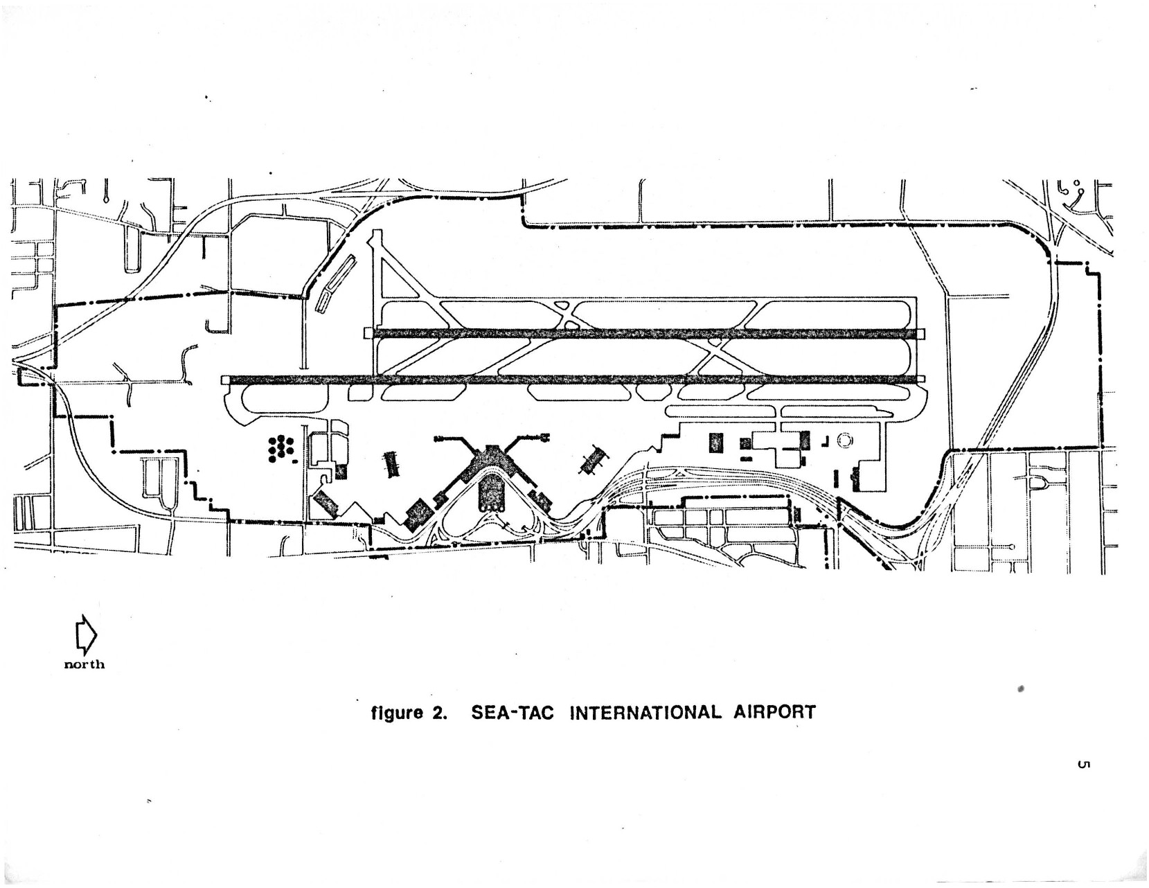
Second Runway Aerial Line Drawing – Planning for the airport and its environs: The Sea-Tac success story page 9
A black-and-white site plan map labeled 'Figure 2. SEA-TAC INTERNATIONAL AIRPORT,' showing the airport's runway configuration, taxiways, terminal area, and surrounding road network. A north arrow is included in the lower left corner, orienting the map with runways running roughly east-west. -
 2023-04-24
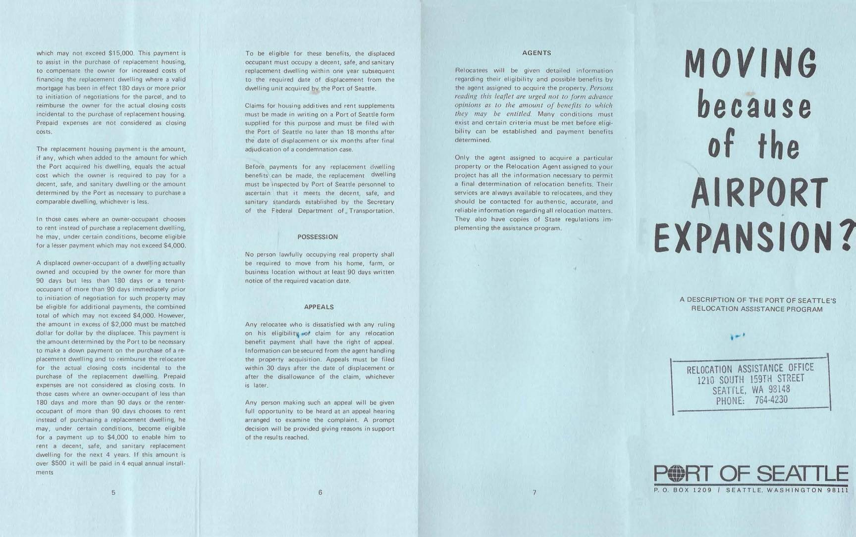
Moving Because of the Airport Expansion? A Description of the Port Of Seattle’s Relocation Assistance Program
A DESCRIPTION OF THE PORT OF SEATTLE'S RELOCATION ASSISTANCE PROGRAM -
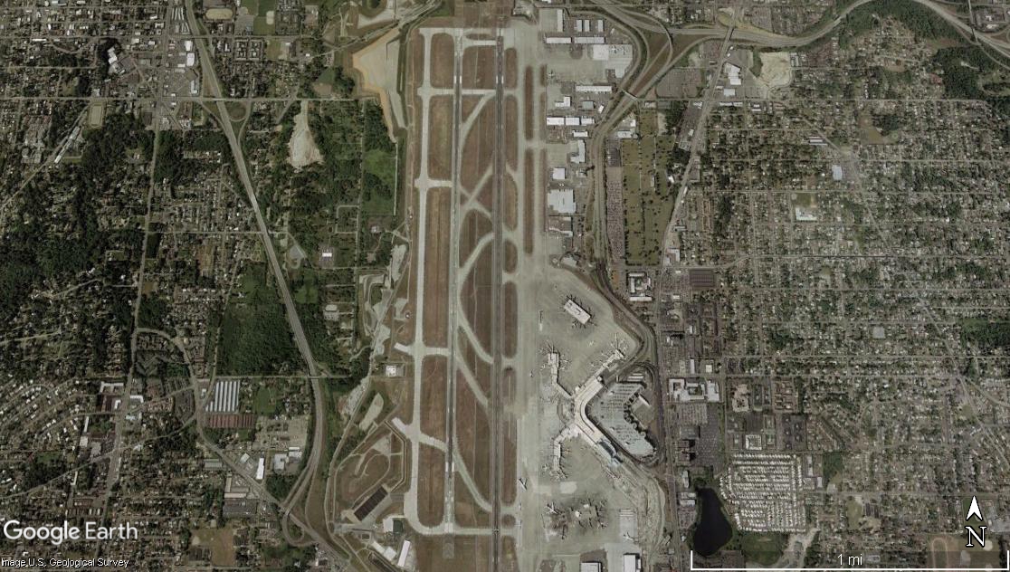
Sea-Tac Airport Two Parallel Runways Satellite View
Google Earth satellite image showing an airport with two parallel runways oriented roughly north-south, surrounded by dense residential and commercial development on all sides. The terminal complex and taxiways are visible on the east side of the runways; a scale bar indicates approximately 1 mile across the image. -
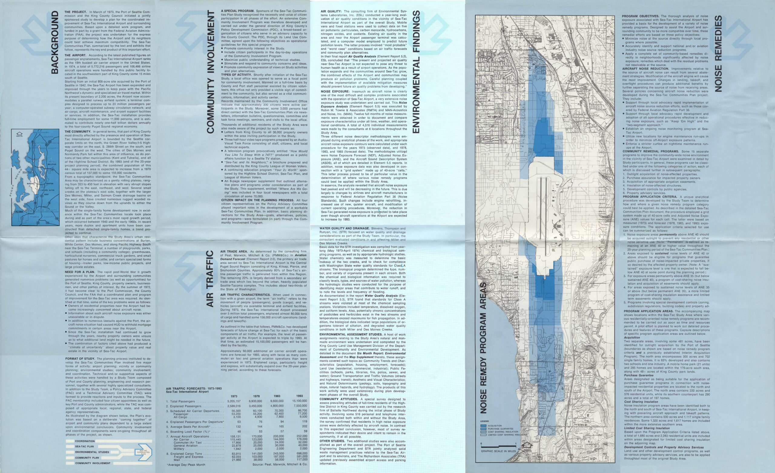
Sea-Tac Communities Plan Blue Community Brochure Page 2 of 2
A multi-panel informational brochure produced by the Port of Seattle summarizing the Sea-Tac Communities Plan, covering background, community involvement, air traffic forecasts, environmental findings (air quality, noise exposure, water quality), and noise remedy programs for the area surrounding Seattle-Tacoma International Airport. The document includes air traffic forecast tables projecting passenger and cargo figures from 1973 to 1993, a noise remedy program map, and references to King County and multiple consulting firms including PMA&Co., Environmental Systems Laboratories, and Stevens Thompson and Runyan. -
The Sea-Tac Communities Plan
★Overview The draft Sea-Tac Communities Plan (STCP) (known as “the Redbook” was delivered to the King County Council and Port of Seattle Commissioners in January 1975 after eighteen months of work and a $641,000 grant from the FAA. The authors were the Policy Advisory Committee, a twelve member group of citizens, King County, Port staff, -
Walker Aerial Photograph 2001
Aerial photograph of Seattle-Tacoma International Airport and surrounding urban area, dated May 6, 2001, as indicated by the caption in the lower left corner. The image shows the airport's runway complex, taxiways, terminal area, and the dense residential and commercial neighborhoods extending in all directions. -
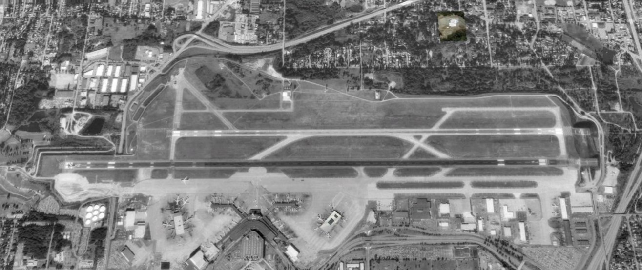 1990-01-01
Sea-Tac Airport 1990 Second Runway
Black-and-white aerial satellite or reconnaissance photograph showing a commercial airport with two parallel runways, taxiways, a terminal building with jet bridges, and surrounding suburban development. No visible text, watermarks, or captions are present to confirm the specific airport identity or date. -
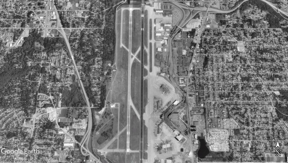 1990-01-01
Satellite Image of Single-Runway Airport With Urban Development
Google Earth satellite image (U.S. Geological Survey) showing a single primary runway airport surrounded by dense urban development. Visible features include parallel taxiways, terminal apron areas with parked aircraft, and a highway corridor to the west. This does not appear to be Sea-Tac Airport, which has multiple parallel runways. -
 1969-02-08
Sea-Tac International Airport: Part 3 — Boeing Bust to Deregulation
The Port of Seattle built Seattle-Tacoma International Airport during World War II to relieve pressure on existing airports such as Seattle’s Boeing Field. Following the war, Sea-Tac quickly established itself as the region’s aviation hub, but it had to undertake major improvements to accommodate newer jet aircraft and steadily increasing numbers of passengers. During the -
 1969-01-01
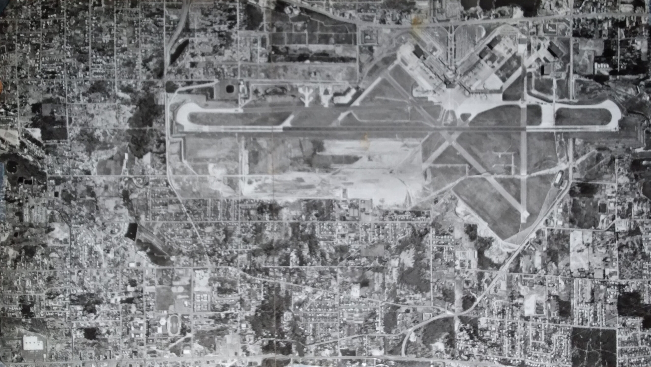
Second Runway Construction Aerial Photograph 1969
Black-and-white aerial photograph showing a large commercial or military airport with multiple runways in an X/crosswind configuration, taxiways, terminal areas, and extensive surrounding residential and commercial development. The image appears to be a historical mosaic aerial survey photograph, consistent with mid-20th century planning or noise-study documentation.