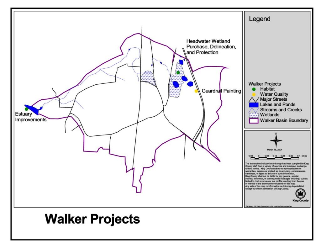
This King County map, dated March 15, 2004, identifies Walker Basin environmental projects including Estuary Improvements, Headwater Wetland Purchase and Protection, and Guardrail Painting. The map highlights key natural features such as lakes, ponds, streams, creeks, and wetlands within the Walker Basin boundary. Projects are categorized by type, including habitat and water quality initiatives, and are plotted against major streets and waterways in the area.Open full document
Notes
A King County map dated March 15, 2004 showing Walker Basin projects including Estuary Improvements, Headwater Wetland Purchase/Delineation/Protection, and Guardrail Painting. The map displays geographic features such as lakes, ponds, streams, creeks, and wetlands within the Walker Basin Boundary, with project sites categorized by Habitat and Water Quality types.