TagHistory(127)
-
Center Runway Reconstruction
The Port of Seattle completed reconstruction of the center runway (designated as 16C/34C) at Seattle-Tacoma International Airport in 2015. The runway was originally built in 1969 and had some brief closures during 2016 in order to complete adjoining projects with taxiways and blast pads. The project included installation of a new LED runway lighting system and an -
Why Is Sea-Tac Airport Shaped Like a Boomerang?
Donnelly, Devlin July 15, 2019 Did you know that the Sea-Tac Airport terminal is shaped somewhat like a boomerang? Want to know why? It isn’t just because of the obvious aesthetic appeal of the shape, or as a subtle reminder to make sure people keep coming back! The reason dates to the original configuration of -
 2017-05-12
SeaTac Airport history
Seattle-Tacoma International Airport (Sea-Tac) has grown from a modest wartime airfield dedicated in 1944 on 906 acres of land near Bow Lake into one of the busiest airports in the United States, now serving nearly 47 million passengers annually. Over the decades, the airport underwent numerous expansions, security upgrades, and name controversies while navigating major events such as airline deregulation, the post-9/11 security overhaul, and a community-opposed third runway completed in 2008. Today, Sea-Tac supports more than 87,000 jobs and generates over $22 billion in economic activity for the region. -
 2015-01-28
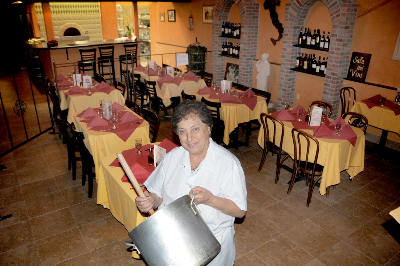
In “Mina’s” hands, Filiberto’s Restaurant brought the taste of Italy to Burien by Rob Clay | Westside Seattle
Wed, 01/28/2015 by Rob Clay Forty-three years ago, a small deli under the flight path along Des Moines Way opened for business. Filiberto Genzale, his brother Alfonso, their sister Filomina Perry and her husband Ron Perry had realized part of their dream of bringing a little of their homeland to the Northwest. The deli did -
 2014-06-01
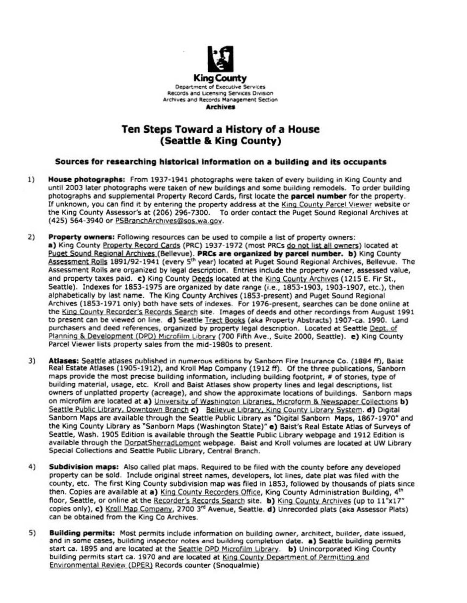
Ten Steps Toward a History of a House (Seattle & King County)
This King County Archives guide outlines ten steps for researching the history of a house in Seattle and King County, covering sources such as historical building photographs, property records, atlases, subdivision maps, building permits, census data, and city directories. Researchers can access materials through institutions like the Puget Sound Regional Archives, Seattle Public Library, and University of Washington Libraries, as well as various online databases. While the guide focuses on general property and occupant history, it provides a useful framework for tracing land use and development patterns relevant to regional planning and noise policy research. -
2010-04-01
From Whence Came Ldn / DNL 65?
by Nick Miller With FAA developing a research roadmap, and fears (hopes?) expressed by many in our airport noise community that the compatibility guideline might change, I became “curiouser and curiouser” about the real origin of 65 DNL as various claims were made about its origin, its immutability, its arbitrariness, and its scientific basis or -
 2010-01-06
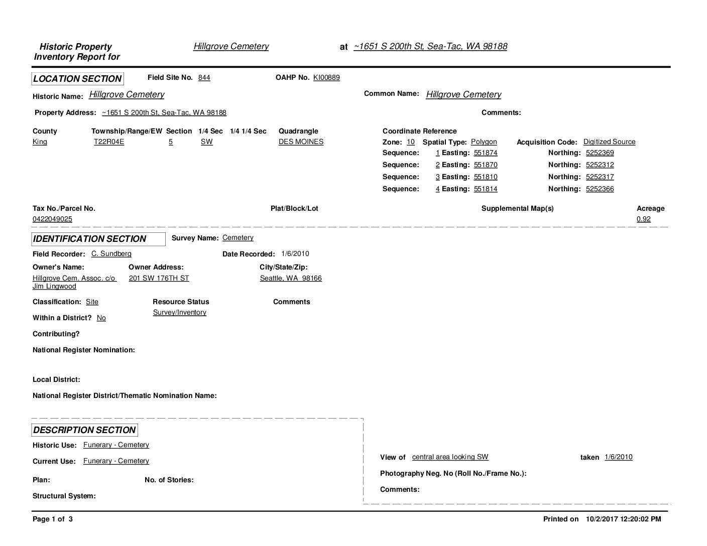
Historic Property Inventory Report: Hillgrove Cemetery, Sea-Tac, WA
Hillgrove Cemetery is a small, historic community cemetery located near Sea-Tac Airport at approximately 1651 S 200th St in Sea-Tac, WA, established around 1900 on land donated by early settler Fred Kinkling. Designated a King County Community Landmark in 1982, the 0.92-acre site contains an estimated 350 burials dating from 1889 to 2001, representing pioneers and Civil War veterans from the surrounding Highline/Des Moines area. The cemetery, situated just west of the planned southern route of SR509 on land surrounded by Port of Seattle-owned parcels, has experienced ongoing challenges including vandalism, neglect, and overgrowth. -
 2009-12-10
Aviation noise impact: A historical perspective
This December 2009 presentation by Kenneth J. Plotkin of Wyle Laboratories examines the history of aviation noise impact research, tracing how noise metrics evolved over time and what was learned—or lost—along the way. It outlines the FAA's Aviation Noise Impacts Research Roadmap, whose goals include improving understanding of annoyance and sleep disruption, developing exposure-to-impact assessments, and informing policy, mitigation strategies, and cost-benefit models. The presentation emphasizes the importance of learning from past research efforts to avoid repeating mistakes in future noise policy decisions. -
 2005-06-01
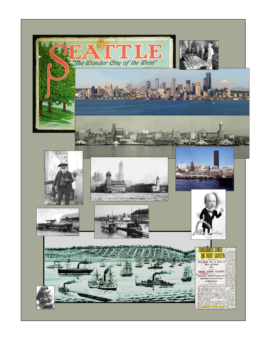
Seattle Waterfront: An Illustrated History
Seattle Waterfront: An Illustrated History by Paul Dorpat (2005) is a detailed historical survey of Seattle's waterfront development, covering topics from early Native American settlements and pioneer-era railroad history to post-World War 2 urban planning proposals. The work traces the physical and cultural evolution of the waterfront through historical maps, photographs, and written accounts spanning from the 1840s through the modern era. Note: this document focuses on Seattle's waterfront history and does not contain content related to Sea-Tac Airport noise policy. -
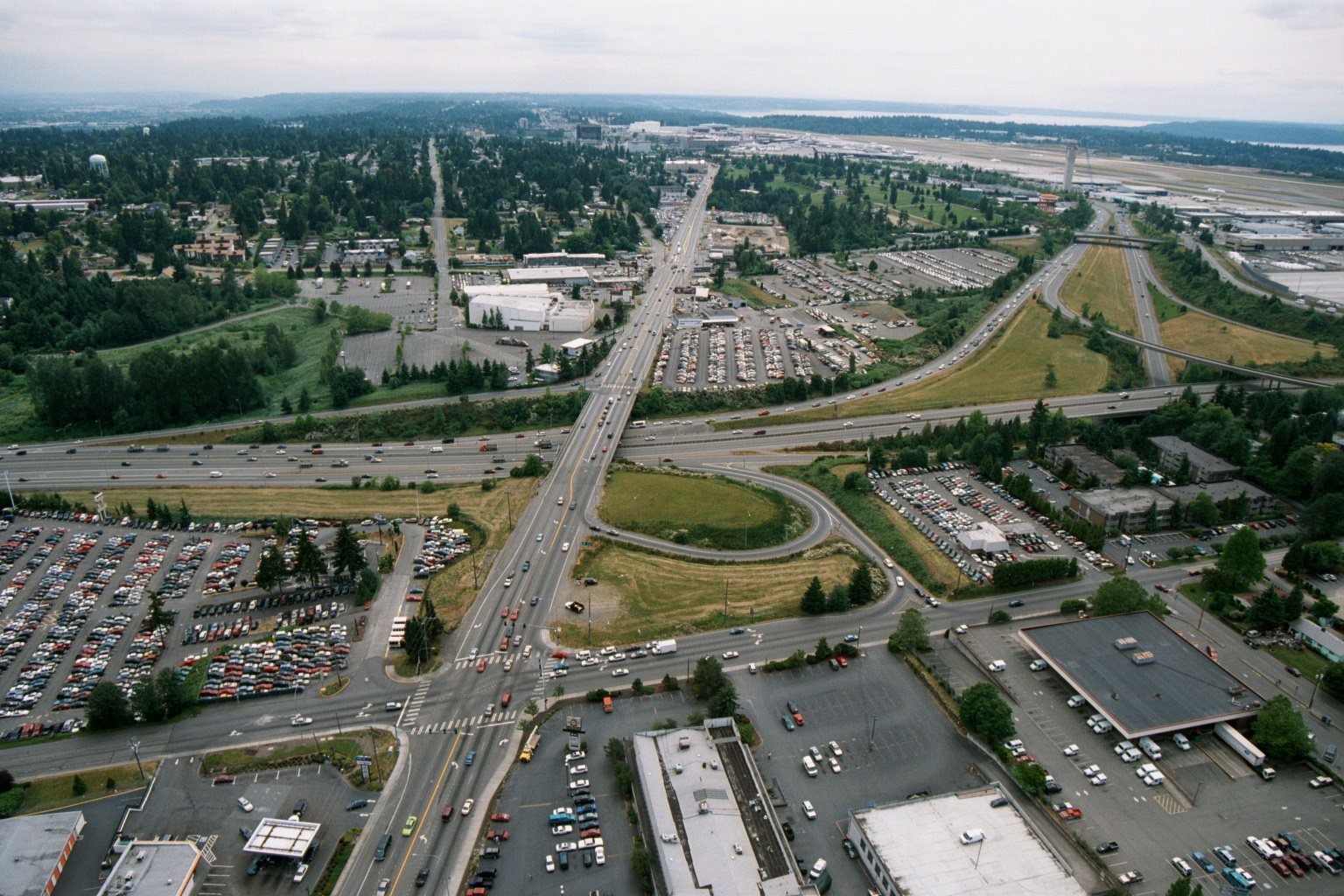
Aerial View of Highway Interchange Near Sea-Tac Airport, 1970s–1980s
Aerial photograph looking northward toward Seattle-Tacoma International Airport (visible runway and terminal area in background right), showing a major highway interchange—likely International Boulevard (SR-99) crossing Interstate 5—with surrounding commercial parking lots, auto dealerships, and suburban development. The image appears to be from the 1970s or early 1980s based on vehicle styles and development density, consistent with a Sea-Tac Airport noise-policy or planning archive.