TagHistory(127)
-
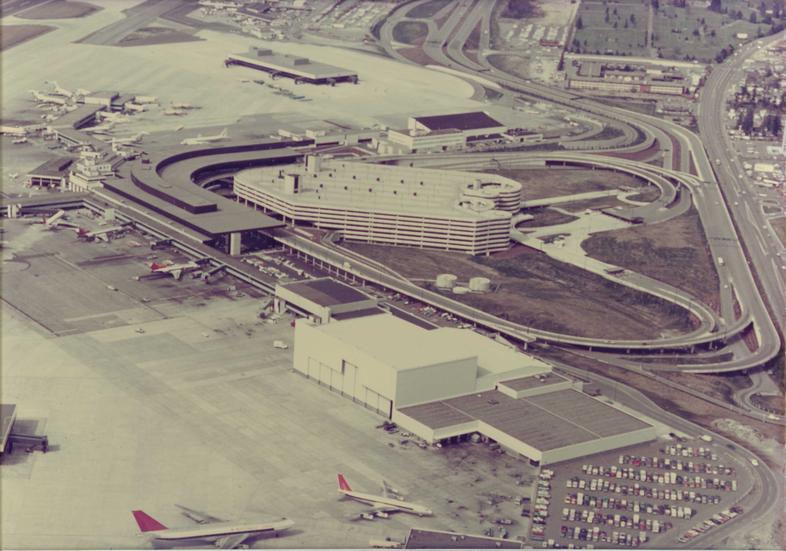
Sea-Tac Airport Aerial View, circa 1970s
Aerial photograph showing a large airport terminal with a curved concourse design, a multi-story parking garage with a circular ramp system, and numerous aircraft at gates. The image appears to date from the 1970s based on aircraft types, vehicle styles, and construction era of the facilities visible, consistent with Sea-Tac Airport's terminal expansion period. -
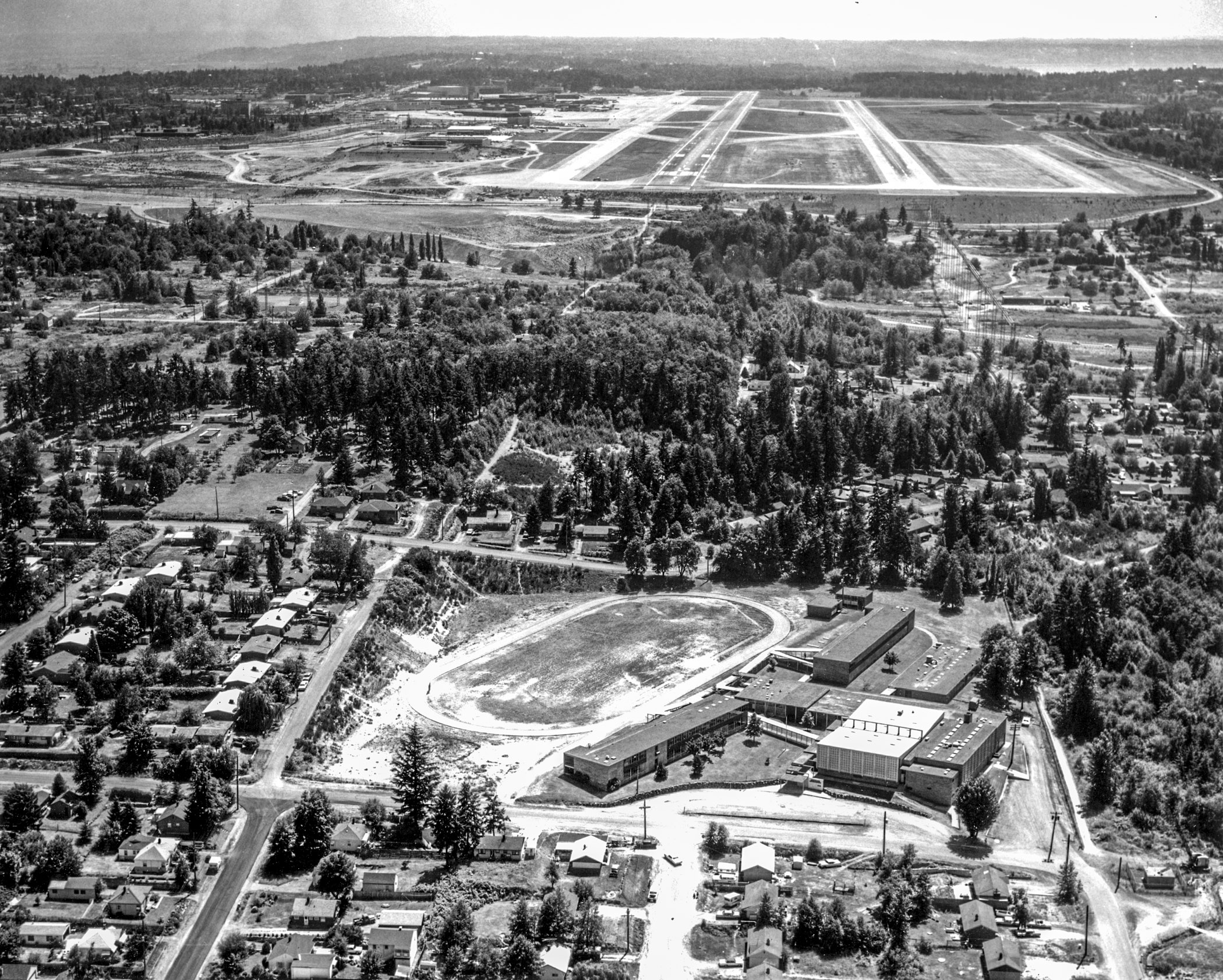
Aerial View of Sea-Tac Airport Runways and Adjacent Residential Neighborhood
Black-and-white aerial photograph showing a mid-20th century airport with multiple runways and taxiways in the background, and a residential neighborhood with a large oval water reservoir or sports track and modernist institutional buildings in the foreground. No visible text, captions, or watermarks are present in the image. -
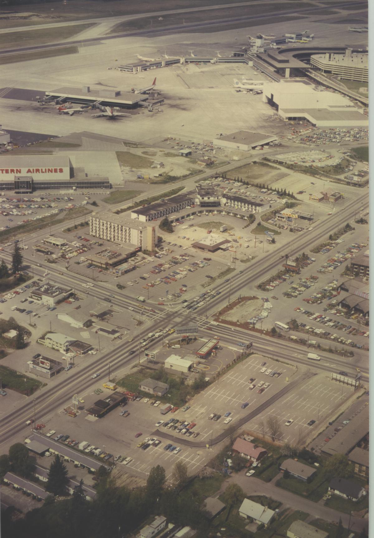
STIA historical south east aerial
Aerial photograph looking north toward Sea-Tac Airport showing terminal buildings, aircraft at gates, and a Western Airlines facility (visible signage on left). The foreground shows the International Boulevard/Pacific Highway South commercial corridor with motels, parking lots, and retail businesses adjacent to the airport. -
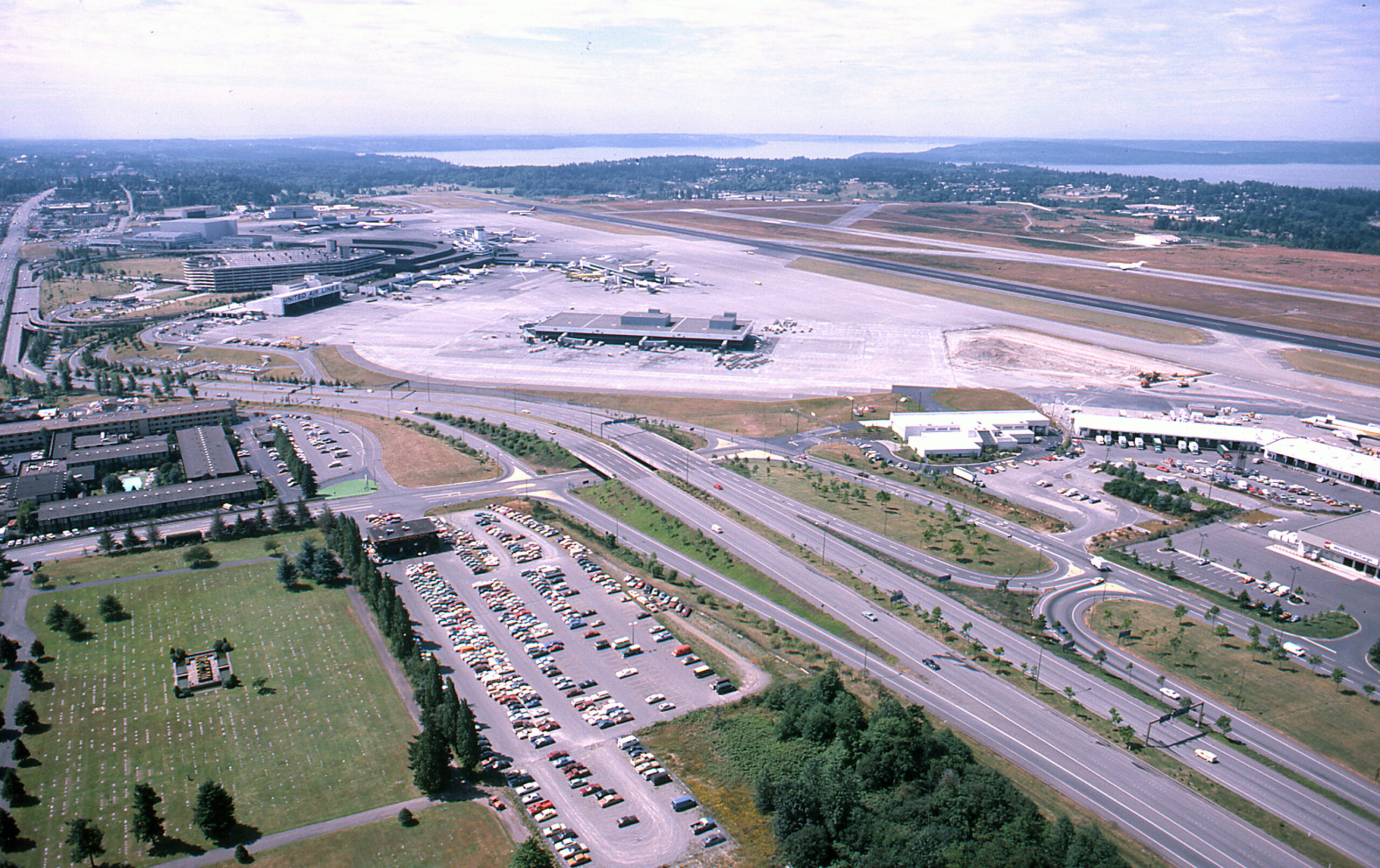
SEA-TAC Aerial w cargo 1981
Aerial photograph looking northward over Sea-Tac Airport showing the main terminal complex, satellite concourses, apron areas, runways, and Puget Sound visible in the background. A large surface parking lot, access roads, and adjacent commercial/hotel buildings are visible in the foreground; vehicle styles and airport layout suggest the photograph dates from the early-to-mid 1970s. -
 2022-08-27
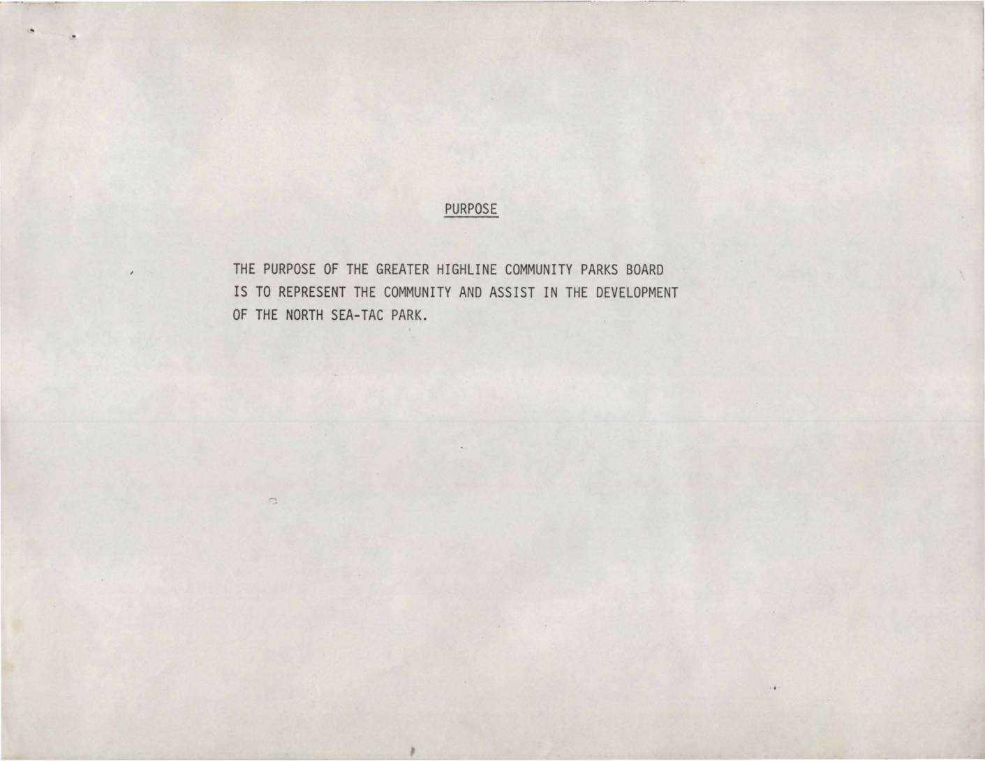
Greater Highline Community Parks Board: Purpose, Plan for Park Development, and History of North Sea-Tac Park
The Greater Highline Community Parks Board was organized in early 1981 to represent the local community in developing the North Sea-Tac Park, a project arising from the Port of Seattle's acquisition of land severely impacted by airplane noise from Sea-Tac Airport. The development plan included steps such as securing a master lease with the Port of Seattle, organizing sports and recreation programs, cleaning up and improving the site, and potentially taking over Sunset School for community use. Key milestones between 1980 and 1981 included a $30,000 master plan study, approvals from both the Port of Seattle Commission and King County, and a bid by the Parks Board on all Sunset School buildings contingent on obtaining the master lease. -
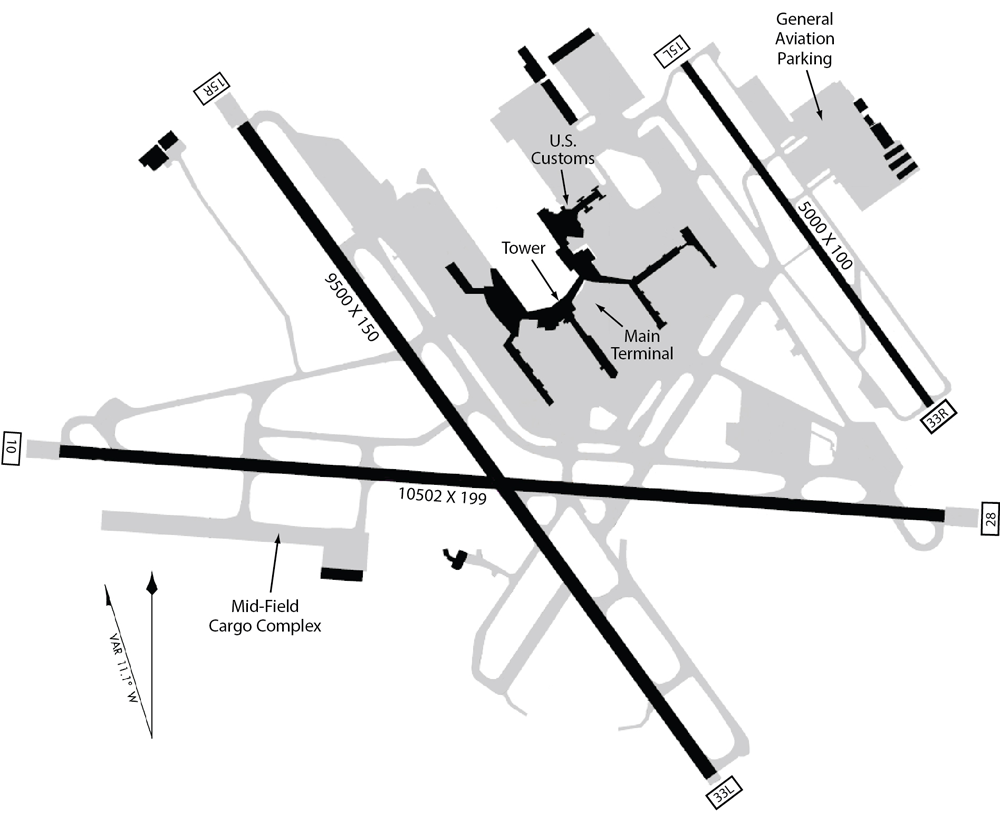
Airport Runway Layout Diagram (For Illustration Purposes Only) — Terminal, Tower, Customs, and Mid-Field Cargo Complex
This is an airport diagram showing multiple runways including one labeled 10502 x 199 feet and another 9500 x 150 feet, with facilities marked including a Main Terminal, U.S. Customs, Tower, Mid-Field Cargo Complex, and General Aviation Parking. Runway end identifiers visible include 10, 28, 15R, 33L, 33R, and 75L, consistent with a large international airport layout, though no airport name or ICAO/IATA code is explicitly shown. -
 2022-08-07
Port Package Problems Example: Rotted Wood Framing At Building Base
Close-up photograph of Port Package problem 0812: Severely deteriorated and rotted wood framing or sill plate at the base of a structure. The wood exhibits extensive decay with fragmented, crumbling pieces scattered around the affected area. PVC pipe and painted wood trim elements are also visible in the image. -
 2022-07-10
Sea-Tac Communities Plan: Chapter 3.1 Background
This document provides historical background on Seattle-Tacoma (Sea-Tac) Airport, tracing its origins to 1942 when the Civil Aeronautics Administration selected a site near Bow Lake and the Port of Seattle acquired the original 906 acres. As the jet age arrived and the airline industry expanded, the surrounding communities experienced rapid urbanization, bringing with it land use conflicts, traffic problems, pollution, and shortsighted commercial development. The Sea-Tac Communities Plan background chapter examines these challenges as context for developing more thoughtful, long-term planning policies for the airport region. -
 2020-05-29
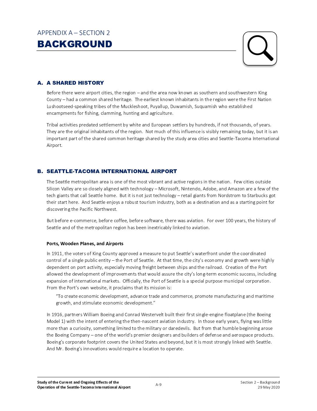
Stantec Sea-Tac Airport Communities Impact Study: Section 2 – Background (Appendix A, pp. 9–11)
This background section traces the history of Seattle-Tacoma International Airport from its origins as a World War II military airfield to its current status as the eighth busiest U.S. airport, handling 51.8 million passengers in 2019. It covers key milestones including the airport's 1949 opening for commercial service, the controversial addition of a third runway in 2008, and the surrounding communities that have been affected by the airport's growth. The document also outlines the Port of Seattle's future expansion plans under its Sustainable Airport Master Plan, which aims to accommodate nearly 500,000 operations and 56 million passengers annually by 2027. -
Why Airports Die
The distinctive design of the Pan-Am Worldport at JFK International Airport, built in 1960, wasn’t enough to save it from the wrecking ball. Dmitri Kessel/The LIFE Picture Collection via Getty Images Anthony Paletta 12:07 PM ET Expensive to build, hard to adapt to other uses, and now facing massive pandemic-related challenges, airport terminals often live