TagHistory(127)
-
 2001-06-22
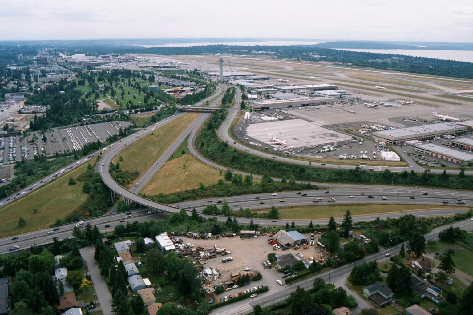
Aerial View of Sea-Tac Airport, Terminal Complex, and I-5 Interchange
Aerial photograph looking north toward Seattle-Tacoma International Airport (Sea-Tac), showing the terminal complex, control tower, aircraft aprons, and runways adjacent to Puget Sound in the background. The foreground shows a major freeway interchange (likely Interstate 5 and SR 518/Sea-Tac access roads) with surrounding commercial and residential development, consistent with imagery from the 1970s–1980s based on aircraft liveries and infrastructure visible on the ramp. -
 2001-06-22
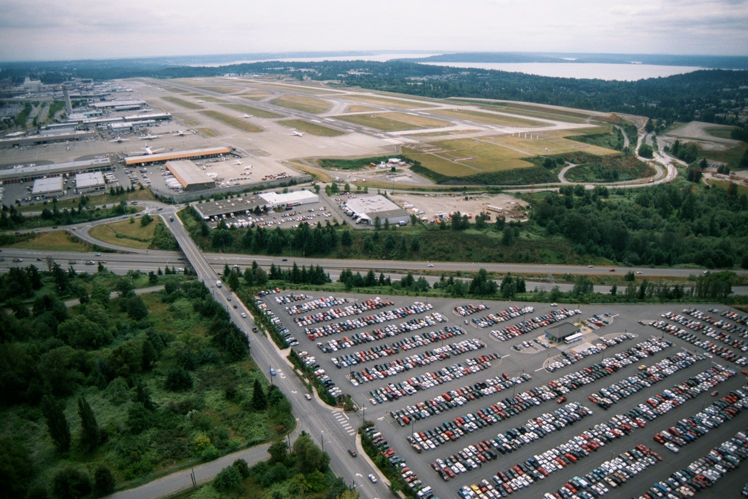
Sea-Tac Airport Aerial View Showing Runways, Terminal, and Puget Sound
Aerial photograph showing Sea-Tac Airport's runway complex, terminal area, and cargo/maintenance facilities, with a large surface parking lot in the foreground and Puget Sound visible in the background. The image appears to date from the late 1970s or 1980s based on vehicle styles and airport infrastructure visible. -
 2001-05-06
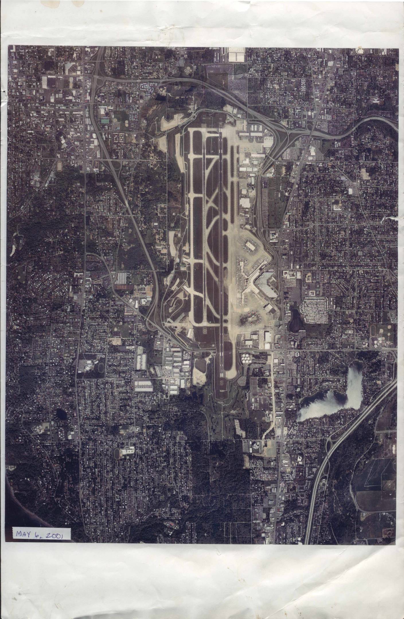
Sea-Tac Airport aerial photograph, May 6, 2001
An aerial photograph of Seattle-Tacoma International Airport (Sea-Tac) and its surrounding neighborhoods, taken on May 6, 2001, by Walker and Associates Photogrammetric and GIS Services of Seattle, WA. The image, printed at an approximate scale of 1 inch equals 1,700 feet, shows the airport's runways, taxiways, terminals, and the densely developed residential and commercial areas nearby. It is identified under negative number 1245 SEATAC PP-3 and work order number 26599, and is copyrighted 2001. -
 1999-01-01
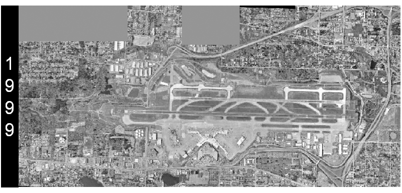
Sea-Tac Airport Aerial Survey, 1999
A grayscale aerial photograph dated 1999 shows a large commercial airport with multiple parallel runways, taxiways, terminals, and surrounding suburban development. The '1999' watermark is visible on the left side of the image, indicating the year this aerial survey was conducted. -
 1998-06-11
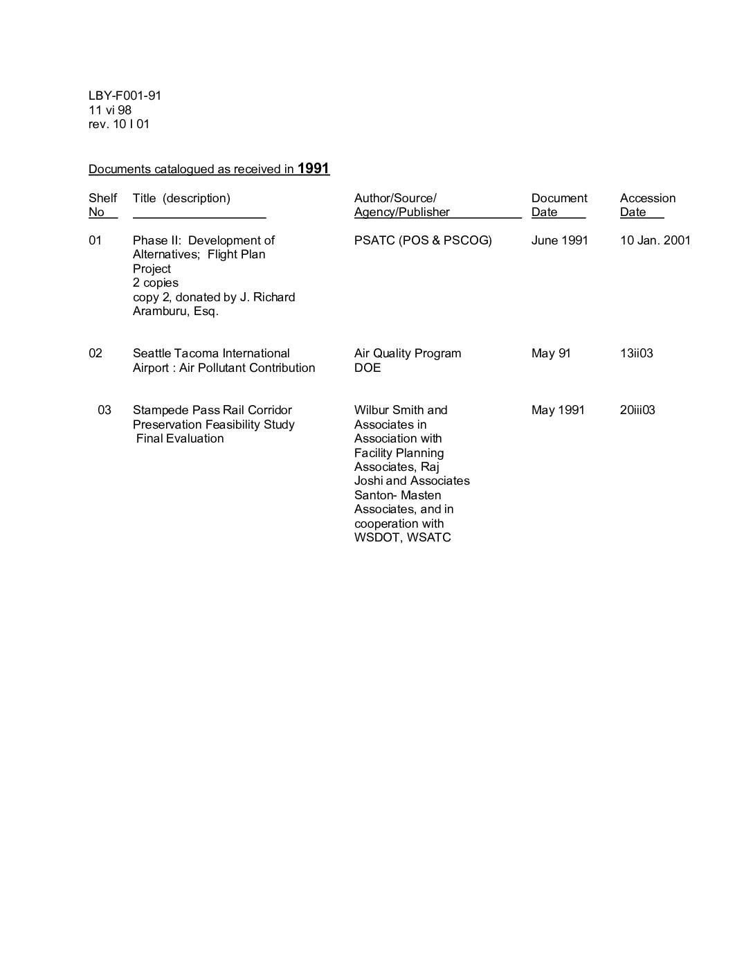
Documents catalogued as received in 1991
This catalog log lists three transportation planning documents received in 1991 and accessioned into an archive between 2001 and 2003. The documents cover Puget Sound regional transportation alternatives (the Flight Plan Project), air pollutant contributions at Seattle-Tacoma International Airport, and a feasibility study for preserving the Stampede Pass Rail Corridor. Together they represent early 1990s regional planning efforts related to air quality, rail, and transportation policy in the greater Seattle-Tacoma area. -
 1998-06-11
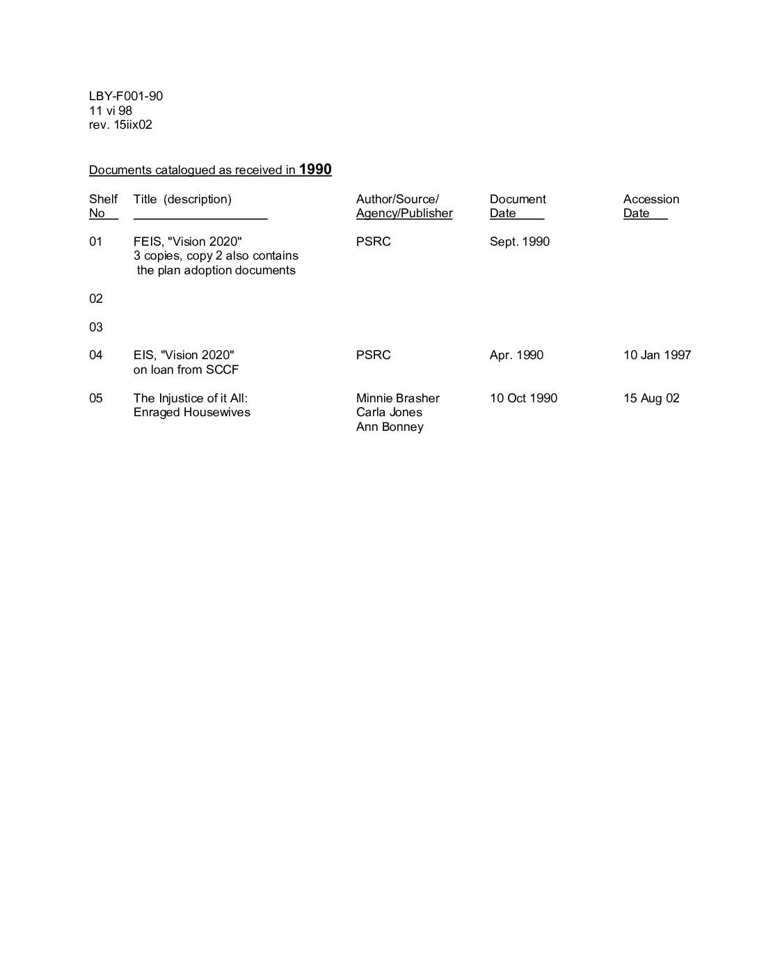
Documents catalogued as received in 1990
This is a library catalog sheet listing documents received in 1990 related to regional planning and community concerns in the Seattle-Tacoma area. It includes two versions of the 'Vision 2020' environmental impact statement published by the Puget Sound Regional Council (PSRC), as well as a community document titled 'The Injustice of It All' authored by a group called Enraged Housewives. The catalog was originally created in June 1998 and last revised in August 2002. -
 1990-01-01
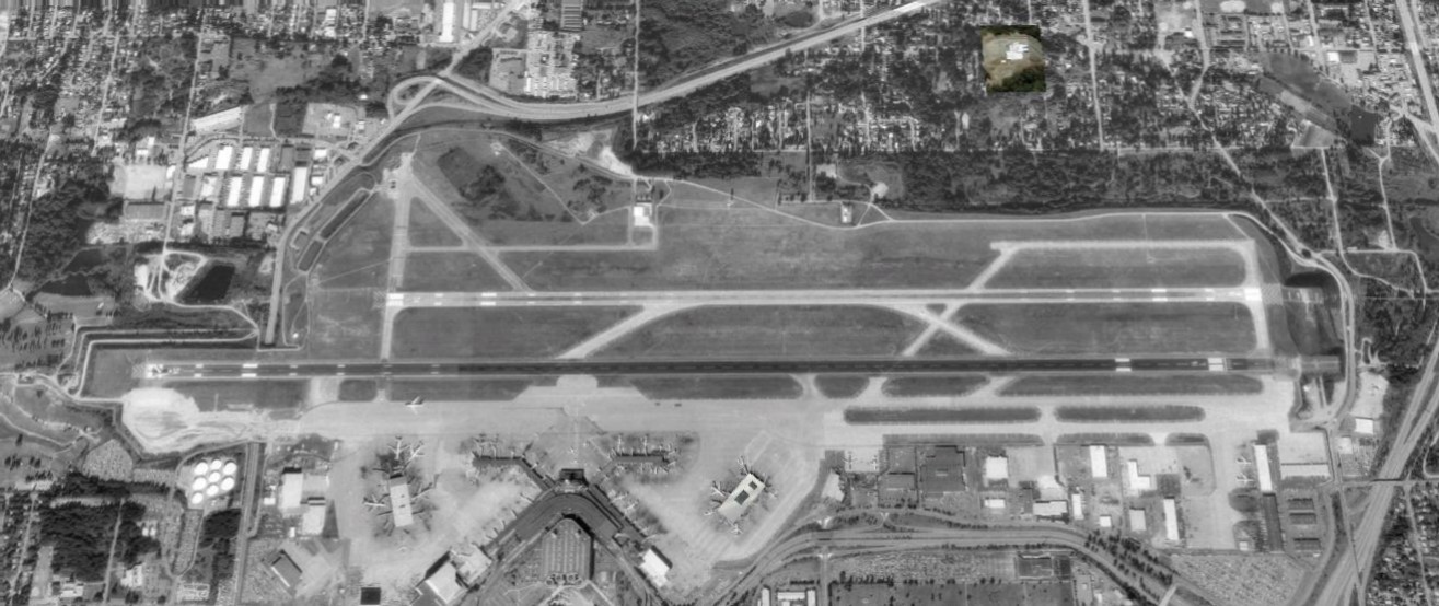
Sea-Tac Airport 1990 Second Runway
Black-and-white aerial satellite or reconnaissance photograph showing a commercial airport with two parallel runways, taxiways, a terminal building with jet bridges, and surrounding suburban development. No visible text, watermarks, or captions are present to confirm the specific airport identity or date. -

-
 1982-01-01
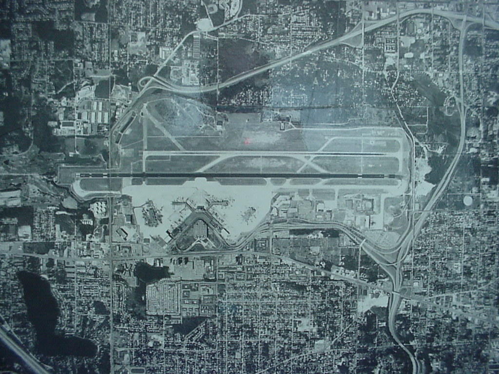
Sea-Tac Airport Aerial View, 1982
Black-and-white aerial photograph showing a large commercial airport with multiple parallel runways, terminal buildings with gate concourses, and surrounding urban development including residential neighborhoods, roads, and highway interchanges. No visible text, date, or identifying labels are present in the image. -
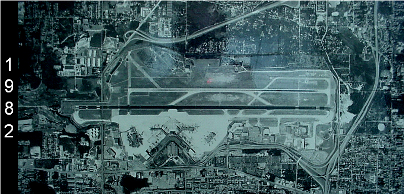 1982-01-01
Sea-Tac Airport Aerial View, 1982
An aerial photograph of Seattle-Tacoma International Airport dated 1982, showing the runway configuration, terminal area, and surrounding urban development. The year '1982' is visible as text on the left side of the image.