TagHistory(127)
-
 1948-01-01
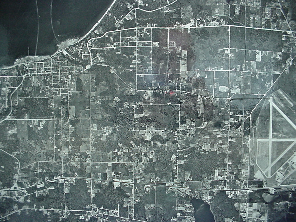
1948 Aerial View of Sea-Tac Airport and Surrounding Area
Black-and-white aerial photograph showing a grid-pattern urban/suburban area with a body of water visible at the upper left and a clearly identifiable airport with triangular runway configuration in the lower right. A small red marker is visible near the center of the image, possibly indicating a reference point of interest. -
 1948-01-01
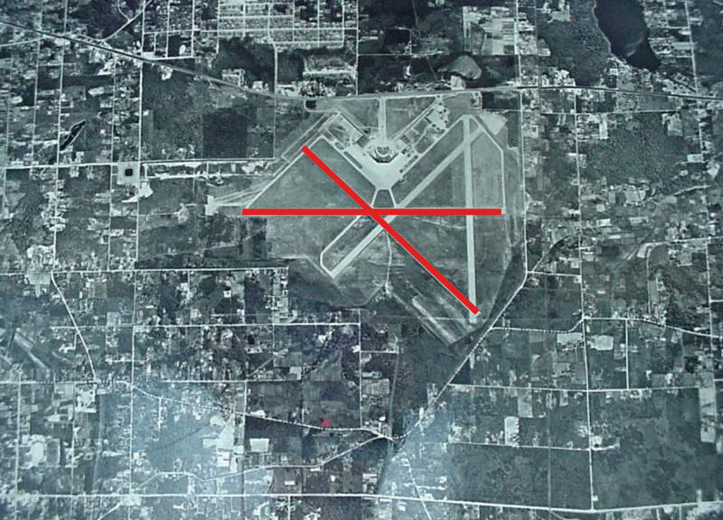
Sea-Tac Airport 1948 Aerial Photograph With Closed Runway Markers
Black-and-white aerial photograph of an airport facility showing multiple runways in an X-pattern configuration. Two red lines have been overlaid on the image forming an X shape, a standard aeronautical symbol indicating closed or decommissioned runways. -
 1948-01-01
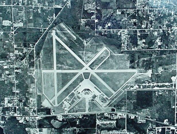
Sea-Tac Airport Aerial Photo, 1948
-
 1947-01-01
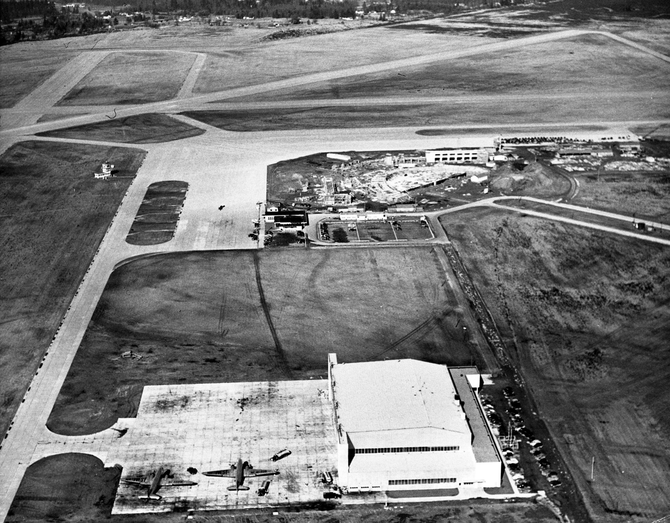
SEA-TAC Early Construction Circa 1947
Black-and-white aerial photograph showing an airport facility with runways, a large hangar building in the foreground with several propeller aircraft on the apron, and what appears to be active construction of terminal or support buildings in the mid-ground. The early runway configuration and propeller-era aircraft suggest a mid-20th century timeframe, consistent with Sea-Tac Airport's development period. -
 1933-01-01
1933 Ethyl Gasoline Corporation print advertisement
A 1933 print advertisement for Ethyl Gasoline Corporation (New York), illustrated by Frederic Stanley, featuring the headline 'Gee, Pop – They're All Passing You' with a father and son in a car. The ad promotes Ethyl leaded gasoline as 'The World's Highest Quality Motor Fuel' and notes 'Ethyl fluid contains lead. © E.G.C. 1933.' -
 1923-06-28
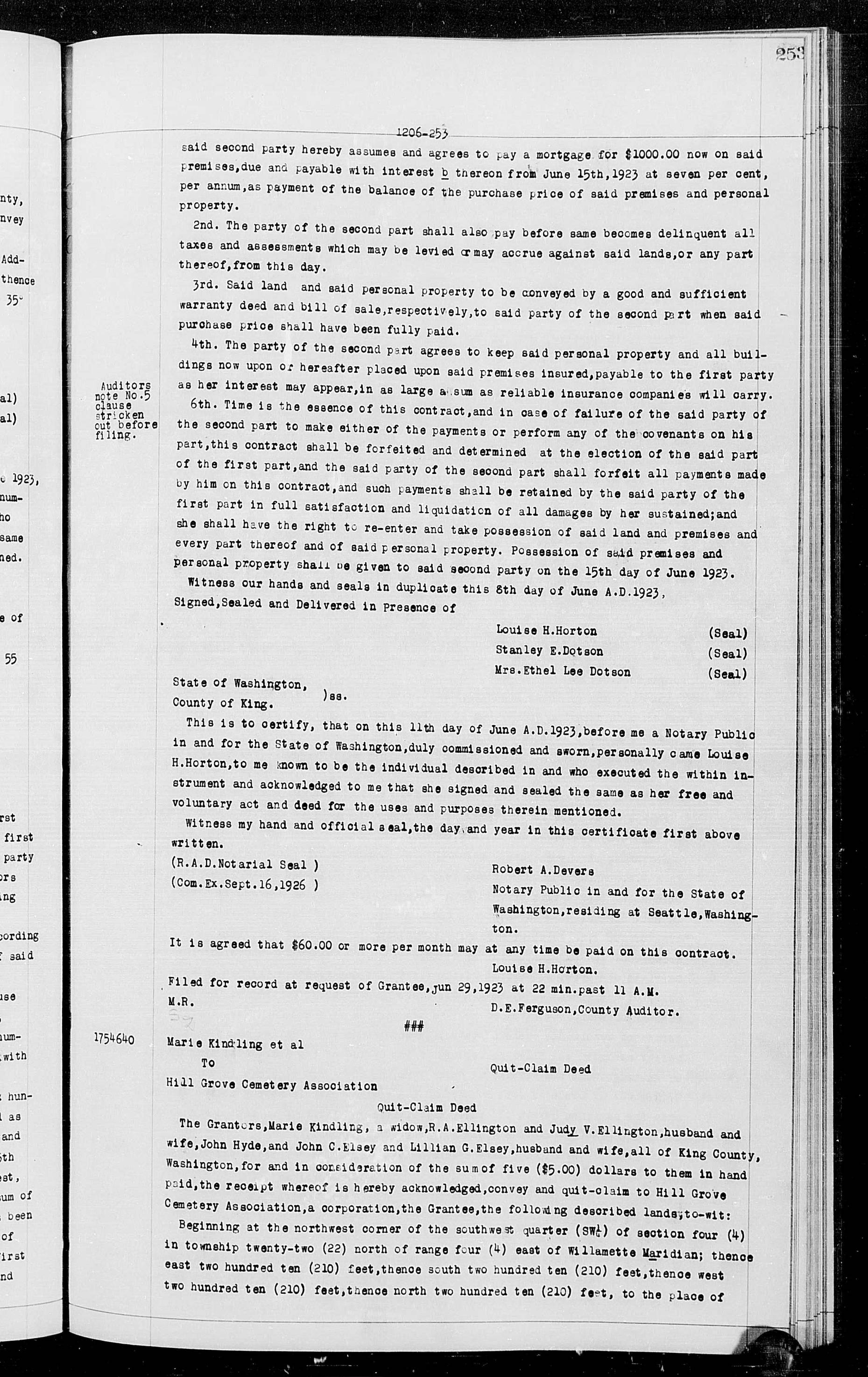
Quit-Claim Deed: Marie Kindling et al. to Hill Grove Cemetery Association
These are King County, Washington property records from June 1923, including a real estate purchase contract, a quit-claim deed transferring land to Hill Grove Cemetery Association, and an assignment of a real estate contract. The documents cover property transactions in the greater Seattle area, detailing payment terms, land descriptions, and notarized acknowledgments. These records are part of the historical King County Auditor's deed registry and are not directly related to Sea-Tac Airport noise policy. -
 1884-01-01
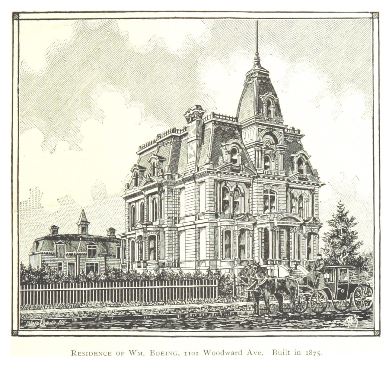
Birthplace of William Boeing, 1101 Woodward Avenue, Detroit
An engraved illustration depicting the mansion of William Boeing at 1101 Woodward Avenue, built in 1875, showing a large Second Empire-style residence with a mansard roof and corner tower. A horse-drawn carriage is visible in front of the property, with a picket fence along the street.