Notes
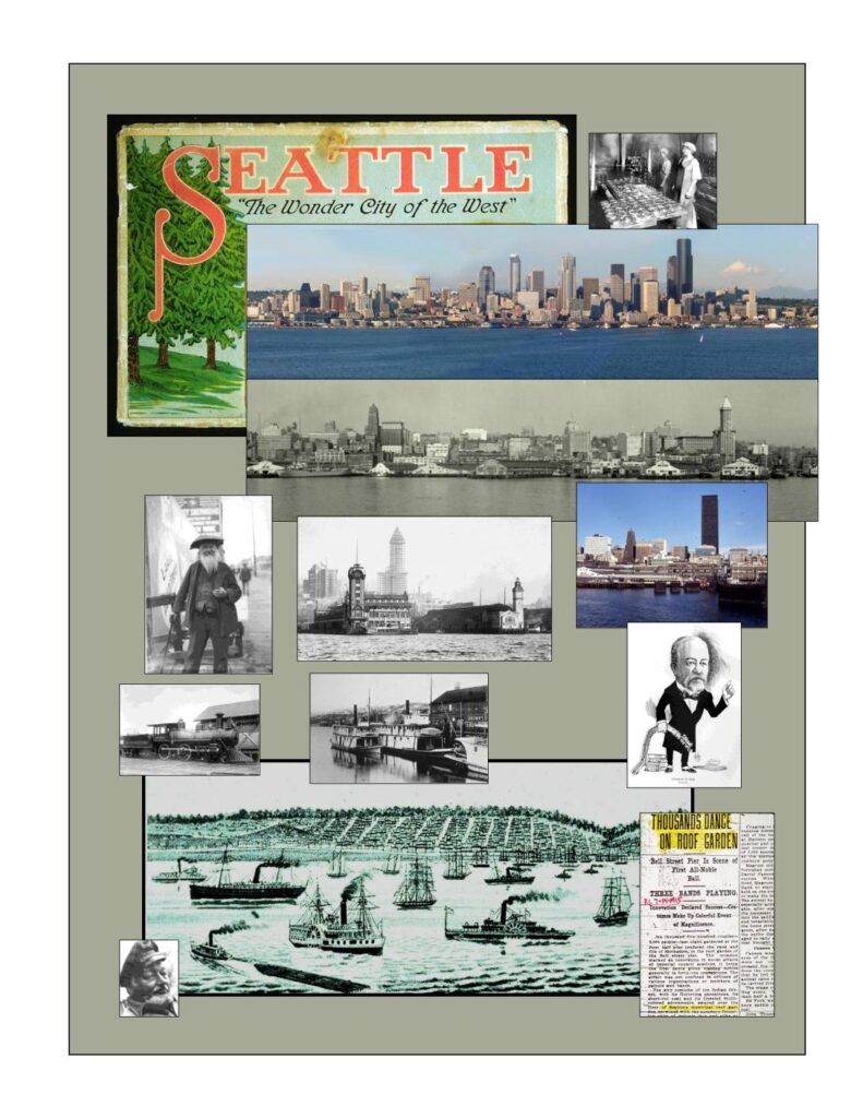
Illustrated history of the Seattle waterfront by Paul Dorpat, June 2005. Covers the pre-1889 fire waterfront, early railroad history including the Northern Pacific transcontinental arrival (1883), Seattle Lake Shore and Eastern Railroad, Governor Isaac Stevens 1853 survey, Henry Villard, Railroad Avenue, Yesler’s Wharf, Pioneer Square, native settlements including Djidjila’letch and BAHK-bah-kwhb (Muck-muck-wum), Princess Angeline, Belltown, Denny Hill, Seneca Street Ravine, the 1876 Front Street regrade, historical maps (1841 Wilkes, 1854 Coast Survey, 1874-75 Federal Survey, 1856 Phelps), Port of Seattle post-WWII proposals, Alaskan Way Viaduct, and waterfront panoramas from 1865–1878. Includes table of contents with page references.