TagHistory(127)
-
 1982-01-01
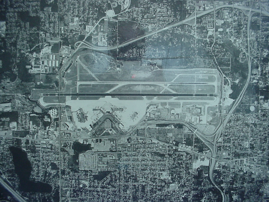
Sea-Tac Airport Aerial View, 1982
Black-and-white aerial photograph showing a large commercial airport with parallel runways, terminal buildings with gate fingers, surrounding roadway infrastructure, and dense urban development on multiple sides. No visible text, date, or identifying labels are present in the image. -
 1982-01-01
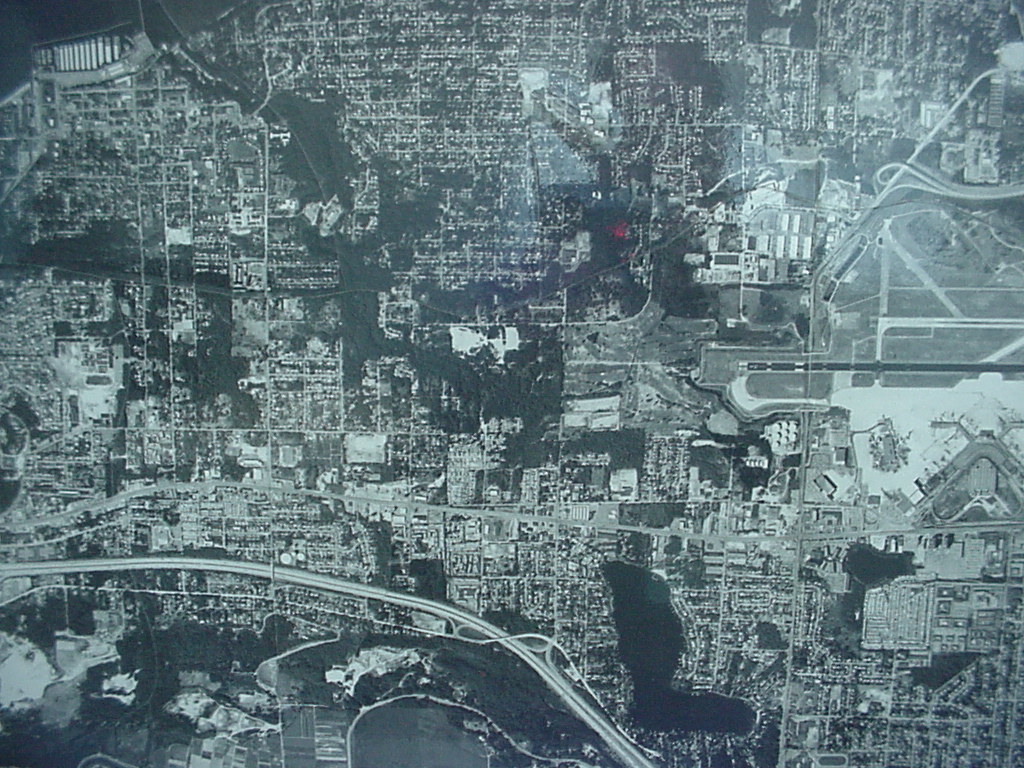
Aerial Photograph of Sea-Tac Airport Runway Complex and Surrounding Urban Area, 1982
Black-and-white aerial photograph showing a densely developed urban grid with residential and commercial areas. A runway complex is visible in the upper right quadrant, and a river or waterway curves through the lower portion of the image, consistent with an airport noise study context. -
 1981-01-15
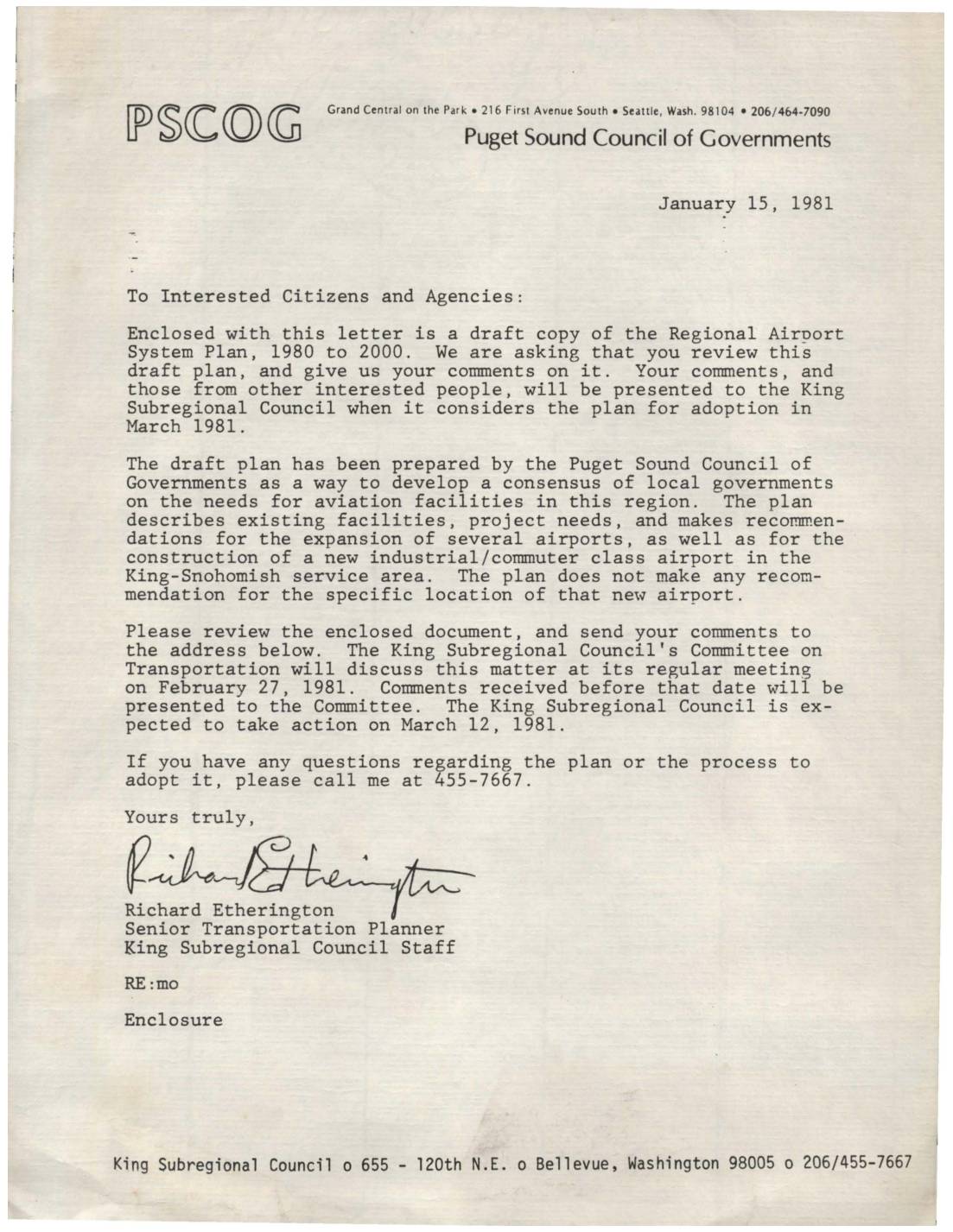
Letter regarding draft Regional Airport System Plan, 1980 to 2000
A January 1981 letter from the Puget Sound Council of Governments invites citizens and agencies to review a draft Regional Airport System Plan covering 1980 to 2000, which outlines existing aviation facilities, projected needs, and recommendations for expanding several airports in the region. The plan also calls for construction of a new industrial/commuter airport in the King-Snohomish service area, though no specific site is identified. Public comments were due before February 27, 1981, with the King Subregional Council expected to vote on adoption in March 1981. -
 1981-01-01
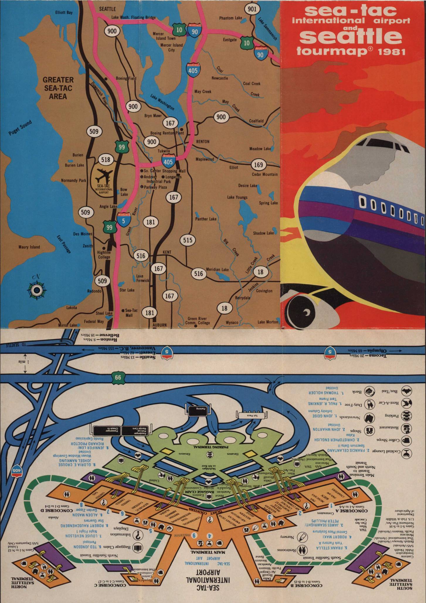
Sea-Tac International Airport and Seattle tourmap 1981
This 1981 Sea-Tac International Airport and Seattle Tourmap provides a comprehensive guide for air travelers, featuring detailed maps of the Greater Sea-Tac area, a terminal layout showing concourses, gates, and passenger services, and a visitor's map of downtown Seattle. The document includes practical airport information such as emergency phone numbers, baggage claim procedures, parking details, and descriptions of on-site amenities including restaurants, a satellite transit system, and chaplain services. While primarily a travel and navigation guide, it offers a snapshot of the airport's physical layout and operational environment during the early 1980s. -
 1981-01-01
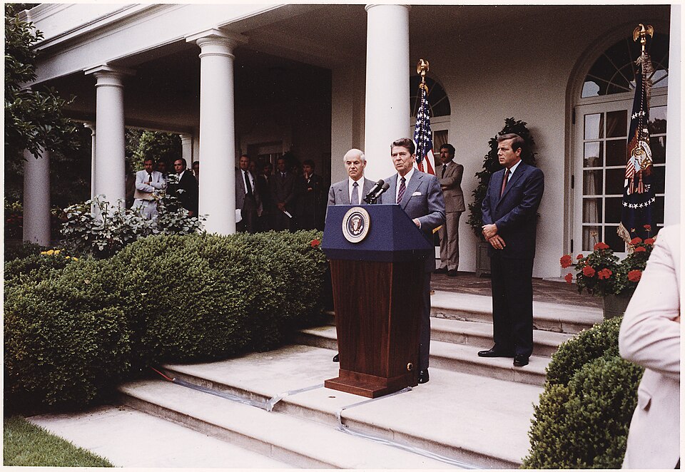
President Reagan making remarks on the air traffic controllers strike, Rose Garden
A speaker addresses reporters from a podium bearing the Presidential Seal in the White House Rose Garden, flanked by two officials in suits. An American flag and what appears to be a Presidential flag are visible in the background. -
 1981-01-01
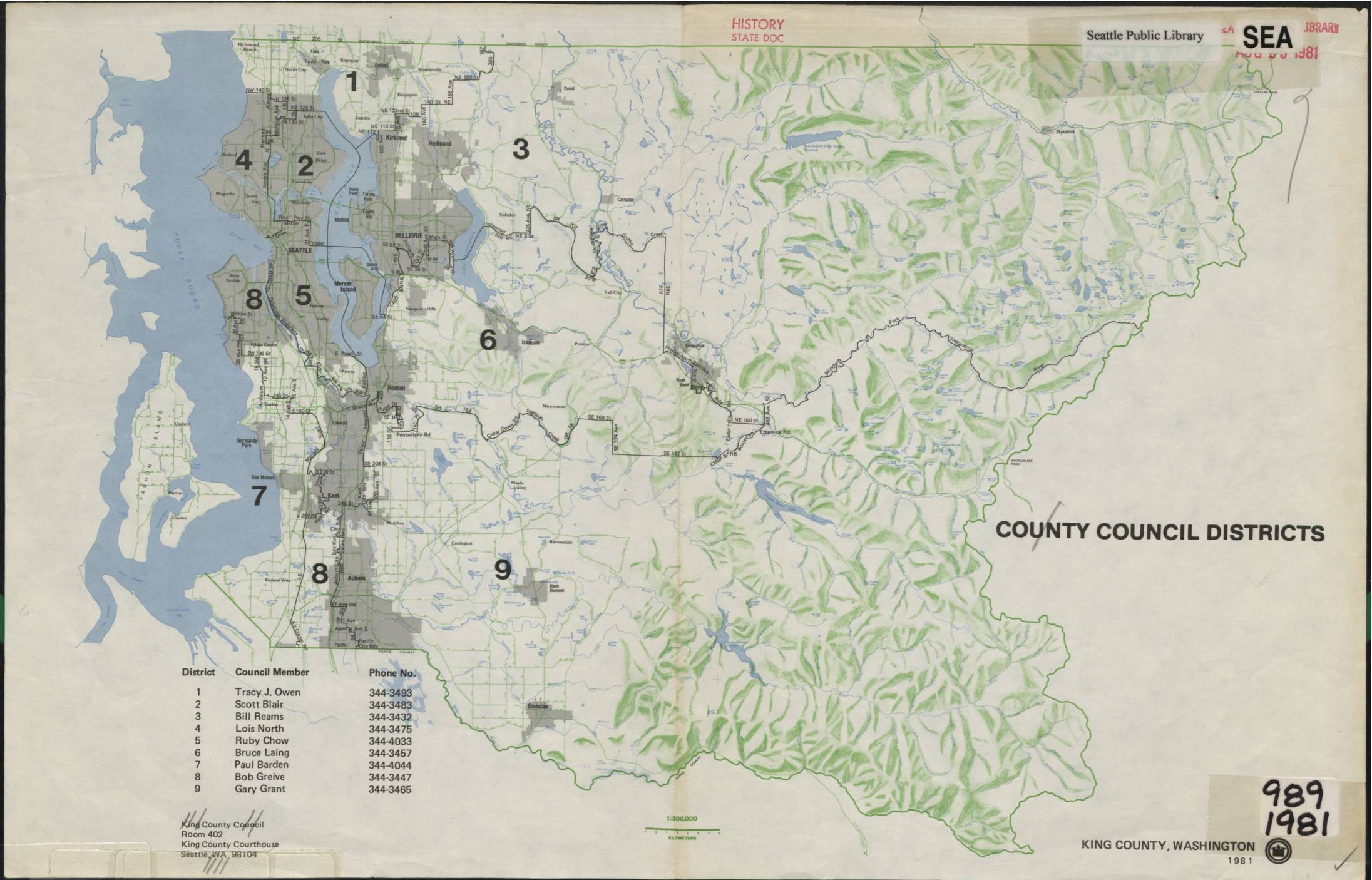
King County Council Districts Map, 1981
This 1981 King County, Washington map depicts the nine County Council Districts, listing each district's representative and contact phone number. Council members included Tracy J. Owen, Scott Blair, Bill Reams, Lois North, Ruby Chow, Bruce Laing, Paul Barden, Bob Greive, and Gary Grant. The map was produced by the King County Council and archived by the Seattle Public Library as a historical state document. -
 1981-01-01
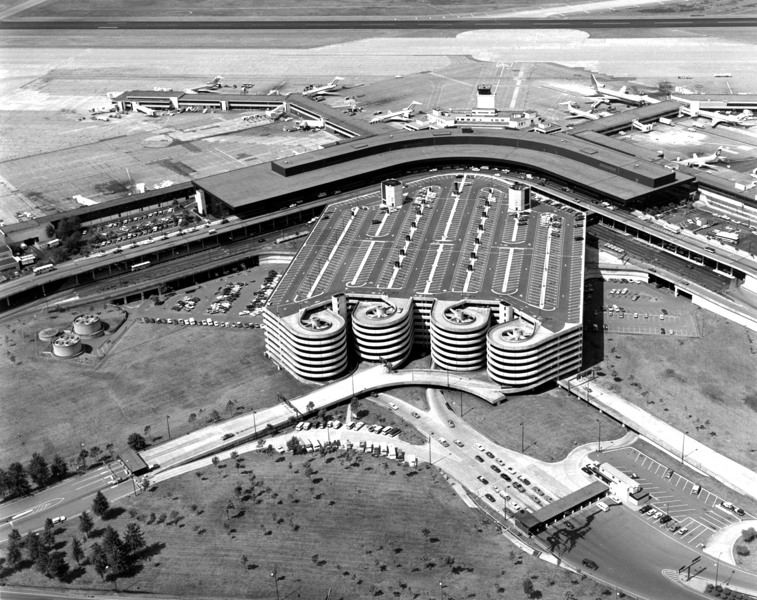
Sea-Tac Aerial July 1981
Black-and-white aerial photograph showing a large airport terminal complex with a curved horseshoe-shaped concourse, multiple jet aircraft at gates, and a distinctive multi-story parking garage featuring cylindrical spiral ramp towers. The image appears to date from the 1960s–1970s based on aircraft types and architectural style visible. -
 1981-01-01
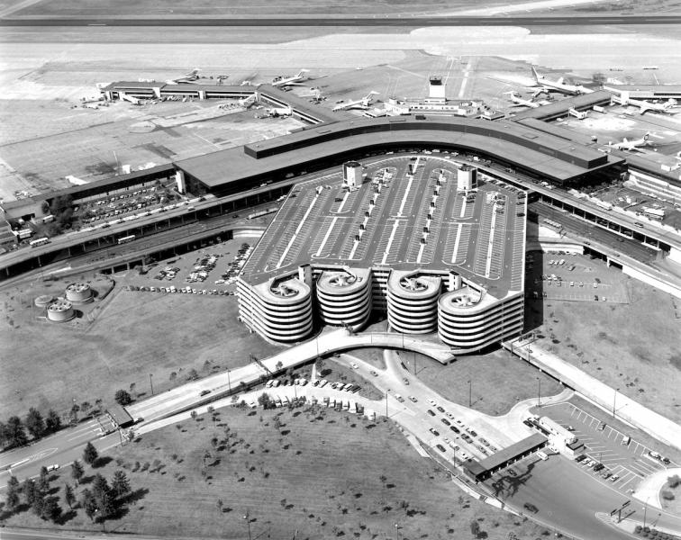
Sea-Tac Parking Lot
Black-and-white aerial photograph showing a large airport terminal building with a curved roofline, multi-level parking garage with circular ramp towers, and numerous propeller and early jet aircraft at gates. No visible text, logos, or captions are present to confirm the specific airport or date. -
 1981-01-01
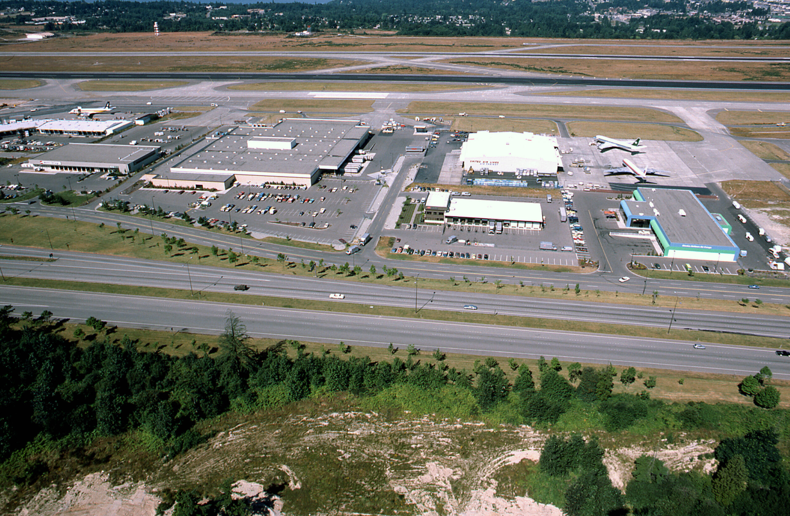
SEA-TAC Aerial w cargo 1981 02
Aerial photograph showing the west side of Seattle-Tacoma International Airport, featuring cargo warehouses, parking lots, and aircraft maintenance ramps. A United Air Lines maintenance hangar is legible near the center-right, and at least two commercial jet aircraft are visible on the apron. A major highway (likely SR-99 or I-5 corridor) runs along the foreground. -
 1980-11-21
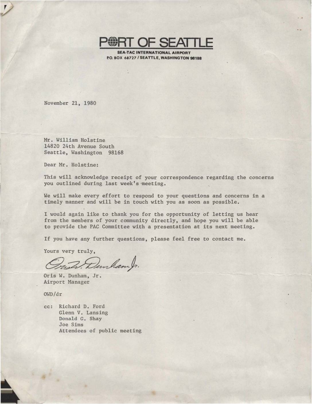
Letter from Port Of Seattle Airport Manager to William Holstine
In this November 21, 1980 letter, Sea-Tac International Airport Manager Oris W. Dunham, Jr. acknowledges receipt of correspondence from community member William Holstine regarding concerns raised at a recent public meeting. Dunham promises a timely response to Holstine's questions and invites him to present to the PAC (Public Advisory) Committee at its next meeting. The letter reflects the airport's efforts to engage with neighboring community members over airport-related concerns, likely related to noise policy.