TagSea-Tac Airport(1835)
-
 2021-02-16
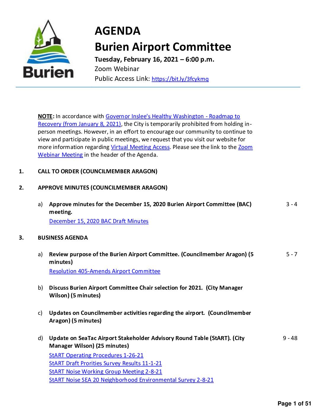
Burien Airport Committee agenda, February 16, 2021
The Burien Airport Committee held a virtual meeting on February 16, 2021, to discuss topics including the committee's purpose, chair selection for 2021, and updates on the SeaTac Airport Stakeholder Advisory Round Table (StART), a body focused on airport noise and community impact issues. The agenda also covered federal airport-related legislation, recruitment of new committee members, and selection of StART representatives, following the December 2020 resignations of several committee members amid disagreements over the committee's direction. Draft minutes from the December 15, 2020 meeting were presented for approval, documenting a committee vote to send a letter to the Port of Seattle regarding a 250-degree flight turn affecting Burien neighborhoods. -
 2021-02-01
2020 StART Annual Report
The 2020 StART Annual Report documents the work of the SEA Stakeholder Advisory Round Table, a group that fosters cooperation between the Port of Seattle and communities surrounding Seattle-Tacoma International Airport. The report covers 2020 meeting outcomes, accomplishments, and the activities of two working groups focused on aviation noise and federal policy, while also addressing how COVID-19 impacted operations. It concludes with recommendations for enhanced community engagement and priorities heading into 2021. -
 2021-01-22
Lora Lake Apartments site construction as-built report
This January 2021 report documents the as-built construction details of the Lora Lake Apartments Site, a project managed by the Port of Seattle's Aviation Environmental Programs at Seattle-Tacoma International Airport. Prepared by engineering firm Floyd|Snider, it captures the completed state of construction work at the site, which is located near the airport and subject to aviation noise considerations. The report was prepared under the supervision of licensed Professional Engineer Megan King and is intended for use by the Port of Seattle and relevant regulatory agencies. -
 2021-01-14
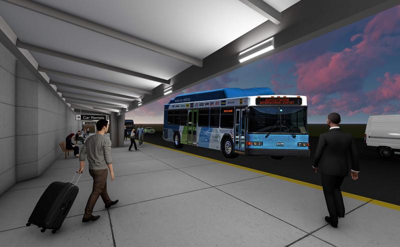
Sea-Tac Airport Arrivals Bus Canopy Expansion Rendering (January 2021)
A rendered illustration of the Seattle-Tacoma International Airport ground transportation area, showing a blue transit bus with a destination sign reading 'Seattle-Tacoma International Airport' and a 'Car Rentals' directional sign. The scene depicts passengers with luggage at a covered bus platform, consistent with a planning or noise-policy document related to Sea-Tac Airport facilities. -
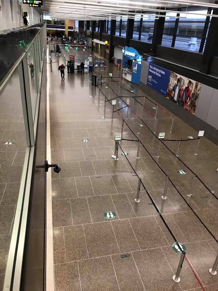
Empty Terminal During COVID Pandemic 12/21/2020
An elevated view of a largely deserted airport terminal check-in area, with stanchion queue lanes and green social distancing floor markers visible. A blue Delta Air Lines advertisement reading 'This is Bringing Home Memories Status.' is visible on the right wall, and an O2 sign is visible in the background, suggesting this may be Seattle-Tacoma International Airport during the COVID-19 pandemic period. -
 2021-01-07
Stantec: Post-Report Update from the Technical Advisory Committee
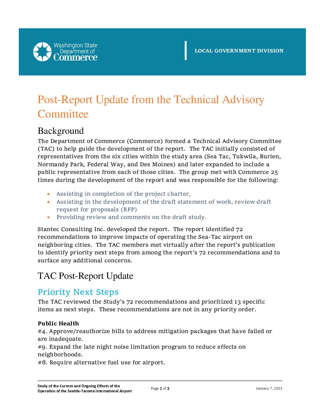
Washington State Department of Commerce Technical Advisory Committee (TAC) post-report update dated January 7, 2021, summarizing priority next steps from the Stantec-developed 72-recommendation study on current and ongoing effects of Seattle-Tacoma International Airport operations on neighboring cities (Sea Tac, Tukwila, Burien, Normandy Park, Federal Way, Des Moines). TAC prioritized 13 recommendations across Public Health, Air -
 2021-01-01
SEA Stakeholder Advisory Round Table 2021 update
The SEA Stakeholder Advisory Round Table (StART) is a forum established by the Port of Seattle in early 2018 to facilitate information sharing between the airport and surrounding communities on issues related to Seattle-Tacoma International Airport. Developed in consultation with Highline Forum member cities, StART also involves Alaska Airlines, Delta Air Lines, and the FAA. This 2021 update, presented by Port of Seattle staff, recaps the group's meetings and ongoing efforts to address airport community concerns. -
 2021-01-01
2021 federal legislative priorities
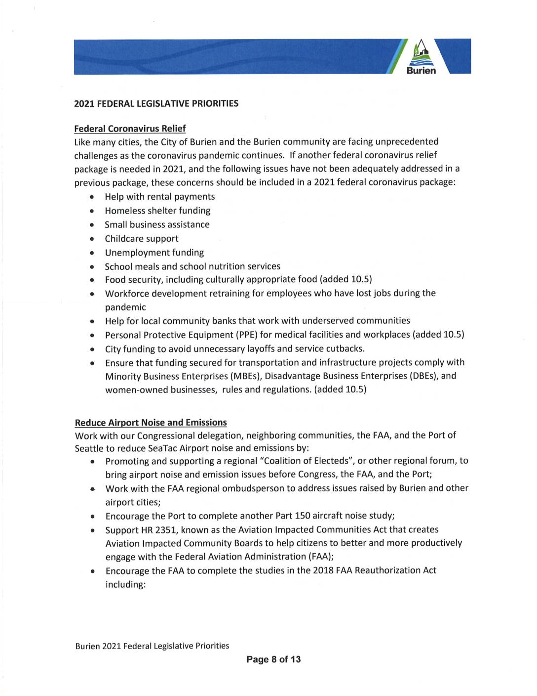
The City of Burien's 2021 Federal Legislative Priorities outline the city's goals for reducing SeaTac Airport noise and emissions, including supporting a regional coalition of elected officials, encouraging the FAA to complete health and environmental studies mandated by the 2018 FAA Reauthorization Act, and backing legislation such as the Aviation Impacted Communities Act. Burien also calls for re-examining the DNL 65 noise standard and increasing funding for airport emission reduction projects. These priorities reflect the city's ongoing efforts to protect residents from the impacts of airport operations while pursuing mitigation funding tied to the Sustainable Airport Master Plan. -
 2021-01-01
Healthy Air, Healthy Schools study executive summary
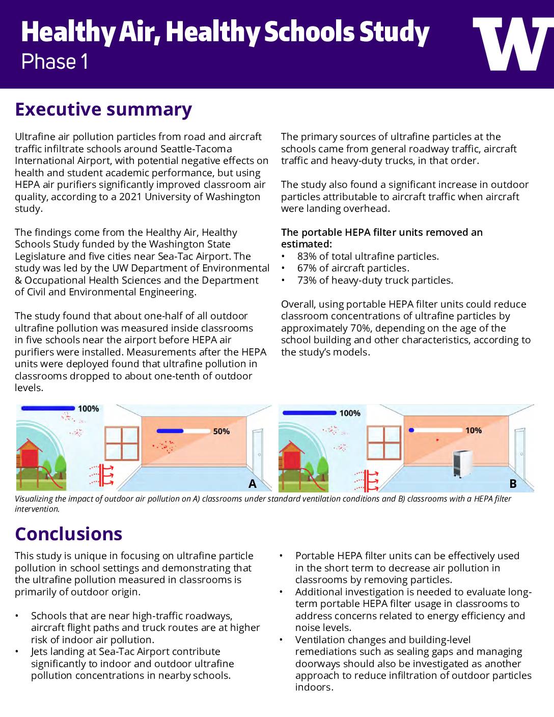
A 2021 University of Washington study found that ultrafine air pollution particles from road and aircraft traffic near Seattle-Tacoma International Airport were infiltrating nearby school classrooms, with indoor levels reaching roughly half of outdoor concentrations before any intervention. Installing portable HEPA air purifiers reduced classroom ultrafine particle levels to about one-tenth of outdoor levels, cutting overall particle concentrations by an estimated 70%. A follow-up Phase 2 study is now underway in 30 Washington schools to examine longer-term air quality improvements and their effects on student health and academic performance. -
 2020-12-21
Airfield Simulation Modeling History and Summary: Sustainable Airport Master Plan, Seattle-Tacoma International Airport
LeighFisher memorandum summarizing airfield simulation modeling conducted for the Port Of Seattle Sustainable Airport Master Plan (SAMP) and follow-on NEPA review at Sea-Tac Airport. Covers TAAM (Total Airport and Airspace Modeller) model development from 2015 through mid-2017, including initial calibration to 2014 activity, FAA-requested recalibration to 2016 activity, maximum sustainable throughput experiments, and revised future-year