TagRunways(144)
-
 2018-09-28
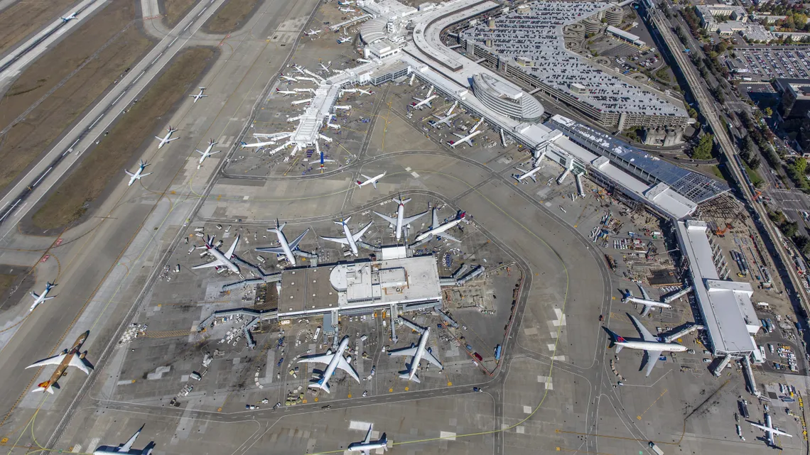
Sea-Tac Airport Aerial View Showing Terminals, Gates, Runways, and Construction Activity
Aerial photograph showing multiple terminal buildings, gates with commercial aircraft from various airlines including what appears to be Delta (red tail livery visible), taxiways, and parallel runways. Construction activity is visible near one terminal area, and large parking structures are visible at upper right. -
 2018-09-28
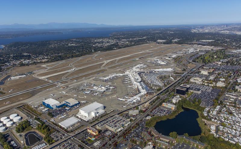
Sea-Tac Airport Aerial View with Runways, Concourses, and Puget Sound
Aerial photograph of Seattle-Tacoma International Airport (SEA/KSEA) in SeaTac, Washington, showing the main terminal complex, concourses with aircraft at gates, parallel runways, and surrounding urban areas. Puget Sound and the Seattle skyline are visible in the background, consistent with the airport's location between Seattle and Tacoma. -
 2018-07-19
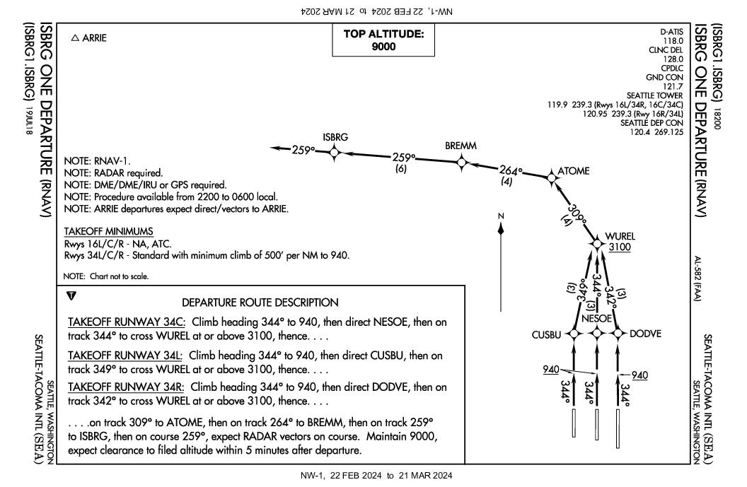
ISBRG One Departure (RNAV) Standard Instrument Departure Chart, Seattle-Tacoma International Airport
The ISBRG One Departure is an RNAV instrument departure procedure at Seattle-Tacoma International Airport (SEA) available only between 10 PM and 6 AM local time, designed to route departing aircraft on specific northwestward flight paths. Aircraft departing runways 34L, 34C, and 34R follow assigned headings and waypoints—climbing to 940 feet, then proceeding through fixes such as WUREL, ATOME, BREMM, and ISBRG—while maintaining a top altitude of 9,000 feet. The procedure's nighttime-only restriction and structured routing reflect noise-abatement considerations for communities surrounding the airport. -
 2018-01-24
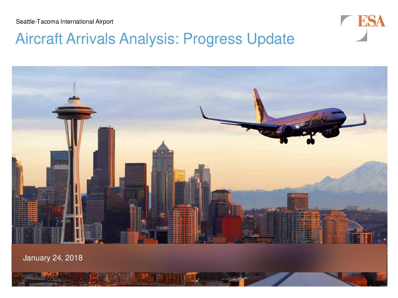
Aircraft arrivals analysis: Progress update
This January 2018 progress update from ESA presents an analysis of aircraft arrivals at Seattle-Tacoma International Airport (SEA), examining whether notable changes occurred between 2013, 2015, and 2017. The study uses radar flight track data from July and December of each year to compare fleet mix, runway usage, and aircraft altitudes at six nautical miles from the airport. Key questions addressed include whether arrival numbers increased, whether traffic flow patterns shifted between north and south flow, and whether arriving aircraft were flying at different altitudes over the study period. -
 2018-01-01
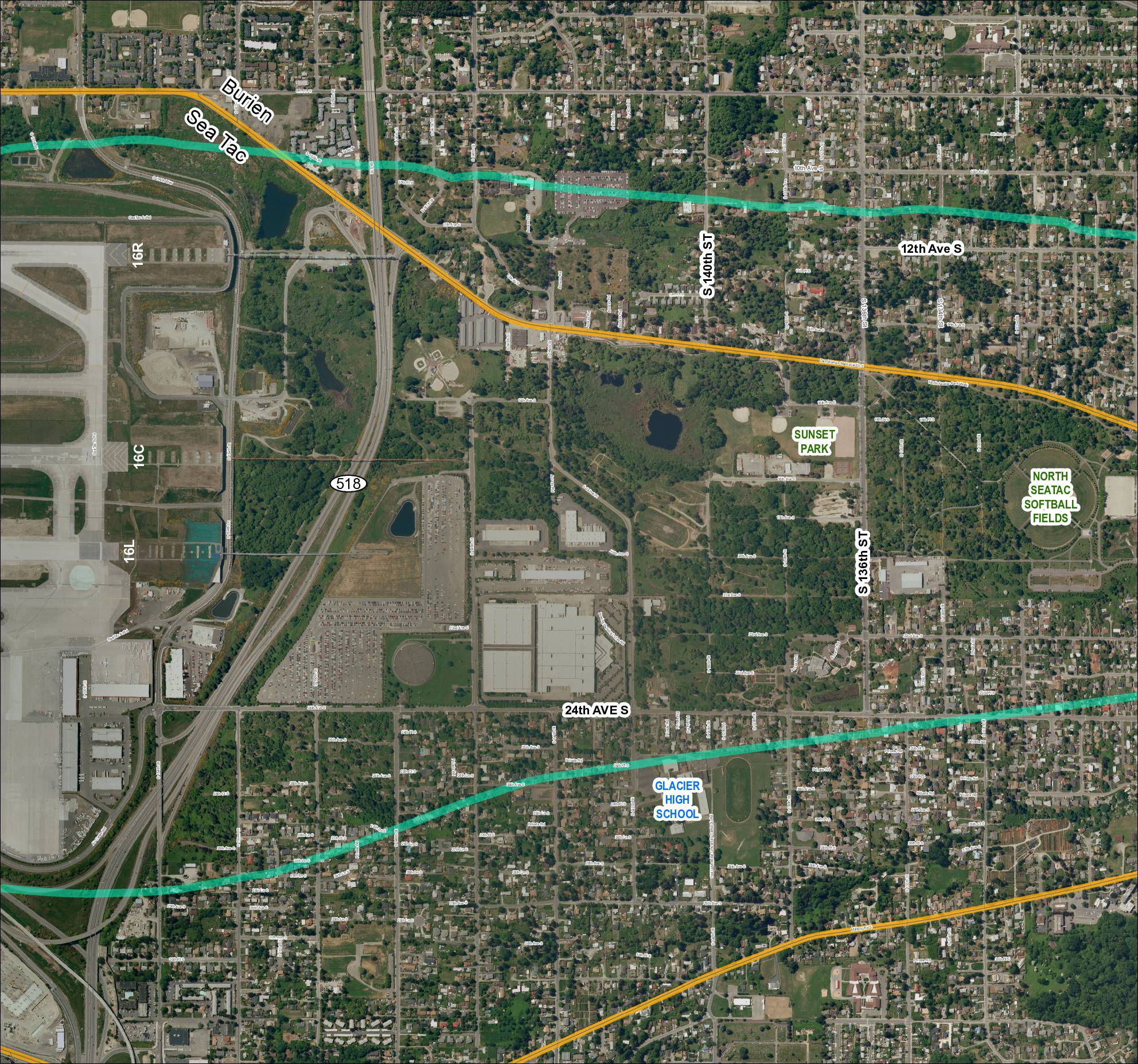
Grid 4 (2018): Aerial Map of Sea-Tac Area Including Glacier High School, Sunset Park, and North Sea-Tac Softball Fields
This map depicts the area surrounding Seattle-Tacoma International Airport, showing the airport's runway layout (including runways 16R, 16C, and 16L) alongside nearby neighborhoods in Burien and SeaTac. Two overlaid flight-path or noise-contour corridors (shown in teal/green and gold) arc across the surrounding residential and parkland areas, illustrating the geographic extent of aircraft noise impact. Notable landmarks within the affected area include Glacier High School, Sunset Park, and the North SeaTac Softball Fields, highlighting the communities exposed to airport-related noise. -
 2018-01-01
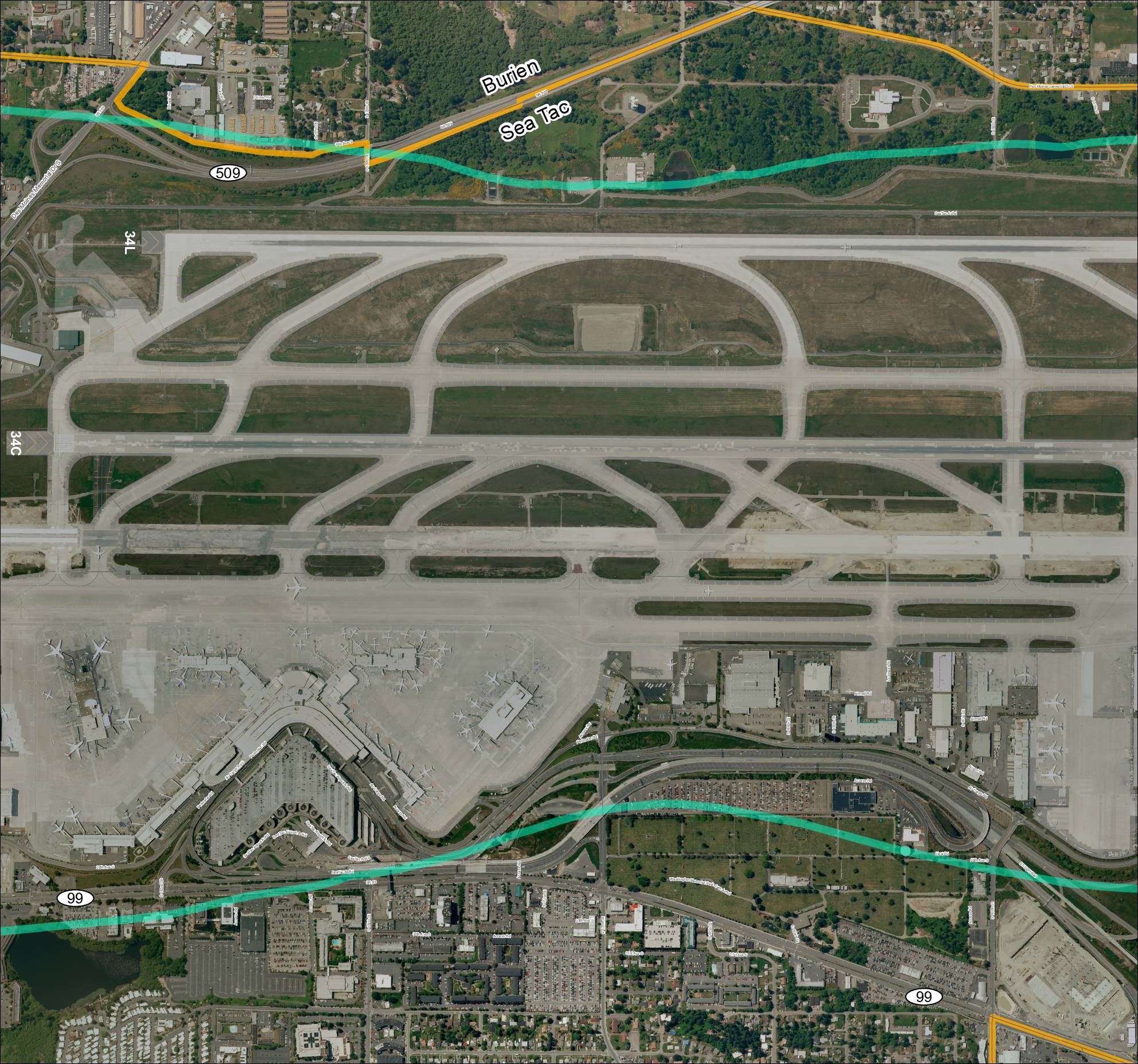
Grid 3: Sea-Tac Airport Aerial Map
This aerial map depicts Seattle-Tacoma International Airport (Sea-Tac) and its surrounding communities of Burien and SeaTac, showing the airport's runway layout including runways 34L and 34C, along with the local road network and key routes such as SR 99 and SR 509. The map highlights the ST Light Rail corridor and major access roads serving the airport, providing geographic context for understanding flight paths and noise exposure areas in the region. It serves as a reference for analyzing the relationship between airport operations and the residential and commercial areas situated beneath approach and departure corridors. -
 2015-08-17
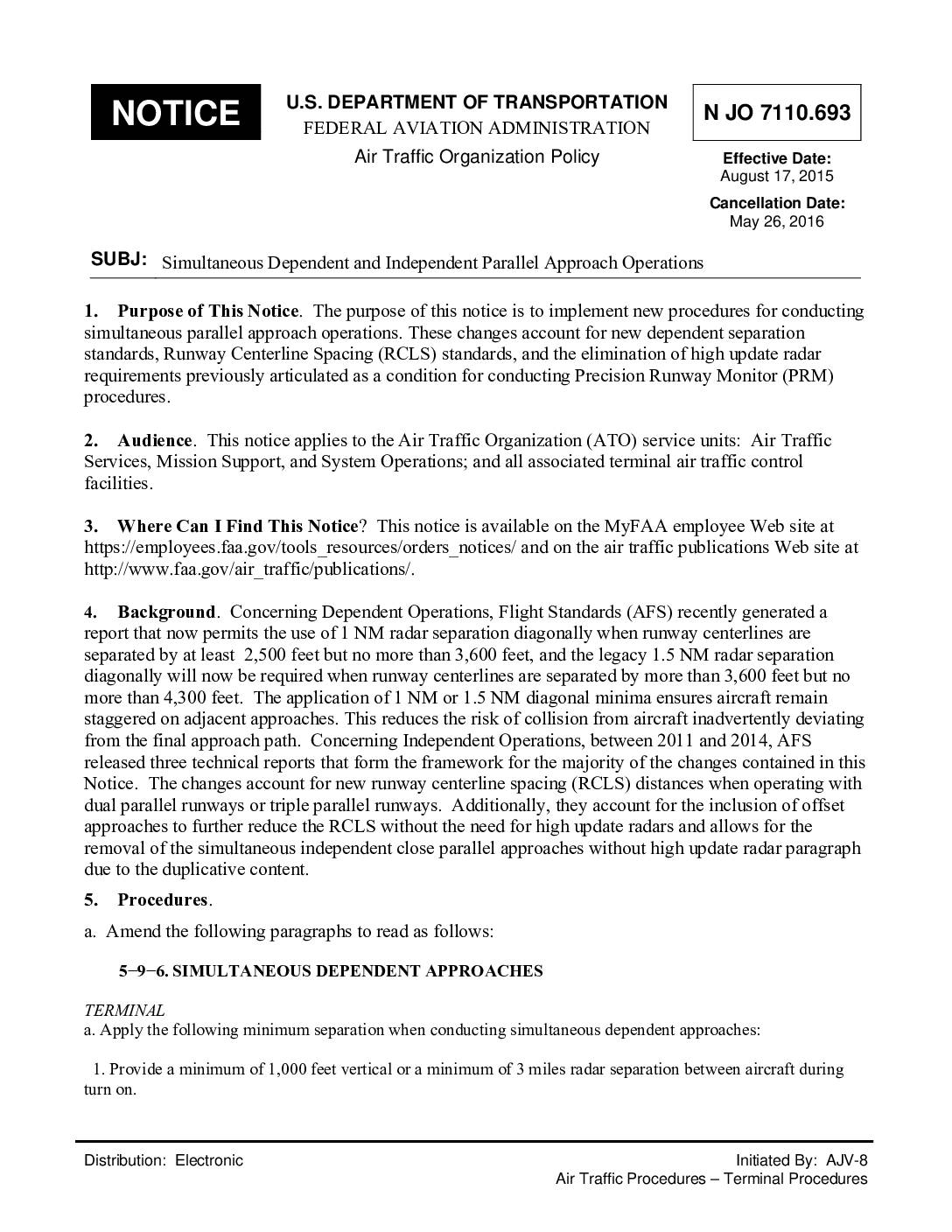
JO7110.693 Simultaneous dependent and independent parallel approach operations
This FAA notice (effective August 2015) updates the rules for how air traffic controllers manage aircraft making simultaneous approaches to parallel runways. It introduces new diagonal radar separation distances between aircraft based on how far apart the runway centerlines are, ranging from 1 mile of separation for runways 2,500–3,600 feet apart to 2 miles for runways 4,301–9,000 feet apart. While focused on controller procedures rather than noise policy directly, these standards govern how closely aircraft can be spaced during parallel runway approaches, which is relevant to arrival patterns affecting communities near airports like Sea-Tac. -
 2014-06-15
Airport Key Map: Sea-Tac Airport Property Zones
★ 32This Airport Key Map, published by the Port of Seattle on June 15, 2014, provides a general reference overview of property zones surrounding Seattle-Tacoma International Airport. It identifies distinct areas including the Airfield, Terminal, Commercial, South of Airfield, South of 200th, and North of Airfield zones, and distinguishes between Port of Seattle property, lease boundaries, non-Port property, land available for redevelopment, and the proposed SR 509 corridor. The aerial photo, taken in Spring 2012, is intended for general reference only and is not approved for navigation use. -
 2012-05-01
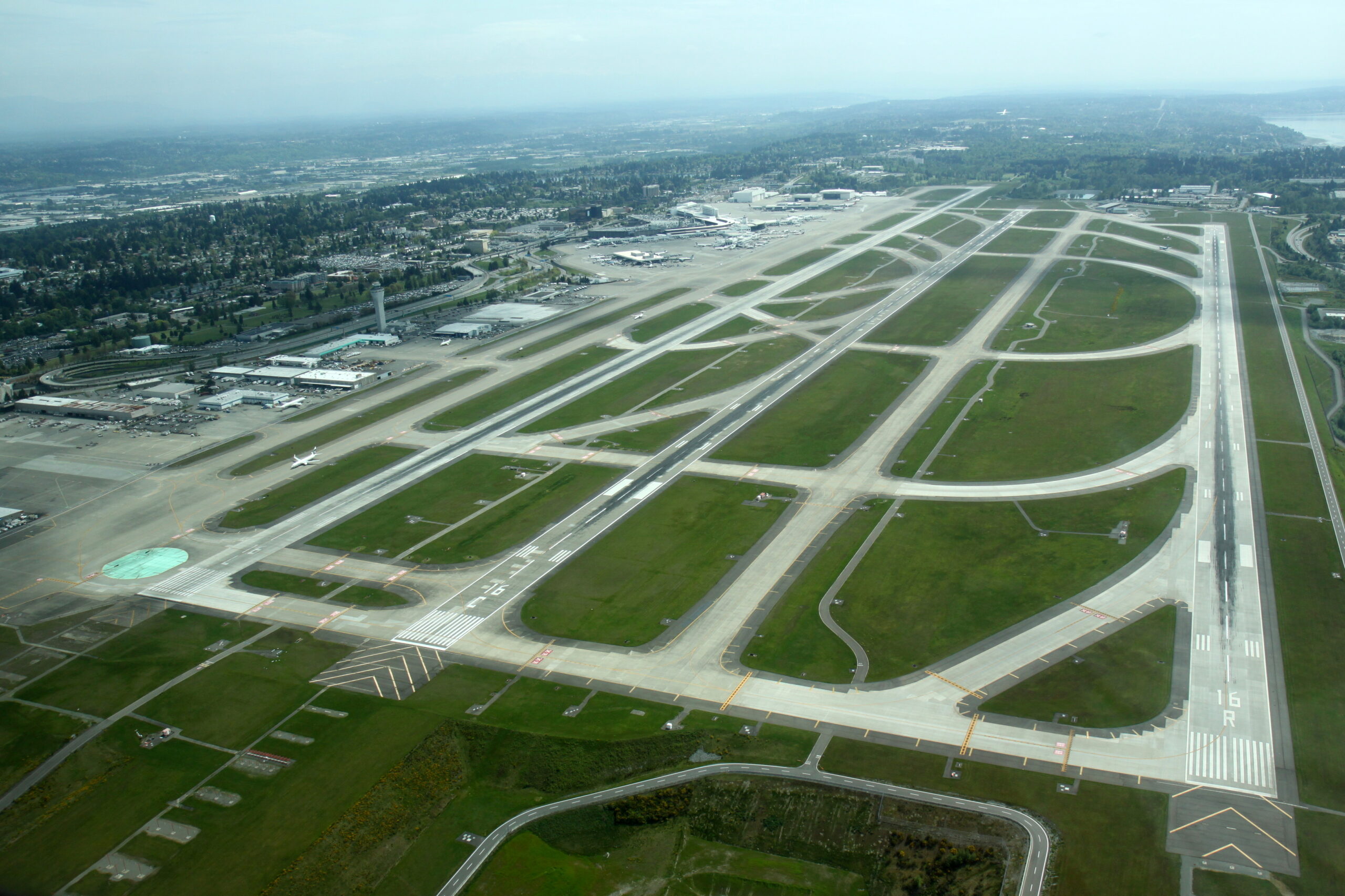
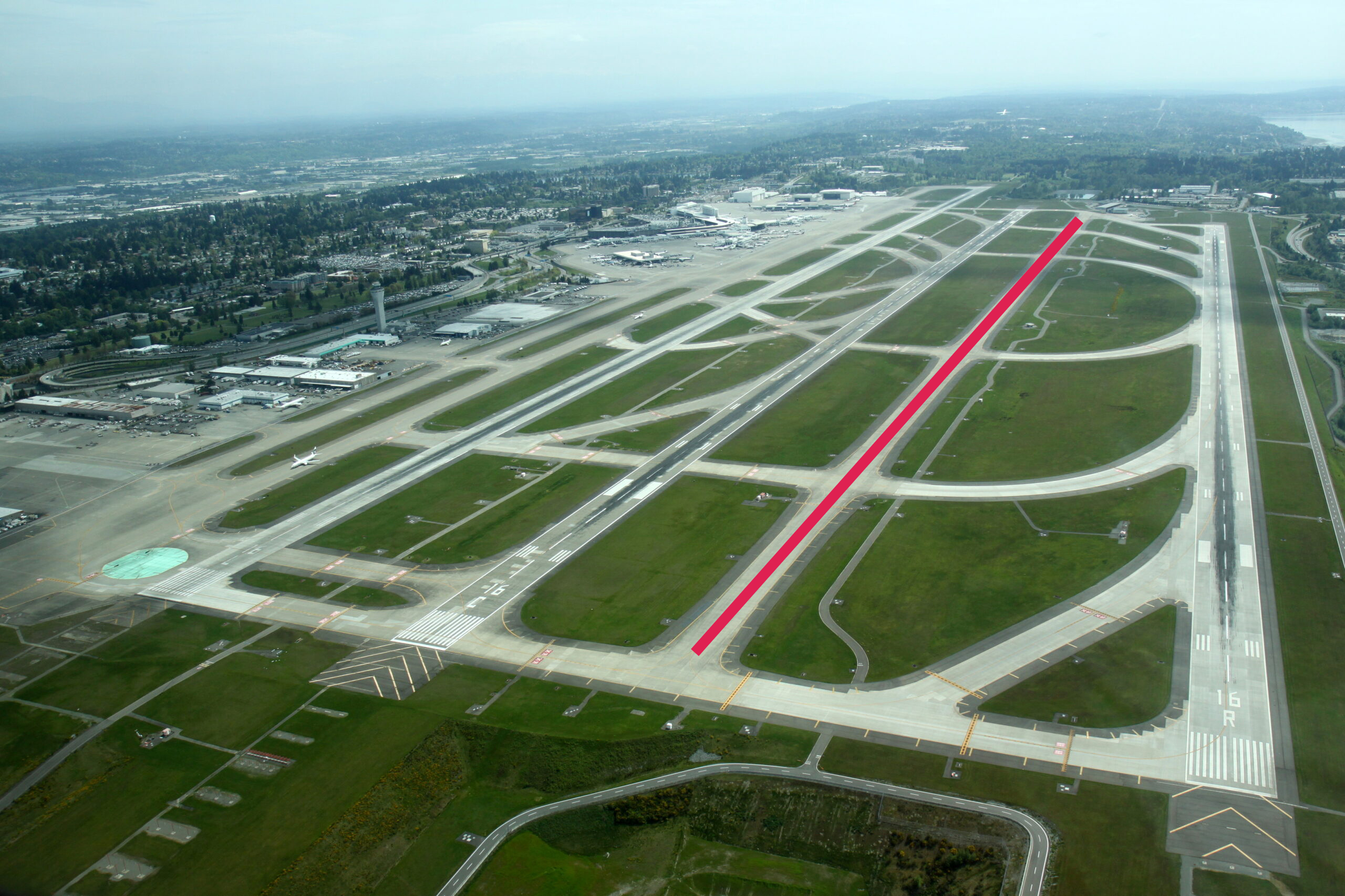
Sea-Tac Airport Aerial View of Parallel Runways, May 2012
Aerial photograph looking northward over Seattle-Tacoma International Airport showing the parallel runway complex. Runway designation '16R' is clearly visible in white paint on the rightmost runway threshold, consistent with SEA-TAC's three north-south parallel runways (16L/34R, 16C/34C, 16R/34L), with the main terminal and concourses visible in the upper left background. -
 2012-05-01
Sea-Tac Airport Parallel Runway Complex Aerial, May 2012
Aerial photograph of Seattle-Tacoma International Airport showing the parallel runway complex, with runway designation '16R' visible in the lower right. A red line is overlaid on what appears to be a taxiway or runway segment between the center and east runways, likely marking a specific infrastructure element for noise-policy or planning documentation purposes.