TagRunways(144)
-
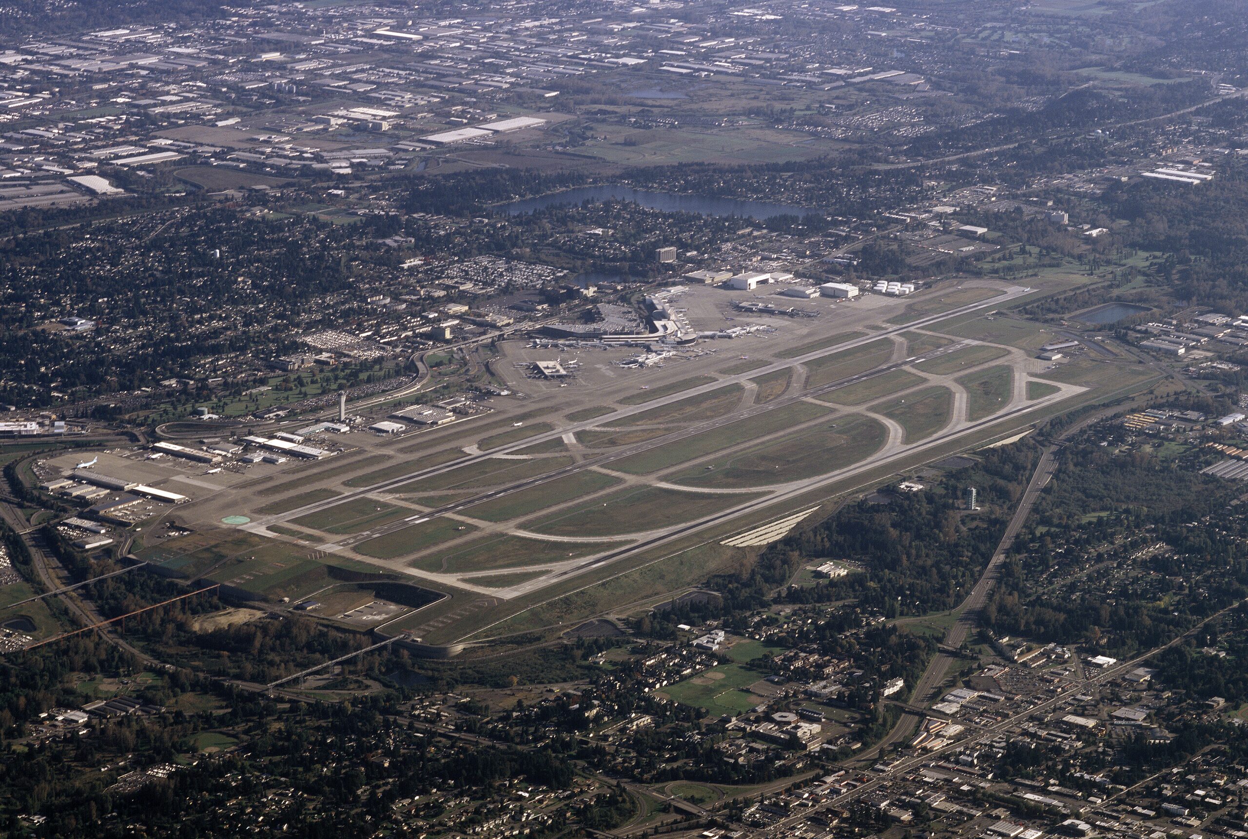 2010-10-17
Aerial view of Sea-Tac Airport from 8000 ft over West Seattle October, 17 2010
Aerial photograph of Seattle-Tacoma International Airport (Sea-Tac) showing its parallel runway configuration, terminal complex, and concourses, surrounded by the dense suburban development of the SeaTac/Tukwila area in Washington State. The image clearly depicts the airport's distinctive dual-runway layout and main terminal facilities as seen from an aircraft departing or arriving to the north. -
 2008-11-20
Third runway an ‘environmental success story’
Healthy streams, new wildlife habitat add a green dimension to infrastructure project By MARK REIS Seattle-Tacoma International Airport Mark Reis From 10 miles aloft, an airport is a beacon to a pilot. But as the pilot gets closer, that simple-looking stretch of pavement gives way to the details of a highly complex transportation infrastructure. Seattle-Tacoma -
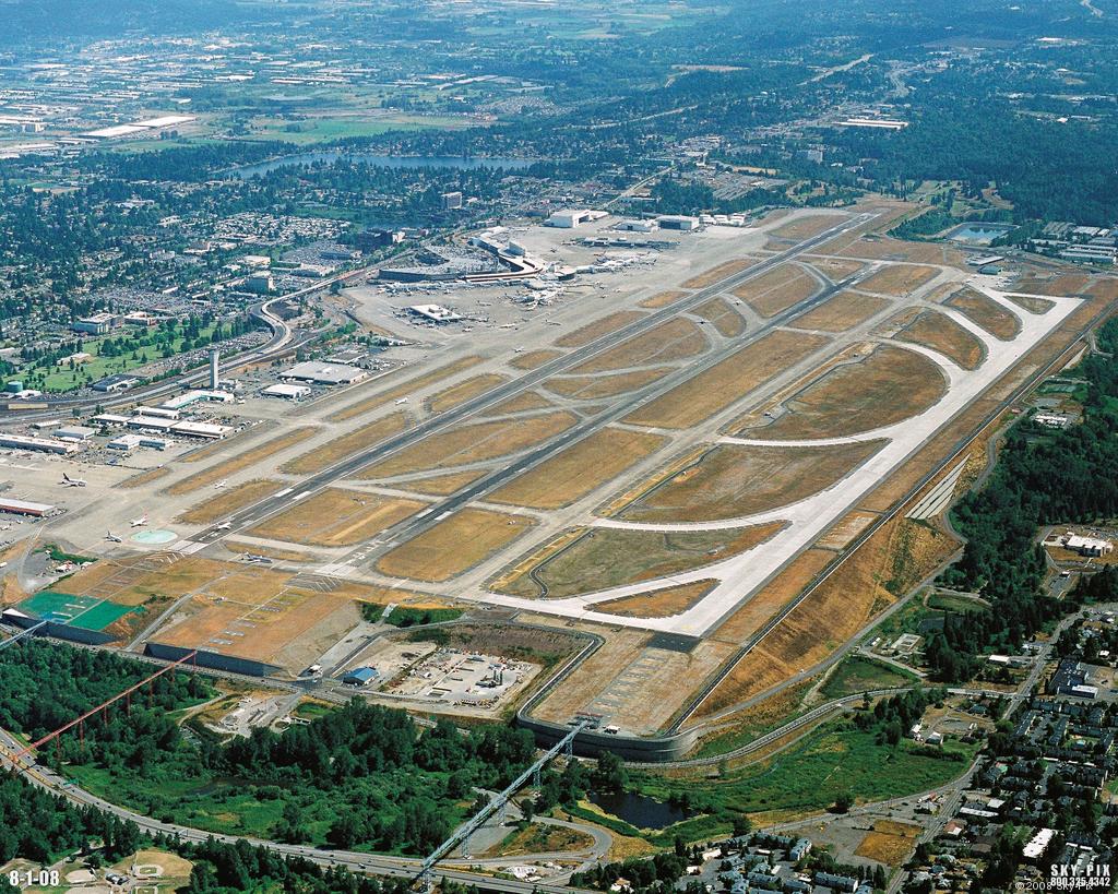 2008-08-01
Sea-Tac Airport Aerial Photo, August 2008
Aerial photograph of Seattle-Tacoma International Airport (Sea-Tac) taken on August 1, 2008, showing the airport's parallel runway configuration, terminal complex, and surrounding communities. Image is watermarked 'SKY-PIX 800.325.4342 © 2008' and dated '8-1-08' in the lower corners. -
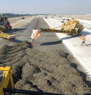 2007-09-13
Pouring concrete for Sea-Tac’s Third Runway, 13 September 2007.
Construction crew operates heavy paving equipment to lay fresh concrete on a wide airfield surface, consistent with runway or taxiway construction or rehabilitation. A worker in an orange hard hat is visible at right; no visible text, logos, or watermarks to identify the specific location, date, or contractor. -
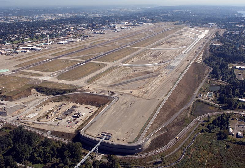 2007-09-10
Aerials of Sea-Tac Airport’s Third Runway construction, 10 September 2007.
Aerial photograph showing the construction of Seattle-Tacoma International Airport's third runway (16C/34C) under development. The image shows the new runway under construction to the east of the existing parallel runways, with surrounding residential and forested areas of the SeaTac/Des Moines area visible. -
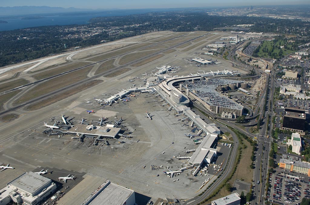 2007-09-10
Aerials of Sea-Tac Airport, 10 September 2007.
Aerial photograph of Seattle-Tacoma International Airport (SEA/KSEA) showing the main terminal complex, satellite concourses, airfield runways, taxiways, and surrounding parking structures. Puget Sound and the Seattle skyline are visible in the background, confirming the geographic location in the south King County area. -
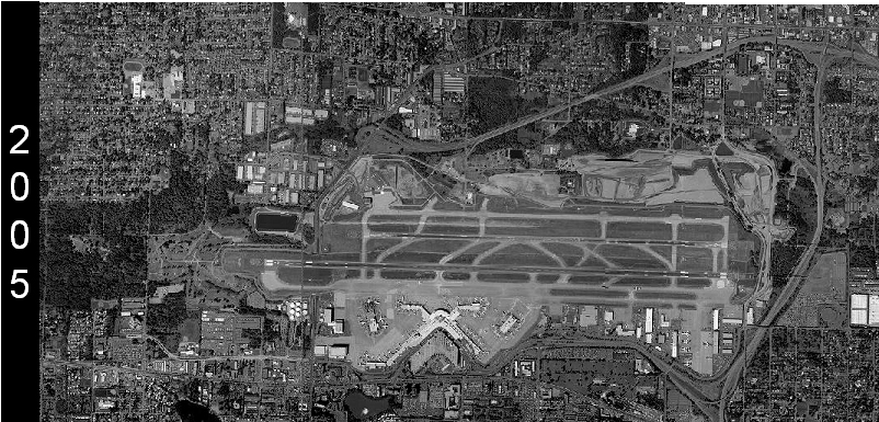 2005-01-01
Sea-Tac Airport Aerial Photograph 2005
Grayscale satellite or aerial photograph of Seattle-Tacoma International Airport (Sea-Tac) dated 2005, as indicated by the year label on the left margin. The image shows the airport's parallel runways, terminal area, and surrounding urban context. -
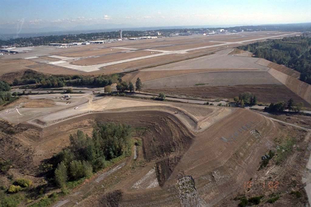 2002-01-01
Sea-Tac Airport Third Runway Embankment Construction Earthwork (2002)
Aerial photograph showing large-scale earthwork and grading operations during construction of Seattle-Tacoma International Airport's third runway (Runway 16C/34C). The image shows the runway surface and surrounding excavated terrain, with the existing airport facilities and control tower visible in the background. -
 2001-08-01
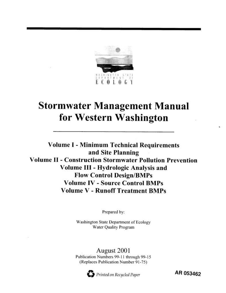
Stormwater Management Manual for Western Washington Cover Page (August 2001)
Cover page of the Stormwater Management Manual for Western Washington, a multi-volume technical document published by a Washington State agency (likely Department of Ecology) in August 2001, covering stormwater technical requirements, construction pollution prevention, hydrology, flow control, and erosion/sediment control best management practices. -
 2001-08-01
Stormwater Management Manual for Western Washington — Cover Page (August 2001)
Cover page of the Washington State Department of Ecology Water Quality Program's Stormwater Management Manual for Western Washington, comprising five volumes covering minimum technical requirements, construction stormwater pollution prevention, hydrologic analysis, source control BMPs, and runoff treatment BMPs. Published August 2001, Publication Numbers 99-11 through 99-15, replacing Publication Number 91-75; document bears archive marking AR 053462.