TagRunways(144)
-
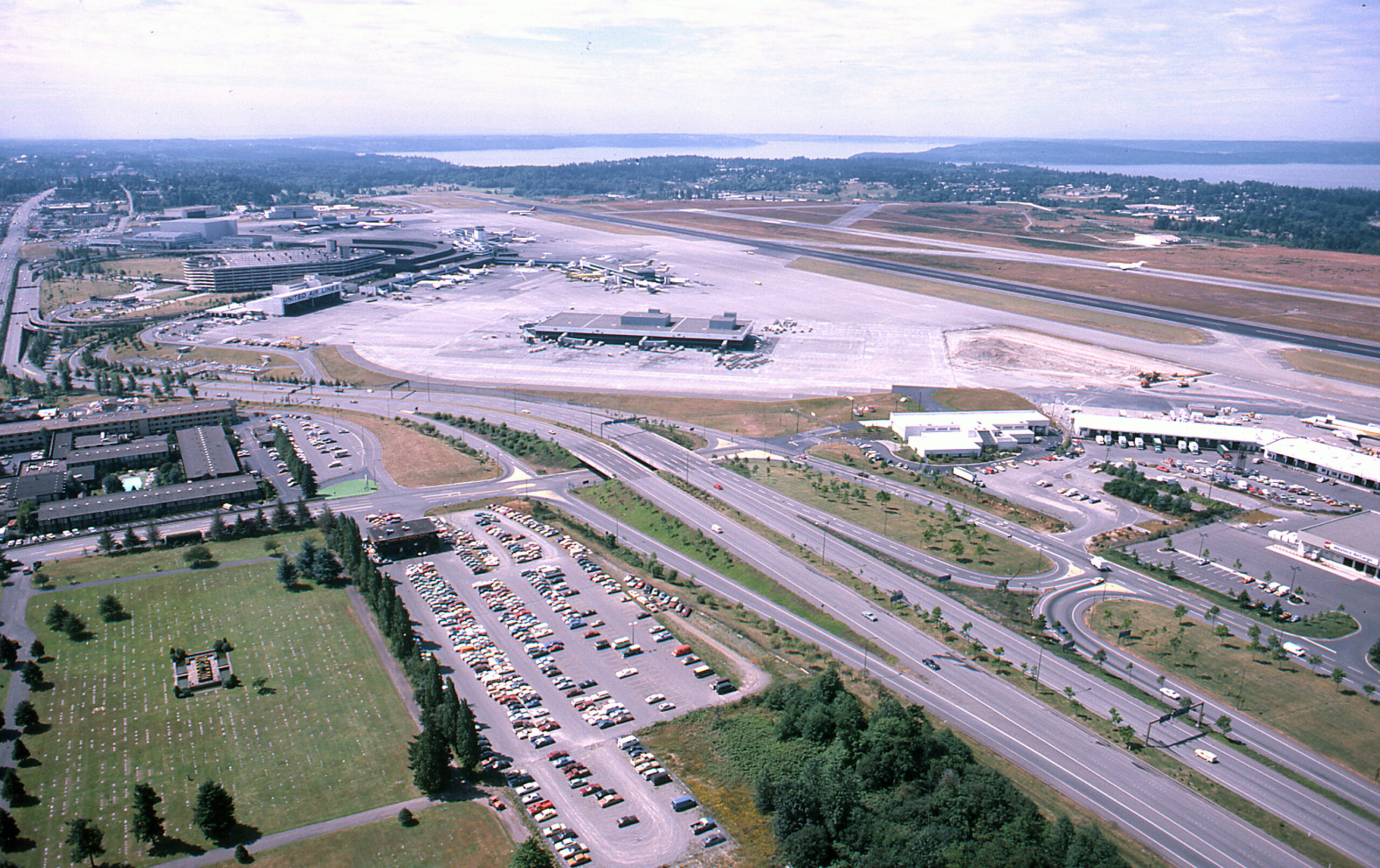
SEA-TAC Aerial w cargo 1981
Aerial photograph looking northward over Sea-Tac Airport showing the main terminal complex, satellite concourses, apron areas, runways, and Puget Sound visible in the background. A large surface parking lot, access roads, and adjacent commercial/hotel buildings are visible in the foreground; vehicle styles and airport layout suggest the photograph dates from the early-to-mid 1970s. -
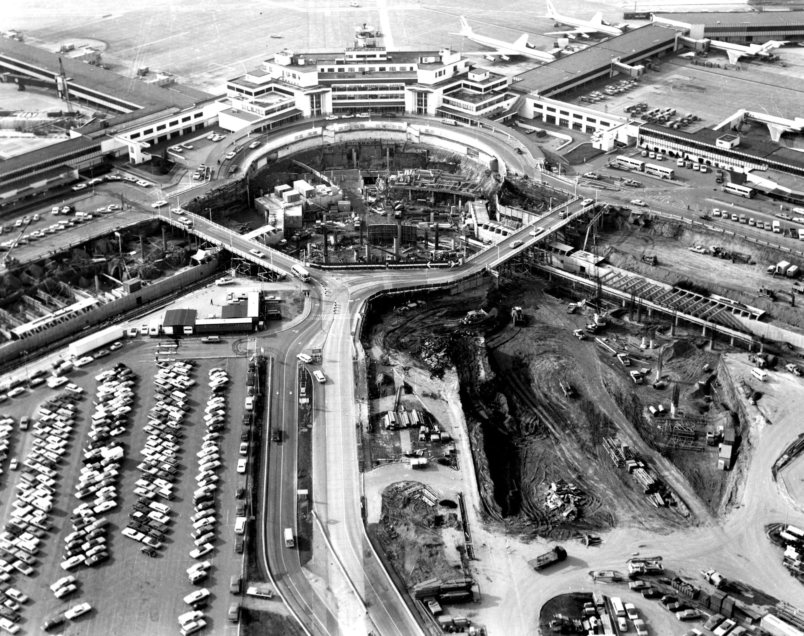
Sea-Tac Airport Aerial View During Terminal Expansion Construction
Black-and-white aerial photograph showing a large airport terminal complex with a distinctive circular roadway/structure under active construction in the foreground. Jet aircraft are visible at gates in the background, and large parking lots and excavation work are visible, suggesting a significant expansion or renovation project. -
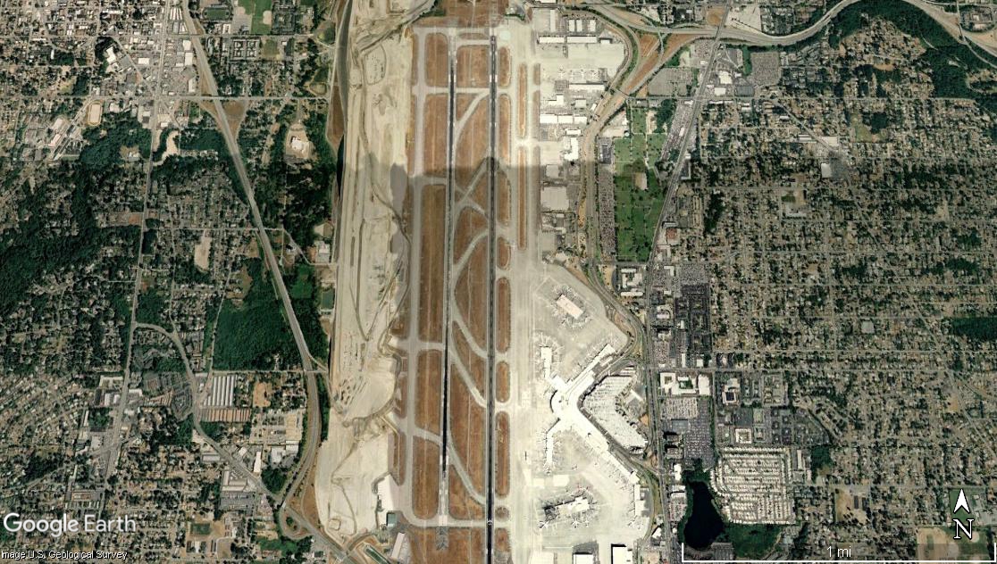
Sea-Tac Airport Satellite View Showing Parallel Runways and Terminal Complex
Google Earth satellite image of Seattle-Tacoma International Airport (Sea-Tac), showing its parallel runway configuration, terminal complex on the east side, and surrounding suburban neighborhoods in King County, Washington. The image is credited to Google Earth and the U.S. Geological Survey, with a scale bar indicating approximately 1 mile. -
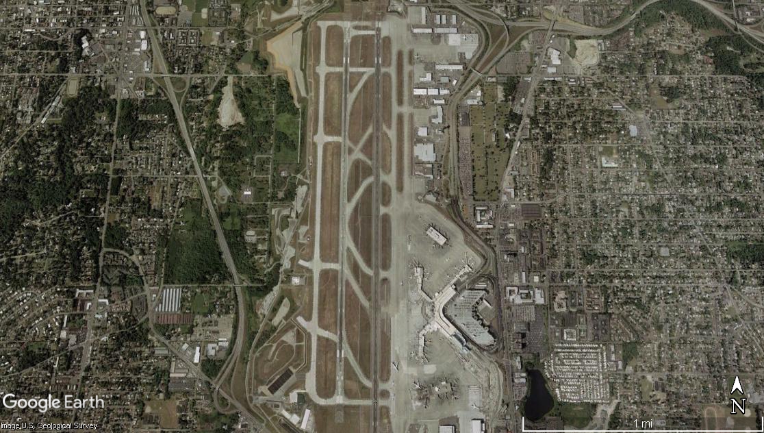
Sea-Tac Airport Two Parallel Runways Satellite View
Google Earth satellite image showing an airport with two parallel runways oriented roughly north-south, surrounded by dense residential and commercial development on all sides. The terminal complex and taxiways are visible on the east side of the runways; a scale bar indicates approximately 1 mile across the image. -
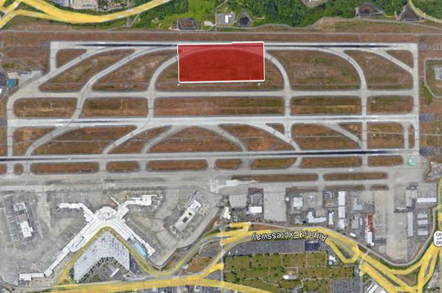
Sea-Tac Airport Third Runway Aerial Overlay
Aerial satellite view of Seattle-Tacoma International Airport (Sea-Tac) showing the runway complex and taxiway system, with a red-highlighted rectangular area marked on one of the runway sections. The Airport Expressway and terminal area are visible in the lower portion of the image. -
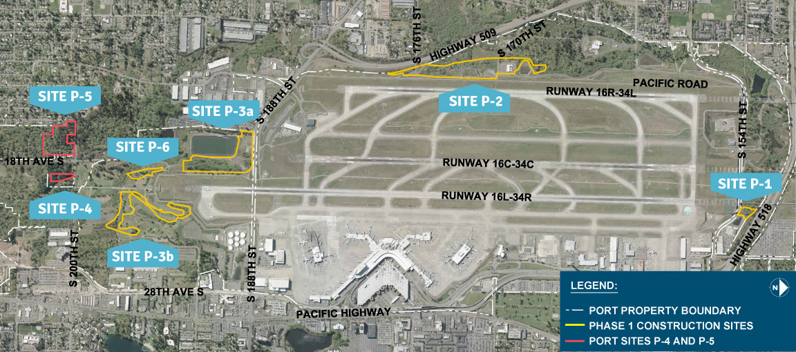
Sea-Tac Airport Vicinity Map With Phase 1 Construction and Port Sites
Aerial map of Seattle-Tacoma International Airport identifying labeled construction and port sites (P-1 through P-6, including P-3a and P-3b) with Phase 1 Construction Sites outlined in yellow and Port Sites P-4 and P-5 outlined in red. The map shows three parallel runways (16R-34L, 16C-34C, 16L-34R), surrounding roads including Highway 509, Highway 518, and Pacific Highway, and the Port Property Boundary marked with a dashed white line. -
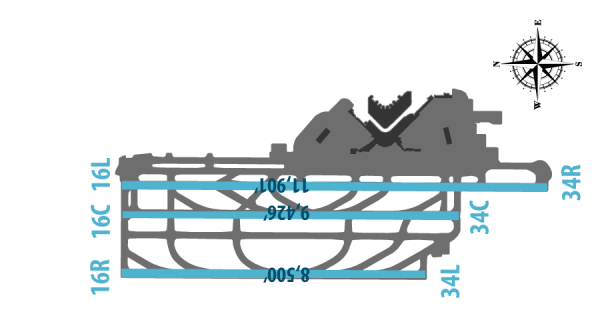
Sea-Tac Airport Three Parallel Runway Diagram
Aerial diagram of Seattle-Tacoma International Airport (Sea-Tac) showing three parallel runway pairs labeled 16L/34R, 16C/34C, and 16R/34L, with runway lengths annotated: 11,901', 9,426', and 8,500' respectively. A compass rose is visible in the upper right corner. -
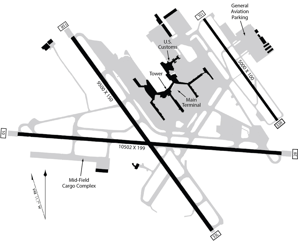
Airport Runway Layout Diagram (For Illustration Purposes Only) — Terminal, Tower, Customs, and Mid-Field Cargo Complex
This is an airport diagram showing multiple runways including one labeled 10502 x 199 feet and another 9500 x 150 feet, with facilities marked including a Main Terminal, U.S. Customs, Tower, Mid-Field Cargo Complex, and General Aviation Parking. Runway end identifiers visible include 10, 28, 15R, 33L, 33R, and 75L, consistent with a large international airport layout, though no airport name or ICAO/IATA code is explicitly shown. -
Center Runway Reconstruction
The Port of Seattle completed reconstruction of the center runway (designated as 16C/34C) at Seattle-Tacoma International Airport in 2015. The runway was originally built in 1969 and had some brief closures during 2016 in order to complete adjoining projects with taxiways and blast pads. The project included installation of a new LED runway lighting system and an -
 2019-06-01
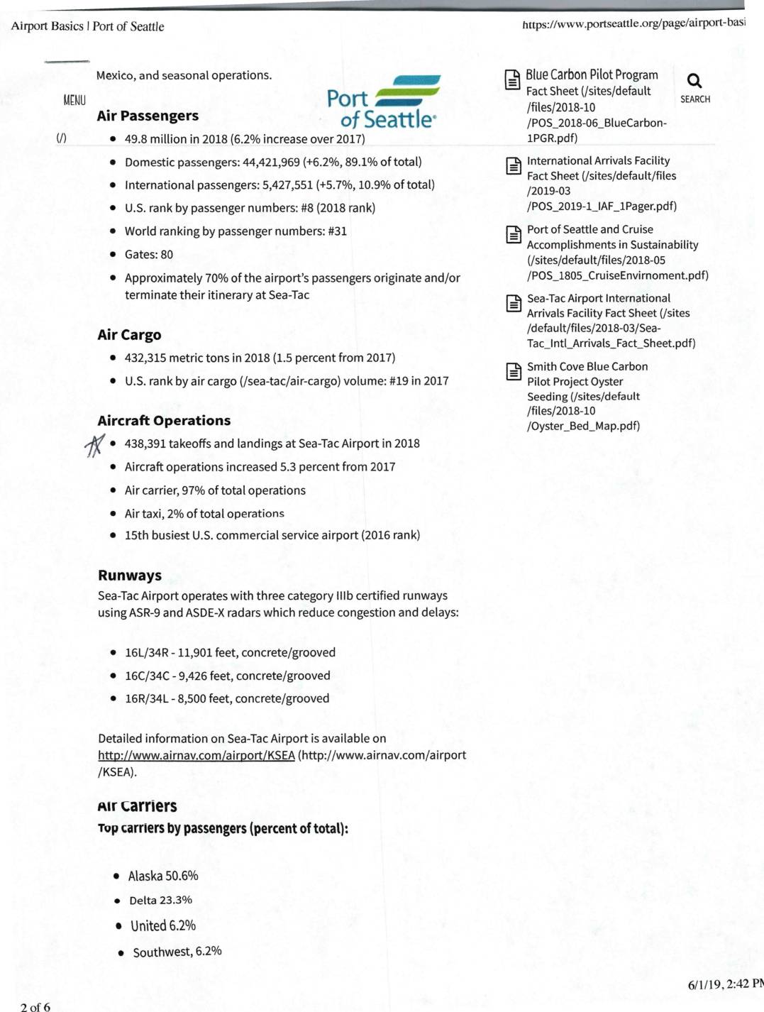
Airport basics | Port Of Seattle
Seattle-Tacoma International Airport handled 49.8 million passengers and 438,391 aircraft operations in 2018, ranking 8th in the U.S. by passenger volume. A noise compatibility study forecasted total annual aircraft operations to grow from approximately 301,870 in 2009 to 399,200 by 2021, driven by increases in both domestic and international air carrier activity. The airport operates three category IIIb certified runways and is dominated by Alaska Airlines, which carries over 50% of its passengers.