TagPort Of Seattle(2349)
-
 2022-10-01
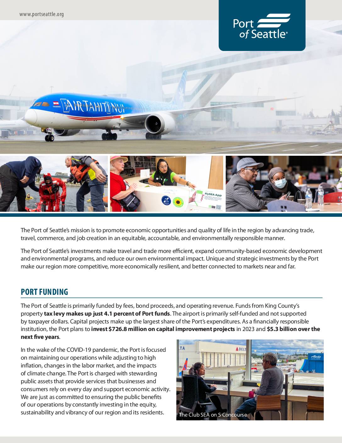
Port of Seattle 2023 budget information one-pager
The Port of Seattle funds its operations primarily through fees, bond proceeds, and operating revenue, with King County property taxes accounting for just 1.2% of all property taxes collected and roughly $78 per year for the median homeowner. The Port's tax levy has historically been directed away from Seattle-Tacoma International Airport itself, instead funding noise mitigation improvements at Highline School District schools near the airport. In 2023, the Port planned to invest $726.8 million in capital projects and $19.1 million across 18 community programs, while managing operating expenses of $573.5 million. -
 2022-09-29
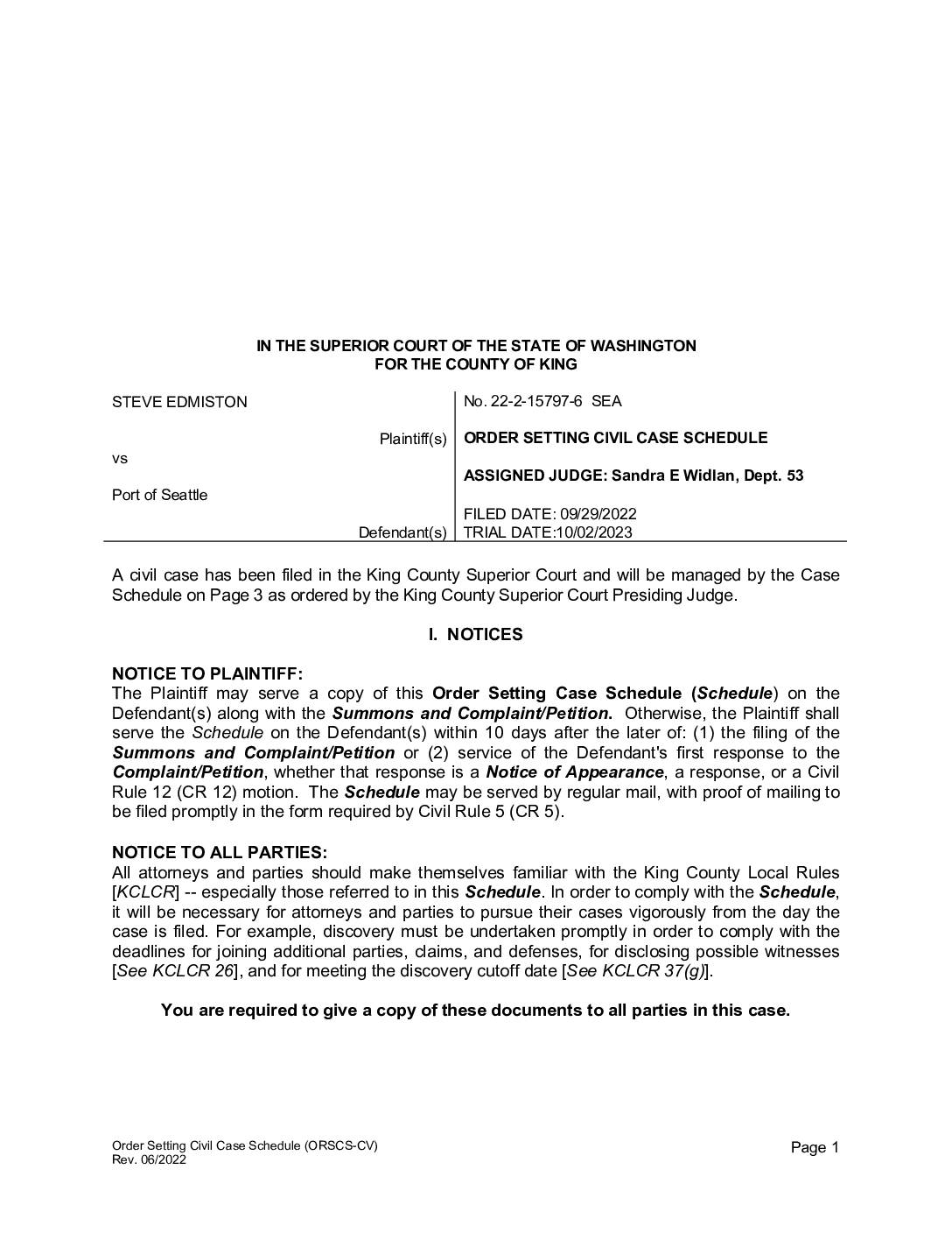
Order Setting Civil Case Schedule: Steve Edmiston v. Port Of Seattle, No. 22-2-15797-6 SEA
This is a King County Superior Court order setting the civil case schedule for Steve Edmiston's lawsuit against the Port of Seattle, filed on September 29, 2022, with a trial date of October 2, 2023. The document outlines key procedural deadlines, including witness disclosure, discovery cutoff, and alternative dispute resolution requirements. Judge Sandra E. Widlan of Department 53 was assigned to oversee the case. -
 2022-09-29
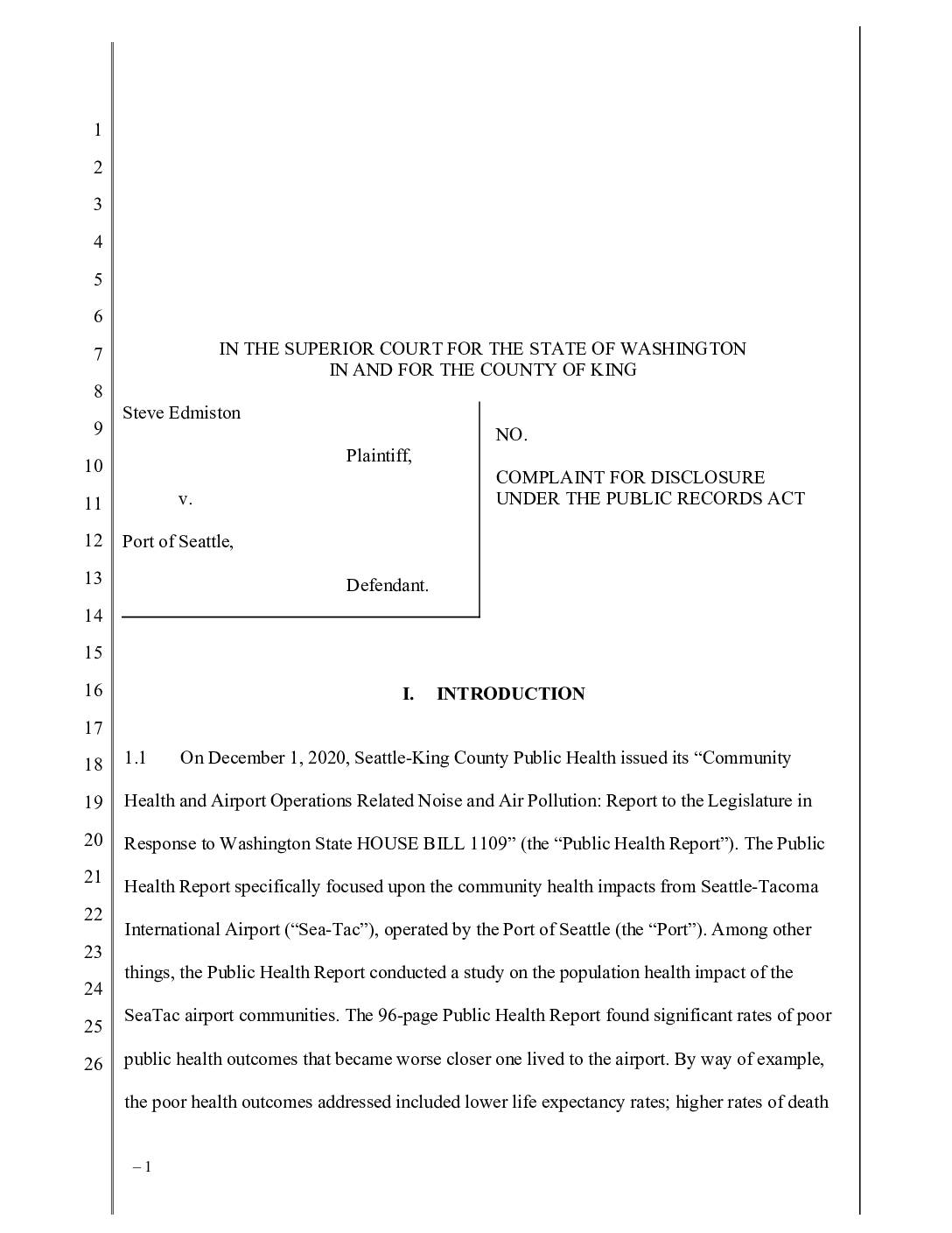
Complaint for Disclosure Under the Public Records Act: Steve Edmiston v. Port Of Seattle
Attorney Steve Edmiston filed a lawsuit against the Port of Seattle, alleging it violated Washington's Public Records Act by heavily redacting a consultant's report (the "Ramboll Report") that assessed a 2020 public health study linking Sea-Tac Airport's noise and air pollution to serious health harms in nearby communities, including lower life expectancy and higher rates of heart disease and premature births. The Ramboll Report, commissioned by the Port days after the public health study was released and shared with the Port's CEO, was intended to evaluate the study's findings and recommendations. Edmiston is seeking court-ordered disclosure of the unredacted documents, along with attorney fees and penalties to deter future violations. -
 2022-09-28
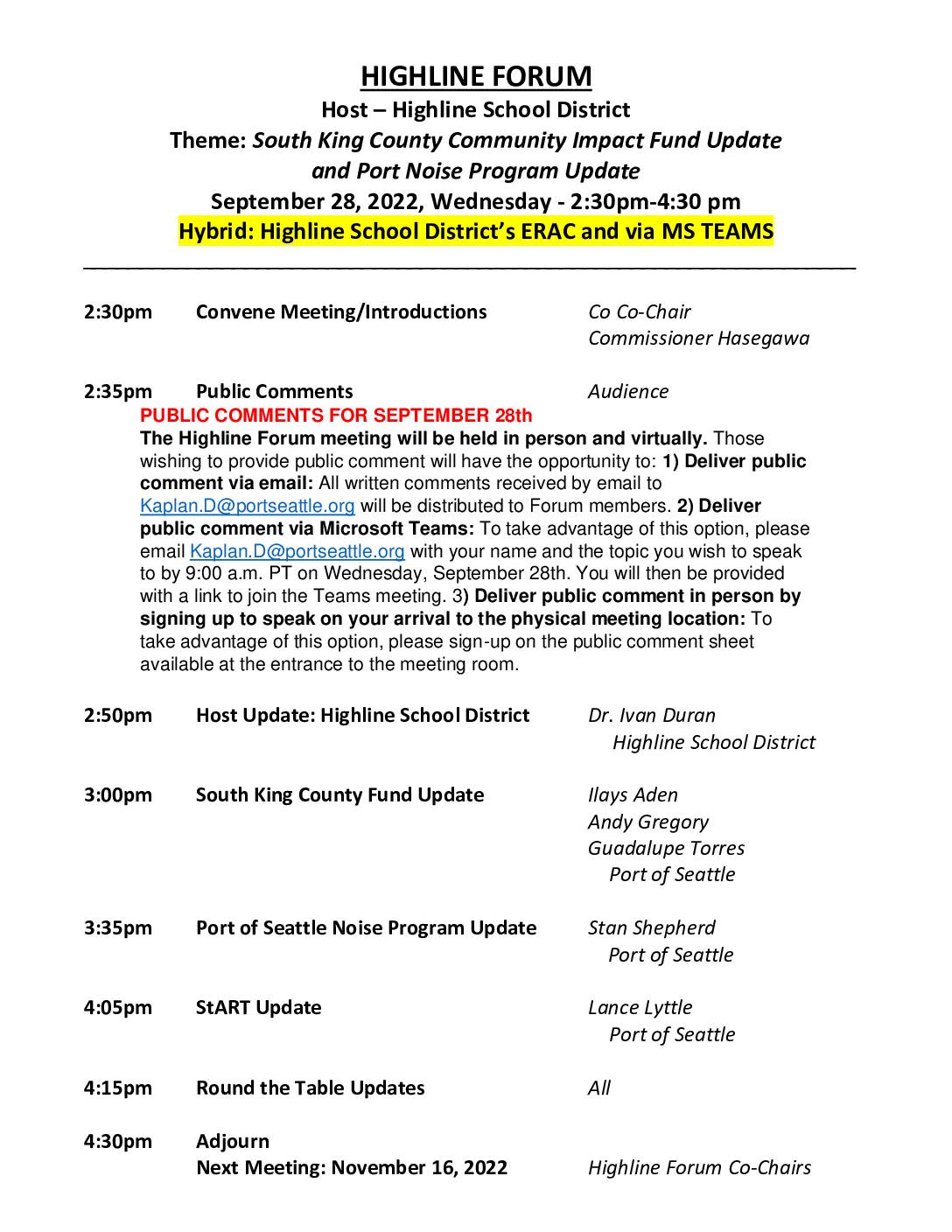
Highline Forum agenda: South King County Community Impact Fund update and Port noise program update
The Highline Forum met on September 28, 2022, hosted by the Highline School District, to discuss two main topics: an update on the South King County Community Impact Fund and an update on the Port of Seattle's noise program. The hybrid meeting, held both in person and via Microsoft Teams, also included a StART update from Port of Seattle's Lance Lyttle and roundtable discussions from community members. This was the fifth of six scheduled 2022 Forum meetings, with the final session set for November 16, 2022, hosted by the City of SeaTac. -
 2022-09-28
South King County Community Impact Fund – Highline Forum presentation
The Port of Seattle's South King County Community Impact Fund, presented at the Highline Forum on September 28, 2022, is a grant program launched in 2020 to build equity-based partnerships with communities near Seattle-Tacoma International Airport. The fund offers three programs—Economic Recovery, Environmental Grants, and WMBE Small Business support—with a focus on engaging and building capacity within BIPOC communities. Multi-year funding options were introduced in the program's second round. -
 2022-09-27
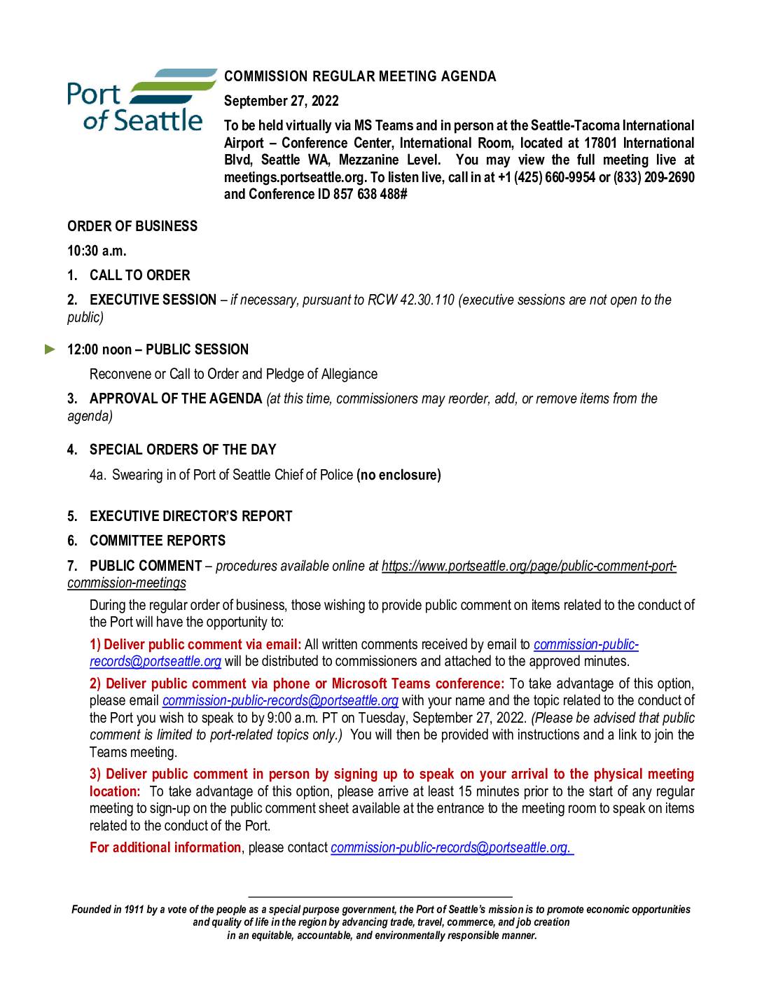
Commission regular meeting agenda, September 27, 2022
This is the agenda for the Port of Seattle Commission Regular Meeting held on September 27, 2022, covering airport operations and administrative matters at Seattle-Tacoma International Airport. Key items include authorizations for airport infrastructure projects such as the Baggage Claim 15 and 16 Replacement Project, the South Concourse Evolution Project, and a 2023 Central Services Preliminary Budget briefing. The meeting does not contain specific noise policy agenda items, but addresses broader airport operational and contractual matters relevant to Sea-Tac Airport management. -
 2022-09-12
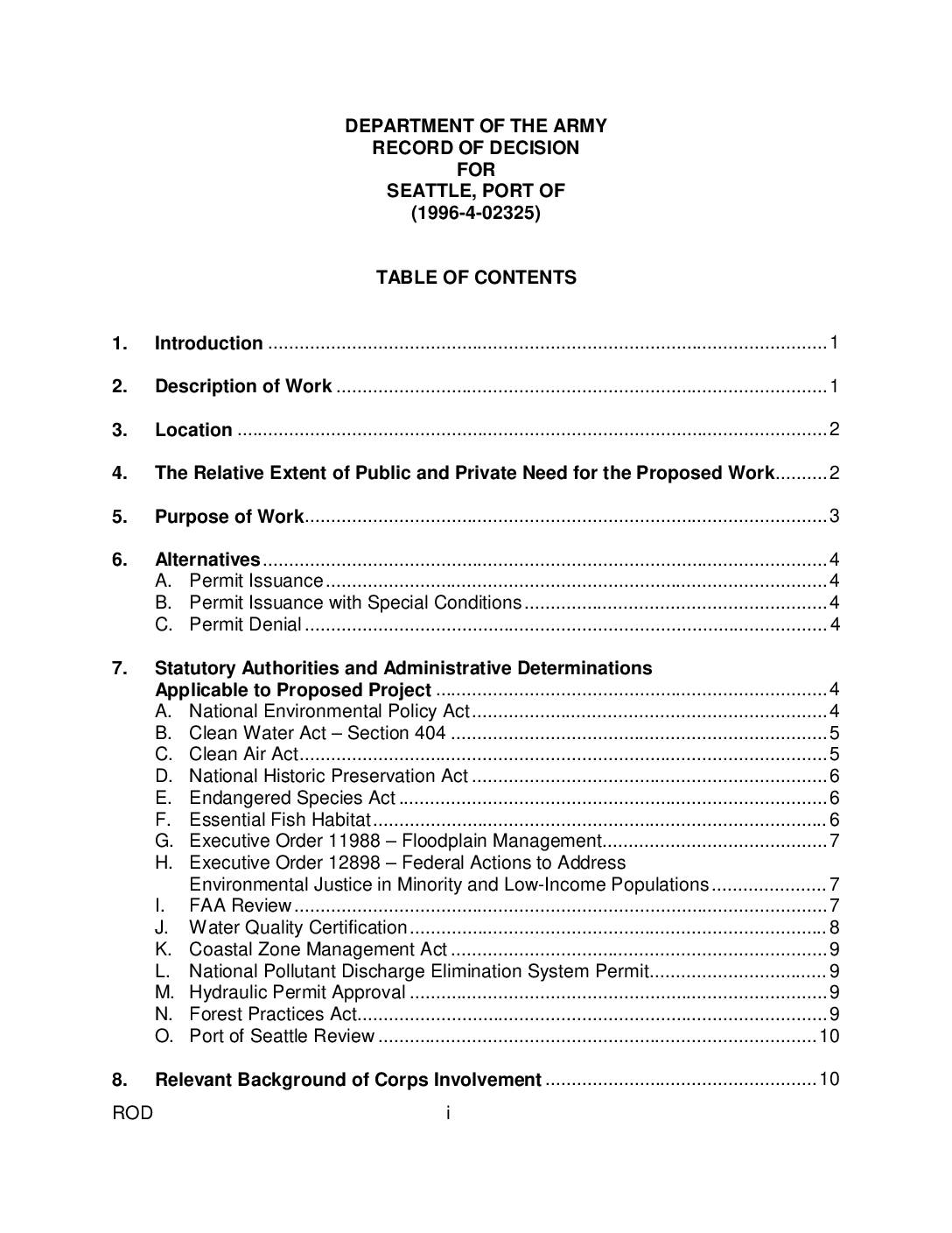
Department of the Army record of decision for Seattle, Port of (1996-4-02325)
This U.S. Army Corps of Engineers Record of Decision evaluates a permit application from the Port of Seattle (case 1996-4-02325) for construction work in the Seattle area, assessing environmental impacts including effects on wetlands, fish habitat, water quality, air quality, and noise. The document reviews compliance with numerous federal and state laws—such as the Clean Water Act, Endangered Species Act, and National Environmental Policy Act—and addresses public and agency concerns, including those related to airport and aircraft safety. It ultimately documents the Corps' findings and determinations regarding whether to issue, conditionally issue, or deny the requested permit. -
 2022-09-12
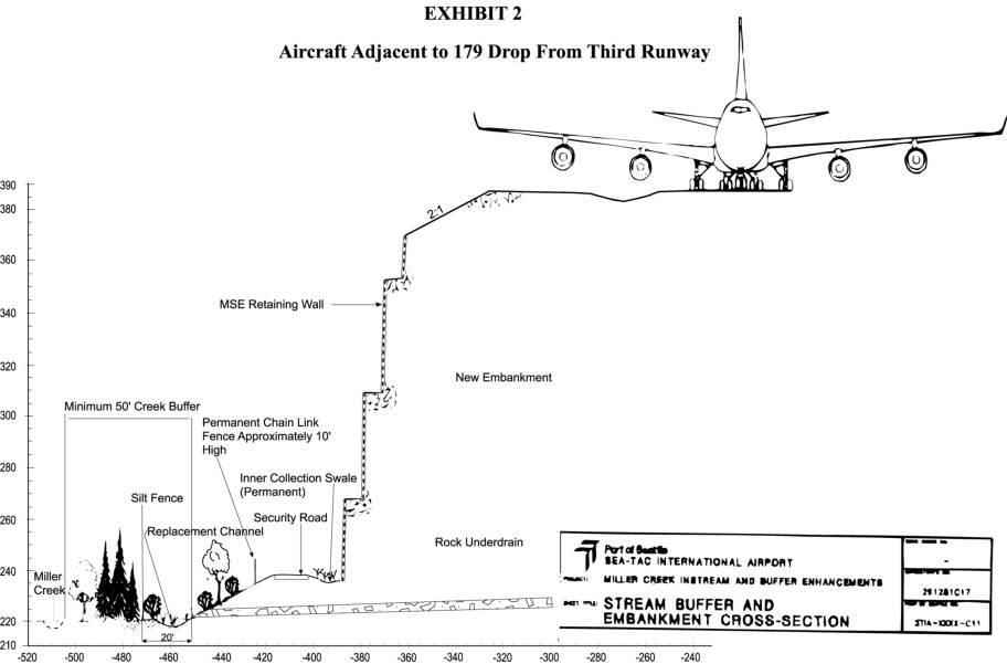
Aircraft adjacent to 179 drop from third runway
This engineering cross-section diagram from Sea-Tac International Airport illustrates the dramatic 179-foot elevation drop adjacent to the proposed Third Runway, showing how a massive retaining wall and new embankment would be constructed alongside Miller Creek. The exhibit depicts key infrastructure features including a permanent chain-link security fence, rock underdrain, silt fence, inner collection swale, and a minimum 50-foot creek buffer zone designed to protect the existing waterway. The drawing is part of the Miller Creek Instream and Buffer Enhancements project documentation associated with the Third Runway expansion. -
 2022-09-12
Discharge Monitoring Reports (DMR’s) and water pollution historical documents
This archive documents a long history of water pollution discharged from Seattle-Tacoma (Sea-Tac) Airport into nearby waterways, dating back to 1948. It includes Discharge Monitoring Reports filed by the Port of Seattle showing high concentrations of glycol and other chemicals flowing into local stormwater systems and ultimately Puget Sound, as well as historical letters from the 1950s describing fish kills in Miller Creek and Des Moines Creek caused by airport runoff. The records reveal decades of regulatory correspondence between the Port of Seattle and Washington State pollution authorities over inadequate waste disposal practices. -
 2022-09-12
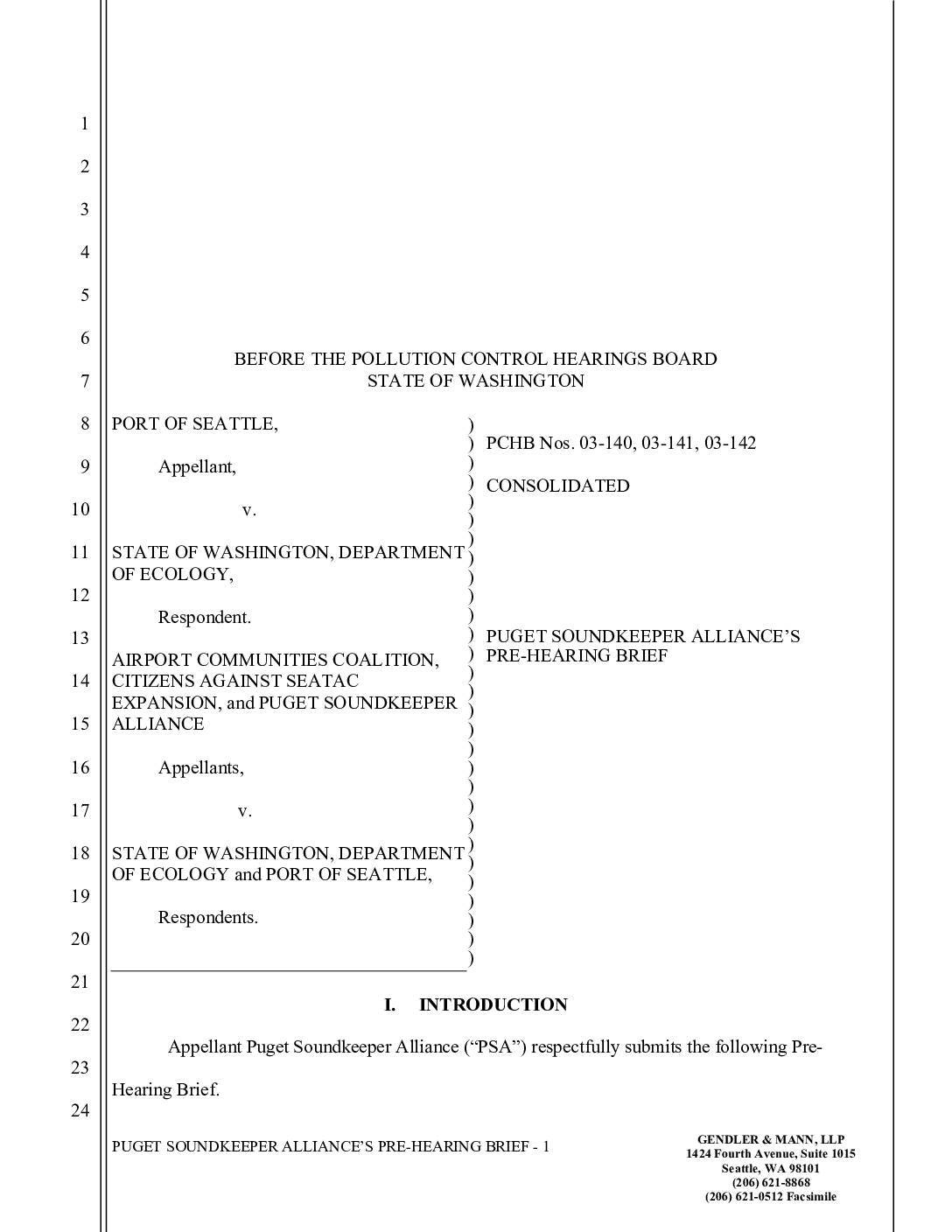
Puget Soundkeeper Alliance’s pre-hearing brief
The Puget Soundkeeper Alliance challenged the 2003 water discharge permit issued to Seattle-Tacoma International Airport, arguing that the Port of Seattle had been releasing harmful pollutants — including aircraft de-icing fluids — into Puget Sound without proper treatment or enforceable limits for nearly a decade. The group contended that Washington State's Department of Ecology improperly extended the airport's compliance deadline beyond the legally allowed 10-year period, pushing it from 2004 to 2007. The case centered on whether the permit violated both Washington State law and the federal Clean Water Act.