TagLand Use(212)
-
 1978-01-01
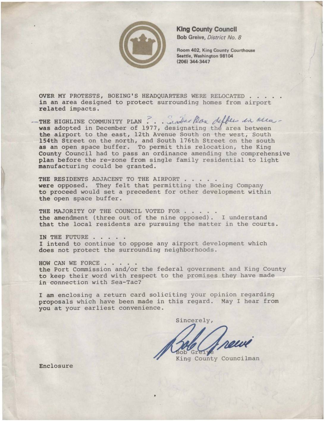
Letter from King County Councilman Bob Grieve on Boeing HQ Relocation and Highline Community Plan
King County Councilman Bob Greive wrote to constituents expressing his opposition to the relocation of Boeing's headquarters into an open space buffer zone near Sea-Tac Airport, an area designated under the 1977 Highline Community Plan to protect nearby residents from airport-related impacts. Despite his protests, the King County Council voted to amend the comprehensive plan and rezone the land from single-family residential to light manufacturing, with only three of nine council members opposing the measure. Greive vowed to continue fighting airport development that threatened surrounding neighborhoods and asked residents for their input on how to hold the Port Commission, federal government, and King County accountable to their promises regarding Sea-Tac. -
 1977-11-01
Highline Community Plan
The Highline Community Plan, published by the King County Planning Division in November 1977, outlines land use policies and development guidelines for the Highline communities in unincorporated King County near Seattle. The plan addresses topics including development limitations, drainage and pollution, neighborhood stability, transportation, and parks and recreation. It was developed through a structured community planning process under the King County Department of Planning and Community Development. -
 1977-03-14
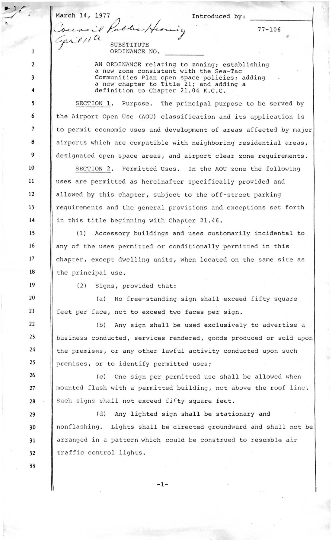
Substitute ordinance establishing Airport Open Use (AOU) zoning classification
Ordinance 77-106, introduced in March 1977, established the Airport Open Use (AOU) zoning classification for areas around major airports like Sea-Tac, allowing compatible economic activities such as agriculture, public parks, commercial recreation, and public utility facilities while protecting neighboring residential areas. The ordinance sets strict conditions on signage, building setbacks, landscaping buffers, and livestock density to minimize conflicts with adjacent residential zones. Uses like golf courses, outdoor storage, and cemeteries require conditional use permits when the property borders residential (R or S) zones. -
 1976-07-01
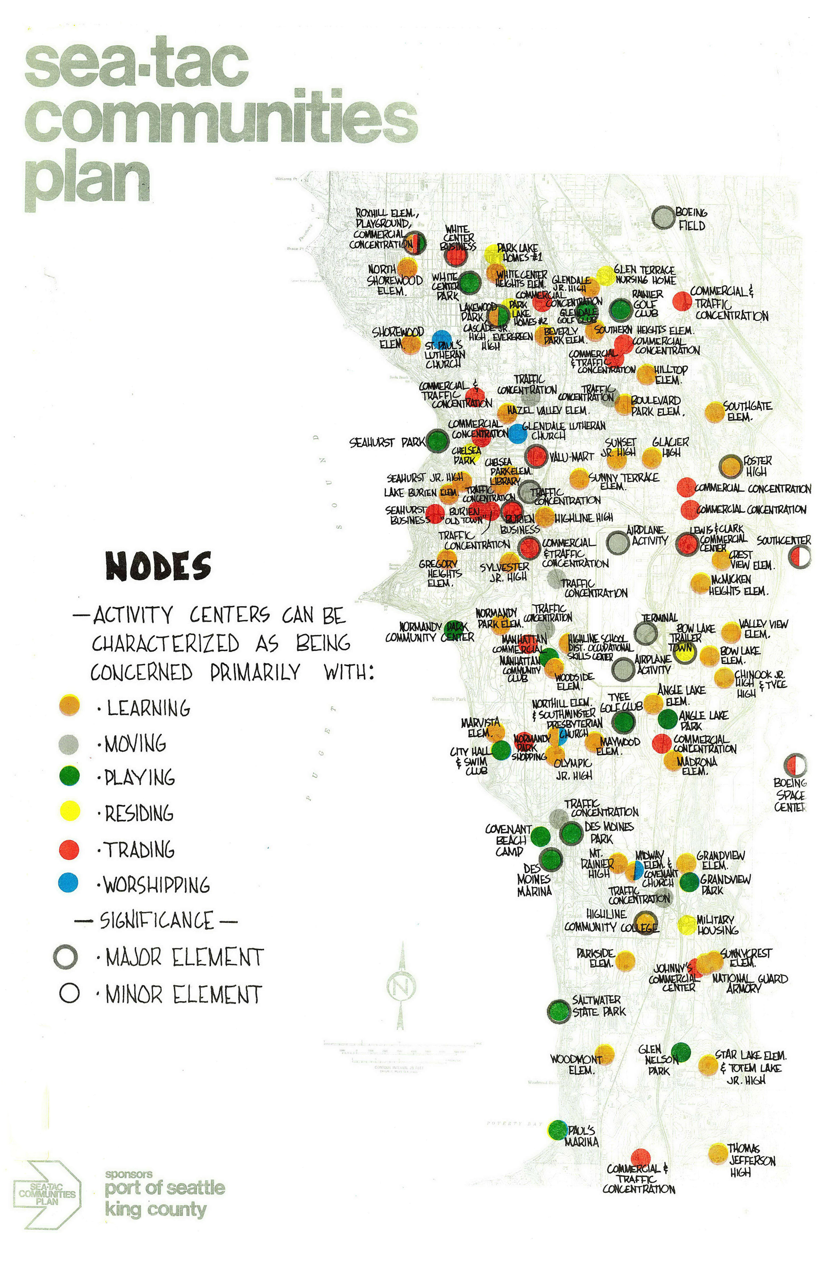
Sea-Tac Communities Plan: Nodes map
A community planning map produced for the Sea-Tac Communities Plan, sponsored by the Port of Seattle and King County, showing activity-center nodes across the Sea-Tac area classified by function (learning, moving, playing, residing, trading, worshipping) and significance (major or minor element). Named locations include schools, parks, commercial concentrations, traffic concentrations, Boeing Field, and Boeing Space Center, among others. -
 1976-06-16
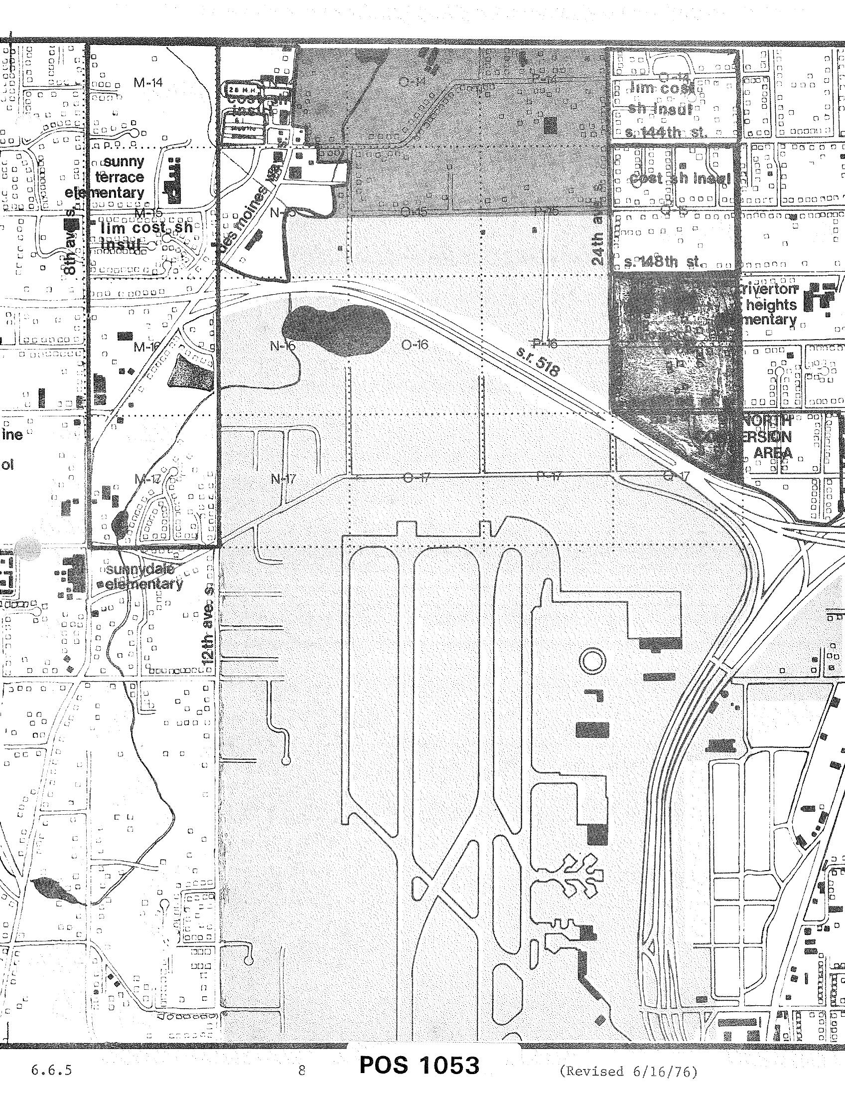
POS 1053 Zoning and Land Use Map — Sea-Tac Airport Area (Revised June 16, 1976)
A planning or zoning map labeled 'POS 1053' (revised June 16, 1976, document section 6.6.5) showing the area surrounding Seattle-Tacoma International Airport, including grid sections M, N, O, and P in rows 14–17, S.R. 518, 24th Avenue, 148th Street, 144th Street, 12th Avenue S., and nearby landmarks such as Sunny Terrace Elementary, Sunnydale Elementary, and Riverton Heights Elementary, with a designated 'North Conversion Area' visible in the upper right. -
 1976-06-16
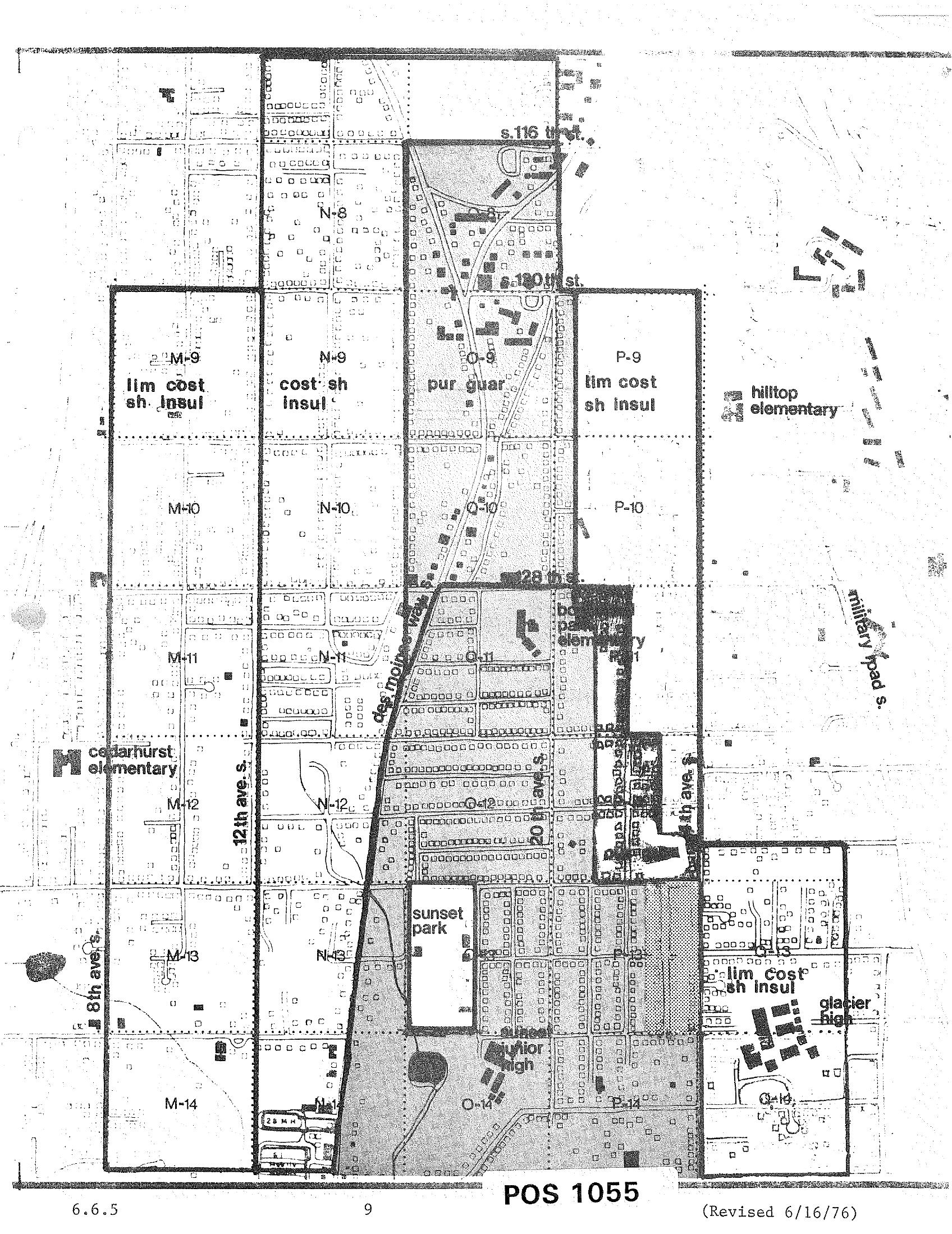
STCP Land Use and Noise Impact Zoning Grid Map, Revised June 16, 1976
A zoning/noise-impact grid map labeled 'POS 1055,' revised June 16, 1976, showing land-use designations (e.g., 'lim cost sh insul,' 'cost sh insul,' 'pur guar') in lettered and numbered grid cells around the Sea-Tac Airport corridor. Named landmarks visible include Cedarhurst Elementary, Hilltop Elementary, Bow Lake Elementary, Glacier High, Sunset Park, Sunset Junior High, 12th Ave S., 8th Ave S., Military Road S., and streets S. 116th, S. 120th, and S. 128th. -
 1976-06-16
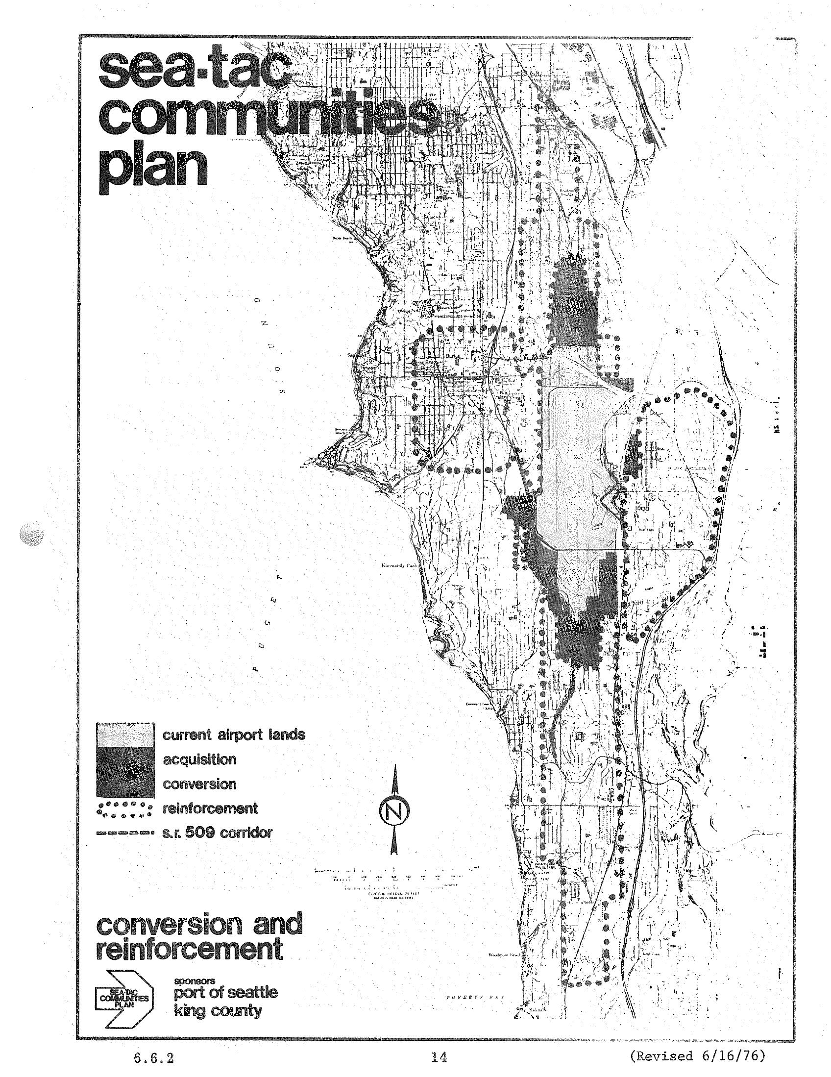
Sea-Tac Communities Plan Land Use Map — Conversion and Reinforcement Areas (1976)
A planning map from the Sea-Tac Communities Plan (page 14, revised June 16, 1976), sponsored by the Port of Seattle and King County, depicting current airport lands, acquisition zones, conversion areas, reinforcement areas (dotted pattern), and the S.R. 509 corridor in the Sea-Tac region along Puget Sound. The map illustrates land use strategies for communities affected by Seattle-Tacoma International Airport noise and expansion. -
 1976-06-16
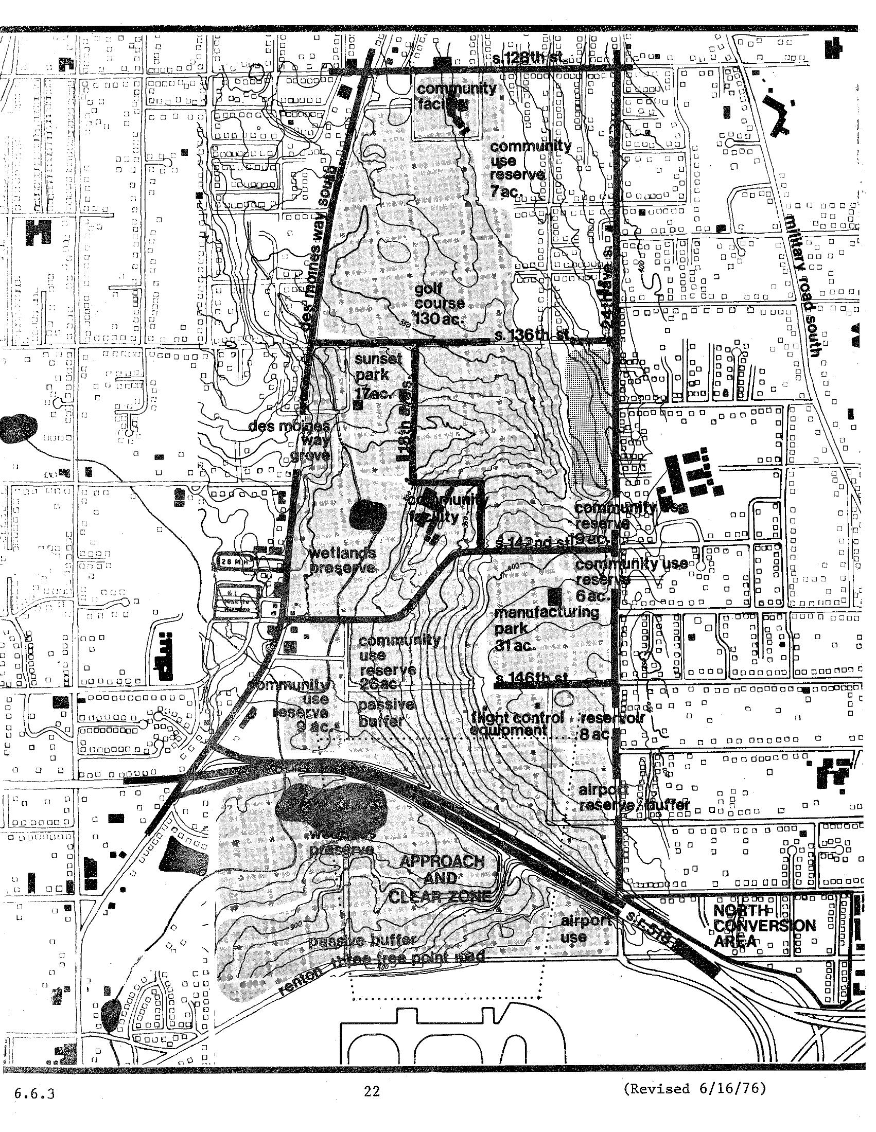
Sea-Tac Communities Plan Chapter 6, Page 22 — North Subarea Land Use Map (1976)
A detailed planning map (page 22, revised June 16, 1976) showing land use designations around Seattle-Tacoma International Airport, including a golf course (130 ac.), wetlands preserve, manufacturing park (31 ac.), community use reserves, sunset park (17 ac.), approach and clear zone, and airport reserve/buffer areas bounded by S. 128th St. to the north and the Renton–Three Tree Point Road to the south along Military Road South. -
 1976-06-16
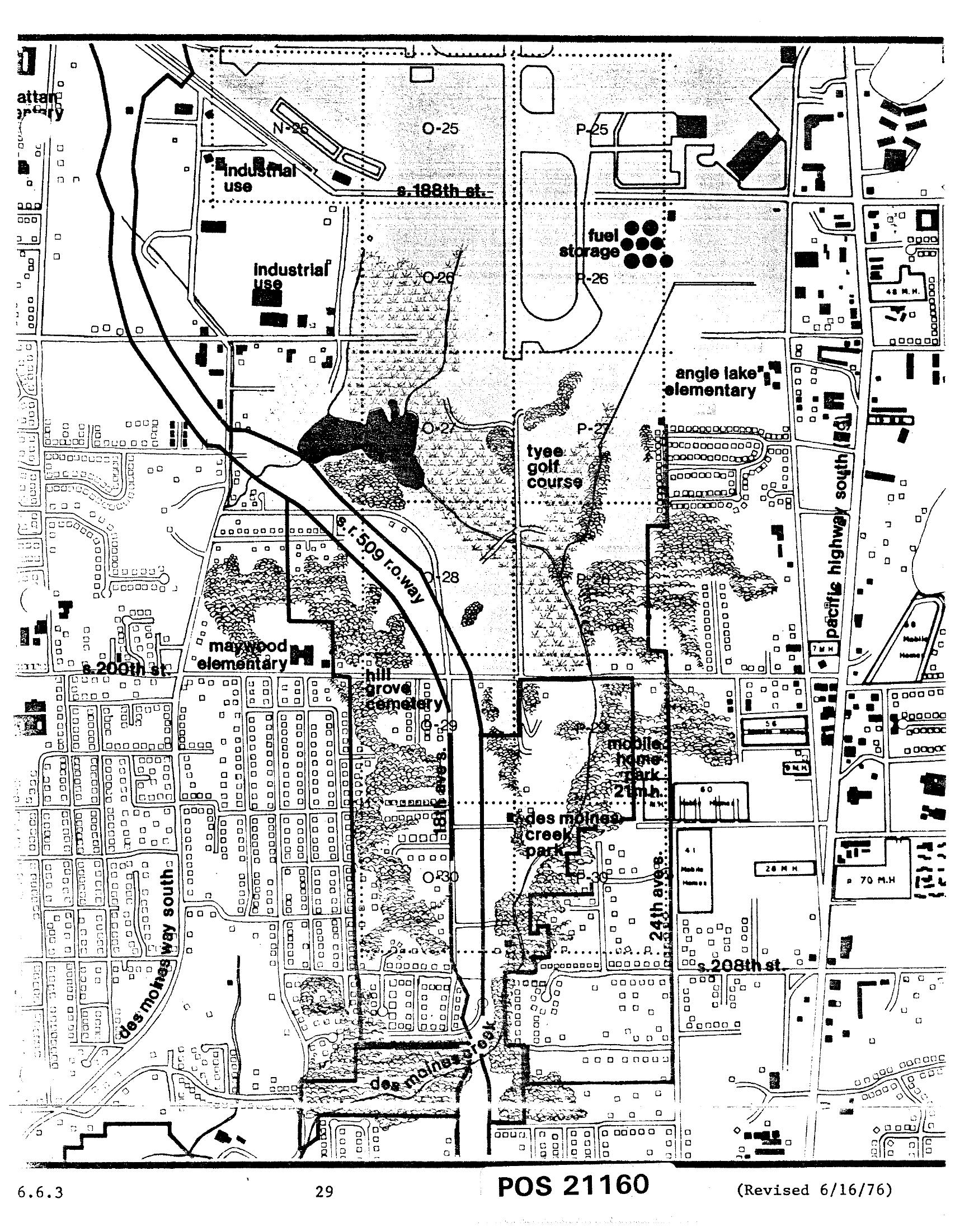
Sea-Tac Comprehensive Plan Land Use Zoning Map — Des Moines Area, Chapter 6, Page 29 (June 1976)
This is document POS 21160, revised June 16, 1976, a detailed land use map (page 29, section 6.6.3) showing the area surrounding Seattle-Tacoma International Airport. Visible features include industrial use zones, fuel storage areas, Tyee Golf Course, Angle Lake Elementary, Maywood Elementary, Hill Grove Cemetery, Des Moines Creek Park, a mobile home park, S. 188th St., S. 200th St., S. 208th St., Pacific Highway South, Des Moines Way South, and the S.R. 509 right-of-way corridor. -
 1976-03-31
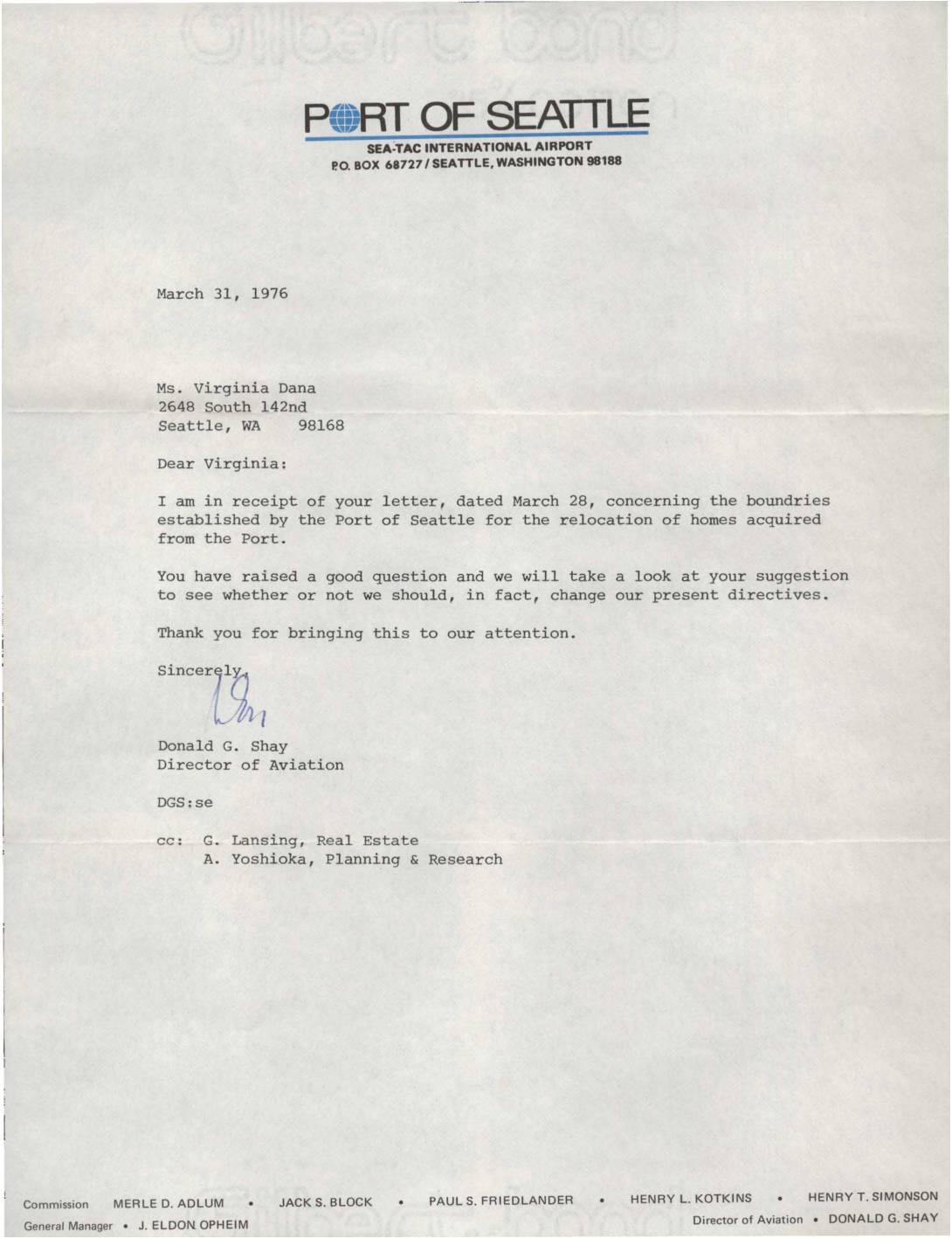
Port of Seattle response to Virginia Dana regarding home relocation boundaries
In March 1976, Virginia Dana wrote to Donald G. Shay, Director of Aviation at Sea-Tac International Airport, questioning why the Port of Seattle had not updated its relocation boundaries for airport-acquired homes to reflect new high-noise zones identified in the Sea-Tac Communities Plan. She argued that using Highway 99 as an eastern boundary was inadequate and that vacant lots east of the airport, between the airport and South 126th, could accommodate relocated homes while boosting the local tax base. Shay responded that the Port would review her suggestion and consider whether to revise its existing relocation directives.