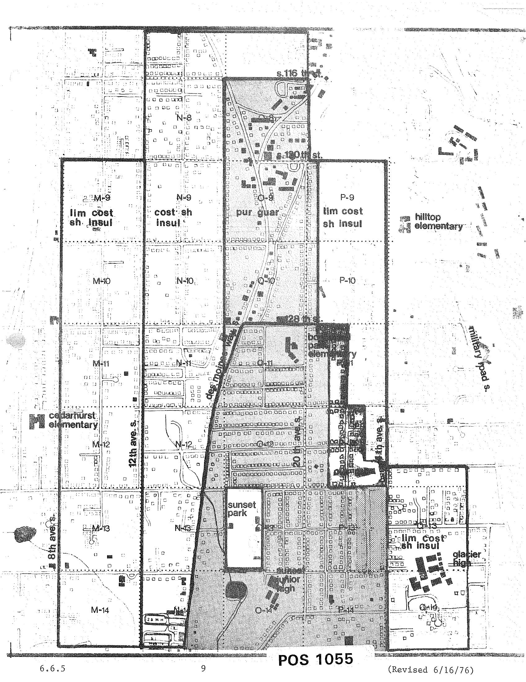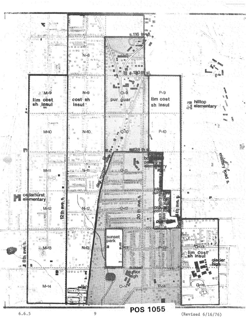
A zoning/noise-impact grid map labeled 'POS 1055,' revised June 16, 1976, showing land-use designations (e.g., 'lim cost sh insul,' 'cost sh insul,' 'pur guar') in lettered and numbered grid cells around the Sea-Tac Airport corridor. Named landmarks visible include Cedarhurst Elementary, Hilltop Elementary, Bow Lake Elementary, Glacier High, Sunset Park, Sunset Junior High, 12th Ave S., 8th Ave S., Military Road S., and streets S. 116th, S. 120th, and S. 128th.Open full document
Notes
A zoning/noise-impact grid map labeled ‘POS 1055,’ revised June 16, 1976, showing land-use designations (e.g., ‘lim cost sh insul,’ ‘cost sh insul,’ ‘pur guar’) in lettered and numbered grid cells around the Sea-Tac Airport corridor. Named landmarks visible include Cedarhurst Elementary, Hilltop Elementary, Bow Lake Elementary, Glacier High, Sunset Park, Sunset Junior High, 12th Ave S., 8th Ave S., Military Road S., and streets S. 116th, S. 120th, and S. 128th.