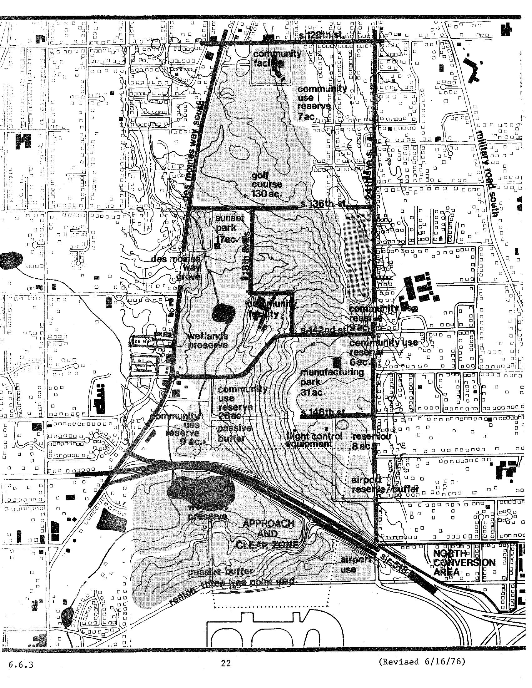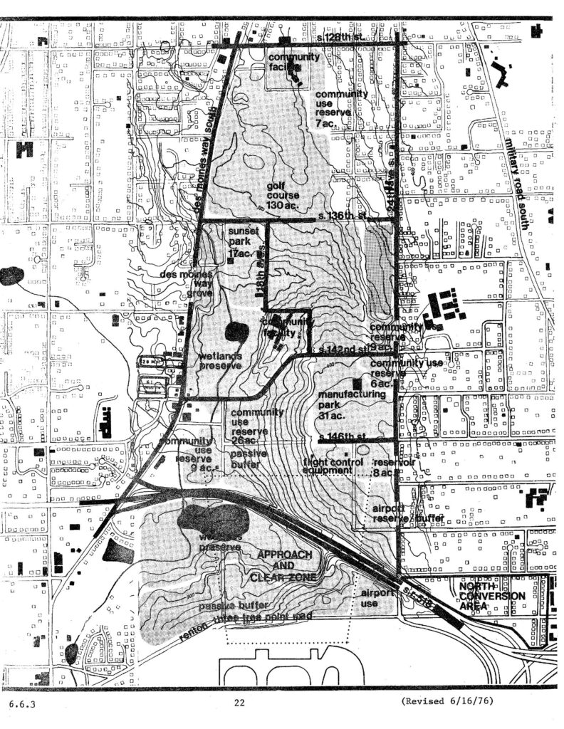
A detailed planning map (page 22, revised June 16, 1976) showing land use designations around Seattle-Tacoma International Airport, including a golf course (130 ac.), wetlands preserve, manufacturing park (31 ac.), community use reserves, sunset park (17 ac.), approach and clear zone, and airport reserve/buffer areas bounded by S. 128th St. to the north and the Renton–Three Tree Point Road to the south along Military Road South.Open full document
Notes
A detailed planning map (page 22, revised June 16, 1976) showing land use designations around Seattle-Tacoma International Airport, including a golf course (130 ac.), wetlands preserve, manufacturing park (31 ac.), community use reserves, sunset park (17 ac.), approach and clear zone, and airport reserve/buffer areas bounded by S. 128th St. to the north and the Renton–Three Tree Point Road to the south along Military Road South.