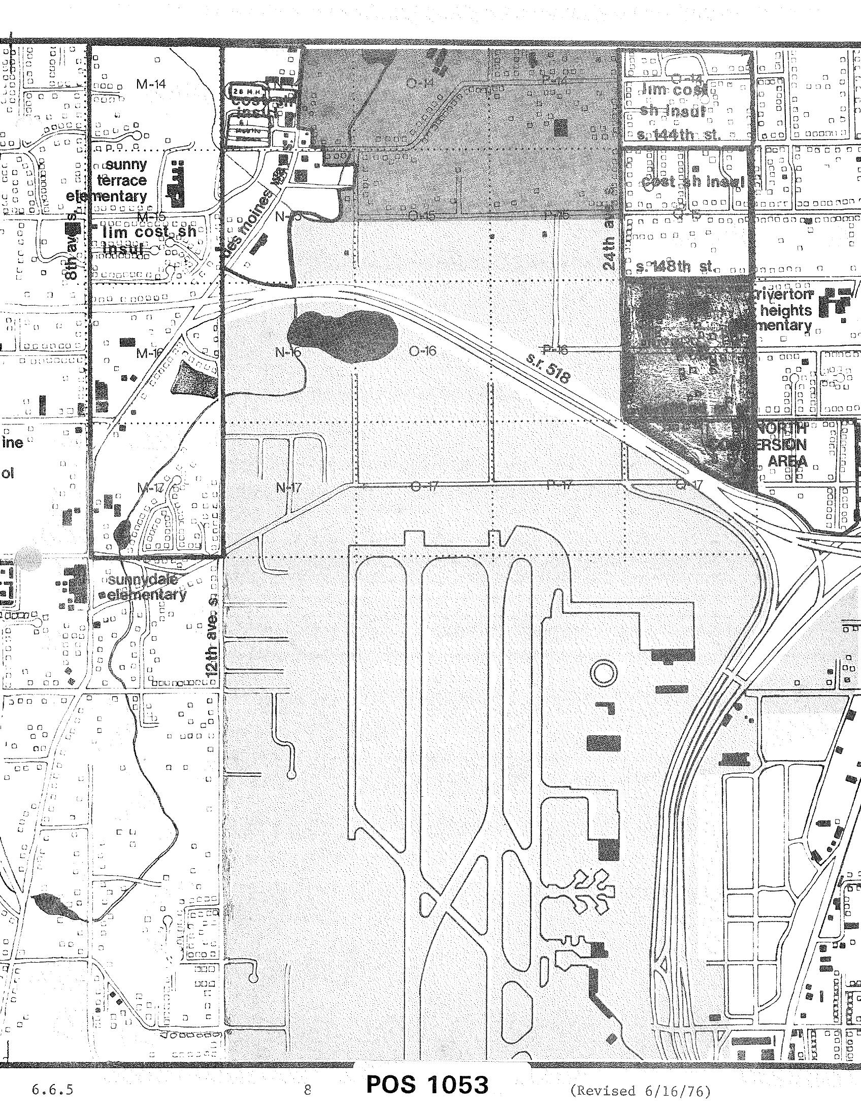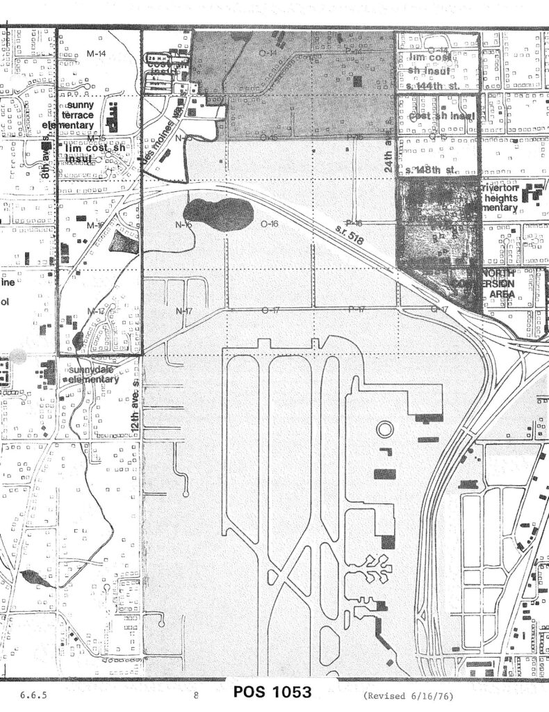
A planning or zoning map labeled 'POS 1053' (revised June 16, 1976, document section 6.6.5) showing the area surrounding Seattle-Tacoma International Airport, including grid sections M, N, O, and P in rows 14–17, S.R. 518, 24th Avenue, 148th Street, 144th Street, 12th Avenue S., and nearby landmarks such as Sunny Terrace Elementary, Sunnydale Elementary, and Riverton Heights Elementary, with a designated 'North Conversion Area' visible in the upper right.Open full document
Notes
A planning or zoning map labeled ‘POS 1053’ (revised June 16, 1976, document section 6.6.5) showing the area surrounding Seattle-Tacoma International Airport, including grid sections M, N, O, and P in rows 14–17, S.R. 518, 24th Avenue, 148th Street, 144th Street, 12th Avenue S., and nearby landmarks such as Sunny Terrace Elementary, Sunnydale Elementary, and Riverton Heights Elementary, with a designated ‘North Conversion Area’ visible in the upper right.