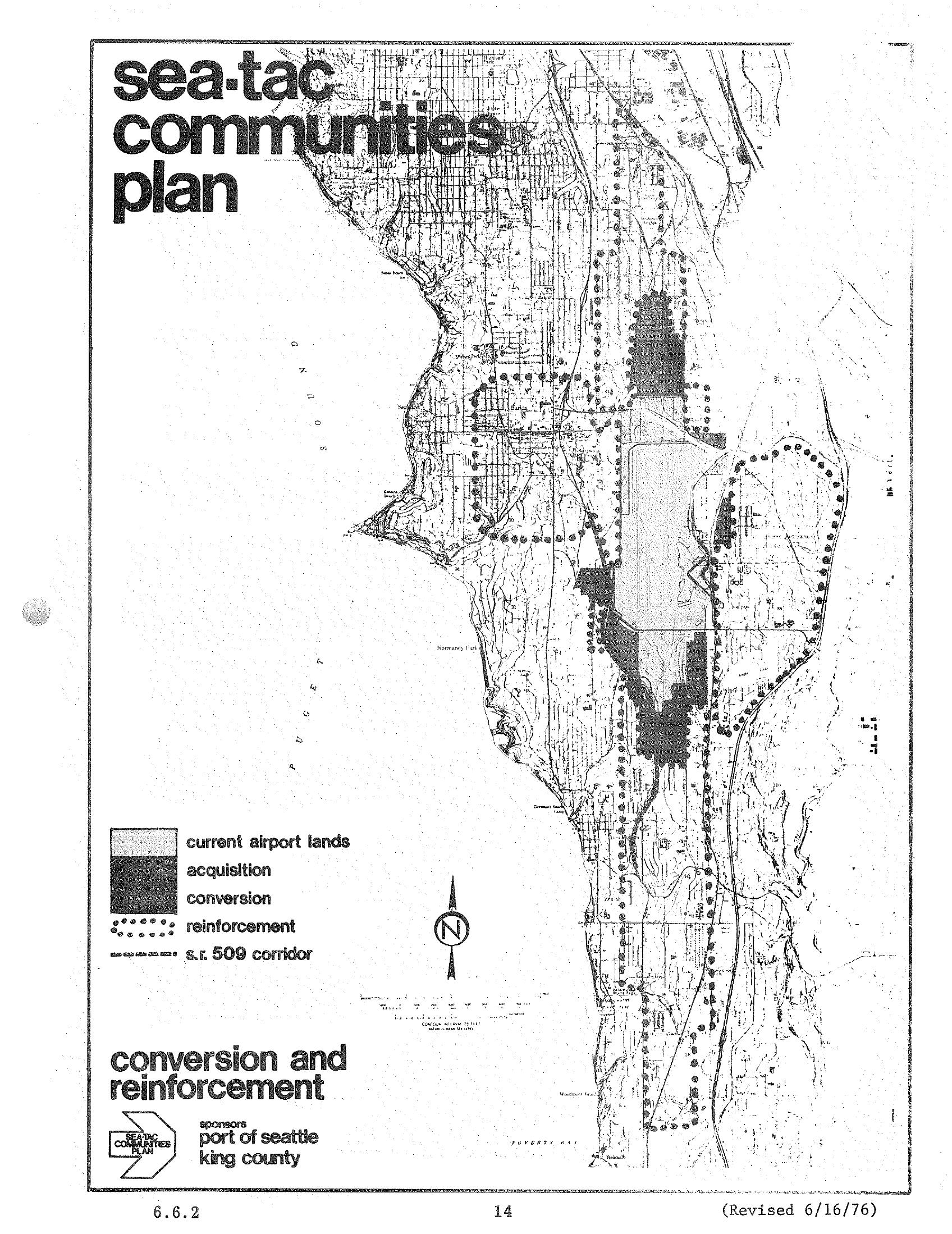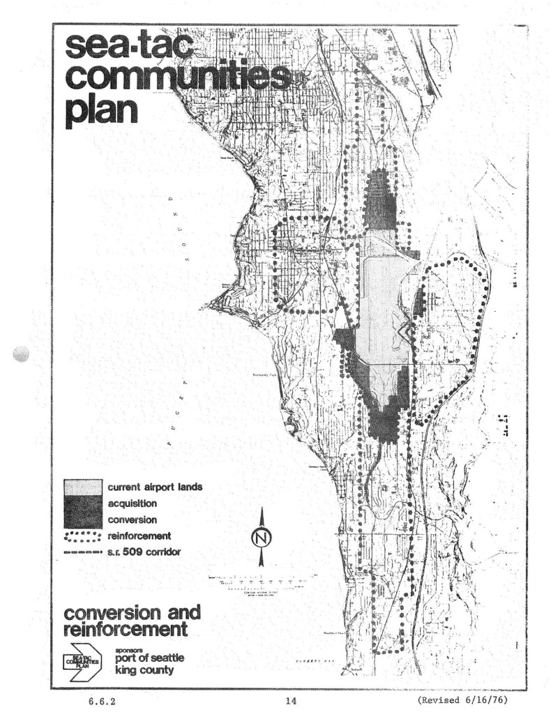
A planning map from the Sea-Tac Communities Plan (page 14, revised June 16, 1976), sponsored by the Port of Seattle and King County, depicting current airport lands, acquisition zones, conversion areas, reinforcement areas (dotted pattern), and the S.R. 509 corridor in the Sea-Tac region along Puget Sound. The map illustrates land use strategies for communities affected by Seattle-Tacoma International Airport noise and expansion.Open full document
Notes
A planning map from the Sea-Tac Communities Plan (page 14, revised June 16, 1976), sponsored by the Port of Seattle and King County, depicting current airport lands, acquisition zones, conversion areas, reinforcement areas (dotted pattern), and the S.R. 509 corridor in the Sea-Tac region along Puget Sound. The map illustrates land use strategies for communities affected by Seattle-Tacoma International Airport noise and expansion.