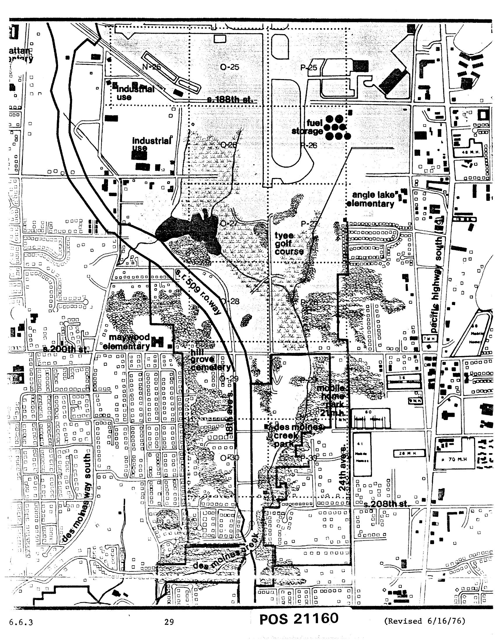
This is document POS 21160, revised June 16, 1976, a detailed land use map (page 29, section 6.6.3) showing the area surrounding Seattle-Tacoma International Airport. Visible features include industrial use zones, fuel storage areas, Tyee Golf Course, Angle Lake Elementary, Maywood Elementary, Hill Grove Cemetery, Des Moines Creek Park, a mobile home park, S. 188th St., S. 200th St., S. 208th St., Pacific Highway South, Des Moines Way South, and the S.R. 509 right-of-way corridor.Open full document
Notes
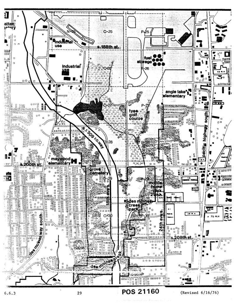
This is document POS 21160, revised June 16, 1976, a detailed land use map (page 29, section 6.6.3) showing the area surrounding Seattle-Tacoma International Airport. Visible features include industrial use zones, fuel storage areas, Tyee Golf Course, Angle Lake Elementary, Maywood Elementary, Hill Grove Cemetery, Des Moines Creek Park, a mobile home park, S. 188th St., S. 200th St., S. 208th St., Pacific Highway South, Des Moines Way South, and the S.R. 509 right-of-way corridor.