TagLand Use(212)
-
 1975-07-15
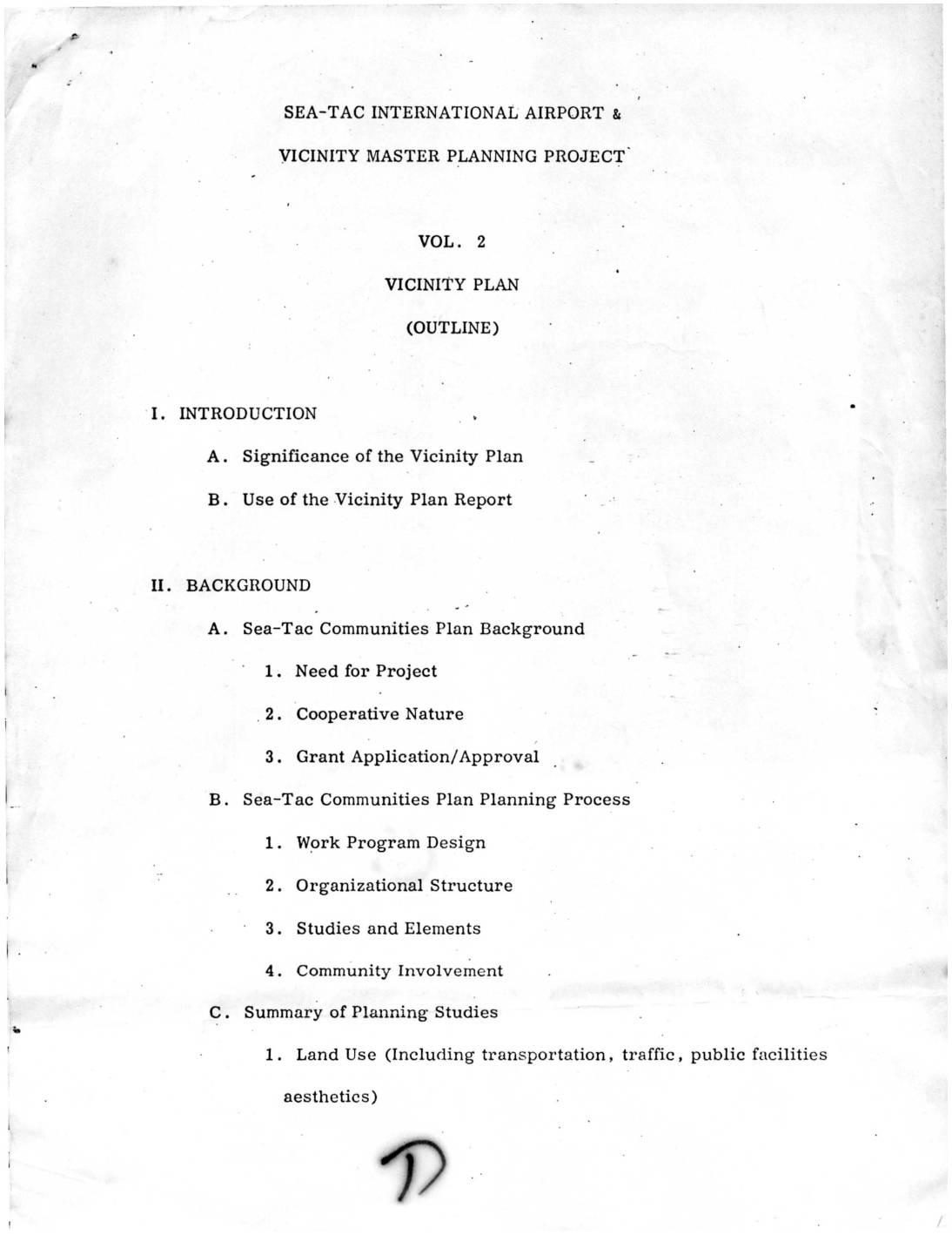
Sea-Tac International Airport & Vicinity Master Planning Project – Volume 2 Vicinity Plan Outline
This document is the outline for Volume 2 of the Sea-Tac International Airport & Vicinity Master Planning Project, focusing on the Vicinity Plan developed through a cooperative community planning process. It covers background studies on land use, noise exposure, air and water quality, and community attitudes, alongside underlying goals drawn from King County, FAA regulations, and local city plans. Key plan sections address airport-community compatibility, residential neighborhood stability, aircraft noise reduction programs, and water quality and drainage policies. -
 1975-05-27
Part 6 – chapter 6.7 map supplement
Chapter 6.7 map supplement from the Sea-Tac Communities Plan showing proposed land use plans for the airport and surrounding vicinity. The document contains color-coded maps displaying various land use categories including residential, commercial, industrial, and airport facilities. -
 1975-04-22
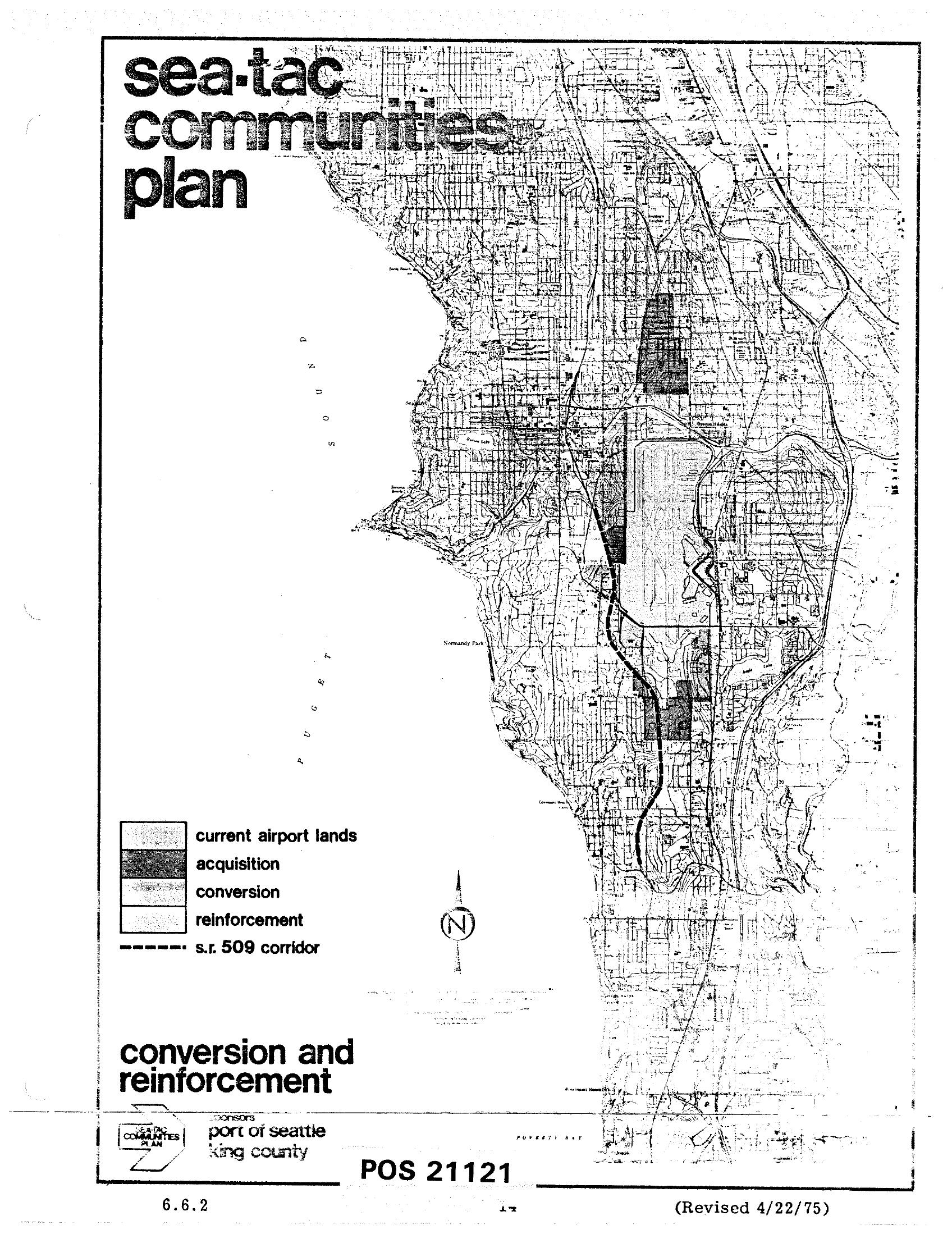
Sea-Tac Communities Plan Map 6.6.2 — Conversion and Reinforcement Areas (April 1975)
This is map sheet 6.6.2 (POS 21121, revised April 22, 1975) from the Sea-Tac Communities Plan, sponsored by the Port of Seattle and King County. It shows the area around Seattle-Tacoma International Airport with land-use designations including current airport lands, acquisition zones, conversion areas, reinforcement areas, and the proposed S.R. 509 corridor, overlaid on a street grid map extending from Puget Sound eastward. -
 1975-01-01
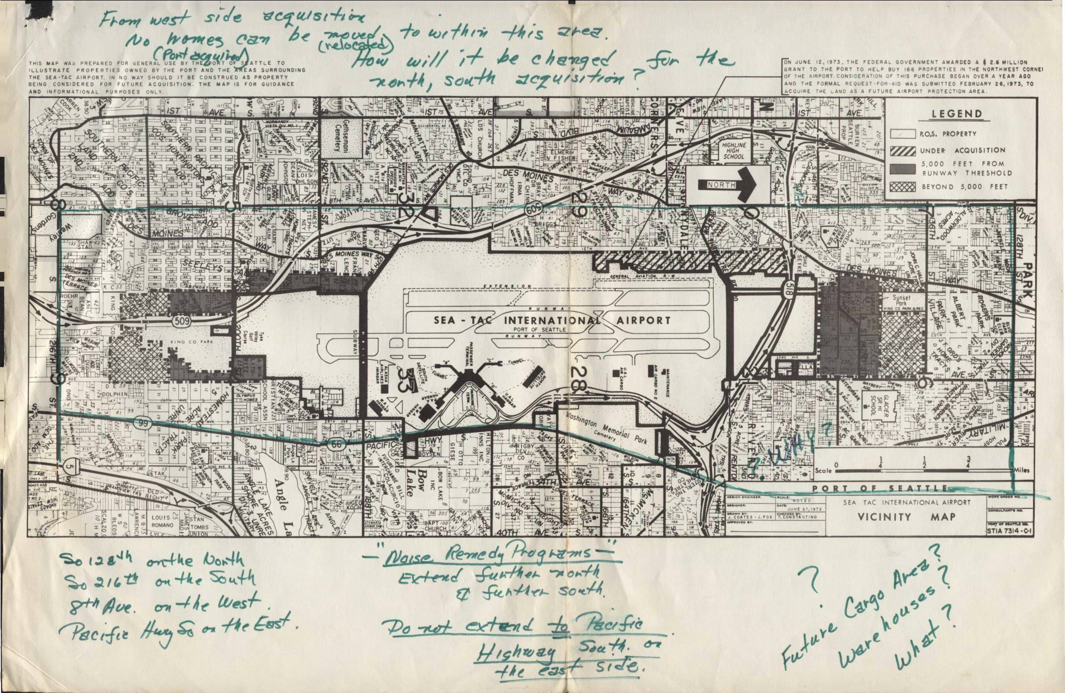
Sea-Tac International Airport Map with Handwritten Notes
Vicinity Map of Sea-Tac International Airport and surrounding areas including runways, terminals, and nearby communities from the Sea-Tac Communities Plan committee. The map contains extensive handwritten annotations and notes from Virginia Dana concerning relocation, warehouses and HB1328. -
 1974-07-19
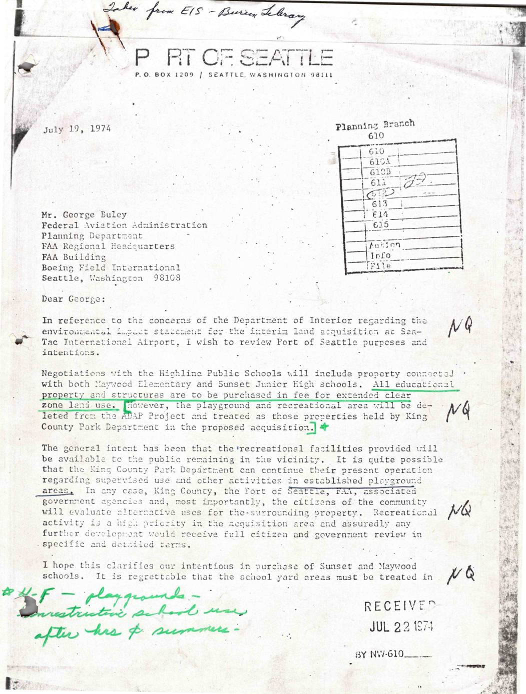
Port of Seattle letter to FAA regarding school property acquisition
In this July 19, 1974 letter, Donald G. Shay, Director of Aviation for the Port of Seattle, writes to the FAA's Planning Department to clarify the Port's intentions regarding land acquisition near Sea-Tac International Airport. He explains that negotiations with Highline Public Schools will result in the purchase of Maywood Elementary and Sunset Junior High schools, with educational buildings bought outright for extended clear zone land use, while playground and recreational areas will be handled separately and made available to the surrounding public. Shay emphasizes that recreational use is a high priority in the acquisition area and that any further development would undergo full citizen and government review. -
 1974-02-26
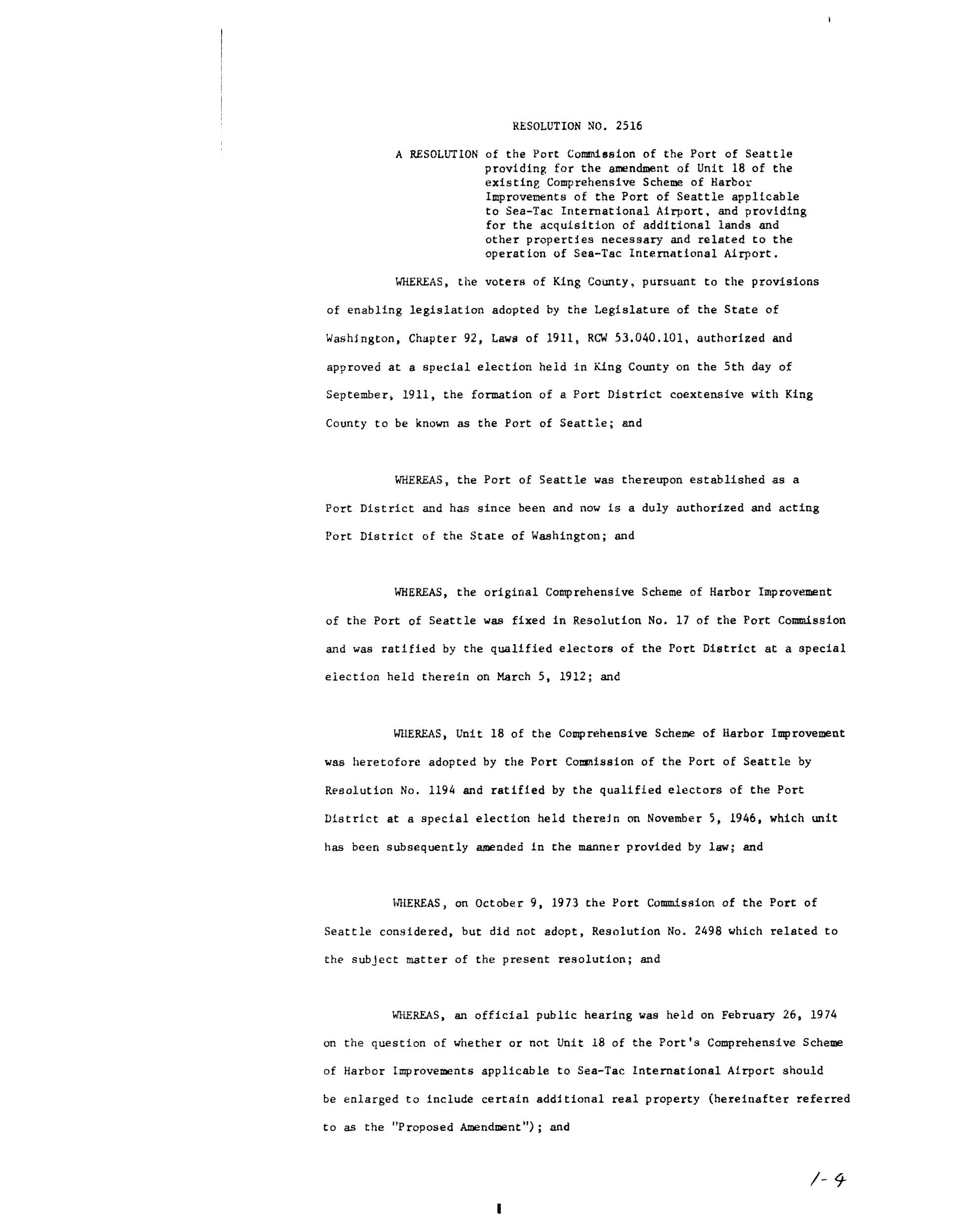
Resolution No. 2516: Amendment of Unit 18 of the Comprehensive Scheme of Harbor Improvements applicable to Sea-Tac International Airport
Resolution No. 2516 of the Port of Seattle Commission authorized the expansion of Unit 18 of the Port's Comprehensive Scheme of Harbor Improvements to include additional land surrounding Sea-Tac International Airport. The resolution directed the Port to acquire these properties—through purchase or eminent domain—to establish runway clear zones, buffer zones, and safety areas for airplane passengers, airport personnel, and neighboring residents. All acquisition proceedings were required to comply with applicable federal, state, and local environmental laws, including the State Environmental Policy Act. -
 1974-02-13
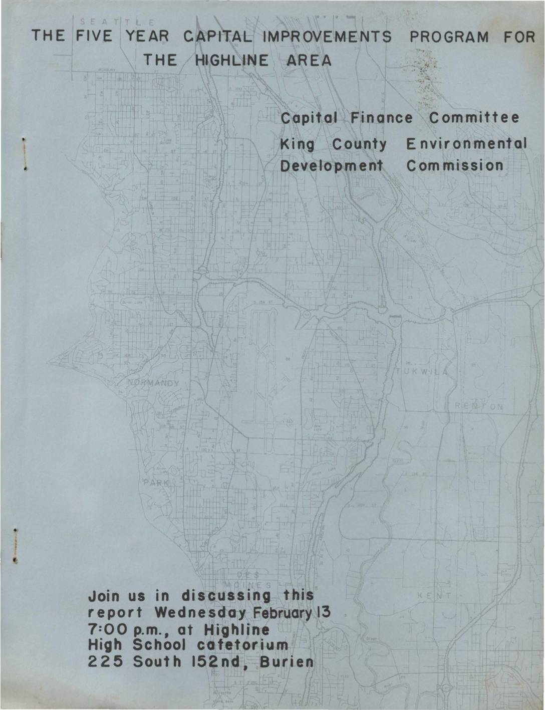
Five Year Capital Improvements Program for the Highline Area
This 1974 report by the King County Environmental Development Commission outlines capital improvement projects tentatively scheduled for the Highline Area — a community near present-day Sea-Tac Airport — covering the years 1974 through 1979. Prepared to encourage public input before financial and legislative commitments were finalized, it invited residents to review and discuss planned development projects at a public meeting held at Highline High School in Burien on February 13, 1974. -
 1973-04-20
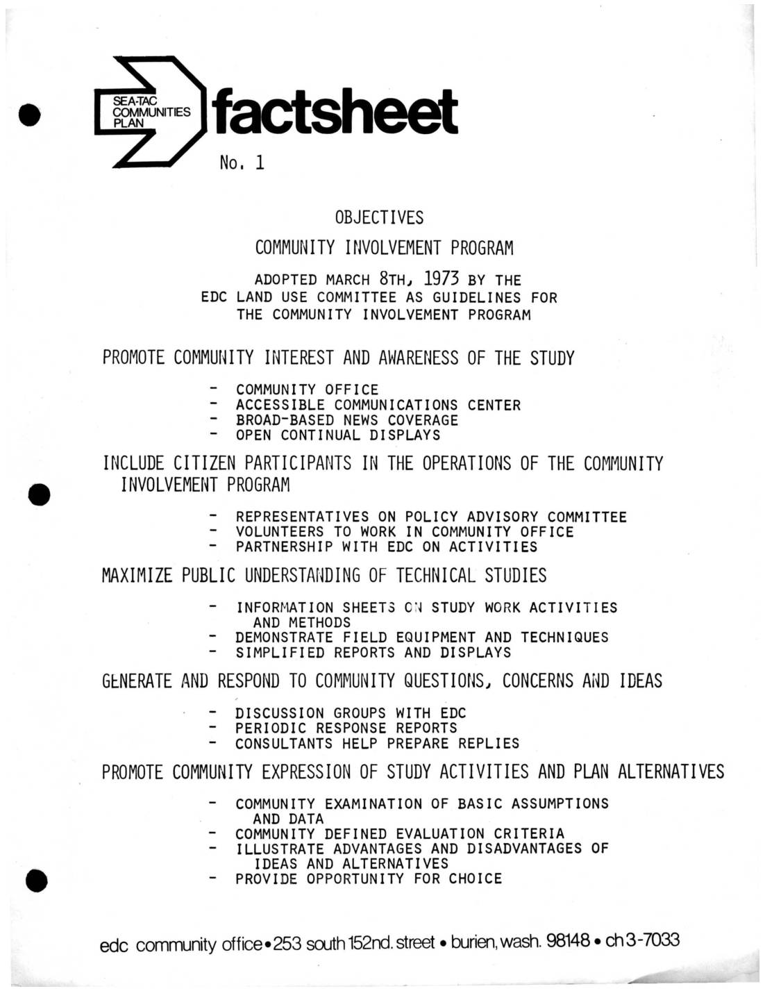
Sea-Tac Communities Plan Fact Sheets: Community Involvement Program Objectives, Environmental Development Commission, and Technical Advisory Committee
These fact sheets from 1973 outline the structure and goals of the Sea-Tac Communities Plan, a planning study focused on Sea-Tac International Airport and surrounding areas. The Community Involvement Program aimed to engage local residents through a community office, public displays, and citizen representation on advisory committees. Technical oversight was provided by the Technical Advisory Committee (TAC), which brought together representatives from local, state, and federal agencies—including the FAA, EPA, Boeing, and area school districts—to coordinate planning efforts and review recommendations. -
 1972-04-21
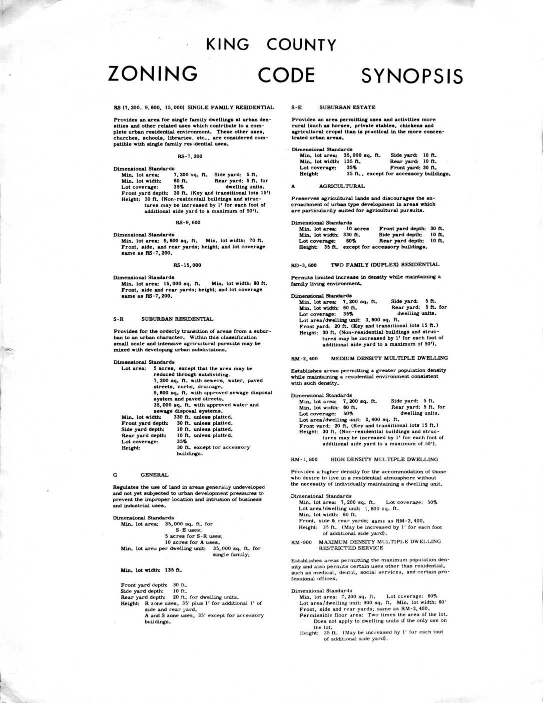
King County Zoning Code Synopsis
This 1972 King County Zoning Code Synopsis outlines dimensional standards and land-use purposes for all zoning classifications in King County, Washington, ranging from single-family residential zones (RS-7,200 through RS-15,000) to agricultural, commercial, and industrial designations. Each zone specifies minimum lot sizes, yard setbacks, lot coverage limits, and building height restrictions. The document provides the regulatory framework that governed land development in the King County area, including communities near Sea-Tac Airport, during the early 1970s. -
 1969-02-08
Sea-Tac International Airport: Part 3 — Boeing Bust to Deregulation
The Port of Seattle built Seattle-Tacoma International Airport during World War II to relieve pressure on existing airports such as Seattle’s Boeing Field. Following the war, Sea-Tac quickly established itself as the region’s aviation hub, but it had to undertake major improvements to accommodate newer jet aircraft and steadily increasing numbers of passengers. During the