TagSea-Tac Airport(1855)
-
 2000-12-01
EXH AR009210: Wetland Functional Assessment and Impact Analysis — Master Plan Update Improvements, Seattle-Tacoma International Airport
Wetland Functional Assessment and Impact Analysis prepared by Parametrix, Inc. (Kirkland, Washington) for Port Of Seattle, Seattle-Tacoma International Airport, December 2000, project number 556-2912-001 (03). Document filed in PCHB No. 01-133, received October 1, 2001 by Environmental Hearings Office, submitted as part of Port of Seattle’s Memo Opposing ACC’s Motion for Stay, Declaration of James -
 2000-12-01
EXH AR021132: Comprehensive Stormwater Management Plan — Master Plan Update Improvements, STIA
This December 2000 report by Parametrix, Inc. for the Port of Seattle presents a Comprehensive Stormwater Management Plan for Master Plan Update improvements at Seattle-Tacoma International Airport. It maps the airport's drainage basins, surrounding watersheds (including the Duwamish River, Des Moines Creek, and Miller Creek watersheds), and identifies pollution-generating and non-pollution-generating surfaces across the airport property. The plan outlines water quality treatment strategies for existing and proposed impervious surfaces to manage stormwater runoff from airport operations. -
 2000-12-01
EXH AR046366: Comprehensive Stormwater Management Plan — STIA Master Plan Update Improvements
Comprehensive Stormwater Management Plan (SMP) prepared by Parametrix, Inc. for the Port of Seattle, Seattle-Tacoma International Airport (STIA) Master Plan Update Improvements, December 2000, project number 556-2912-001(28). Document includes a July 2001 preface with replacement pages developed in response to Washington State Department of Ecology (Ecology) comments on Volumes 1 through 4. Covers stormwater management, -
 2000-11-29
EXH AR046207: Subsurface Conditions Data Report, Phase 4 Fill, Third Runway Embankment, Sea-Tac Airport
Draft Subsurface Conditions Data Report for Phase 4 Fill of the Third Runway Embankment at Sea-Tac International Airport, prepared by Hart Crowser (HartCrowser) for Port of Seattle and HNTB, dated November 29, 2000, project J-4978-28, AR 046207. Report covers generalized geologic conditions, subsurface soil conditions, hydrogeologic conditions, field exploration methods including auger borings, Standard Penetration -
 2000-11-27
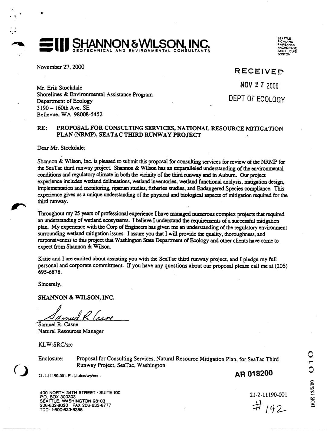
EXH AR018200: Shannon & Wilson Proposal for Consulting Services — Natural Resource Mitigation Plan, Sea-Tac Third Runway Project
Letter dated November 27, 2000 from Samuel R. Casne, Natural Resources Manager at Shannon & Wilson, Inc., to Erik Stockdale of the Washington State Department of Ecology (Shorelines & Environmental Assistance Program) in Bellevue, WA, proposing consulting services for review of the Natural Resource Mitigation Plan (NRMP) for the SeaTac Third Runway Project. The proposal, -
 2000-11-22
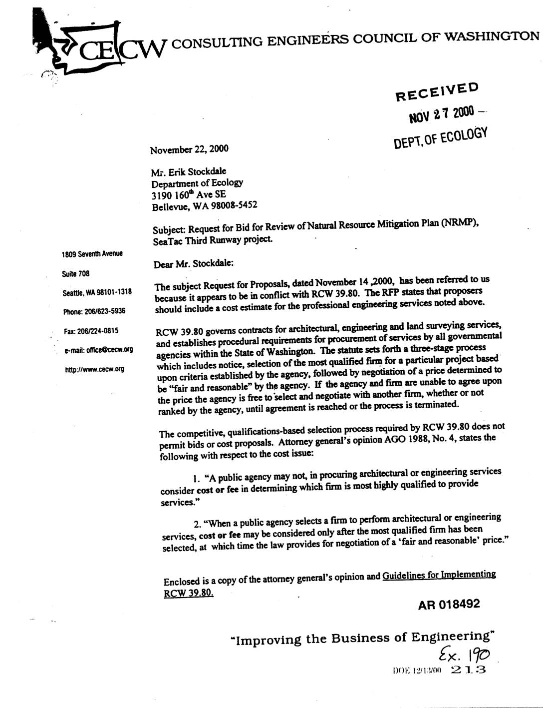
Exhibit 190: Letter from Consulting Engineers Council of Washington to Ecology Regarding RCW 39.80 Violation in Sea-Tac Third Runway NRMP RFP
Letter dated November 22, 2000 from Bill Garrity, Executive Director of the Consulting Engineers Council of Washington (CECW), to Erik Stockdale at the Washington Department of Ecology (AR 018492–018493). The letter addresses the Request for Bid (RFP dated November 14, 2000) for review of the Natural Resource Mitigation Plan (NRMP) for the SeaTac Third Runway -
 2000-11-21
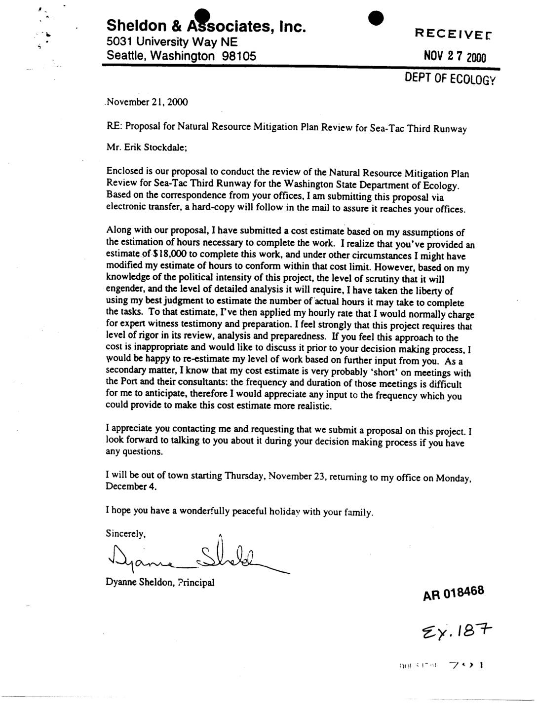
EXH AR018468: Sheldon & Associates Proposal for Natural Resource Mitigation Plan Review — Sea-Tac Third Runway
Letter and proposal from Dyanne Sheldon, Principal of Sheldon & Associates, Inc. (Seattle, WA), addressed to Erik Stockdale at Washington State Department of Ecology, dated November 21, 2000, submitting a proposal to review the Natural Resource Mitigation Plan (NRMP) for the Sea-Tac Third Runway. The letter discusses cost estimate exceeding the provided $18,000 budget, justifying -
 2000-11-16
EXH AR025989: STIA Third Runway Technical Review Board 1st Meeting Revised Agenda Nov 16–18 2000
This document contains the revised agenda for the first Technical Review Board (TRB) meeting held November 16-18, 2000, concerning the Seattle-Tacoma International Airport Third Runway Project. The three-day meeting covered geotechnical and engineering topics including subsurface conditions, subgrade improvements, seismic design, MSE wall design, and general embankment fill. The agenda also included a site tour and a session for the TRB to summarize comments and recommendations on the adequacy of investigations and construction methods. -
 2000-11-15
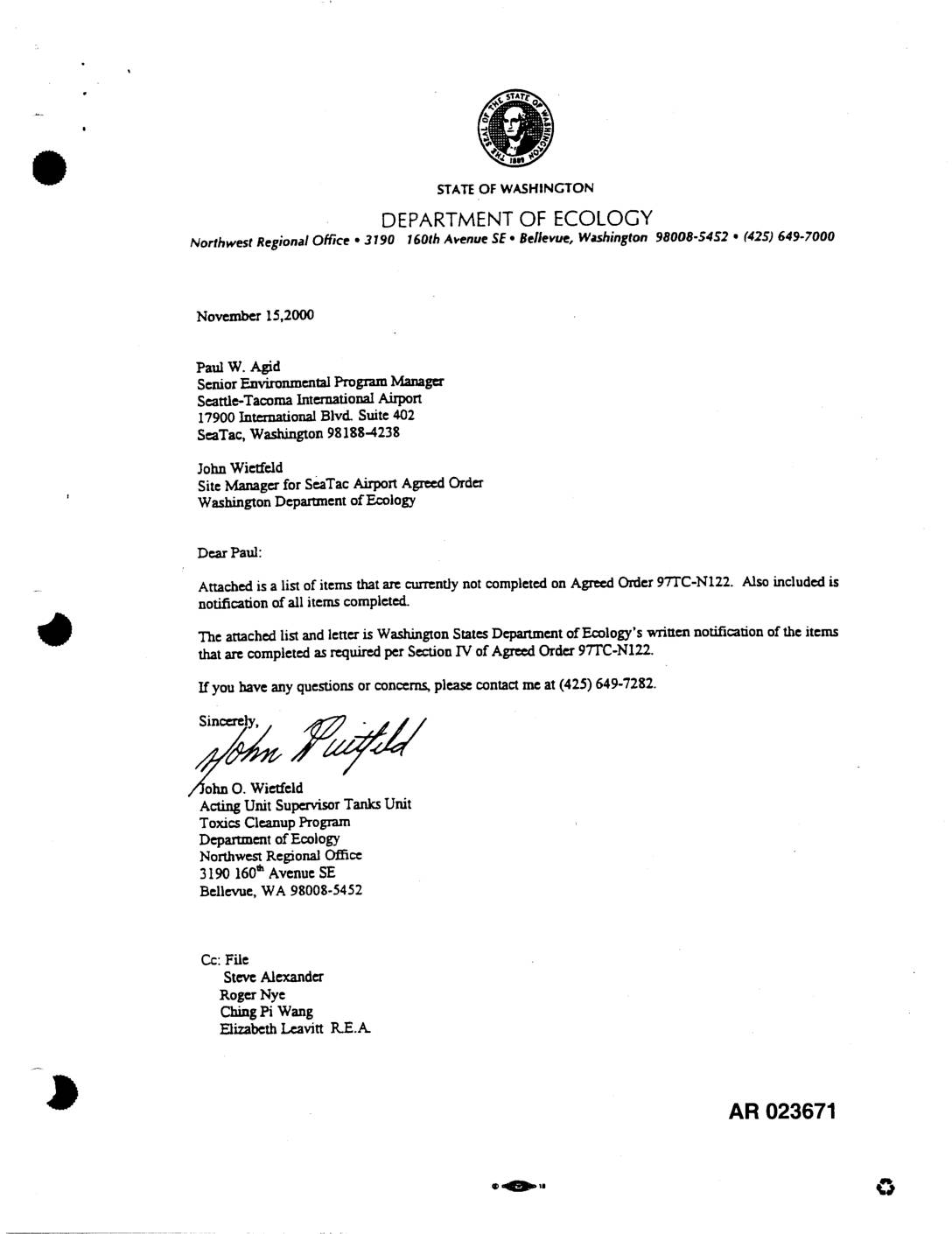
EXH AR023671: Ecology Letter — Agreed Order 97TC-N122 Task Completion Status
A November 2000 letter from the Washington State Department of Ecology to Seattle-Tacoma International Airport summarizes the completion status of environmental tasks required under Agreed Order 97TC-N122. The order mandated a comprehensive groundwater study of the Airport Operations and Maintenance Area (AOMA), including hydrogeological research, contamination mapping, and development of groundwater flow and contaminant transport models. While several research and data-collection tasks were completed, key items such as identifying unknown contamination sources, developing operational groundwater and transport models, and preparing a final Phase I Groundwater Study Report remained incomplete. -
 2000-11-15
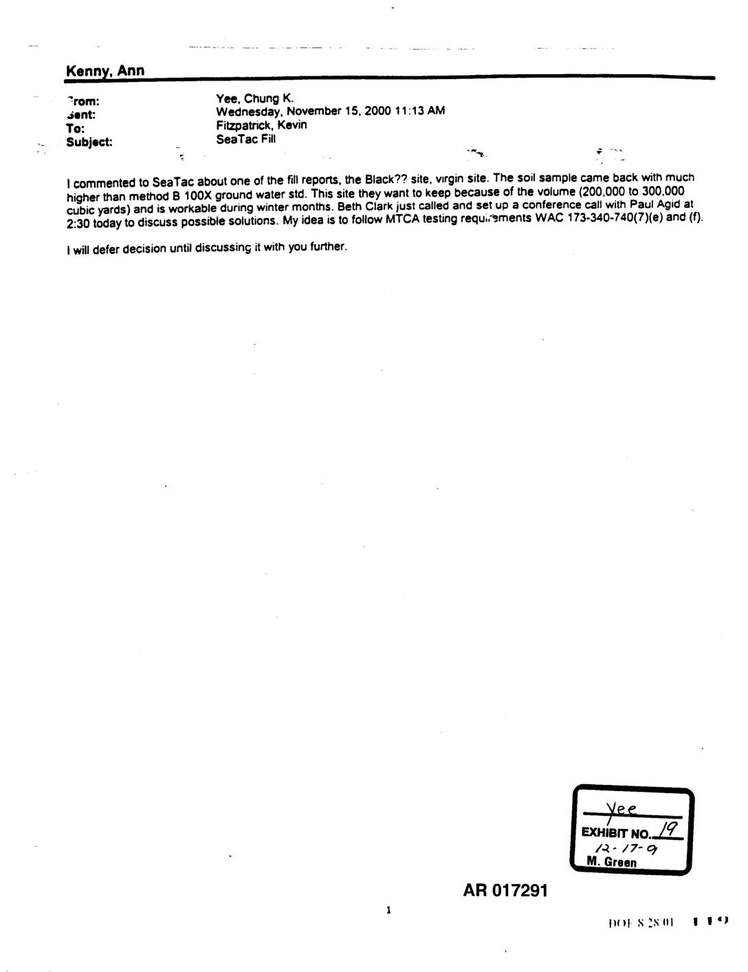
EXH AR017291: Email from Chung K. Yee to Kevin Fitzpatrick Regarding Sea-Tac Fill Dirt and MTCA Testing Requirements
Email dated November 15, 2000 from Chung K. Yee to Kevin Fitzpatrick regarding Sea-Tac fill dirt, specifically the ‘Black’ virgin site where soil samples exceeded Method B 100X groundwater standards under MTCA (Model Toxics Control Act). The site holds 200,000 to 300,000 cubic yards of fill and is workable during winter months. Beth Clark arranged