TagSea-Tac Airport(1855)
-
 2001-05-06
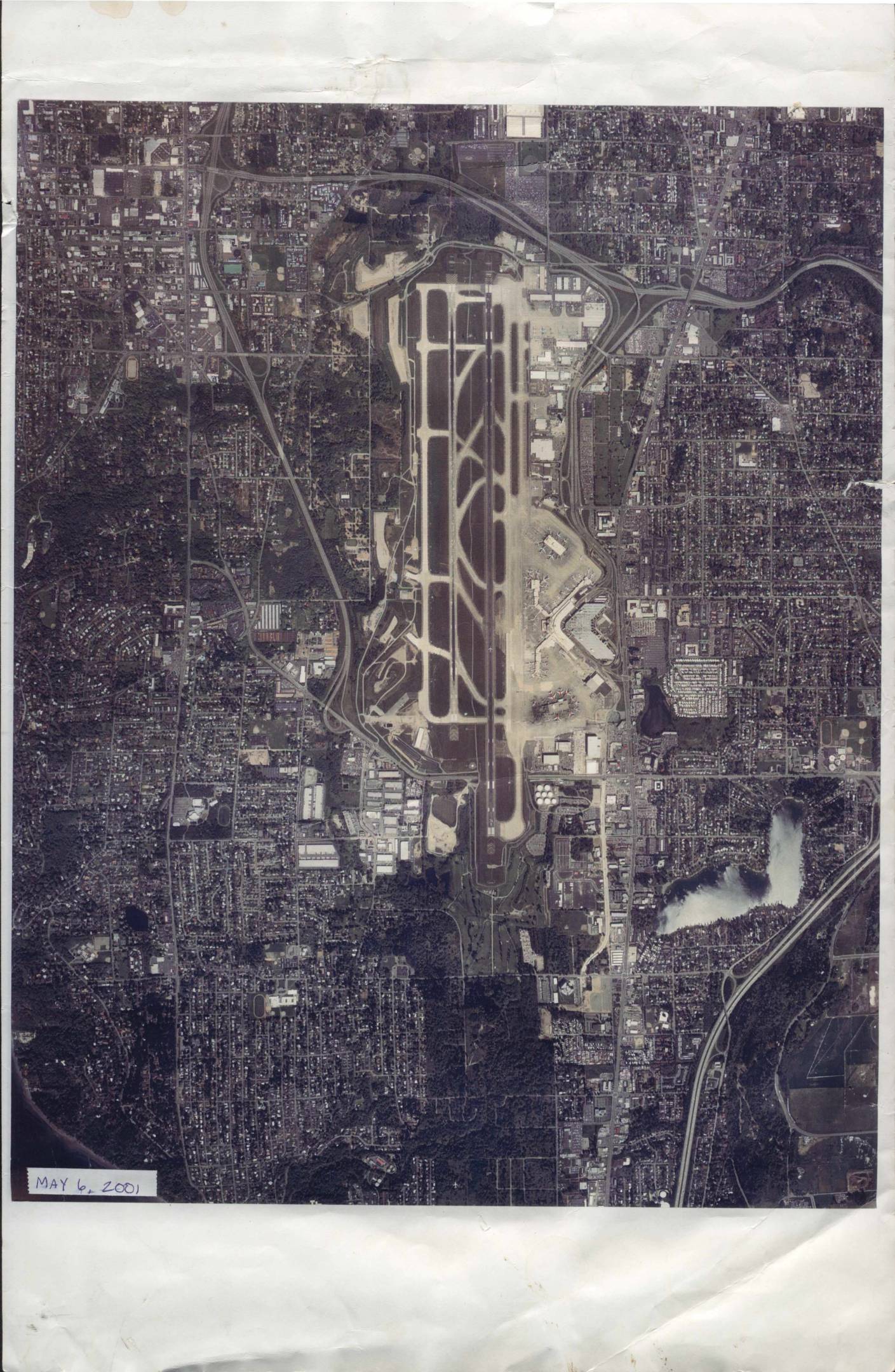
Sea-Tac Airport aerial photograph, May 6, 2001
An aerial photograph of Seattle-Tacoma International Airport (Sea-Tac) and its surrounding neighborhoods, taken on May 6, 2001, by Walker and Associates Photogrammetric and GIS Services of Seattle, WA. The image, printed at an approximate scale of 1 inch equals 1,700 feet, shows the airport's runways, taxiways, terminals, and the densely developed residential and commercial areas nearby. It is identified under negative number 1245 SEATAC PP-3 and work order number 26599, and is copyrighted 2001. -
 2001-05-05
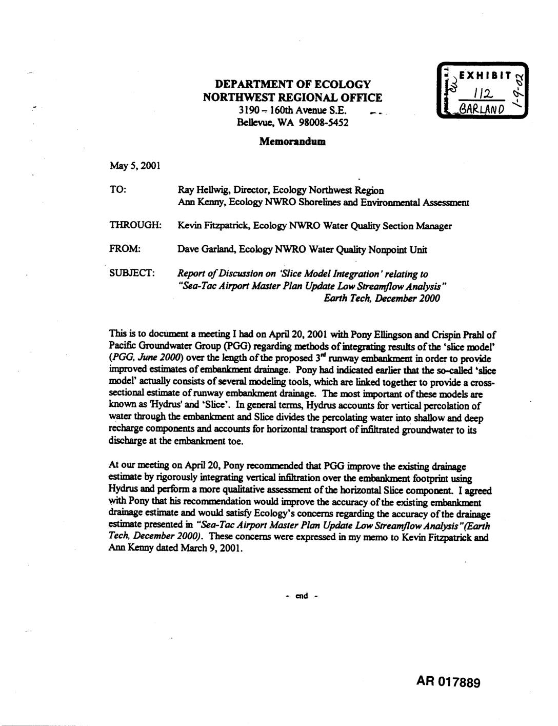
Exhibit 112: Ecology NWRO Memorandum on Slice Model Integration for Sea-Tac Airport Master Plan Update Low Streamflow Analysis
Memorandum dated May 5, 2001 from Dave Garland, Ecology NWRO Water Quality Nonpoint Unit, to Ray Hellwig and Ann Kenny, through Kevin Fitzpatrick, documenting an April 20, 2001 meeting with Pony Ellingson and Crispin Prahl of Pacific Groundwater Group (PGG) regarding ‘slice model integration’ for the proposed 3rd runway embankment at Sea-Tac Airport. Discusses Hydrus -
 2001-05-05
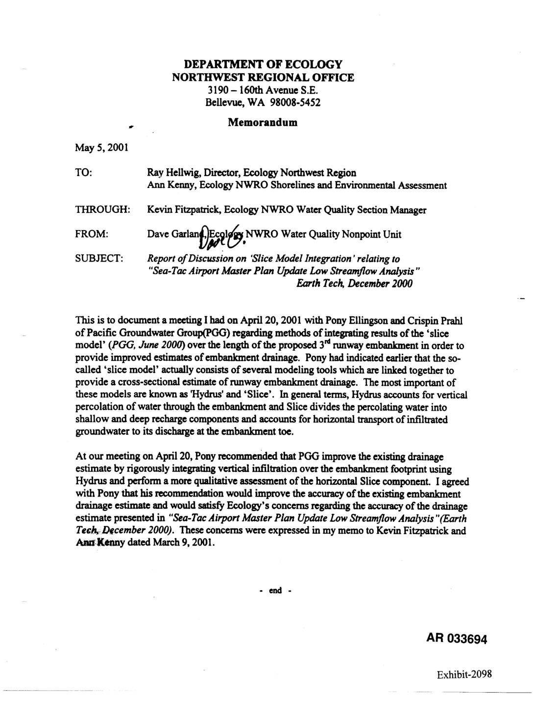
Exhibit 2098: Ecology Memorandum — Report of Discussion on Slice Model Integration Relating to Sea-Tac Airport Master Plan Update Low Streamflow Analysis
Memorandum dated May 5, 2001 from Dave Garland, Ecology NWRO Water Quality Nonpoint Unit, to Ray Hellwig and Ann Kenny, through Kevin Fitzpatrick, documenting an April 20, 2001 meeting with Pony Ellingson and Crispin Prahl of Pacific Groundwater Group (PGG) regarding the ‘slice model’ (PGG, June 2000) integration methods for estimating 3rd runway embankment drainage -
 2001-05-03
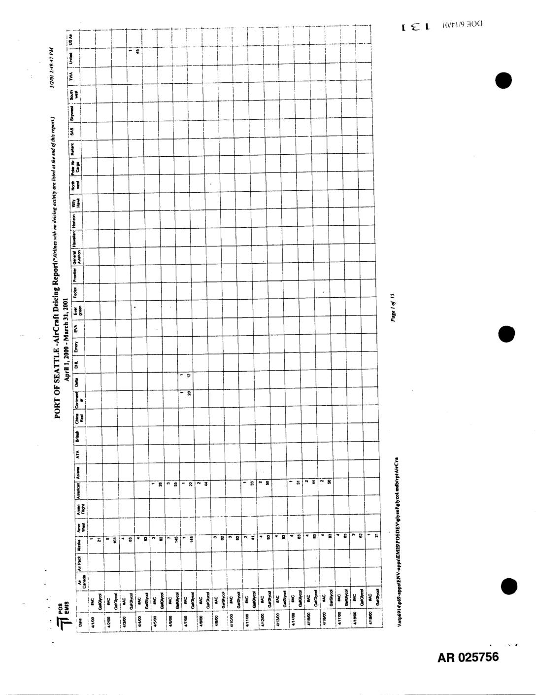
EXH AR025756: Aircraft Deicing RP Apr 1 2000–Mar 31 2001
This document is a Port of Seattle AirCraft Deicing Report covering the period April 1, 2000 through March 31, 2001, generated on May 2, 2001. It tracks deicing activity by date and airline carrier—including Alaska, American, Alaska Airlines, Delta, and others—recording the volumes of deicing fluid (BAC and GalGlycol) applied at Seattle-Tacoma International Airport. The multi-page report notes that airlines with no deicing activity are listed at the end of the report. -
 2001-05-01
EXH AR050379: Wetland Photographs and Maps — Master Plan Update Improvements, Seattle-Tacoma International Airport
Wetland photographs and maps prepared by Parametrix, Inc. for the Port Of Seattle, documenting wetlands and other Waters of the U.S. in the Miller Creek Basin near Seattle-Tacoma International Airport (STIA) as part of the Master Plan Update Improvements. AR 050379–050381. Includes photo point map showing delineated wetlands verified and not verified by ACOE (Army -
 2001-04-17
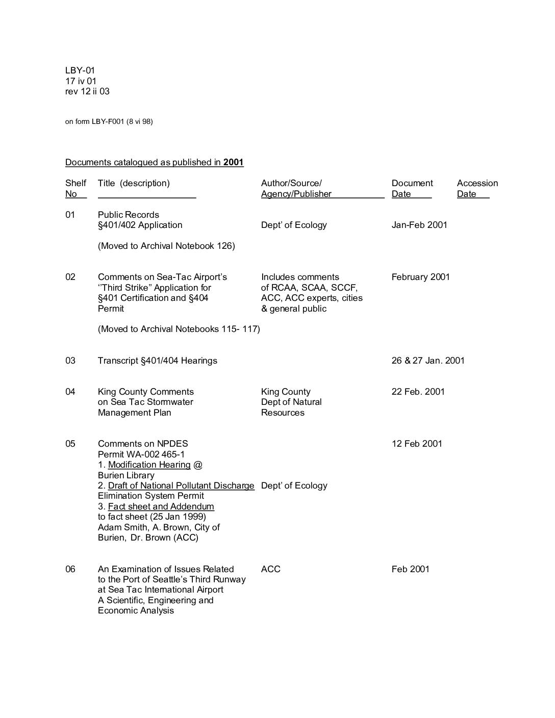
Documents catalogued as published in 2001
This is a catalogued index of documents from 2001 related to the proposed Third Runway at Seattle-Tacoma International Airport, covering regulatory filings, public comments, and environmental studies. It includes records from agencies such as the Department of Ecology, the Corps of Engineers, and King County, addressing topics like stormwater management, NPDES permits, groundwater studies, and the impact of the February 2001 Nisqually Earthquake on airport structures. The catalog serves as a reference guide directing researchers to archival notebooks and specific shelf locations where the full documents are stored. -
 2001-04-11
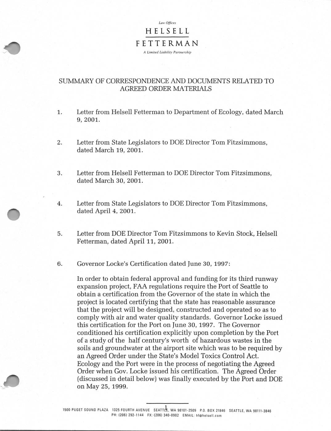
Summary of Correspondence and Documents Related to Agreed Order Materials, Department of Ecology and Port Of Seattle, 2001
This document summarizes correspondence and records related to environmental cleanup efforts at Seattle-Tacoma International Airport, covering the period from 1997 to 2001. It details how Governor Locke conditioned his 1997 certification for the airport's third runway expansion on the Port of Seattle completing a study of decades-worth of hazardous waste contamination in the soil and groundwater at the site. The records also trace the lengthy negotiations between the Port and the Washington State Department of Ecology to establish an Agreed Order under the Model Toxics Control Act, which was ultimately signed in May 1999. -
 2001-03-30
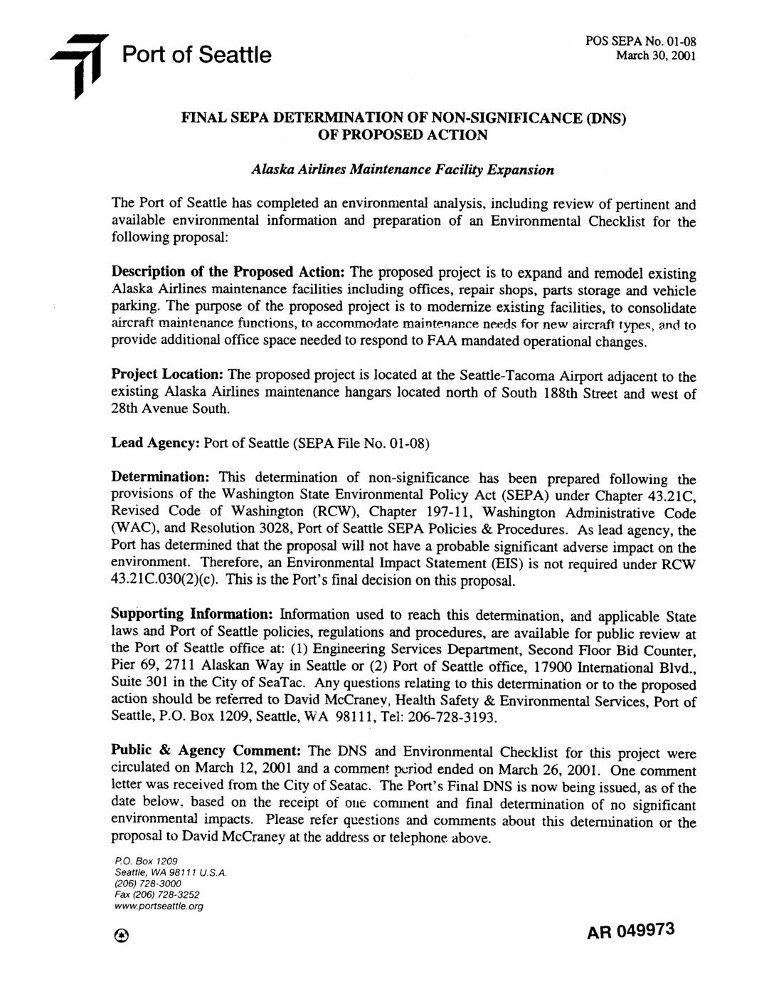
EXH AR049973: Final SEPA Determination of Non-Significance (DNS) — Alaska Airlines Maintenance Facility Expansion
Port of Seattle Final SEPA Determination of Non-Significance (DNS), POS SEPA No. 01-08, dated March 30, 2001, for the Alaska Airlines Maintenance Facility Expansion at Seattle-Tacoma Airport, north of South 188th Street and west of 28th Avenue South. The proposed project expands and remodels existing Alaska Airlines maintenance facilities including offices, repair shops, parts storage, -
 2001-03-26
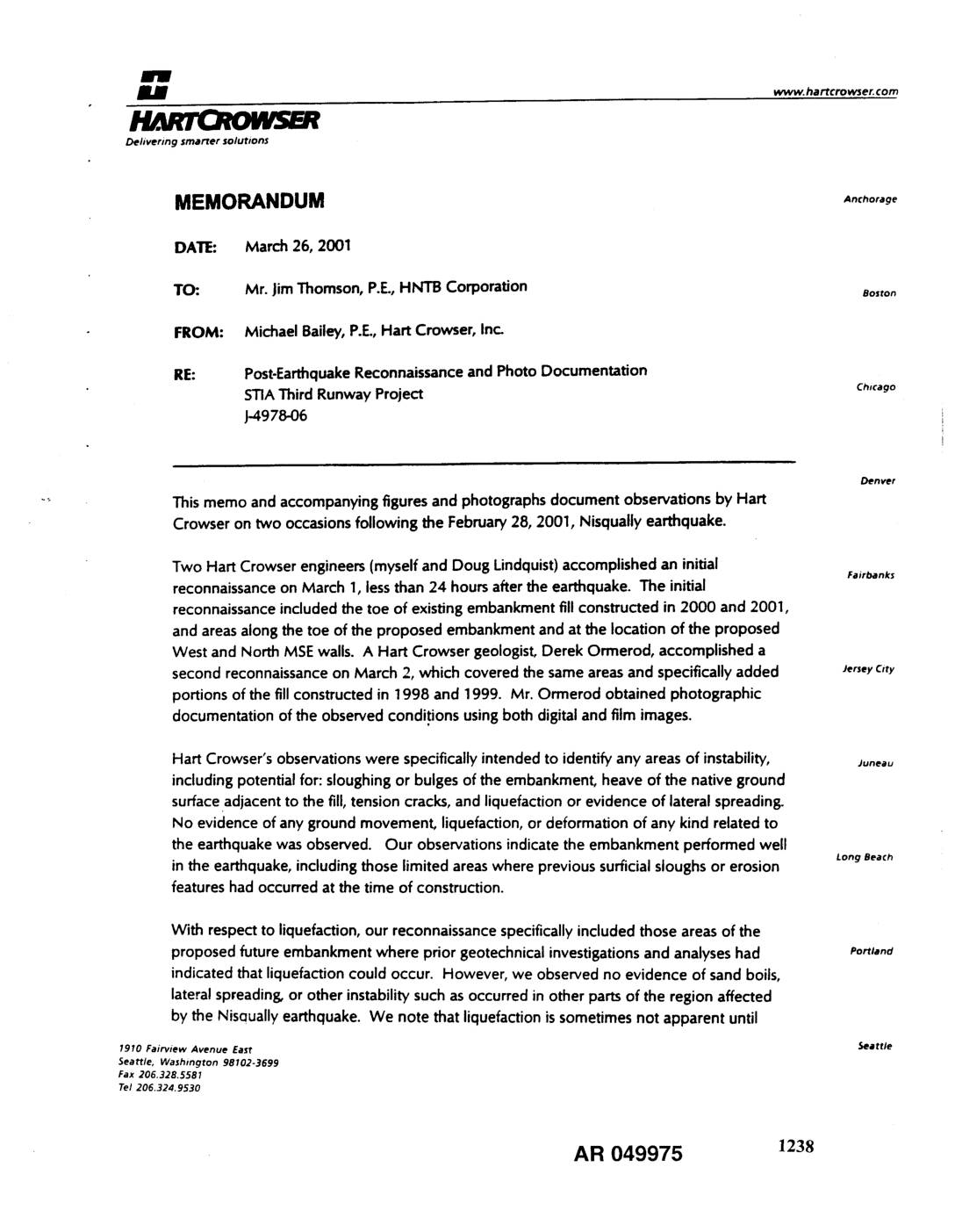
EXH AR049975: Post-Earthquake Reconnaissance and Photo Documentation — STIA Third Runway Project
Memorandum from Michael Bailey, P.E., Hart Crowser, Inc. to Jim Thomson, P.E., HNTB Corporation, dated March 26, 2001, documenting post-earthquake reconnaissance at the Sea-Tac Airport (STIA) Third Runway Project site (project J-4978-06) following the February 28, 2001, Nisqually earthquake. Two reconnaissance visits on March 1 and March 2, 2001 by Hart Crowser engineers Doug Lindquist -
 2001-03-26
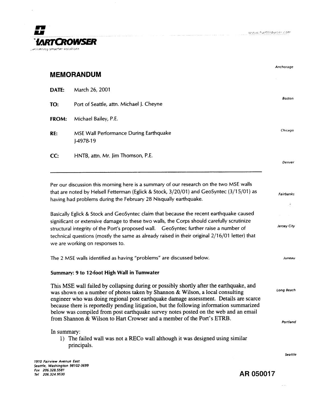
EXH AR050017: MSE Wall Performance During Earthquake — Hart Crowser Memorandum to Port Of Seattle
Hart Crowser memorandum (J-4978-19) from Michael Bailey, P.E., to Port Of Seattle attn. Michael J. Cheyne, CC HNTB attn. Jim Thomson, P.E., dated March 26, 2001, summarizing MSE (Mechanically Stabilized Earth) wall performance during the February 28 Nisqually earthquake. Discusses two MSE walls identified by Helsell Fetterman (Eglick & Stock 3/20/01) and GeoSyntec (3/15/01) as