TagSea-Tac Airport(1855)
-
 2001-03-21
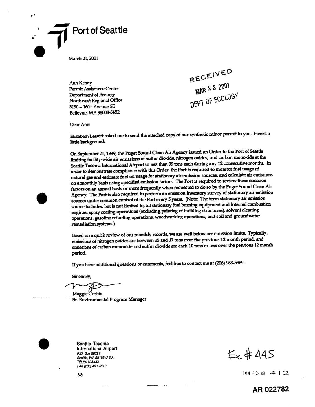
EXH 445: Letter to Ecology Transmitting Synthetic Minor Permit and PSCAA Order No. 7777 STIA Air Emissions
In September 1999, the Puget Sound Clean Air Agency issued an order limiting facility-wide air emissions of sulfur dioxide, nitrogen oxides, and carbon monoxide at Seattle-Tacoma International Airport to less than 99 tons each per any 12-month period. The Port of Seattle is required to monitor fuel usage, calculate monthly emissions using specified factors, and maintain rolling records for at least five years. A March 2001 letter from the Port's Environmental Program Manager confirms emissions were well within limits, with nitrogen oxides typically running 15–17 tons and both carbon monoxide and sulfur dioxide at 10 tons or less over the previous 12-month period. -
 2001-03-21
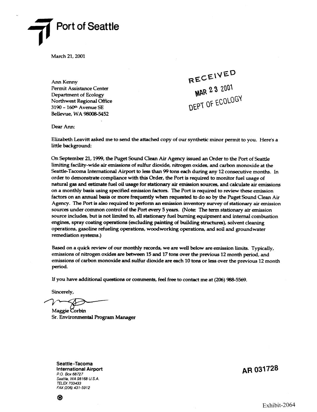
EXH AR031728: Port Of Seattle Letter to Ecology Transmitting Synthetic Minor Permit and PSCAA Order for Sea-Tac Airport Air Emissions
Letter dated March 21, 2001 from Maggie Corbin, Sr. Environmental Program Manager, Port Of Seattle Seattle-Tacoma International Airport, to Ann Kenny at the Washington Department of Ecology Northwest Regional Office, transmitting a synthetic minor permit. Background: Puget Sound Clean Air Agency (PSCAA) issued Order dated September 21, 1999 (Construction No. 7777, Registration No. 21408) limiting -
 2001-03-15
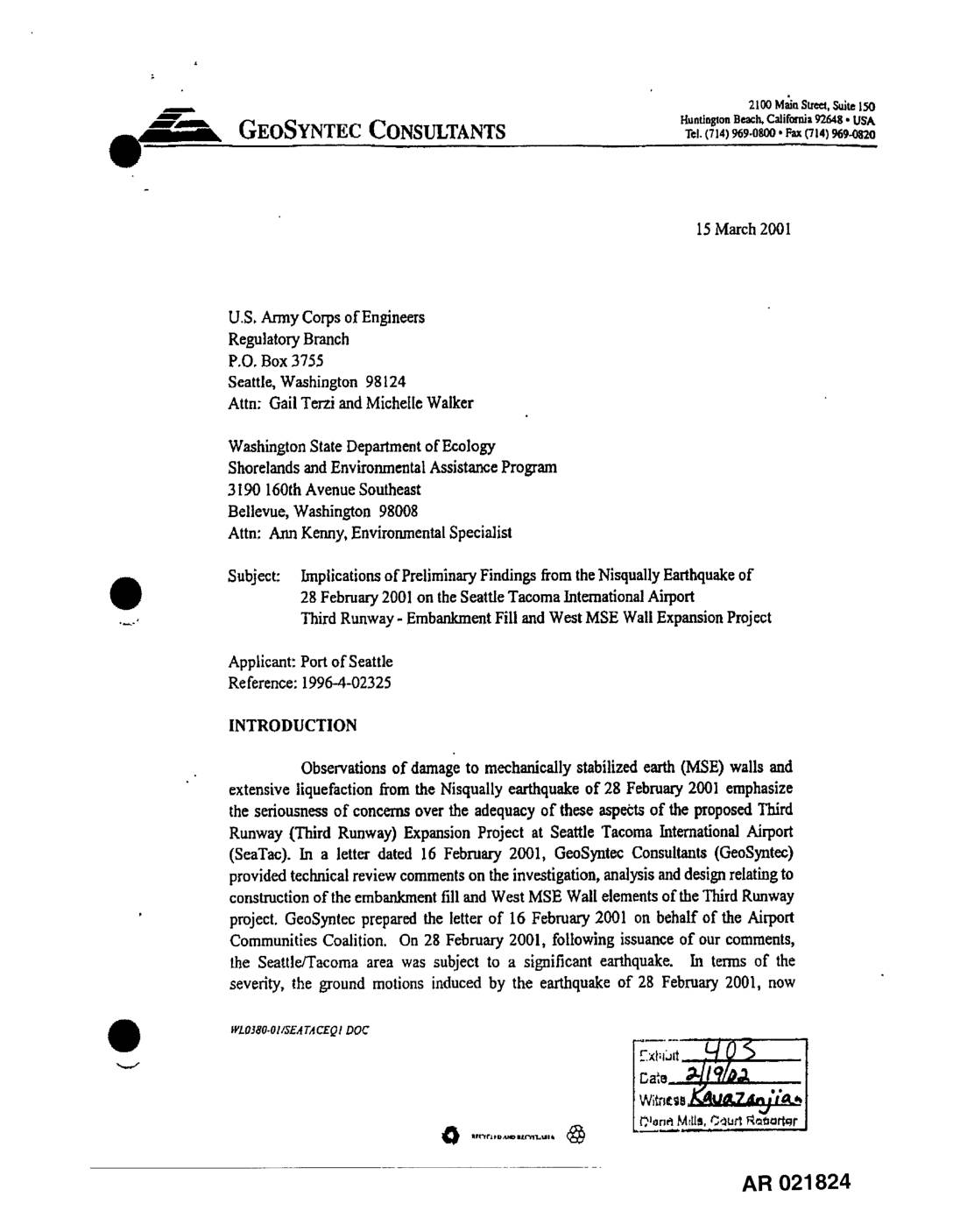
EXH 403: GeoSyntec Letter to Army Corps & WA Ecology — Nisqually Earthquake Implications STIA Third Runway MSE Wall & Embankment Fill
Following the Nisqually earthquake of February 28, 2001, GeoSyntec Consultants wrote to the U.S. Army Corps of Engineers and Washington State Department of Ecology raising serious concerns about the seismic safety of the proposed Third Runway expansion at Seattle-Tacoma International Airport. The letter highlighted that the earthquake caused damage to mechanically stabilized earth (MSE) walls and widespread liquefaction despite being only a moderate event, reinforcing earlier warnings about flaws in the project's seismic design criteria and ground motion analysis. GeoSyntec argued that the airport's role as a regional emergency lifeline demands higher safety standards than those applied to ordinary residential structures. -
 2001-03-14
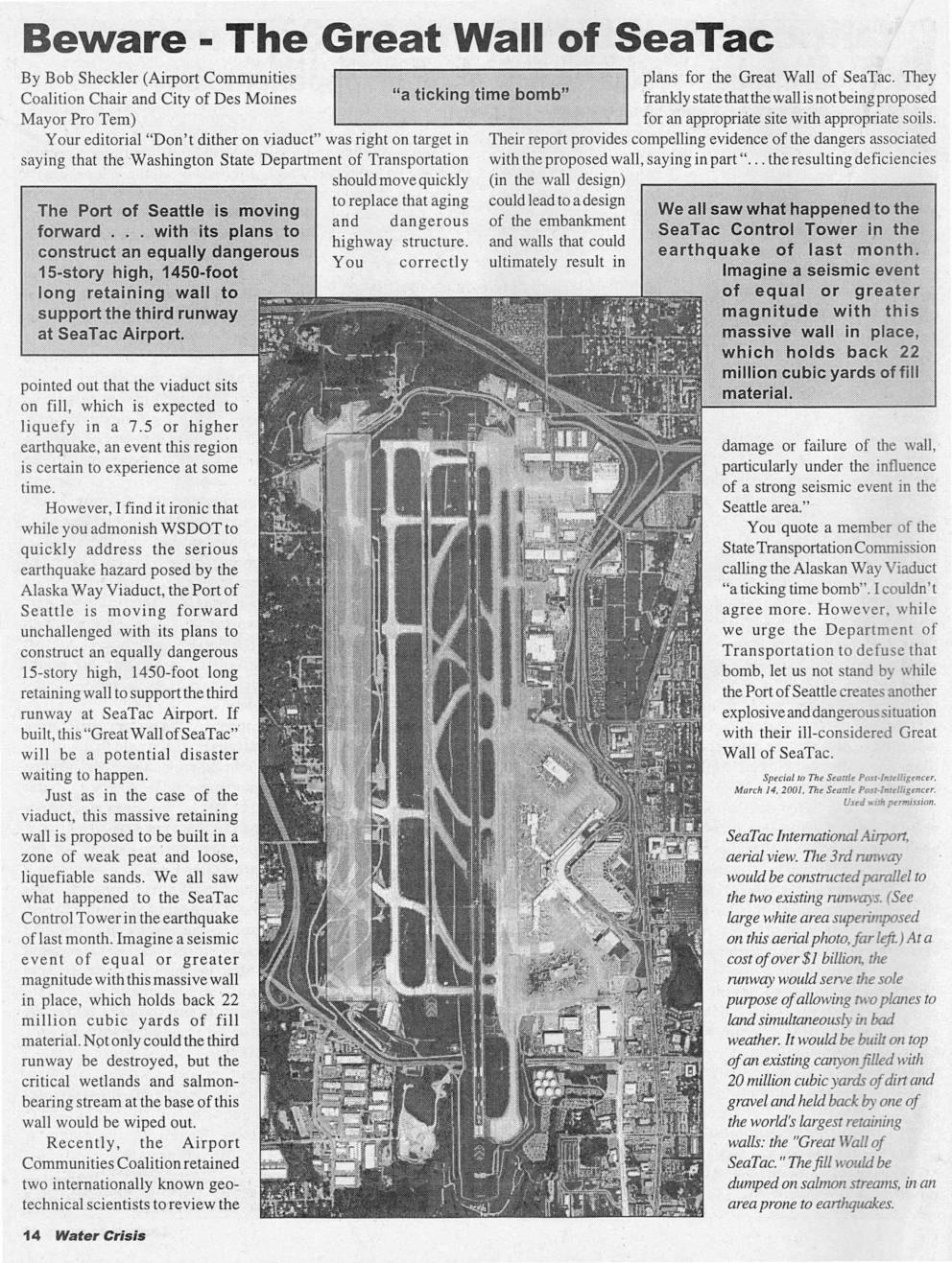
Beware – The Great Wall of Sea-Tac and Coalition appeals permit for 3rd runway
Two 2001 Seattle Post-Intelligencer articles raise safety and environmental concerns about SeaTac Airport's proposed third runway. The first warns that a planned 15-story, 1,450-foot retaining wall built on weak, earthquake-prone soils could catastrophically fail in a seismic event, threatening wetlands and salmon-bearing streams. The second reveals that state officials approved a key water-quality permit for the runway without following their own attorney's advice to secure a water right, prompting the Airport Communities Coalition to appeal the permit and allege political pressure was driving the project forward. -
 2001-03-09
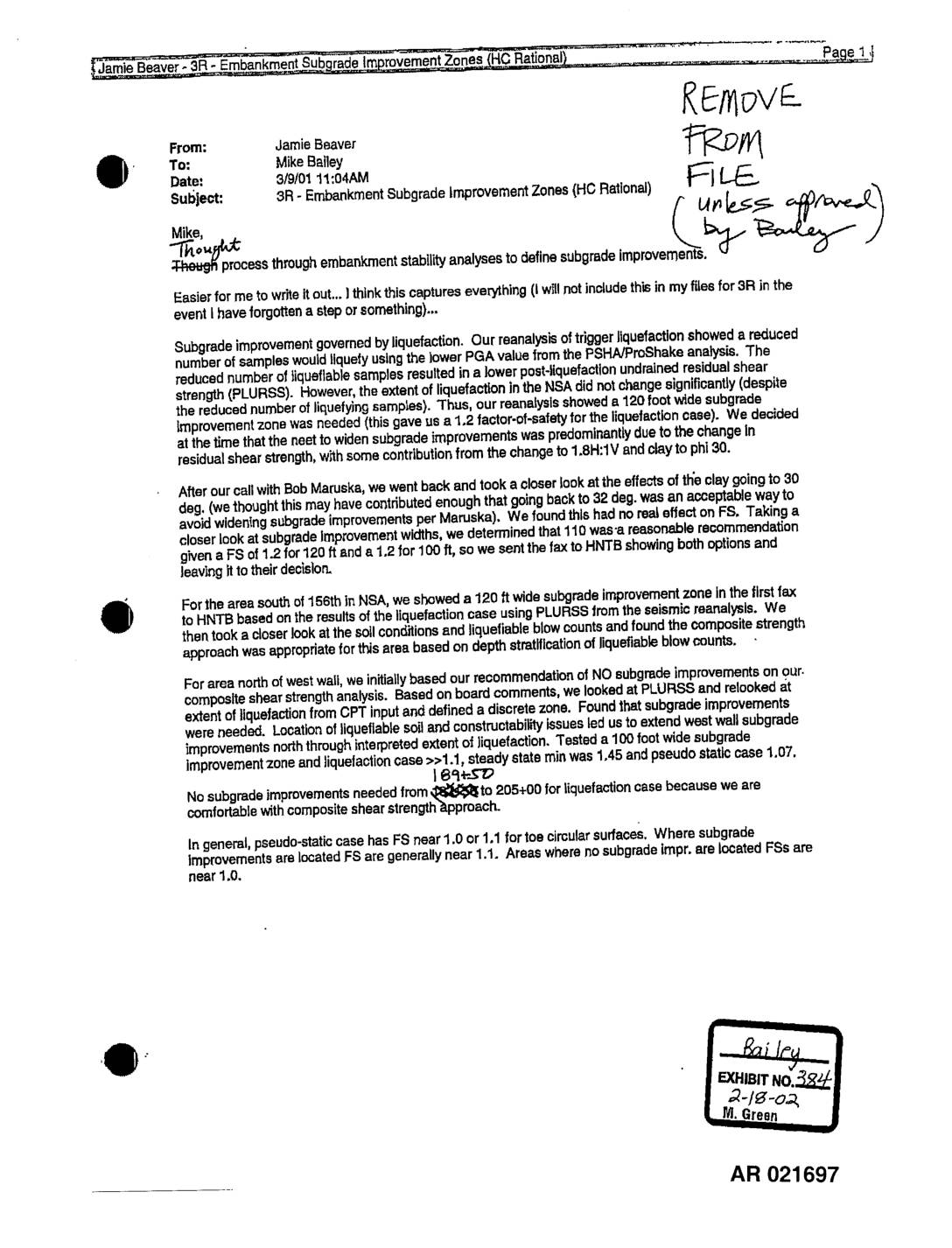
EXH 384: Email Beaver to Bailey — 3R Embankment Subgrade Improvement Zones HC Rational
This internal engineering memo from Jamie Beaver to Mike Bailey, dated March 9, 2001, outlines the process used to determine subgrade improvement zones for a 3R embankment stability project. The analysis focused on liquefaction risks, using post-liquefaction undrained residual shear strength (PLURSS) values derived from seismic reanalysis, ultimately recommending improvement zone widths of 100–120 feet depending on location. The memo notes that factors of safety for the liquefaction and pseudo-static cases generally ranged from 1.0 to 1.2 across various zones. -
 2001-03-06
EXH AR049967: Addendum to STIA North Electric Service Upgrade Determination of Non-Significance
Port of Seattle SEPA addendum (POS SEPA No. 01-05, AR 049967) dated March 6, 2001, for the Seattle-Tacoma International Airport North Electric Service Upgrade project. Documents a revised proposal for the North Main Service Point site location and 12.5 kV cable route connecting to the Bow Lake Substation via International Boulevard near South 176th Street. -
 2001-03-05
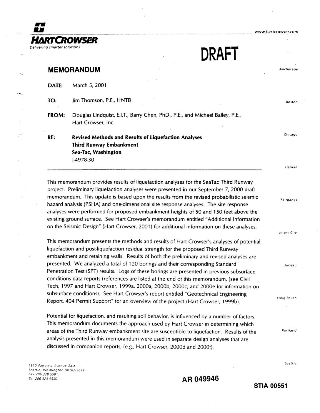
EXH AR049946: Revised Methods and Results of Liquefaction Analyses, Third Runway Embankment, Sea-Tac, Washington
Draft memorandum dated March 5, 2001 from Douglas Lindquist E.I.T., Barry Chen PhD P.E., and Michael Bailey P.E. of Hart Crowser Inc. to Jim Thomson P.E. of HNTB, project J-4978-30. Presents revised methods and results of liquefaction analyses for the SeaTac Third Runway embankment, based on revised probabilistic seismic hazard analysis (PSHA) and one-dimensional site -
 2001-03-01
EXH AR050023: Draft Conceptual Reclamation Permit Package, Borrow Areas 3 and 4, Sea-Tac International Airport
Draft Conceptual Reclamation Permit Package for Borrow Areas 3 and 4 at Sea-Tac International Airport, City of SeaTac, Washington. Prepared by Hart Crowser for Port Of Seattle for presentation to the Washington Department of Natural Resources (DNR), March 1, 2001, project J-4978-62. Document covers site preparation activities, mining practices, operating plan, conceptual reclamation plan, revegetation -
 2001-02-22
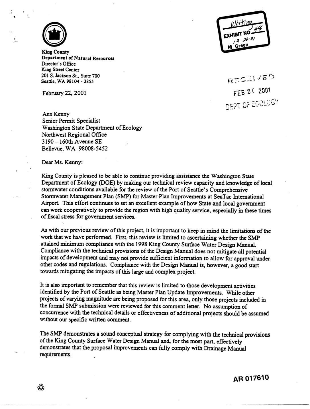
Exhibit 48: King County Letter to Ecology on Port Of Seattle Stormwater Management Plan Review for Sea-Tac Airport Master Plan Improvements
Letter dated February 22, 2001 from Pam Bissonnette, Director, King County Department of Natural Resources, to Ann Kenny, Senior Permit Specialist, Washington State Department of Ecology Northwest Regional Office, regarding King County’s technical review of the Port Of Seattle’s Comprehensive Stormwater Management Plan (SMP) for Master Plan Improvements at SeaTac International Airport. The letter references -
 2001-02-22
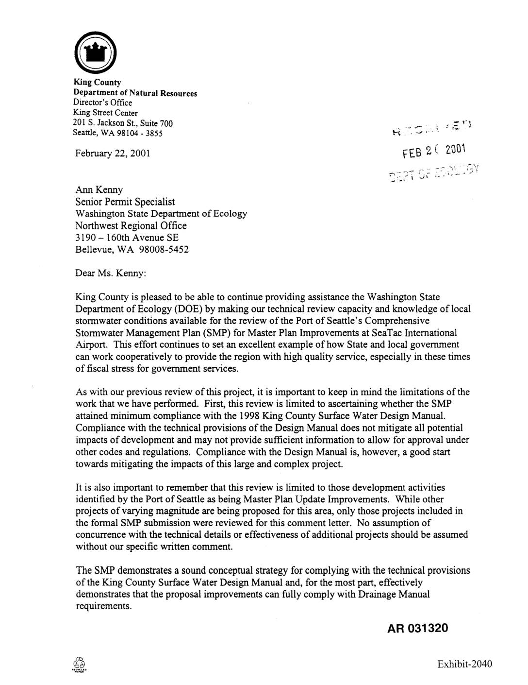
Exhibit 2040: King County Letter to Ecology Reviewing Port Of Seattle Comprehensive Stormwater Management Plan for Sea-Tac Airport Master Plan Improvements
Letter dated February 22, 2001 from Pam Bissonnette, Director of King County Department of Natural Resources, to Ann Kenny, Senior Permit Specialist at Washington State Department of Ecology (DOE) Northwest Regional Office, regarding King County’s technical review of the Port Of Seattle’s Comprehensive Stormwater Management Plan (SMP) for Master Plan Improvements at SeaTac International Airport.