TagSea-Tac Airport(1855)
-
 2001-02-16
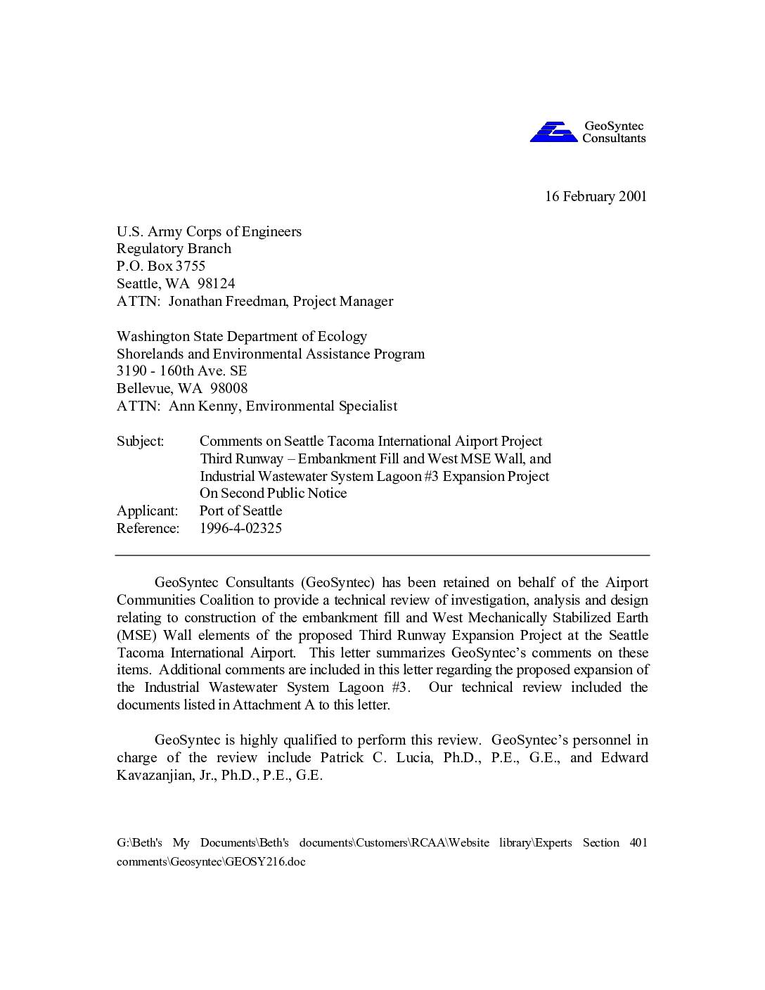
Comments on Seattle Tacoma International Airport Project: Third Runway – Embankment Fill and West MSE Wall, and Industrial Wastewater System Lagoon #3 Expansion Project on Second Public Notice
In February 2001, engineering firm GeoSyntec Consultants submitted a technical review letter on behalf of the Airport Communities Coalition, raising serious concerns about the proposed Third Runway expansion at Seattle-Tacoma International Airport. The review identified significant deficiencies in the geotechnical investigation and analysis supporting construction of the embankment fill and West MSE Wall, including insufficient soil strength data and inadequate seismic safety assessments. GeoSyntec warned that the proposed design — which would result in the world's tallest MSE wall built over weak, potentially unstable soils in a seismically active region — could fail under earthquake conditions, threatening both airport operations and nearby natural resources. -
 2001-02-15
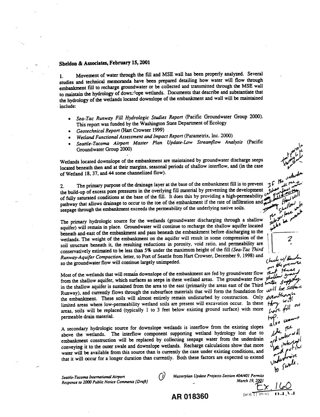
EXH AR018360: Sheldon & Associates Response to 2000 Public Notice Comments — Water Movement Through Fill and MSE Wall
Sheldon & Associates letter dated February 15, 2001, responding to public notice comments regarding the Seattle-Tacoma International Airport Masterplan Update Projects Section 404/401 Permits. Addresses movement of water through embankment fill and Mechanically Stabilized Earth (MSE) wall, drainage layer design to prevent excess pore pressures, rock underdrain clogging prevention using Group 1A filter material, shallow -
 2001-02-08
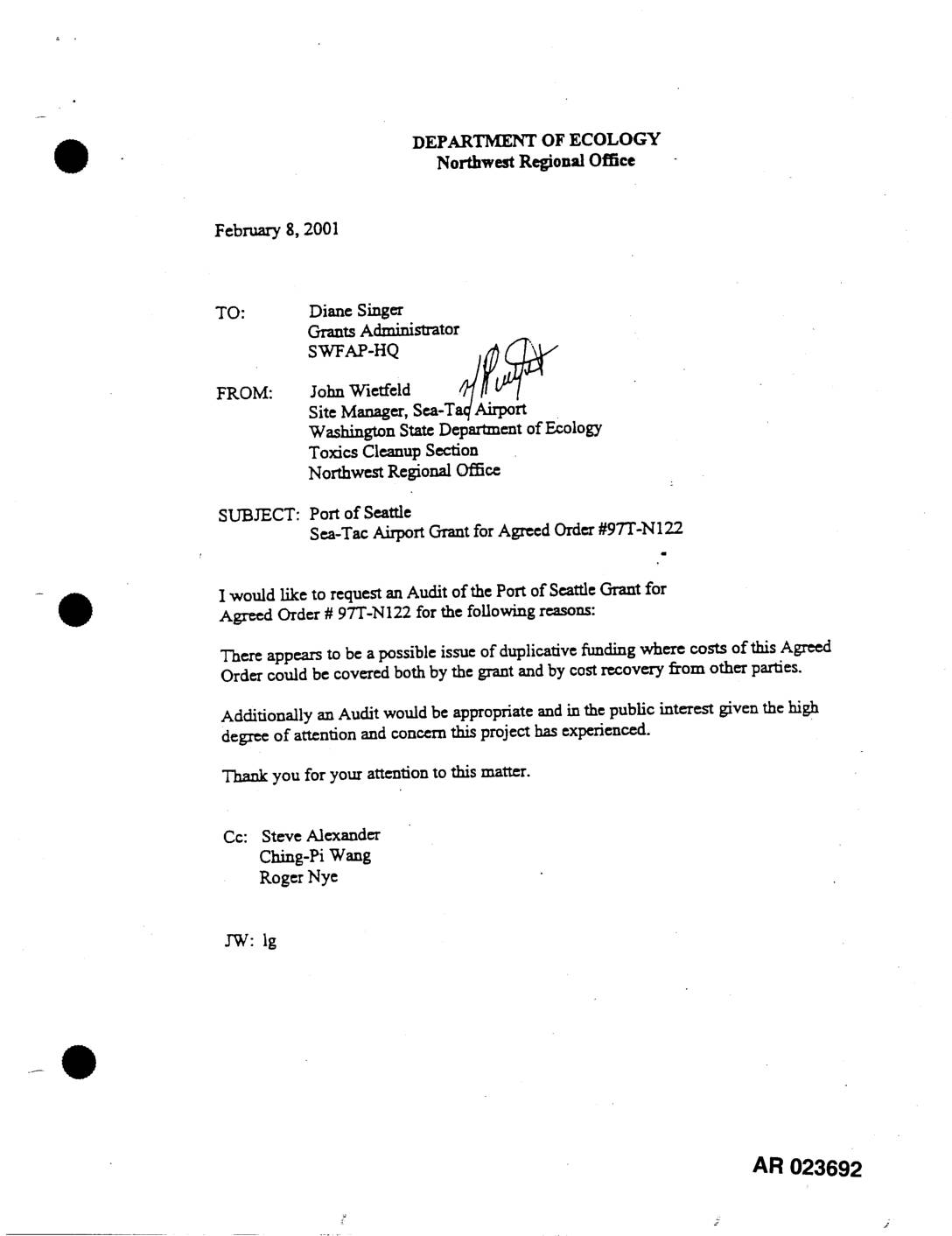
EXH AR023692: Ecology Audit Request, Grant, Agreed Order #97T-N122, STIA
In February 2001, a Washington State Department of Ecology site manager requested an audit of a Port of Seattle grant (Grant No. G0000052) tied to Agreed Order #97T-N122, citing concerns about potential duplicate funding where costs could be covered by both the grant and cost recovery from other parties. The grant, worth up to $861,000 (split 50/50 between state and local funds), was issued to support a Phase 1 groundwater study at Seattle-Tacoma International Airport (Sea-Tac), investigating contamination from jet fuel and petroleum products released from underground storage tanks and fuel distribution systems. The study aimed to model groundwater flow and assess risks to nearby public drinking water wells and surface water bodies. -
 2001-02-07
Exhibit 2059: Email and Memorandum on Retaining Wall/Slope Alternatives to Reduce Impacts to Miller Creek, Third Runway at Sea-Tac Airport
Exhibit 2059 (AR 031711–031713, ECY00010776–10778). Email from Gus Ordonez to Ann Kenny dated February 7, 2001, transmitting a memorandum from Jerald LaVassar, M.S., P.E. to Tom Luster reviewing the report ‘Evaluation of Retaining Wall/Slope Alternatives to Reduce Impacts to Miller Creek, Embankment Station 174+00 to 186+00’ for the Third Runway project at Sea-Tac International Airport. -
 2001-01-28
EXH AR053366: Handwritten Field Notes — Ace Airport View Site Visit, January 28, 2001
Handwritten field notebook entries dated 1/28/01 documenting a site visit to Ace Airport View (DM1 – Monitoring Station) near Des Moines, referencing Des Moines Creek, SDS 1 outfall into SW associated wetlands, steep side terrain, oil boom present in unit 2, turbid water, black stones, water from outfall significantly turbid, Dr. Strand took samples at -
 2001-01-25
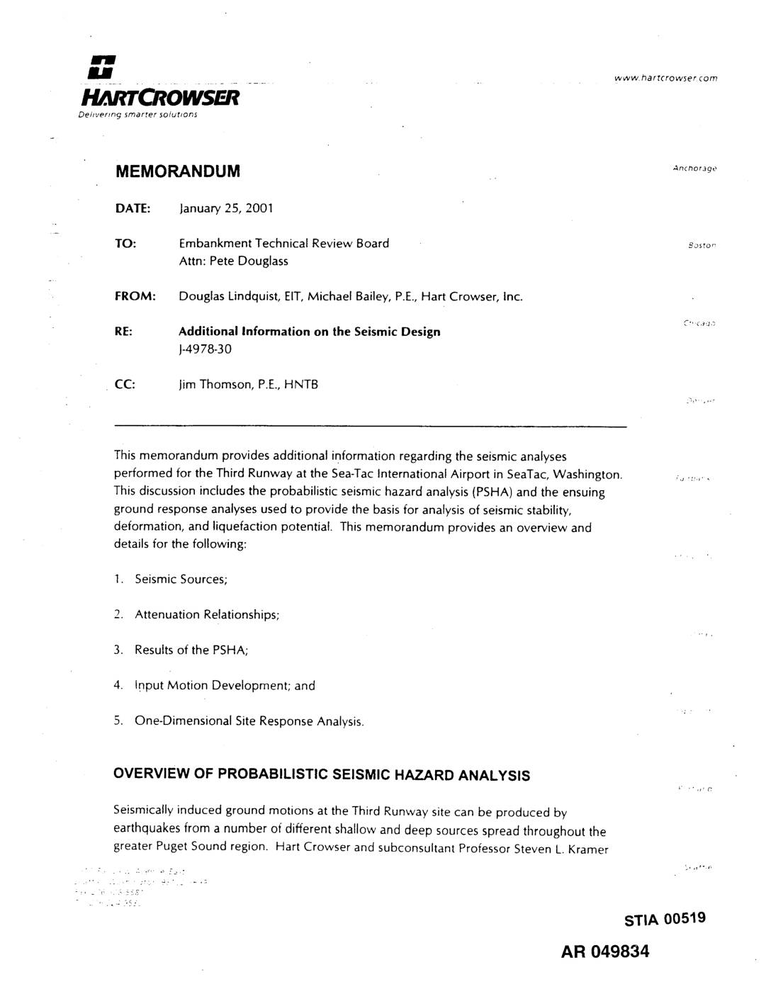
EXH AR049834: Hart Crowser Memorandum — Additional Information on the Seismic Design for Sea-Tac International Airport Third Runway
Memorandum dated January 25, 2001 from Douglas Lindquist (EIT) and Michael Bailey (P.E.) of Hart Crowser, Inc. to the Embankment Technical Review Board (Attn: Pete Douglass), project J-4978-30, CC to Jim Thomson (P.E., HNTB). Provides additional information on seismic analyses for the Third Runway at Seattle-Tacoma International Airport (STIA) in SeaTac, Washington. Covers probabilistic seismic -
 2001-01-21
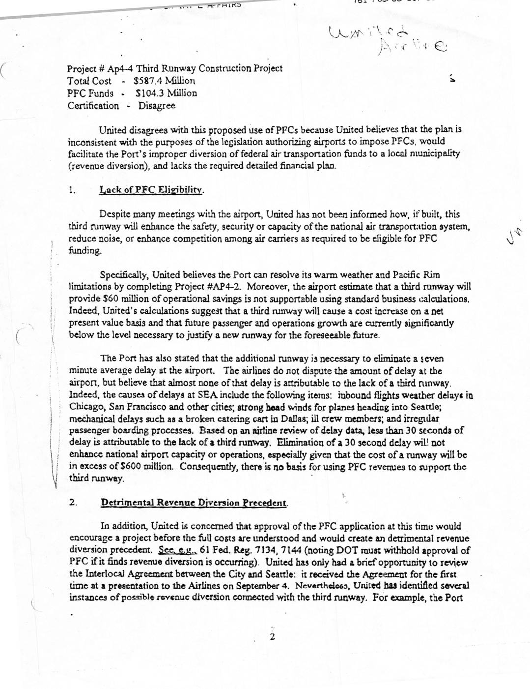
Project AP4-4: United Airlines Disagreement with Third Runway Construction Project PFC Funding
United Airlines formally disagreed with a proposed use of Passenger Facility Charge (PFC) funds totaling $104.3 million toward a $587.4 million third runway construction project at Seattle-Tacoma International Airport. The airline argued that the runway would not meaningfully improve national air transportation capacity, safety, or competition, noting that less than 30 seconds of average delay could actually be attributed to the absence of a third runway. United also raised concerns about potential improper diversion of federal transportation funds and warned that approving the project before its full costs were understood would set a harmful precedent. -
 2001-01-21
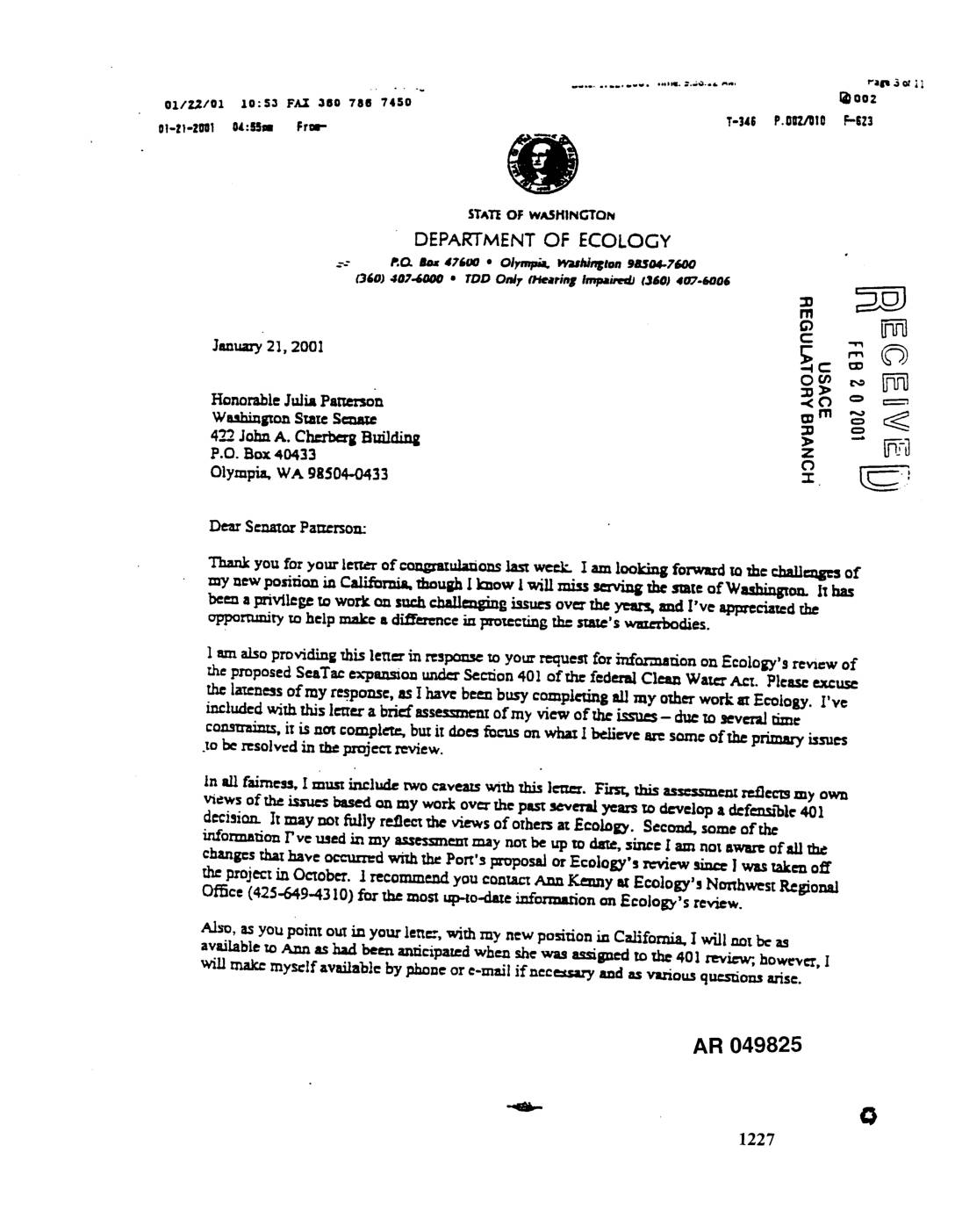
EXH AR049825: Ecology Letter to Senator Julia Patterson on Sea-Tac Airport Expansion Section 401 Water Quality Certification Review
Letter dated January 21, 2001 from Tom Luster, Washington State Department of Ecology, to Senator Julia Patterson of the Washington State Senate, responding to her request for information on Ecology’s Section 401 Clean Water Act review of the proposed SeaTac Airport expansion. Luster provides a brief assessment of key issues including antidegradation requirements, beneficial uses, -
 2001-01-16
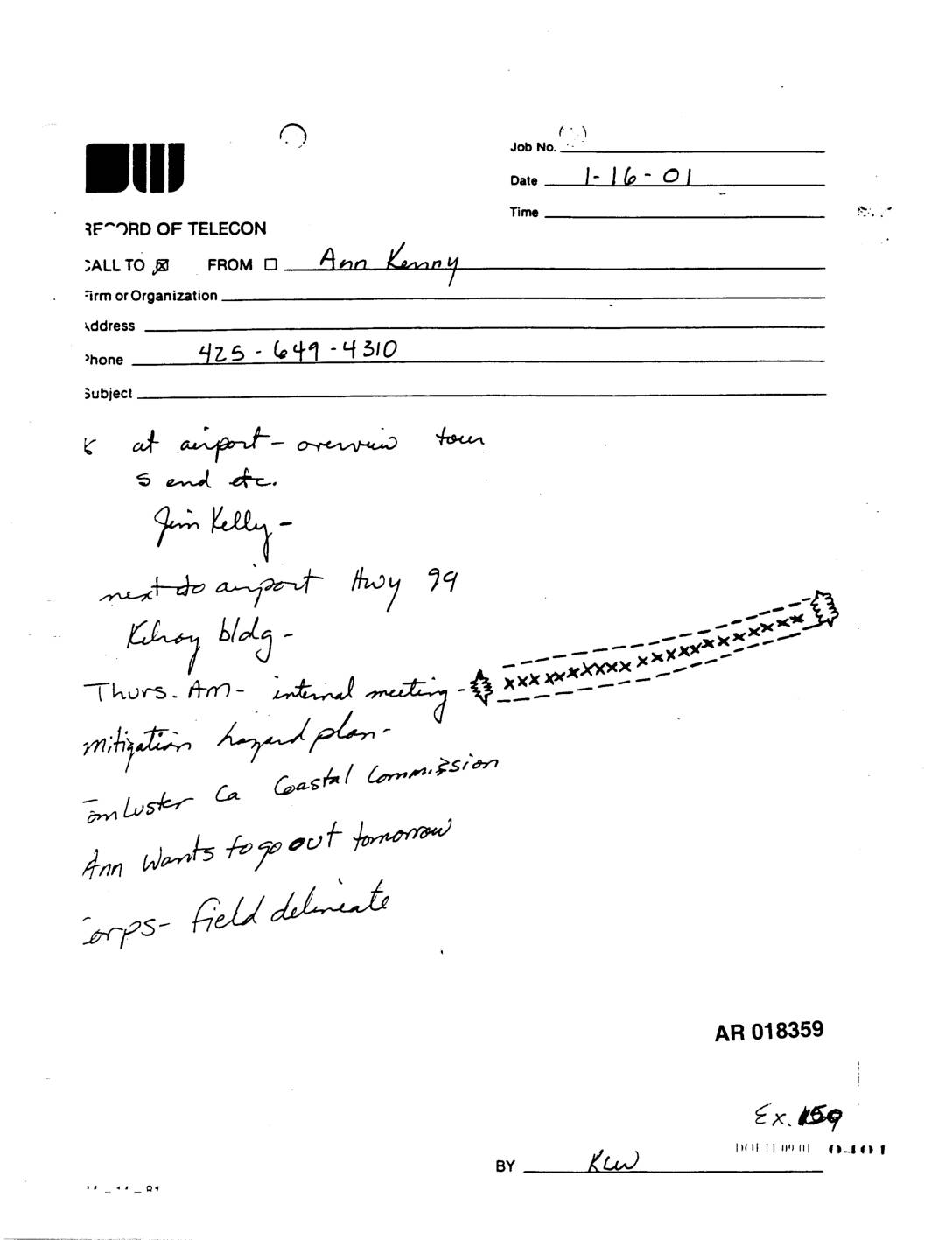
Exhibit 159: Record of Telecon — Ann Kenny, Airport Overview Tour and Internal Meeting Notes
Record of telecon dated 1-16-01, call from Ann Kenny (phone 425-649-4310) regarding airport overview tour, field delineation by Corps of Engineers, Jim Kelly, Kilroy building next to airport on Hwy 99, Thursday AM internal meeting, mitigation hazard plan, and California Coastal Commission. Ann wants to go out tomorrow for Corps field delineation. AR 018359, Exhibit -
 2001-01-08
Exhibit 2137: Examining the Effects of Runway Deicing on Dissolved Oxygen in Receiving Waters: Results of the 1999-2000 Winter Season — Volume 2, Technical Appendices
Port of Seattle technical appendices (Volume 2) to the study examining effects of runway deicing on dissolved oxygen (DO) in receiving waters at Seattle-Tacoma International Airport, covering the 1999-2000 winter season. Includes QA/QC and field methods for Hydrolab instruments, Northwest Ponds DO profile data collection, continuous monitoring data assessment, tracer plots for each monitoring location,