TagWalker & Associates(5)
-
 2002-02-19
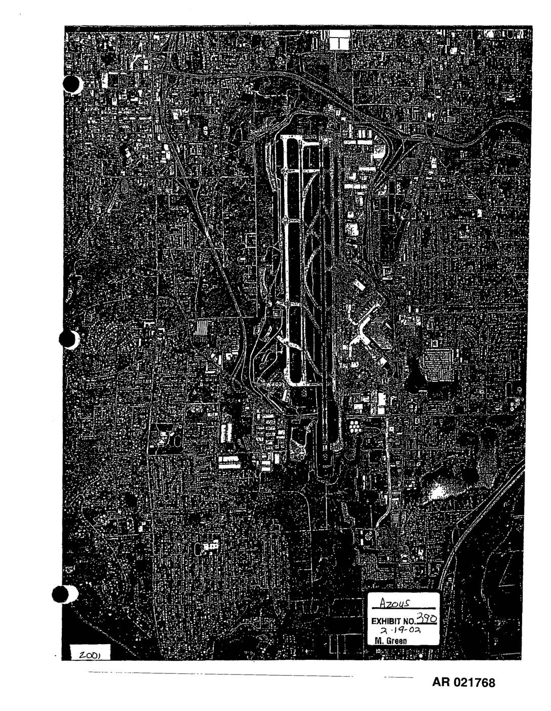
EXH 390: STIA Aerial Photographs 1997 2001
These two aerial photographs, dated 1997 and 2001, show overhead views of Seattle-Tacoma International Airport (Sea-Tac) and its surrounding neighborhoods. The images, produced by Walker & Associates and entered as Exhibit 390 in a February 2002 proceeding, document the airport's runway layout and adjacent residential and commercial areas over time. They appear to be part of an administrative record (AR 021768–021769) related to airport noise policy or land-use impact analysis. -
 2001-05-06
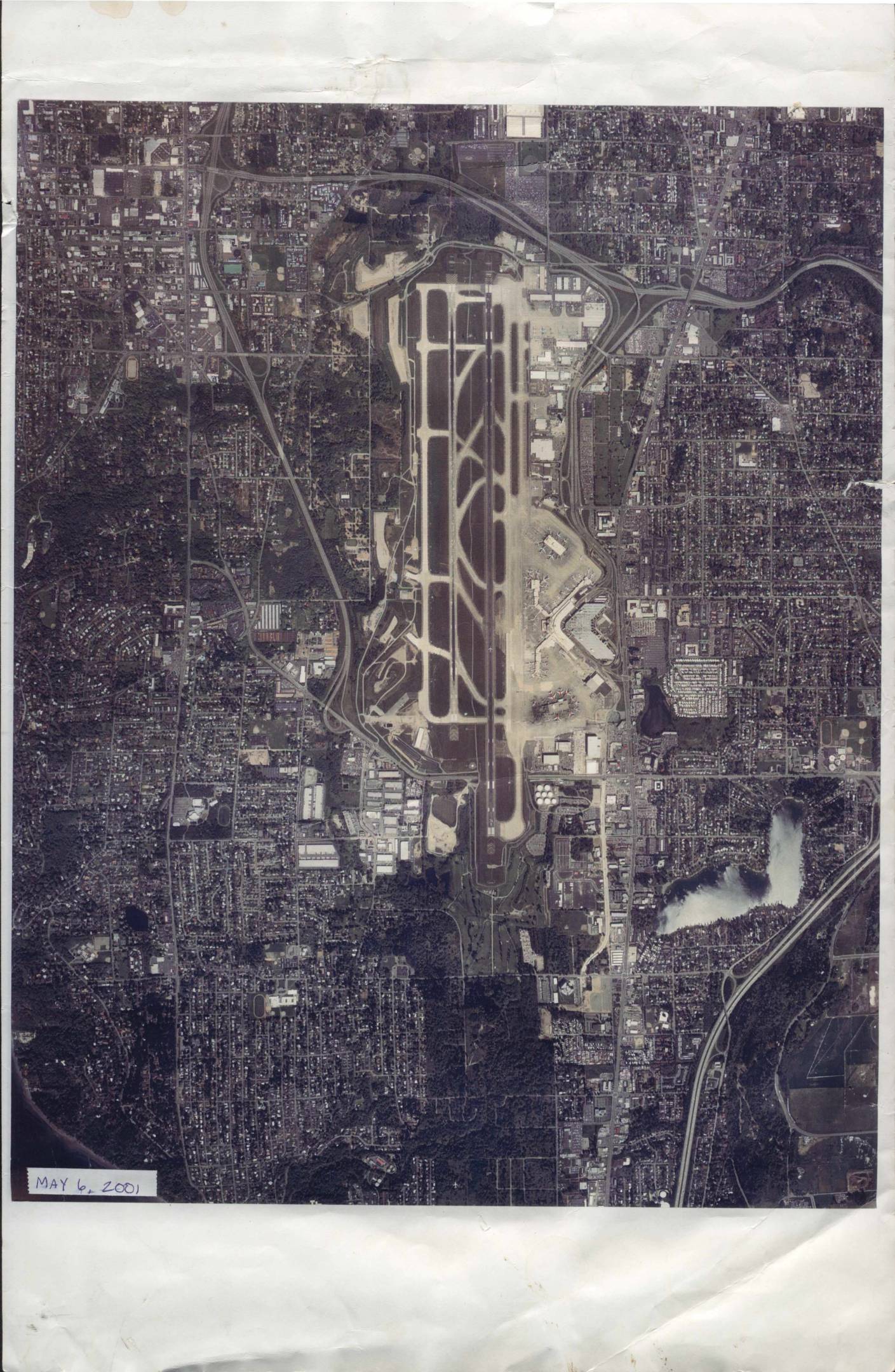
Sea-Tac Airport aerial photograph, May 6, 2001
An aerial photograph of Seattle-Tacoma International Airport (Sea-Tac) and its surrounding neighborhoods, taken on May 6, 2001, by Walker and Associates Photogrammetric and GIS Services of Seattle, WA. The image, printed at an approximate scale of 1 inch equals 1,700 feet, shows the airport's runways, taxiways, terminals, and the densely developed residential and commercial areas nearby. It is identified under negative number 1245 SEATAC PP-3 and work order number 26599, and is copyrighted 2001. -
 2001-05-06
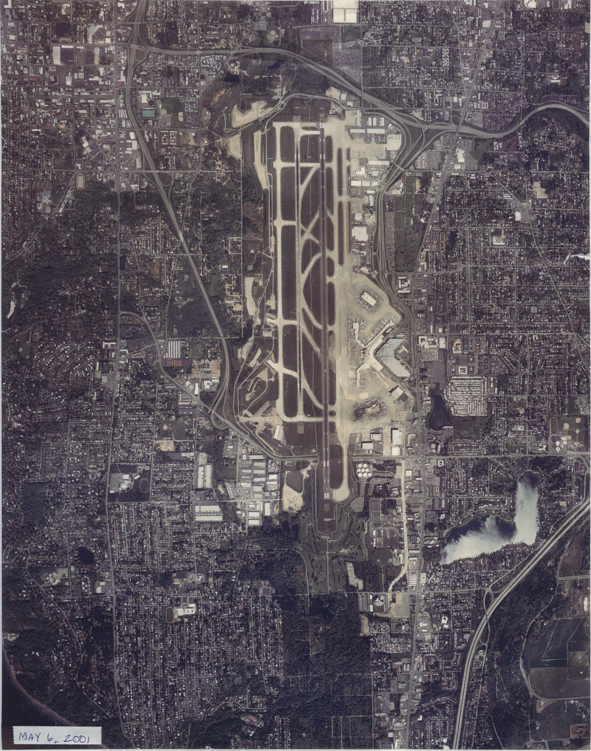
Sea-Tac Airport Runway Aerial Photograph, May 2001
Overhead aerial photograph of Seattle-Tacoma International Airport (Sea-Tac) and surrounding urban areas, dated May 6, 2001 as noted in the lower-left corner. The image shows the airport's parallel runway configuration, terminal area, taxiways, and the dense residential and commercial development surrounding the facility. -
 1997-08-31
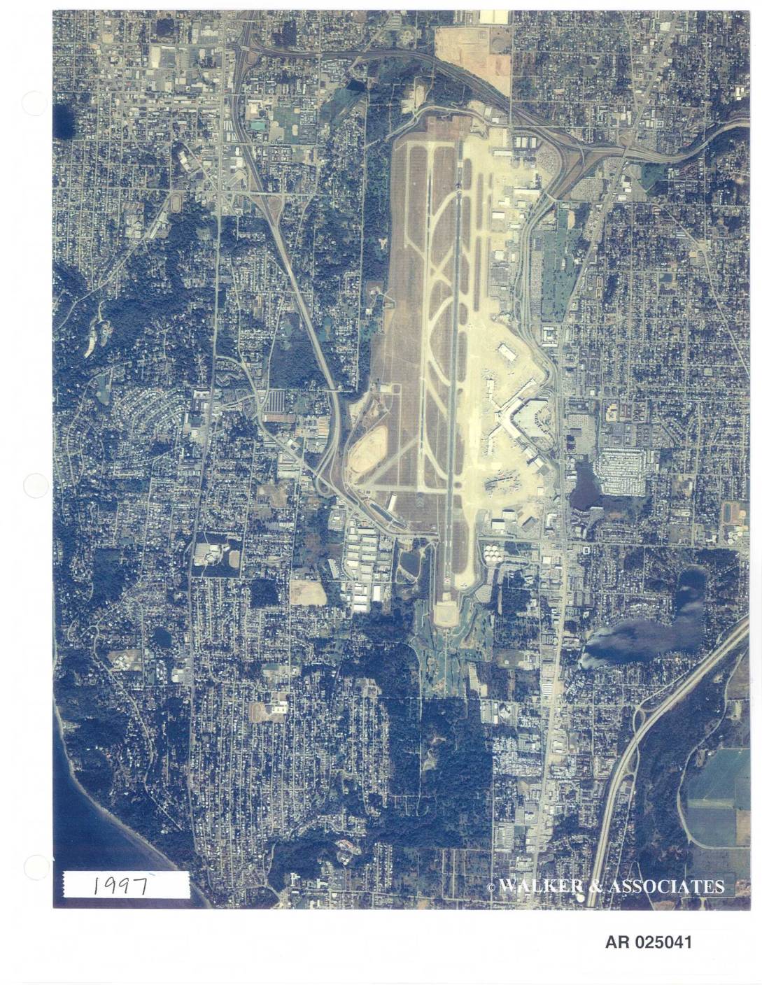
EXH AR025041: Aerial Photographs STIA 1997–1998 — Walker & Associates
This document contains aerial photographs of Seattle-Tacoma International Airport (Sea-Tac) taken in 1997 and 1998 by Walker & Associates, a photogrammetric and GIS services firm based in Seattle, WA. The images show the airport's runways, taxiways, terminal area, and surrounding residential and commercial neighborhoods from above. Accompanying metadata indicates the 1997 photograph was taken on August 31, 1997, at an approximate print scale of 1 inch equals 2,300 feet, under negative number 1197 SeaTac PP-2. -
 1969-01-01
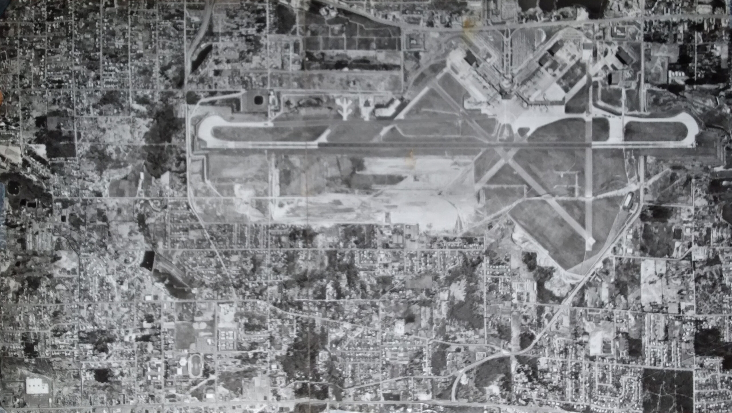
Second Runway Construction Aerial Photograph 1969
Black-and-white aerial photograph showing a large commercial or military airport with multiple runways in an X/crosswind configuration, taxiways, terminal areas, and extensive surrounding residential and commercial development. The image appears to be a historical mosaic aerial survey photograph, consistent with mid-20th century planning or noise-study documentation.