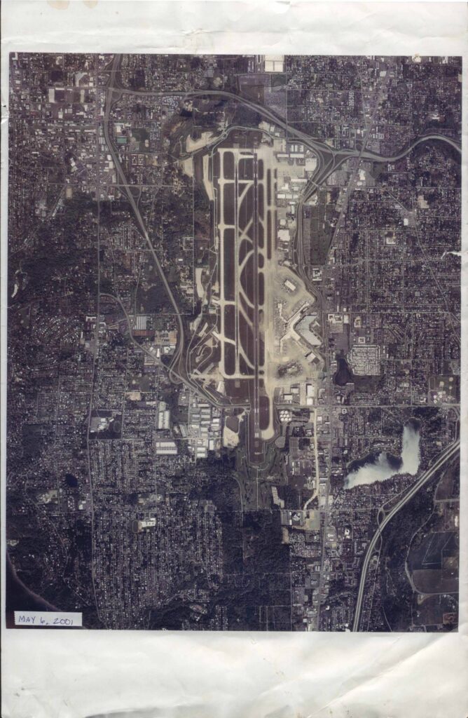
An aerial photograph of Seattle-Tacoma International Airport (Sea-Tac) and its surrounding neighborhoods, taken on May 6, 2001, by Walker and Associates Photogrammetric and GIS Services of Seattle, WA. The image, printed at an approximate scale of 1 inch equals 1,700 feet, shows the airport's runways, taxiways, terminals, and the densely developed residential and commercial areas nearby. It is identified under negative number 1245 SEATAC PP-3 and work order number 26599, and is copyrighted 2001.Open full document
Notes
Aerial photograph of Sea-Tac Airport and surrounding communities taken on May 6, 2001, by Walker and Associates Photogrammetric and GIS Services. The image shows the airport runways, taxiways, terminals, and surrounding urban development. The print scale is approximately 1 inch equals 1,700 feet, with negative number 1245 SEATAC PP-3.