TagSea-Tac Airport(1835)
-
 2010-01-01
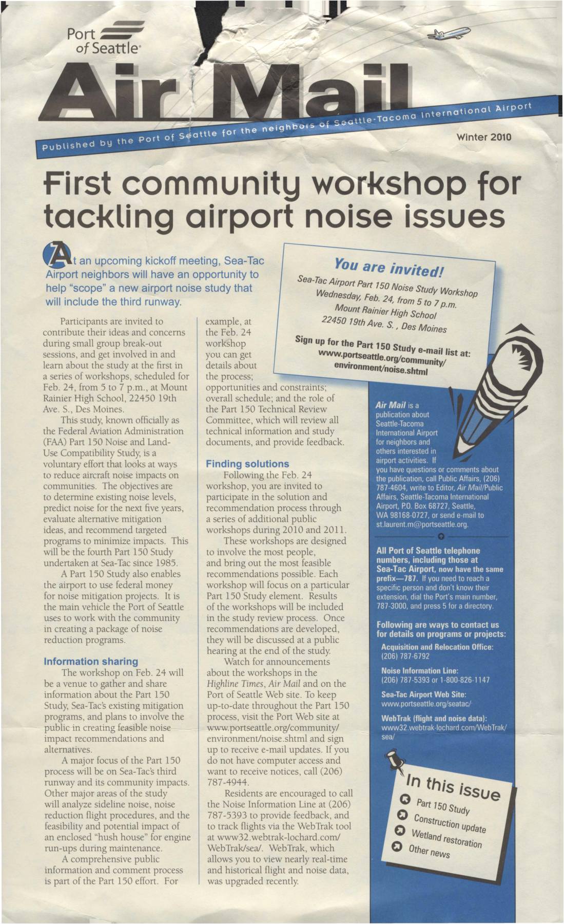
Air Mail: First Community Workshop For Tackling Airport Noise Issues
The Winter 2010 edition of Air Mail, published by the Port of Seattle, announces the first community workshop for a new FAA Part 150 Noise and Land-Use Compatibility Study at Sea-Tac Airport, scheduled for February 24, 2010, at Mount Rainier High School in Des Moines. The study aims to assess existing and future noise levels, evaluate mitigation options—with a major focus on the third runway's community impacts—and recommend noise reduction programs funded by federal money. The newsletter also covers the opening of Sound Transit's Link light rail to the airport, completed wetlands restoration projects, and a student internship program. -
 2009-11-11
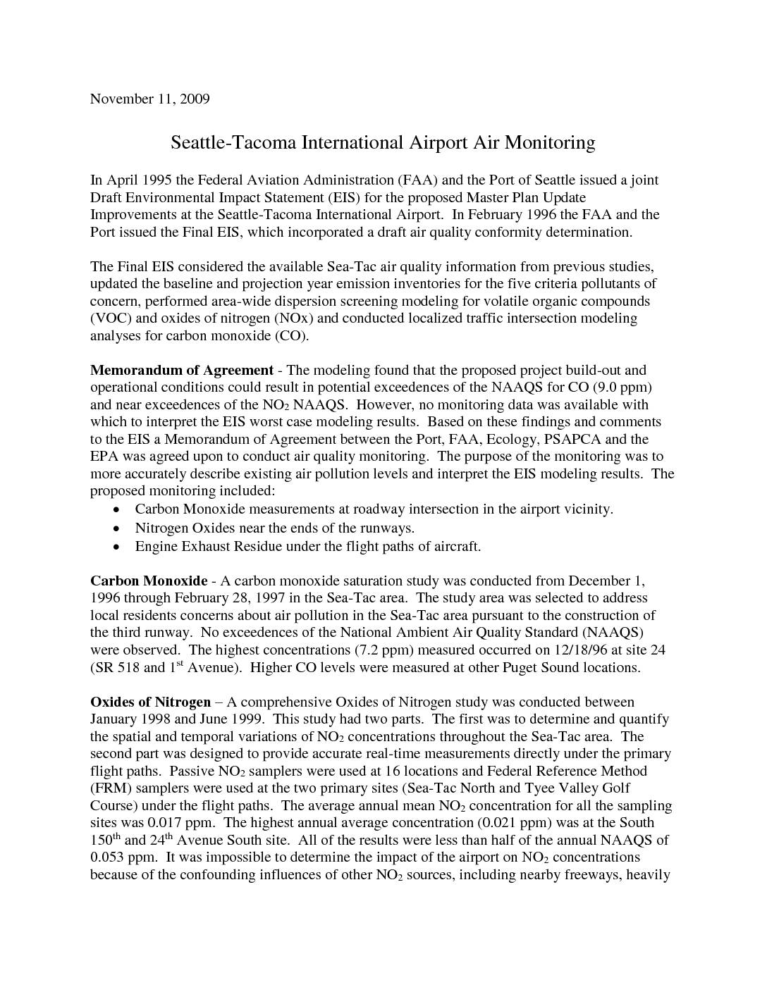
Seattle-Tacoma International Airport air monitoring
This 2009 report summarizes air quality monitoring studies conducted near Seattle-Tacoma International Airport between 1996 and 2002, following concerns raised during the airport's expansion planning. Measurements of carbon monoxide, nitrogen dioxide, particulate matter, and air toxics were taken at multiple sites around the airport, and none of the pollutants exceeded federal air quality standards. While some elevated levels of metals like chromium were detected at the Sea-Tac monitoring site, overall cancer risk from air toxics was lower than the regional average for the Seattle area. -
 2009-11-11
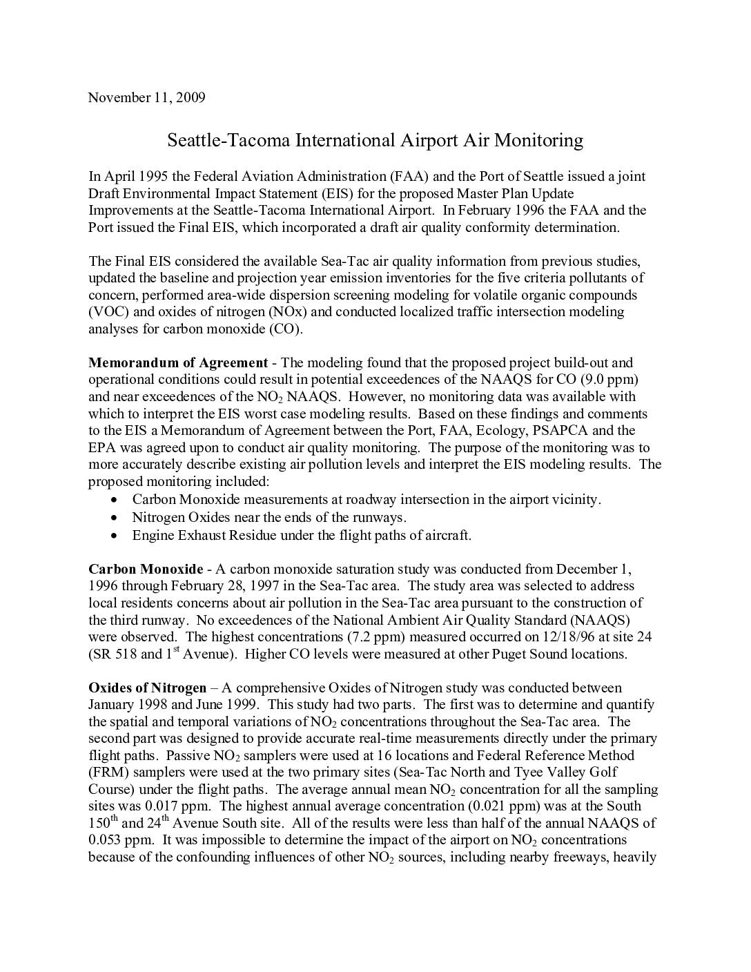
Seattle-Tacoma International Airport Air Monitoring
This 2009 report summarizes air quality monitoring conducted near Seattle-Tacoma International Airport between 1996 and 2002, covering carbon monoxide, nitrogen dioxide, particulate matter, and air toxics. Monitoring found that levels of all measured pollutants remained below federal National Ambient Air Quality Standards (NAAQS), though chromium concentrations at the Sea-Tac North site exceeded EPA's lifetime risk-based threshold. The studies were prompted by a Memorandum of Agreement among the Port of Seattle, FAA, and environmental agencies following an Environmental Impact Statement for proposed airport expansion. -
 2009-07-01
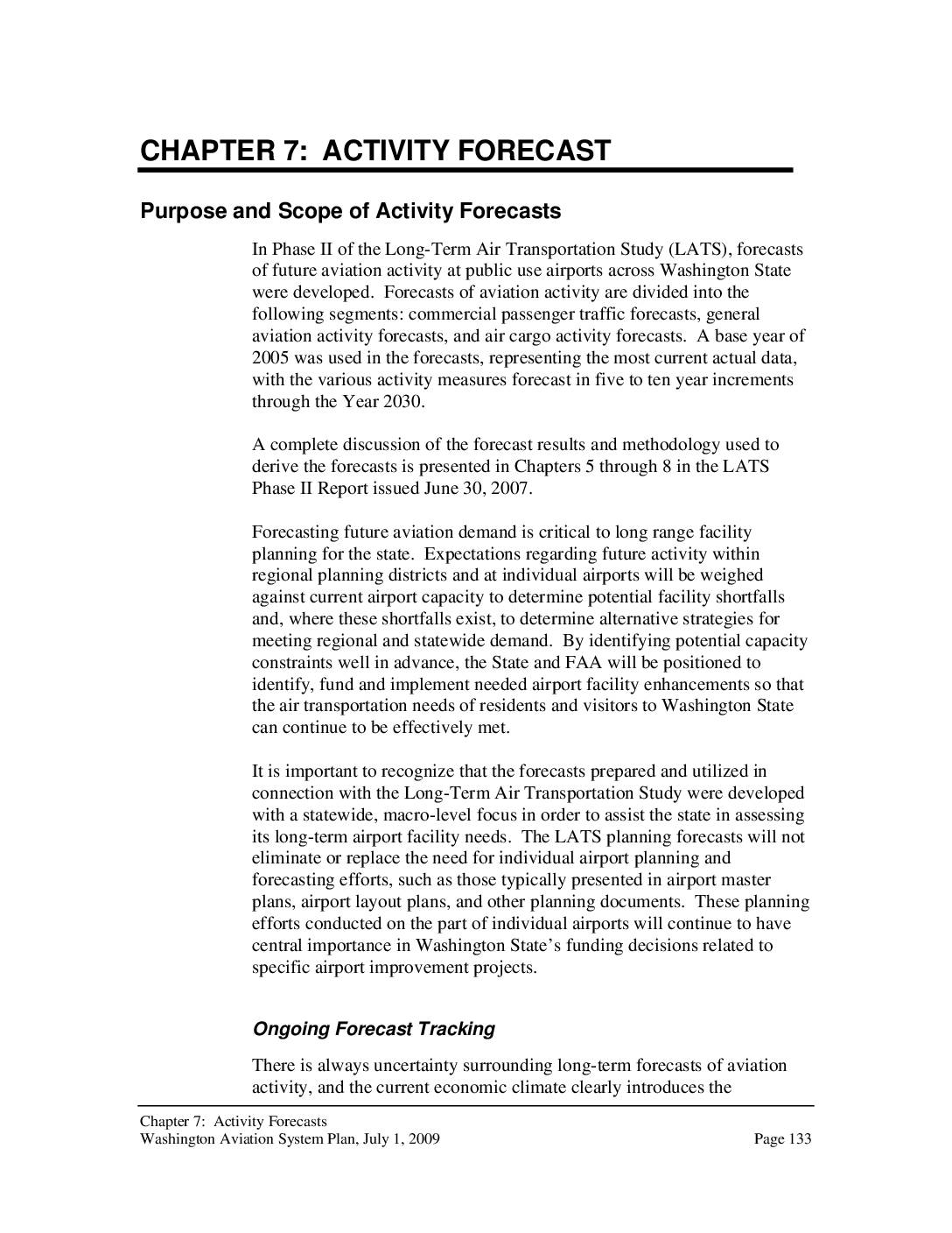
Washington Aviation System Plan, Chapter 7: Activity Forecast
This 2009 Washington Aviation System Plan chapter presents long-term forecasts of passenger traffic at Washington State airports through 2030, with Sea-Tac projected to grow from roughly 14.6 million to 26.6 million enplanements—an 82% increase. Sea-Tac is expected to continue dominating statewide air travel, accounting for 85% of all passenger enplanements in 2030. The forecasts were developed to help the state and FAA identify future capacity constraints and plan necessary airport infrastructure improvements. -
 2009-07-01
Washington Aviation System Plan, Chapter 9: Alternate Airports Assessment
A 2009 Washington State aviation planning study assessed which existing airports could absorb overflow demand from airports projected to hit capacity limits by 2030, with Sea-Tac International among those forecast to exceed both airfield operations and passenger terminal capacity. The analysis evaluated potential alternate airports within roughly 60 miles of Sea-Tac based on factors such as available capacity, runway length, and highway access, while noting that free-market decisions by airlines and passengers would ultimately determine how traffic is distributed. The study was intended as a first-level screening, with more detailed environmental and operational analyses expected before any formal relief airport designations could be made. -
 2008-08-01
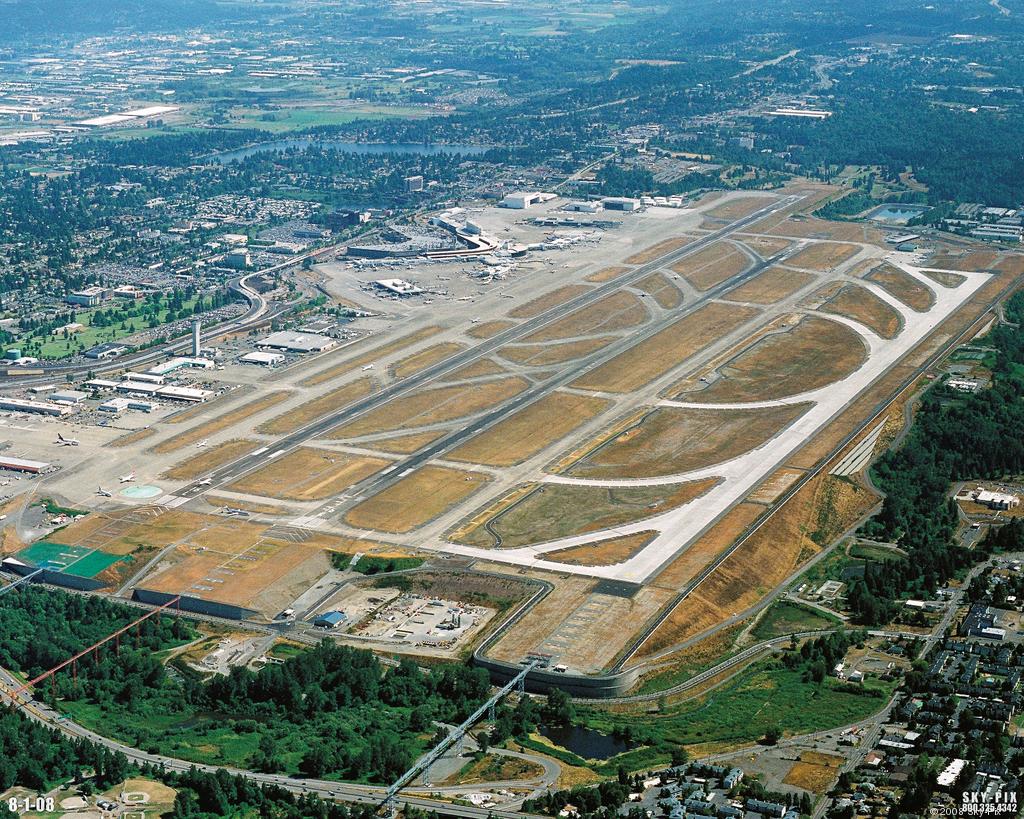
Sea-Tac Airport Aerial Photo, August 2008
Aerial photograph of Seattle-Tacoma International Airport (Sea-Tac) taken on August 1, 2008, showing the airport's parallel runway configuration, terminal complex, and surrounding communities. Image is watermarked 'SKY-PIX 800.325.4342 © 2008' and dated '8-1-08' in the lower corners. -
 2008-07-01
NERA Market Conditions Report: City of Burien NE Redevelopment Area
This July 2008 market conditions report, prepared by Heartland for the City of Burien, analyzes redevelopment potential for the Northeast Redevelopment Area (NERA), a collection of underutilized properties adjacent to Seattle-Tacoma International Airport. The report examines four land use categories—industrial, office, retail, and residential—to inform alternative redevelopment strategies developed in partnership with the City of Burien and the Port of Seattle. Key findings highlight strong demand for airport-adjacent industrial space, limited office development in Burien, and the need to understand residential market conditions in order to encourage non-residential uses in the area. -
 2007-12-29
The year that was in Highline
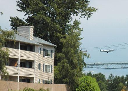
LORA LAKE CONTROVERSY. The Lora Lake Apartments near Seatac Airport were a source of controversy and protest this year. In November a compromise was reached allowing 162 vacant units at the Lora Lake Apartments to remain as affordable housing. The King County Housing Authority will purchase the apartments.<br><br><b>Photo by Tim Robinson</b> Sat, 12/29/2007 Highline cities -
 2007-09-13
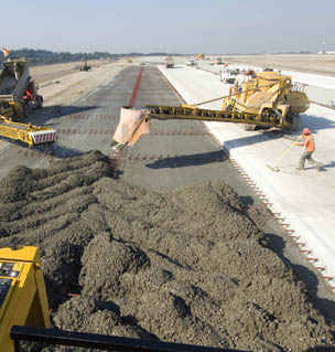
Pouring concrete for Sea-Tac’s Third Runway, 13 September 2007.
Construction crew operates heavy paving equipment to lay fresh concrete on a wide airfield surface, consistent with runway or taxiway construction or rehabilitation. A worker in an orange hard hat is visible at right; no visible text, logos, or watermarks to identify the specific location, date, or contractor. -
 2007-09-10
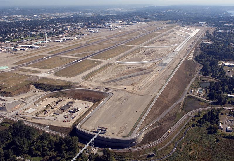
Aerials of Sea-Tac Airport’s Third Runway construction, 10 September 2007.
Aerial photograph showing the construction of Seattle-Tacoma International Airport's third runway (16C/34C) under development. The image shows the new runway under construction to the east of the existing parallel runways, with surrounding residential and forested areas of the SeaTac/Des Moines area visible.