TagSea-Tac Airport(1835)
-
 2010-10-17
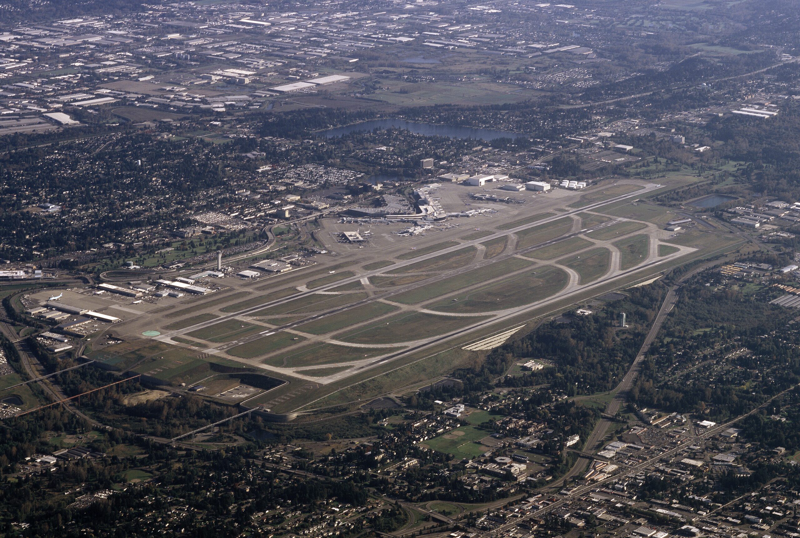
Aerial view of Sea-Tac Airport from 8000 ft over West Seattle October, 17 2010
Aerial photograph of Seattle-Tacoma International Airport (Sea-Tac) showing its parallel runway configuration, terminal complex, and concourses, surrounded by the dense suburban development of the SeaTac/Tukwila area in Washington State. The image clearly depicts the airport's distinctive dual-runway layout and main terminal facilities as seen from an aircraft departing or arriving to the north. -
 2010-08-19
Appendix N – Forecast approval
This document is Appendix N of the Seattle-Tacoma International Airport Part 150 Noise Compatibility Study Update, compiled by Landrum & Brown in October 2013. It contains the FAA's official approval, dated August 19, 2010, of the aviation activity forecast submitted by Sea-Tac Airport in July 2010. The FAA determined that the forecast provided adequate justification for total aircraft operations and authorized its use in the airport's Noise Compatibility Plan Update. -
 2010-06-01
Design and performance of a 46m high MSE wall
This engineering study describes the design and construction of a 46-meter (150-foot) tall mechanically stabilized earth (MSE) retaining wall built along the western edge of Seattle-Tacoma International Airport's third runway embankment, believed to be the tallest such wall in the western hemisphere at the time. The wall was necessary to raise the ground level by up to 50 meters while avoiding encroachment into nearby wetlands and creeks. Monitoring of the wall during and after construction confirmed it performed safely and largely as predicted. -
 2010-04-01
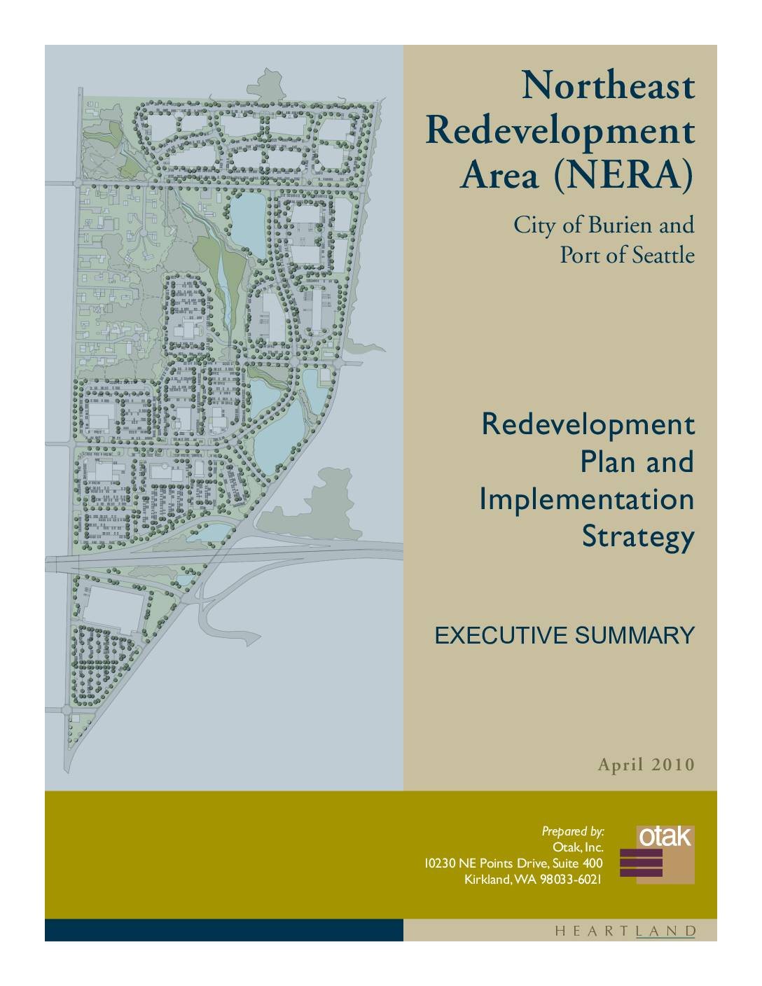
Northeast Redevelopment Area (NERA): Redevelopment Plan and Implementation Strategy Executive Summary
The Northeast Redevelopment Area (NERA) Redevelopment Plan and Implementation Strategy, prepared in April 2010 by the City of Burien and Port of Seattle, outlines a 15-year plan to convert land near Seattle-Tacoma International Airport from incompatible residential and small-scale commercial uses into airport-compatible development. Created in response to noise and operational impacts from Sea-Tac Airport, the plan was shaped by community input, market analysis, and FAA restrictions. The strategy provides a phased, incremental approach to guide property owners and stakeholders through the redevelopment process while balancing environmental, economic, and community considerations. -
 2010-02-20
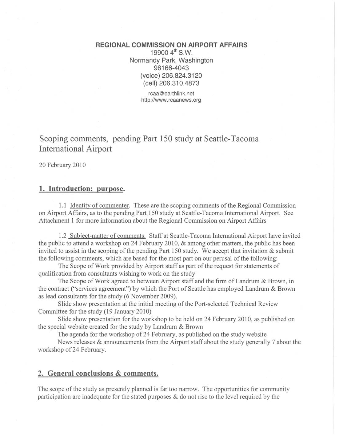
Scoping Comments, Pending Part 150 Study at Seattle-Tacoma International Airport
The Regional Commission on Airport Affairs submitted formal scoping comments in February 2010 criticizing the planned Part 150 noise study at Seattle-Tacoma International Airport as too narrow in scope and insufficient in public participation opportunities. The comments call for improvements in study documentation standards, including proper indexing, clear citations, author transparency, and plain-English presentation of data. The commission also urges that public comment periods be at least 60 days and not scheduled around major holidays. -
 2010-02-17
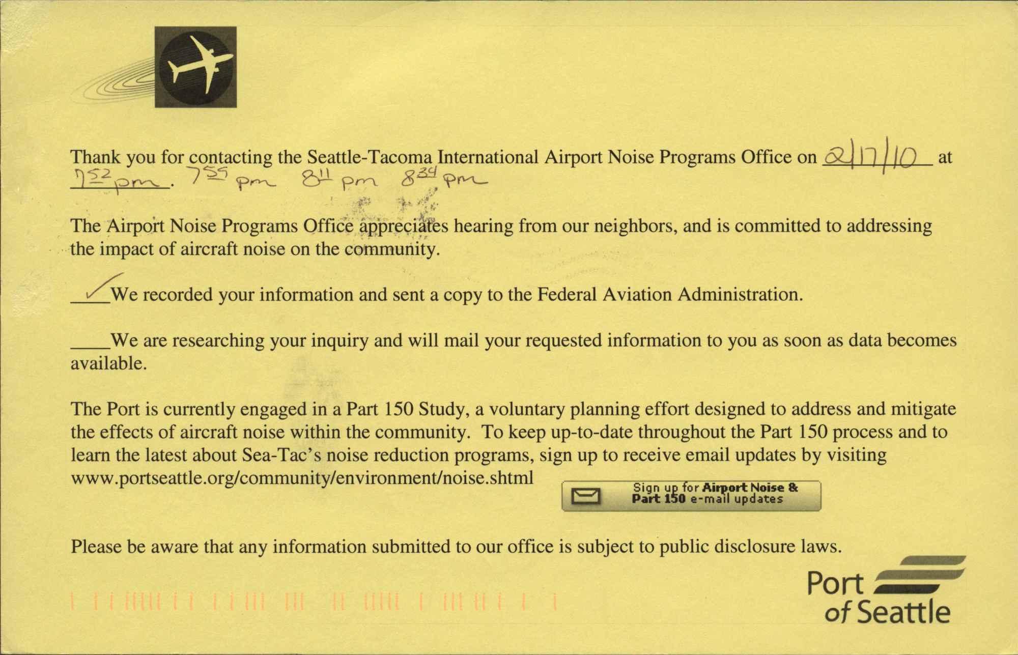
Airport Noise Office Thank You For Contacting Us Postcard
A Port of Seattle acknowledgment postcard sent in response to a noise complaint filed with the Seattle-Tacoma International Airport Noise Programs Office on 2/17/10, logging four aircraft noise events at 7:52 PM, 7:55 PM, 8:11 PM, and 8:34 PM. The card confirms that the caller's information was recorded and forwarded to the Federal Aviation Administration, and references the ongoing Part 150 Study for community noise mitigation. -
 2010-02-05
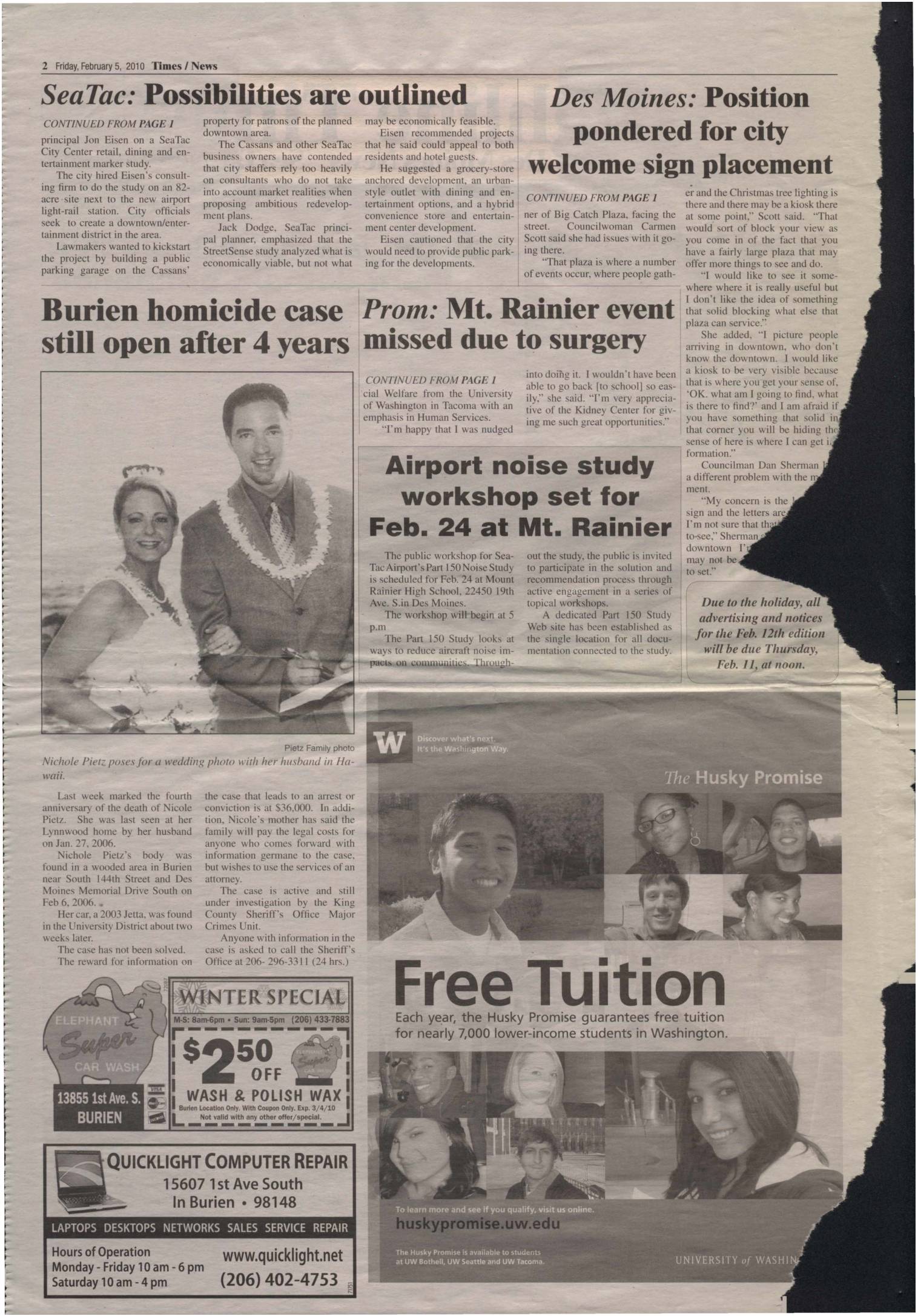
Sea-Tac lawmakers rescind eminent domain ordinance; airport noise study workshop set for Feb. 24 at Mt. Rainier
SeaTac lawmakers voted to rescind a controversial eminent domain ordinance targeting a privately owned parking lot near the airport light-rail station, while also hearing a retail and entertainment feasibility study for an 82-acre proposed city center development adjacent to the airport. Separately, a public workshop on SeaTac Airport's Part 150 Noise Study—which examines ways to reduce aircraft noise impacts on surrounding communities—was scheduled for February 24 at Mount Rainier High School in Des Moines. The workshop was part of an ongoing public engagement process inviting residents to participate in shaping noise-reduction solutions and recommendations. -
 2010-01-01
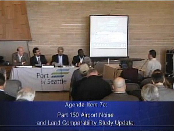
Port Of Seattle Public Meeting on Part 150 Airport Noise and Land Compatibility Study Update
A public meeting panel discussion hosted by the Port of Seattle addresses Agenda Item 7a: the Part 150 Airport Noise and Land Compatibility Study Update, as shown by the on-screen caption and the Port of Seattle branded tablecloth. Four panelists are seated at the head table while audience members and a standing presenter are visible in the room. -
 2010-01-01
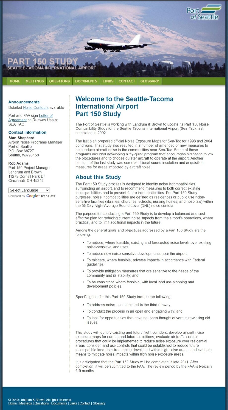
2013 Part 150 Landrum & Brown web page
Official website for the Sea-Tac Airport Part 150 Noise Compatibility Study, operated by the Port of Seattle in partnership with Landrum & Brown, dated 2010. The page outlines study goals including noise contour mapping, reducing noise impacts from the third runway, and community land use compatibility measures, with contact information for Stan Shepherd (Port of Seattle) and Rob Adams (Landrum & Brown). -
 2010-01-01
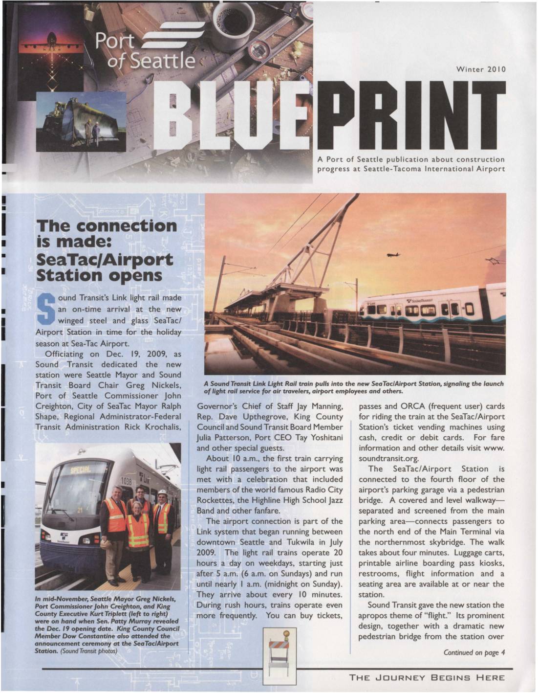
Blueprint Winter 2010: Sea-Tac/Airport Station Opens, Runway Reconstruction, and Construction Updates
A Port of Seattle publication about construction progress at Sea-Tac Airport