TagSea-Tac Airport(1835)
-
 2013-09-09
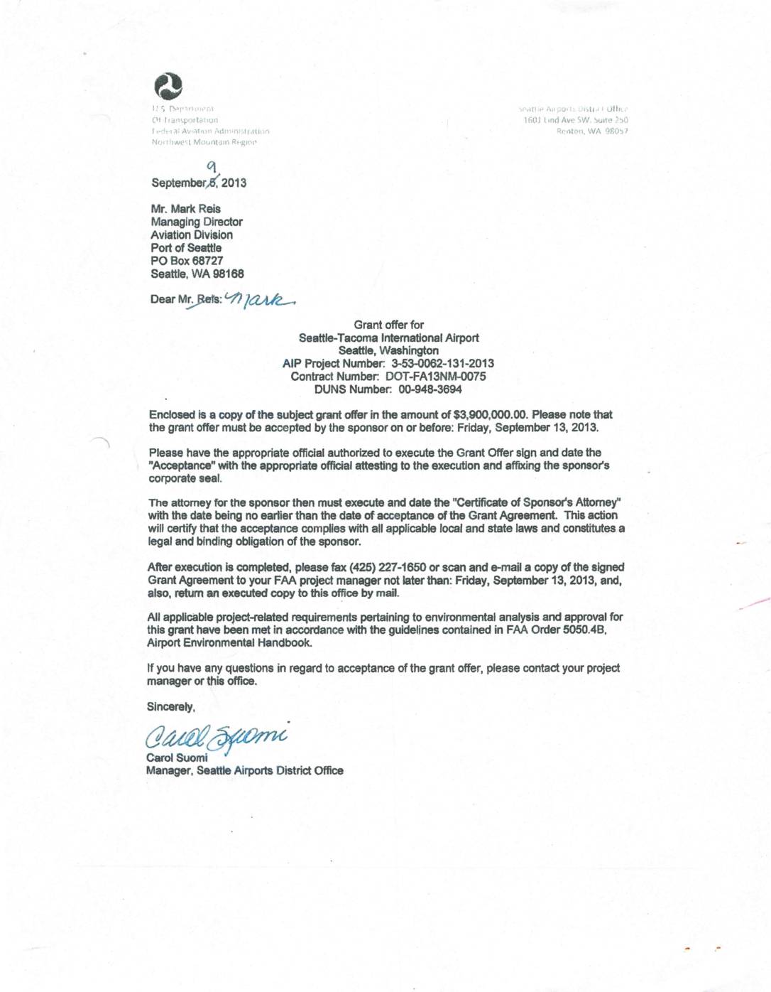
Grant offer for Seattle-Tacoma International Airport
In September 2013, the FAA's Seattle Airports District Office issued a grant offer of $3,900,000 to the Port of Seattle for Seattle-Tacoma International Airport under AIP Project Number 3-53-0062-131-2013. The grant required acceptance by the airport sponsor no later than September 13, 2013, with proper execution of the Grant Agreement by authorized officials and the sponsor's attorney. The fully executed agreement was confirmed and transmitted on September 12, 2013. -
 2013-09-05
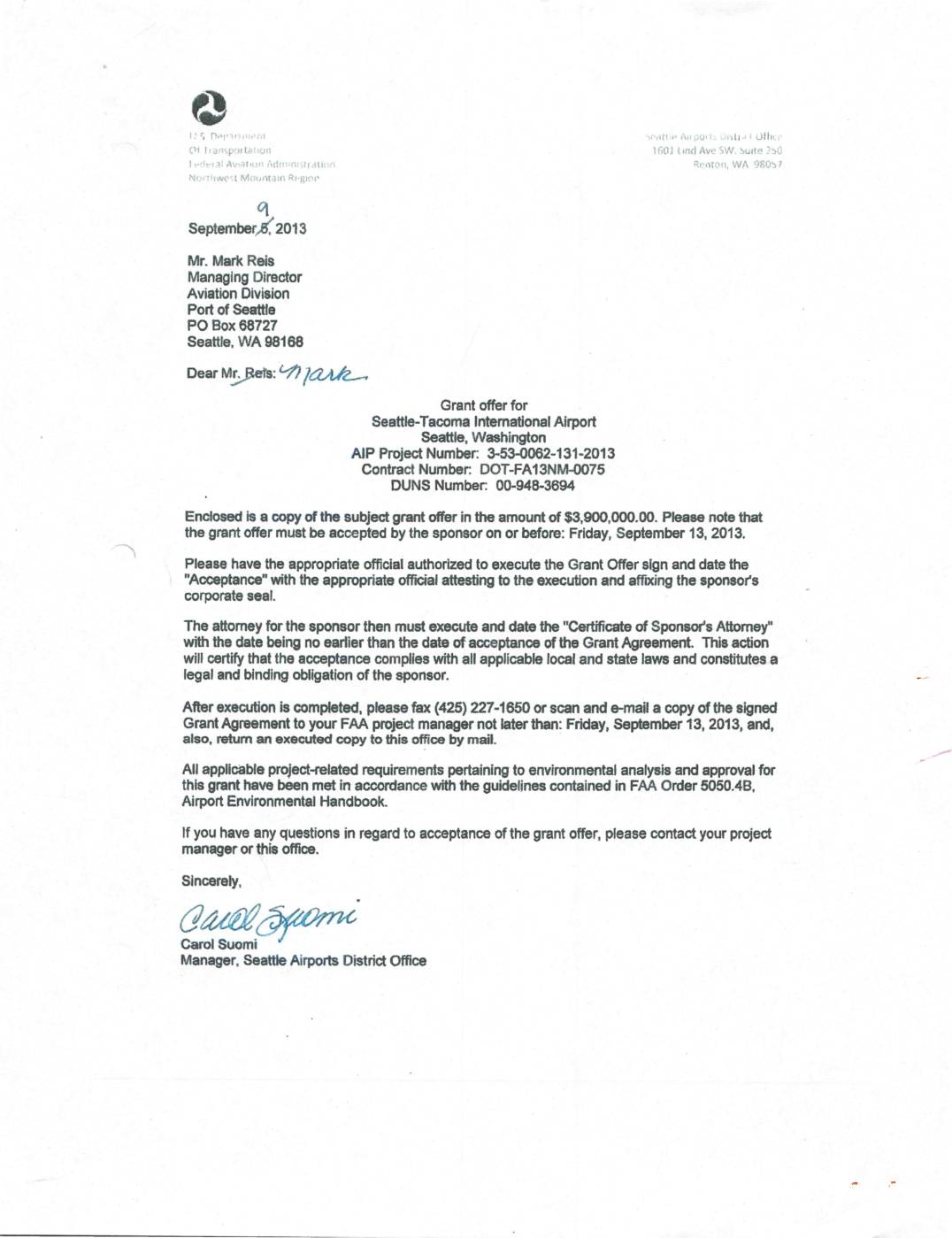
Grant offer for Seattle-Tacoma International Airport
In September 2013, the FAA's Seattle Airports District Office issued a $3,900,000 grant offer to the Port of Seattle for Seattle-Tacoma International Airport under AIP Project Number 3-53-0062-131-2013. The grant agreement was fully executed by September 12, 2013, meeting the required acceptance deadline of September 13, 2013. All environmental analysis and approval requirements were fulfilled in accordance with FAA Order 5050.4B, the Airport Environmental Handbook. -
 2013-05-30
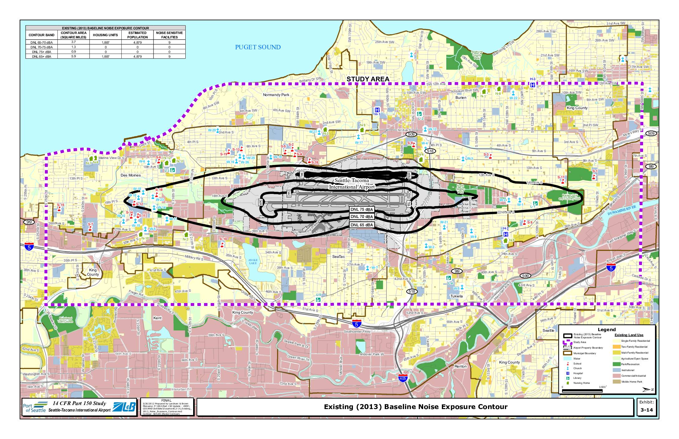
Existing (2013) baseline noise exposure contour
This exhibit from the Seattle-Tacoma International Airport 14 CFR Part 150 Study maps the existing 2013 baseline noise exposure contours around Sea-Tac Airport, showing DNL 65, 70, and 75 dBA noise zones across surrounding communities including SeaTac, Burien, Des Moines, and Tukwila. The DNL 65 dBA or greater contour covers approximately 5.9 square miles, encompassing an estimated 1,887 housing units and roughly 4,879 residents, along with 9 noise-sensitive facilities such as schools, churches, and hospitals. Notably, no housing units fall within the higher-impact DNL 70 dBA or above zones, though significant residential and commercial land uses exist within the broader 65 dBA contour area. -
 2013-05-10
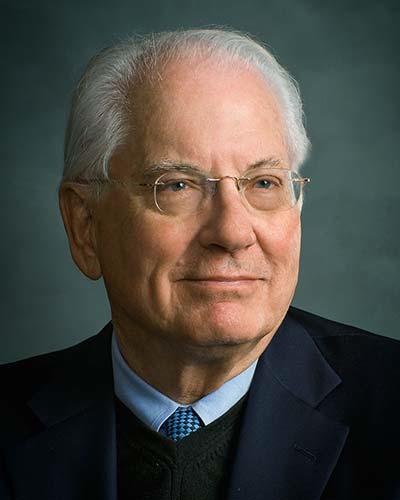
Prominent former Seattle port executive Richard Ford dies
Richard Ford, a Northwest native who rose to prominence as a port executive, attorney and civic leader, died May 5, according to Ford’s family. He was 83. Ford was born in Seattle, grew up in Spokane and graduated from Washington State University, where he met his wife, Nancy Panchot. The couple later moved to the -
 2013-02-19
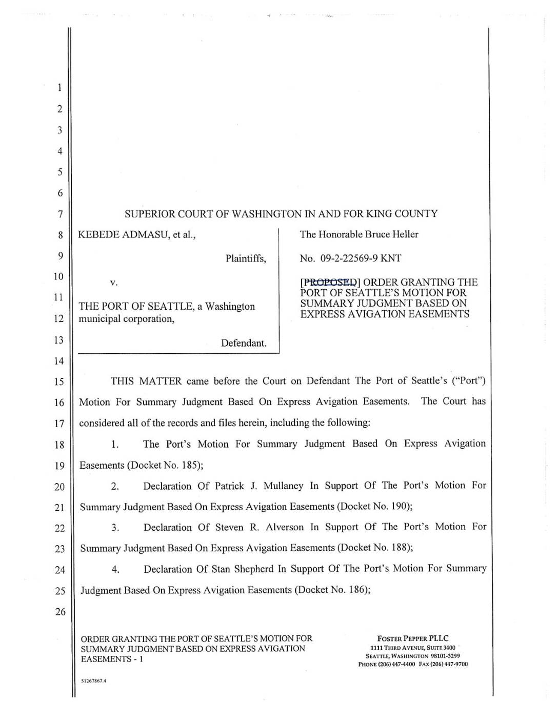
Order Granting the Port Of Seattle’s Motion for Summary Judgment Based on Express Avigation Easements
This is a proposed court order from the King County Superior Court in the case of Kebede Admasu et al. v. the Port of Seattle, in which the Port sought summary judgment against plaintiffs based on express avigation easements tied to Sea-Tac Airport. The order lists the numerous declarations and filings considered by the court, including submissions from both the Port and affected property owners. The case centers on whether recorded avigation easements legally shield the Port from noise and property-related claims brought by neighboring residents. -
 2013-02-19
As-Built Report: Tyee Valley Golf Course Mitigation — US Army Corps of Engineers Permit No. 1996-4-02325
This February 2013 report documents the as-built conditions of a wetland mitigation project at Tyee Valley Golf Course, carried out as part of Seattle-Tacoma International Airport's 1997 Master Plan Update. Prepared by ESA for the Port of Seattle under a US Army Corps of Engineers permit, it details construction outcomes, planting plans, and habitat restoration work completed to offset environmental impacts from airport improvements. The report also outlines ongoing vegetation and hydrologic monitoring standards to ensure the mitigation site meets long-term performance goals. -
 2013-01-22
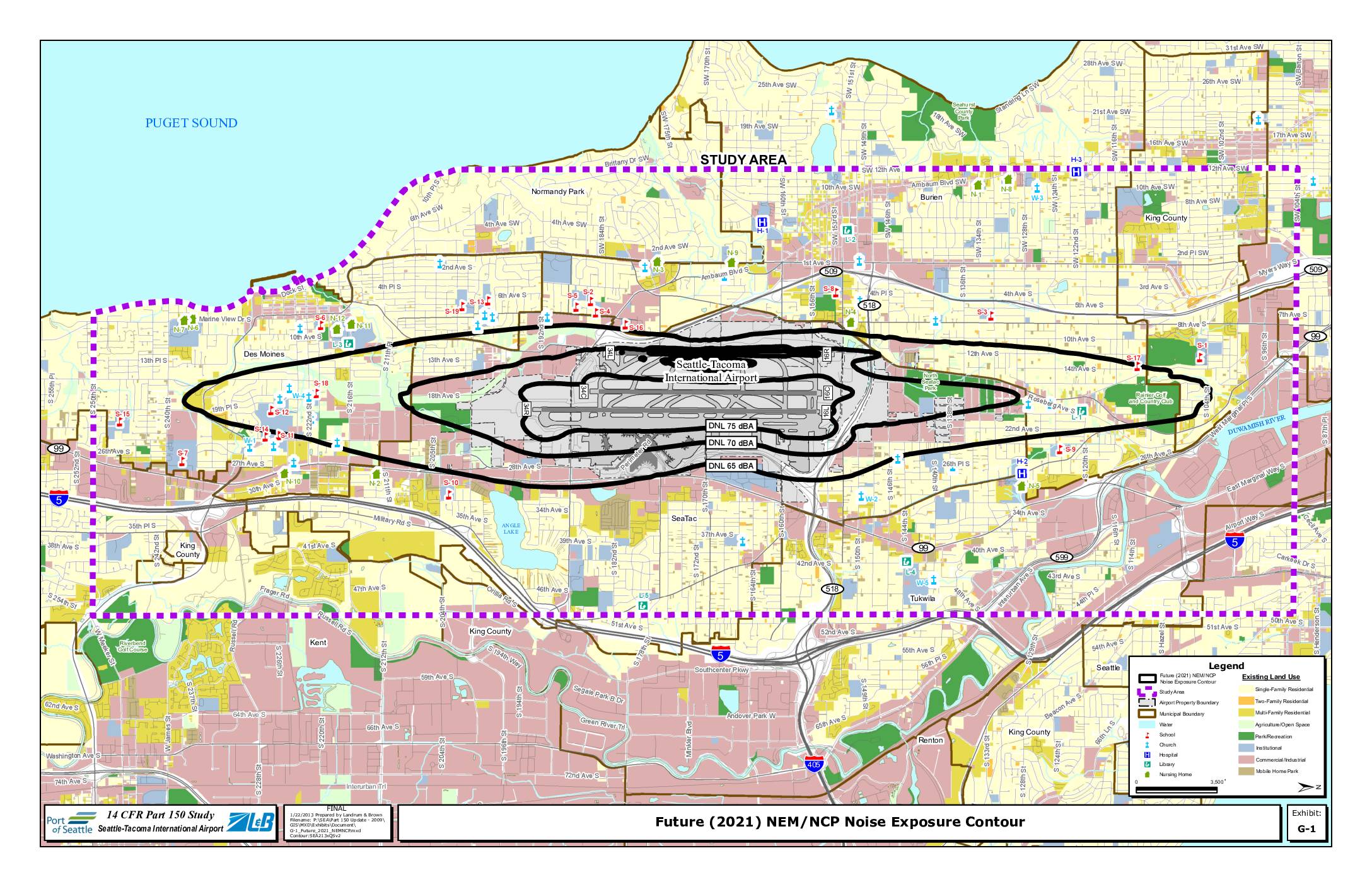
Exhibit G-1: Future (2021) NEM/NCP Noise Exposure Contour
This map, prepared by Landrum & Brown on January 22, 2013 as part of the 14 CFR Part 150 Study for Seattle-Tacoma International Airport, shows projected future (2021) noise exposure contours around Sea-Tac Airport at DNL 65, 70, and 75 dBA levels. The contours extend across surrounding communities including SeaTac, Burien, Des Moines, Tukwila, and portions of Renton and Kent, with sensitive land uses such as schools, churches, hospitals, and residential areas identified within the noise impact zones. The study was conducted to inform noise compatibility planning and policy decisions aimed at reducing aviation noise impacts on affected neighborhoods. -
 2013-01-01
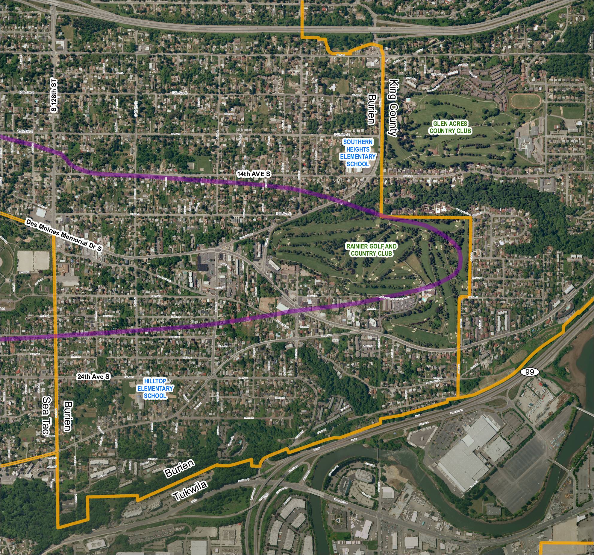
Grid 5: 2013 Baseline Map
This aerial map depicts the area surrounding Sea-Tac Airport, covering portions of Burien, Tukwila, and unincorporated King County in Washington State. It highlights key landmarks including Southern Heights Elementary School, Hilltop Elementary School, Rainier Golf and Country Club, and Glen Acres Country Club, along with major roadways such as SR 99, SR 599, and Des Moines Memorial Drive S. A purple corridor overlay traces what appears to be a noise-impact or flight-path study boundary through residential neighborhoods near the airport. -
 2013-01-01
Grid 2: 2013 Baseline Map — Des Moines / Sea-Tac Area
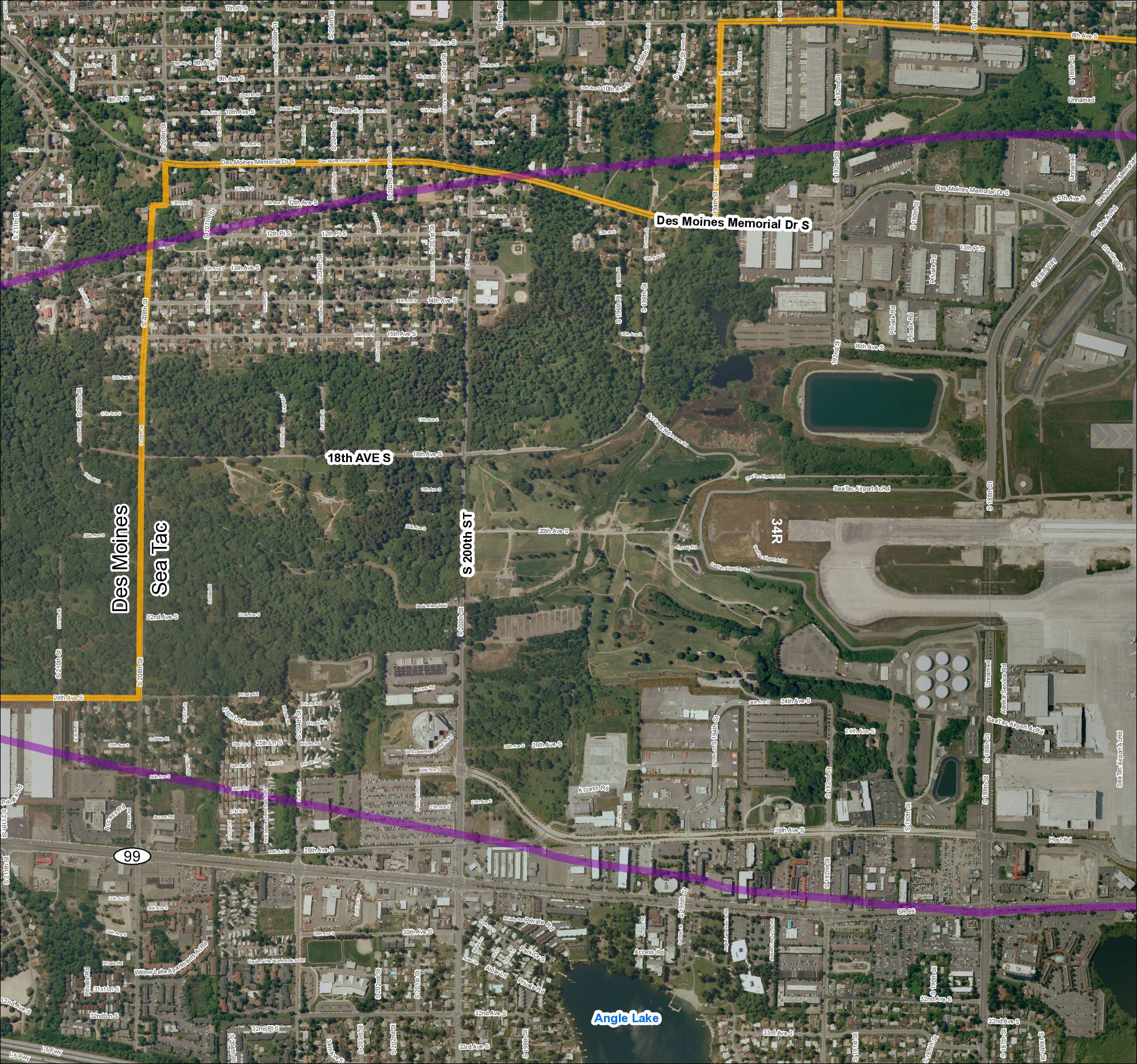
This document is an aerial map of the area surrounding Seattle-Tacoma (Sea-Tac) International Airport, covering the cities of Des Moines and SeaTac in Washington State. It highlights key roadways such as Des Moines Memorial Drive S, SR 99, S 200th Street, and 18th Avenue S, along with airport-specific features including runway 34R and various airport access roads. The map appears to delineate study or noise impact boundaries marked in orange and purple, likely used for airport noise planning and policy analysis purposes. -
 2013-01-01
Grid 4: 2013 Baseline Map — Sea-Tac Airport Area
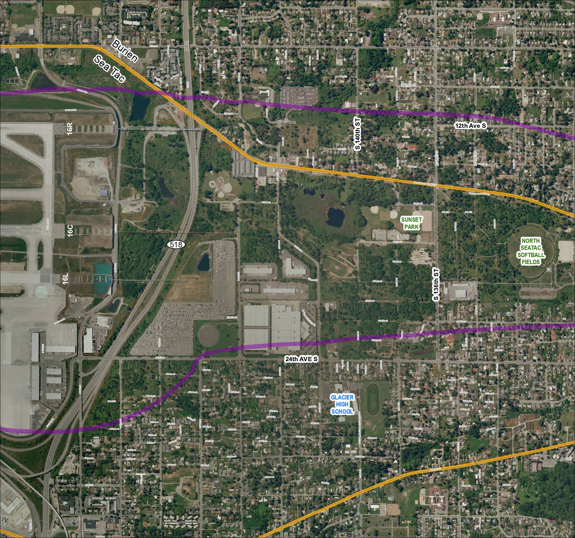
This aerial map shows the area surrounding Seattle-Tacoma International Airport, including the cities of Burien and SeaTac, with runway designations 16R, 16C, and 16L marked along the western edge. Two colored flight-path or noise-contour lines — one purple and one gold — are overlaid on the map, tracing routes that extend east through residential neighborhoods, parks such as Sunset Park and North SeaTac Softball Fields, and past landmarks including Glacier High School. The map appears to be part of a noise or flight-path policy study documenting how aircraft departure and arrival corridors affect surrounding communities along SR 518 and adjacent streets.