TagNorth Sea-Tac Park(157)
-
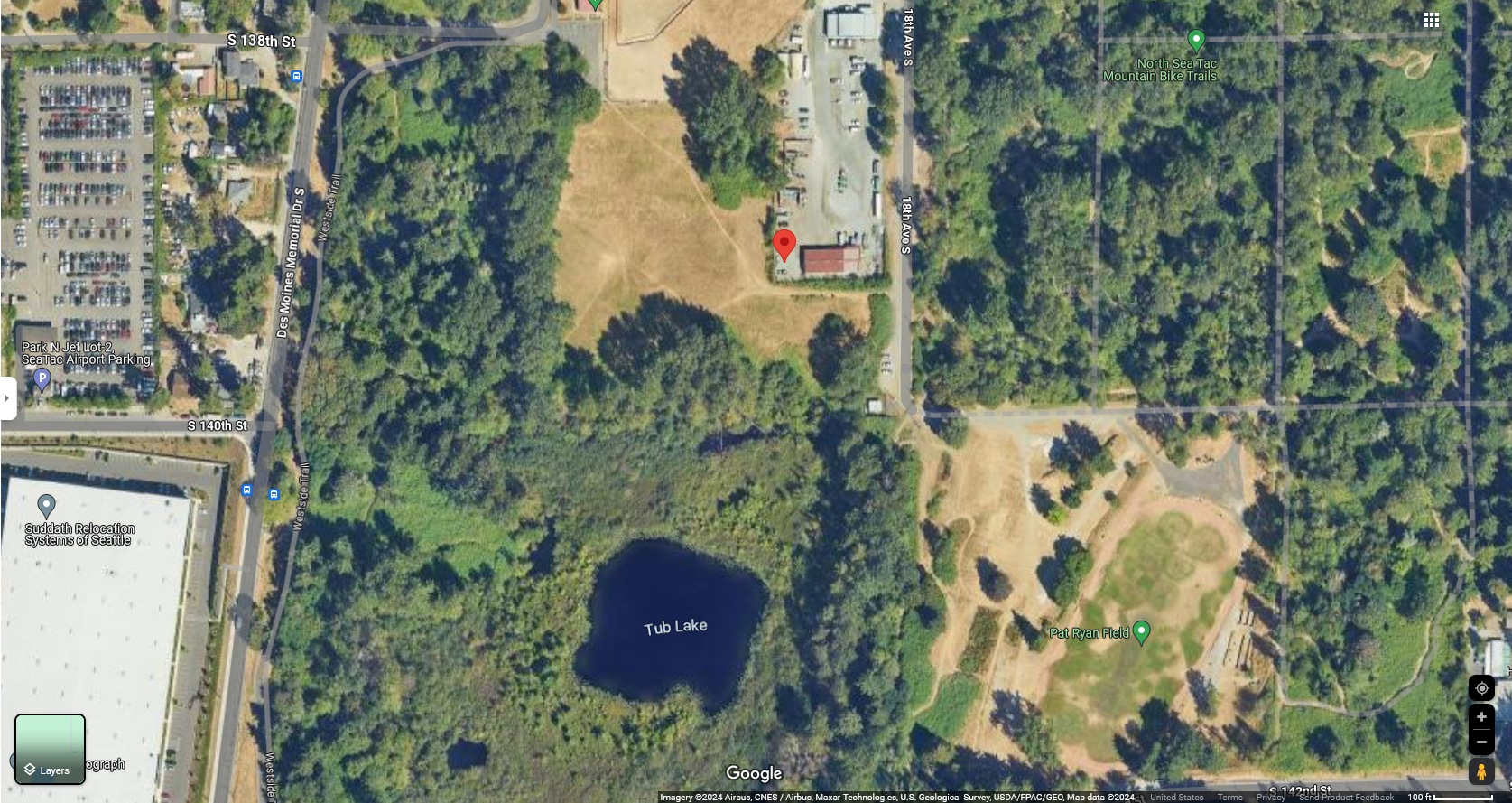
PSCAA Air Quality Monitor Site Sunset Park 2024-02-05
Google Maps satellite imagery showing the area east of Des Moines Memorial Dr S near S 138th–S 142nd Streets, featuring Tub Lake, Pat Ryan Field, North SeaTac Mountain Bike Trails, and a red location pin near 18th Ave S. Adjacent landmarks include Park N Jet Lot 2 SeaTac Airport Parking and Suddath Relocation Systems of Seattle. -
 2024-01-05
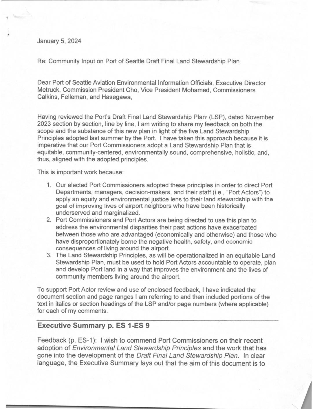
Community Input on Port Of Seattle Draft Final Land Stewardship Plan
A community member submitted detailed feedback to Port of Seattle officials on January 5, 2024, reviewing the Draft Final Land Stewardship Plan (LSP) for Seattle-Tacoma International Airport. The letter argues that the plan falls short of the Port's own adopted Environmental Land Stewardship Principles, particularly regarding equity, environmental justice, and restoration of habitats degraded by past Port actions. The writer urges Port decision-makers to strengthen the plan by embedding equity goals across all objectives, expanding the definition of land stewardship to include restoration, and better addressing the historical health, noise, and environmental burdens borne by communities living near the airport. -
 2023-11-08
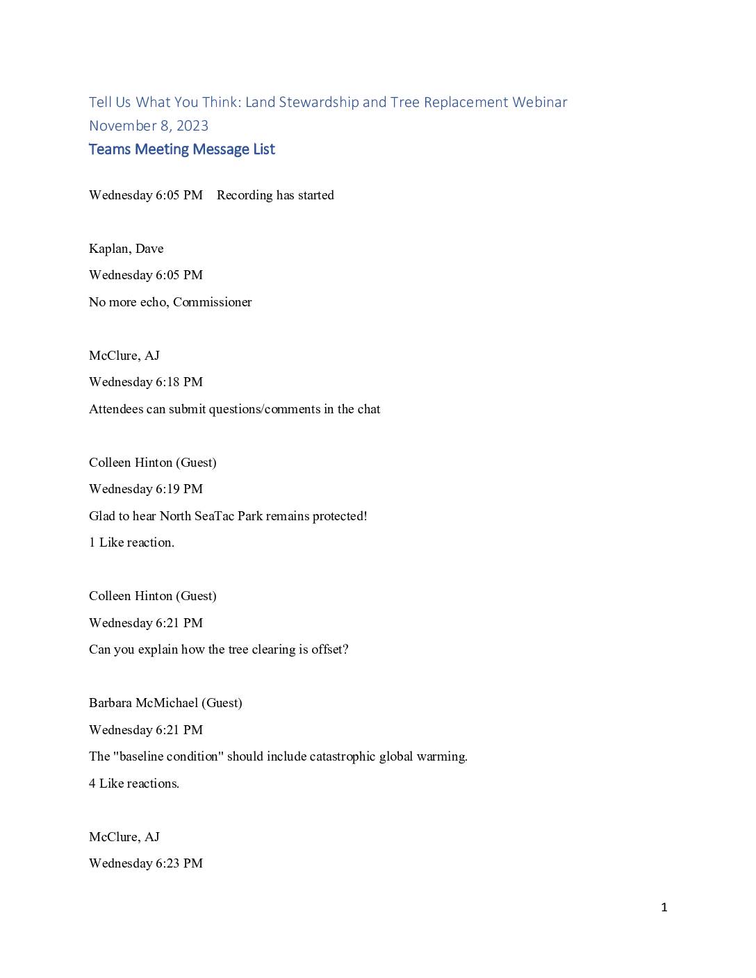
Tell us what you think: Land stewardship and tree replacement webinar chat transcript
Teams meeting chat transcript from a November 8, 2023 public webinar on land stewardship and tree replacement near Sea-Tac Airport. Attendees raised concerns about tree clearing and replacement ratios, noise pollution, habitat corridors, the Des Moines Creek Business Park development, and the adequacy of seedling plantings to replace mature trees. The chat also includes questions -
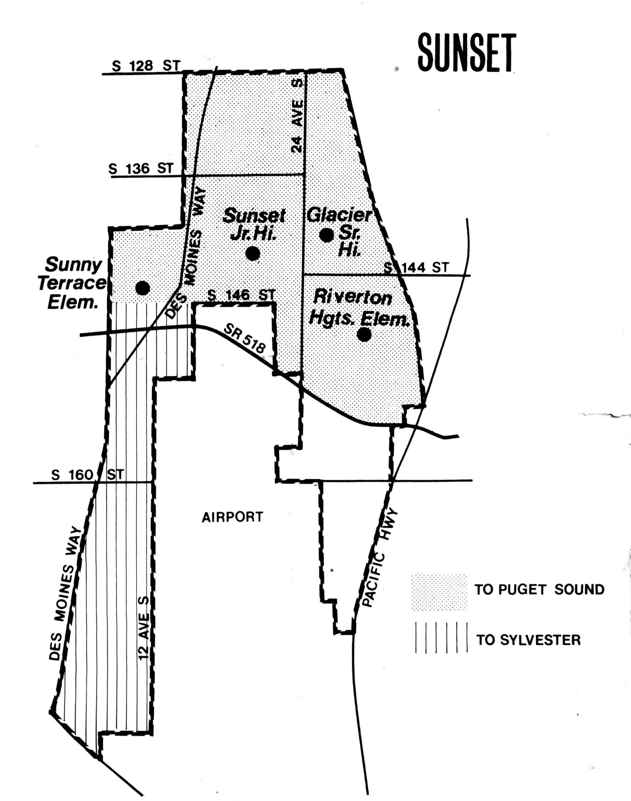
Four Sunset schools near North SeaTac Park
A boundary map for the 'Sunset' school district zone showing attendance areas for Sunny Terrace Elementary, Sunset Jr. High, Glacier Sr. High, and Riverton Heights Elementary, bounded by S 128th St to the north and S 160th St to the south, with Des Moines Way and Pacific Hwy as western and eastern corridors. The map identifies sub-zones feeding to Puget Sound and Sylvester districts, and depicts the airport area near SR 518, relevant to Sea-Tac Airport noise policy planning. -
 2023-08-22
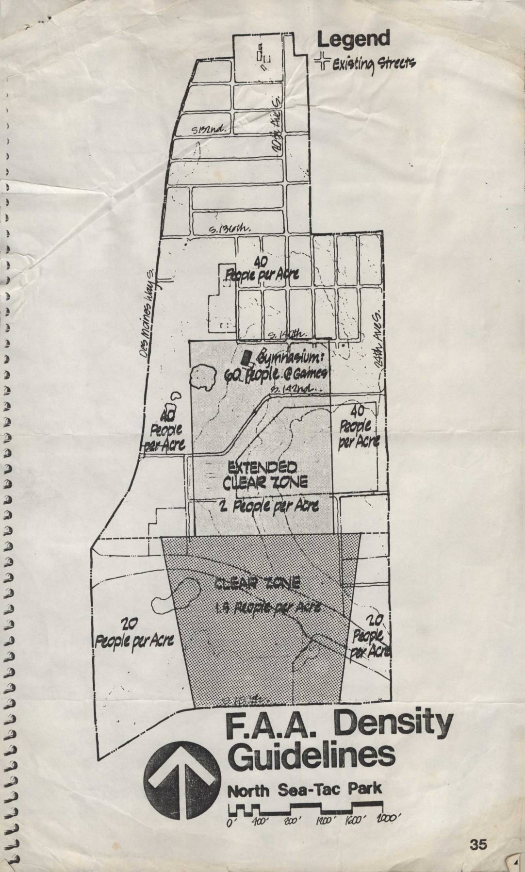
F.A.A. density guidelines: North Sea-Tac Park
This document presents FAA density guidelines for the North Sea-Tac Park area near Seattle-Tacoma International Airport, showing recommended population limits per acre across different zones. Areas closest to the runway are designated as a 'Clear Zone' allowing only 1.5 people per acre, while an 'Extended Clear Zone' permits 2 people per acre, and surrounding residential areas are limited to 20–40 people per acre. A gymnasium on the map is noted as accommodating 60 people during games, illustrating how the guidelines account for concentrated gatherings near airport flight paths. -
 2023-08-22
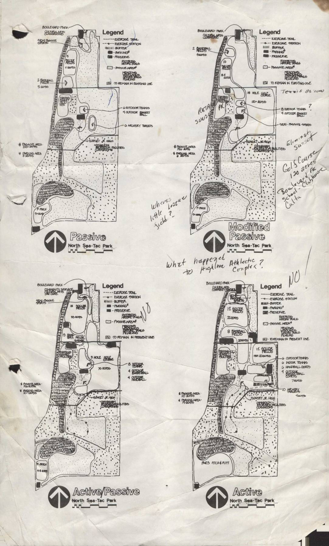
North Sea-Tac Park planning maps: Passive, modified passive, active/passive, and active options
This document presents four conceptual land-use plans for North Sea-Tac Park, ranging from 'Passive' to 'Active' configurations, each showing different proposed recreational facilities such as tennis courts, golf courses, archery targets, baseball fields, and exercise trails. Handwritten annotations question the fate of certain features, including the Highline Athletic Complex and a 'little league field,' and note that a golf course of approximately 120 acres was considered in connection with Boulevard School and Club Moore. The plans appear to be early planning documents exploring how the park land could be developed or preserved under varying levels of recreational activity. -
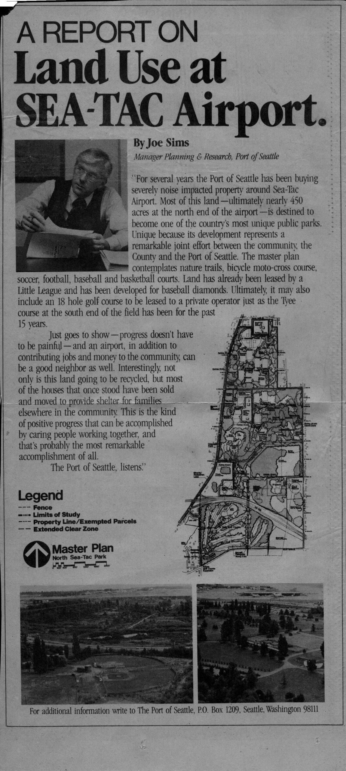
Port Of Seattle Advertisement: Joe Sims Report on Land Use and North Sea-Tac Park
An article by Joe Sims, Manager of Planning & Research for the Port of Seattle, reporting on the Port's acquisition of noise-impacted properties around Sea-Tac Airport, with plans to develop nearly 450 acres at the airport's north end into a public park (North Sea-Tac Park) featuring nature trails, sports courts, a bicycle moto-cross course, and a possible 18-hole golf course. The piece includes a master plan map of North Sea-Tac Park and aerial photographs of the site, with contact information directing readers to The Port of Seattle, P.O. Box 1209, Seattle, Washington 98111. -
 2023-08-22
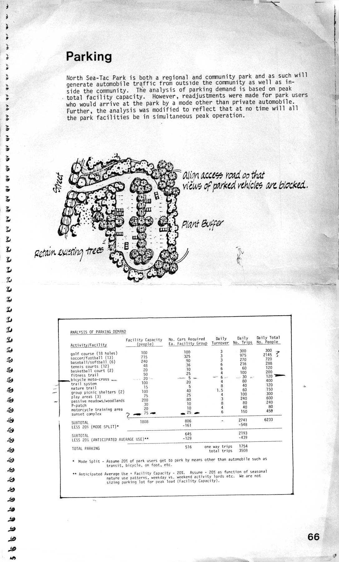
Parking analysis for North Sea-Tac Park
This document covers planning considerations for North Sea-Tac Park, including an analysis of parking demand across various recreational facilities such as golf courses, sports fields, and trail systems, estimating a total parking need of 516 spaces based on adjusted peak usage. It also addresses air support facility requirements near Sea-Tac Airport, describing clear zone and extended clear zone boundaries where land use is restricted to prevent hazards to aircraft. Within these clear zones, tall buildings, smoke-producing facilities, bird-attracting features, and large gatherings of people are prohibited to minimize risk to approaching and departing aircraft. -
 2023-04-24
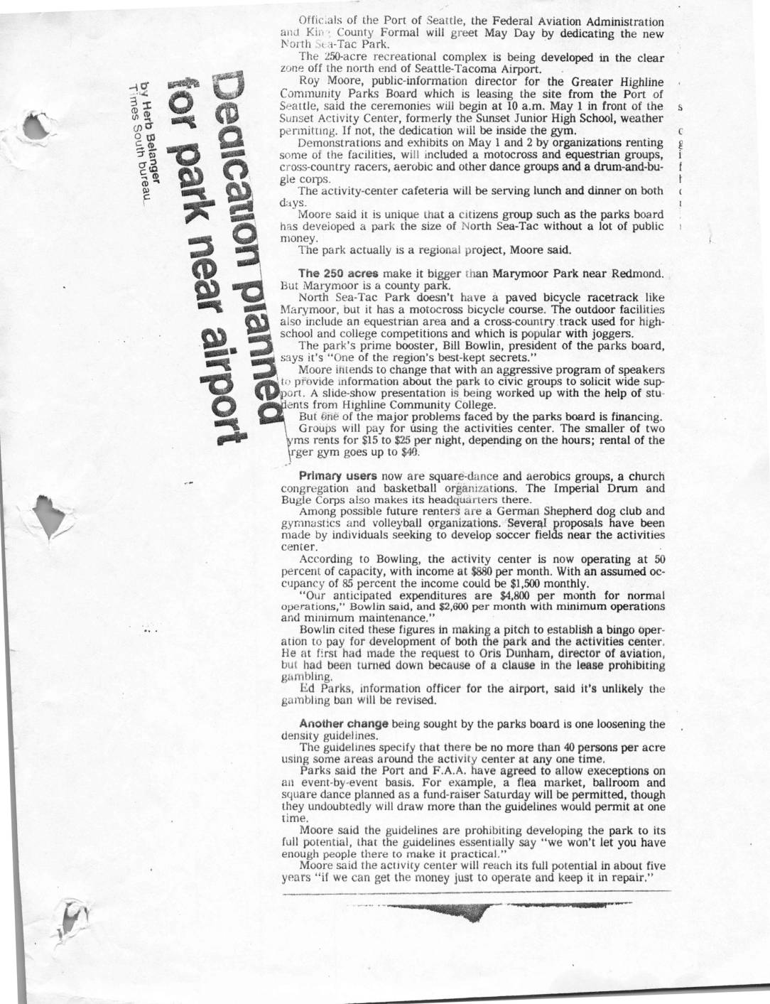
Dedication planned for park near airport
Officials from the Port of Seattle, the FAA, and King County dedicated the new North Sea-Tac Park, a 250-acre recreational complex developed in the clear zone off the north end of Seattle-Tacoma International Airport. The park, leased to the Greater Highline Community Parks Board, features an equestrian area, motocross course, cross-country track, and an activities center, but faces financial and operational challenges including density restrictions limiting the number of visitors per acre at any one time. The parks board has sought changes to the lease, including loosening density guidelines and establishing a bingo operation to fund development, though airport officials consider revisions to the gambling ban unlikely. -
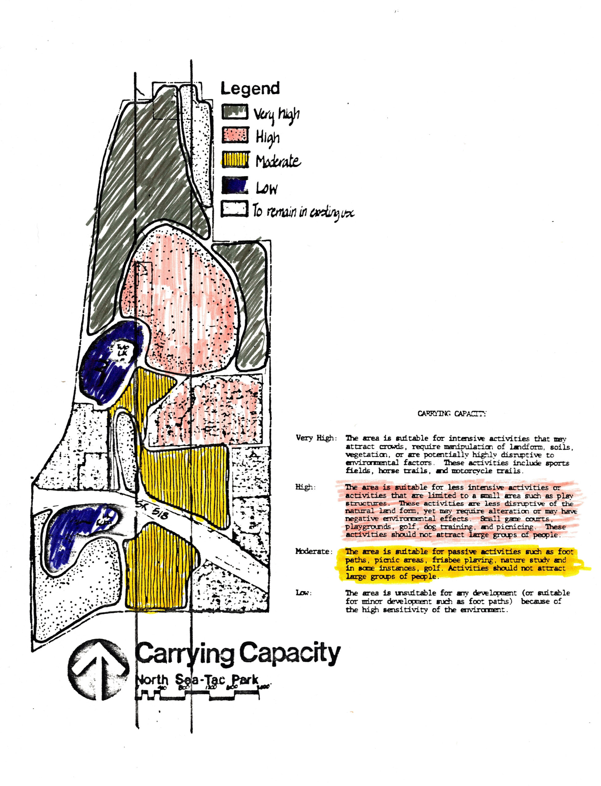
NSTP Carry Capacity (color) cropped_0001
A hand-colored land-use planning map for North Sea-Tac Park classifying parcels by carrying capacity: Very High (suitable for intensive activities such as sports fields and horse trails), High (small-area activities like playgrounds and golf), Moderate (passive uses such as foot paths and picnicking), and Low (unsuitable for development due to environmental sensitivity). The 'High' and 'Moderate' categories are highlighted, and a scale bar is visible at the bottom of the map.