TagLand(18)
-
 2024-09-07
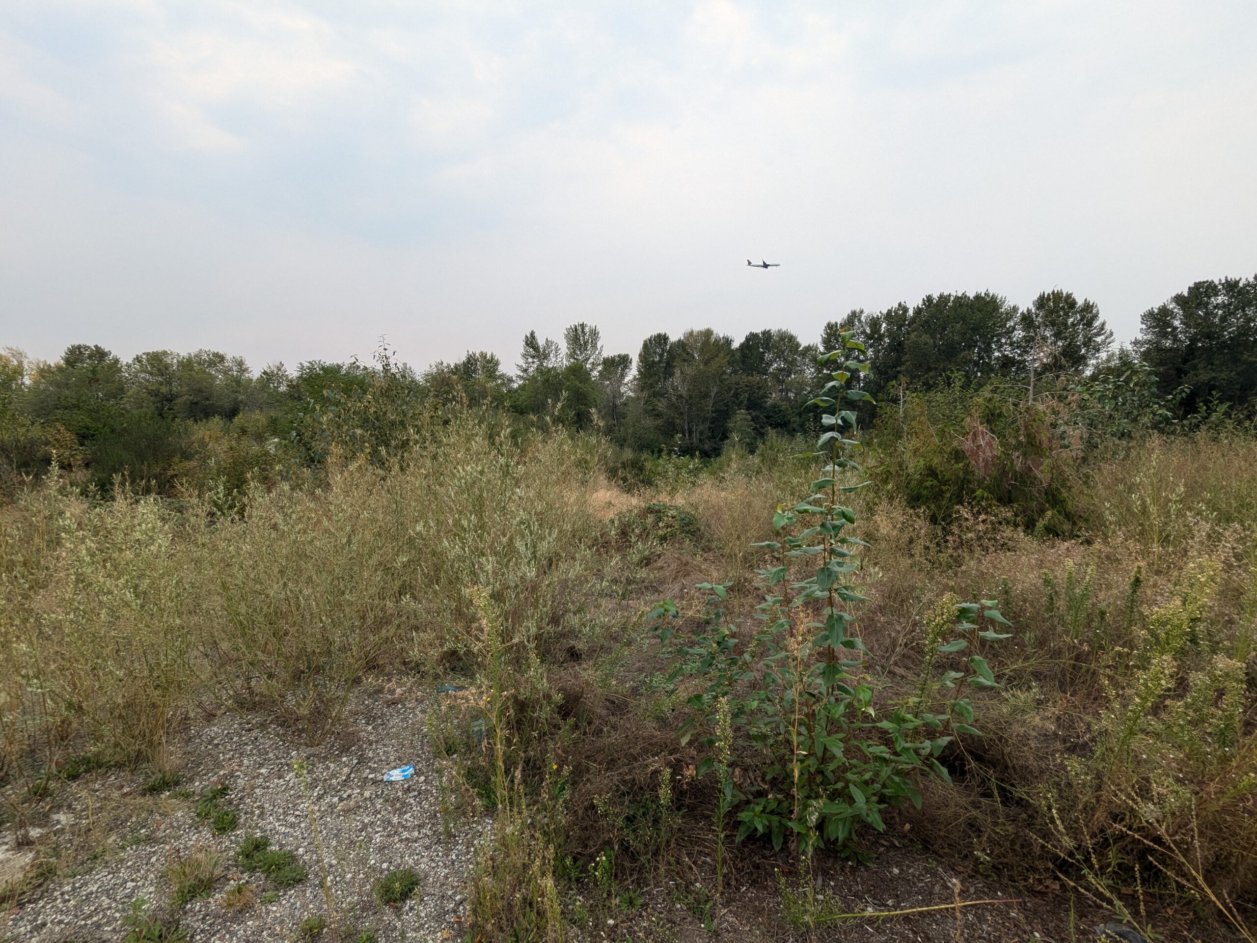
Aircraft On Approach Over Undeveloped Scrubland Near Airport
A commercial aircraft is visible on final approach in the hazy sky above an overgrown, undeveloped parcel with gravel ground cover and scattered shrubs and trees. The proximity of the low-flying aircraft and the disturbed, vacant land character are consistent with property in the flight path corridor near a major airport. -
 2024-01-05
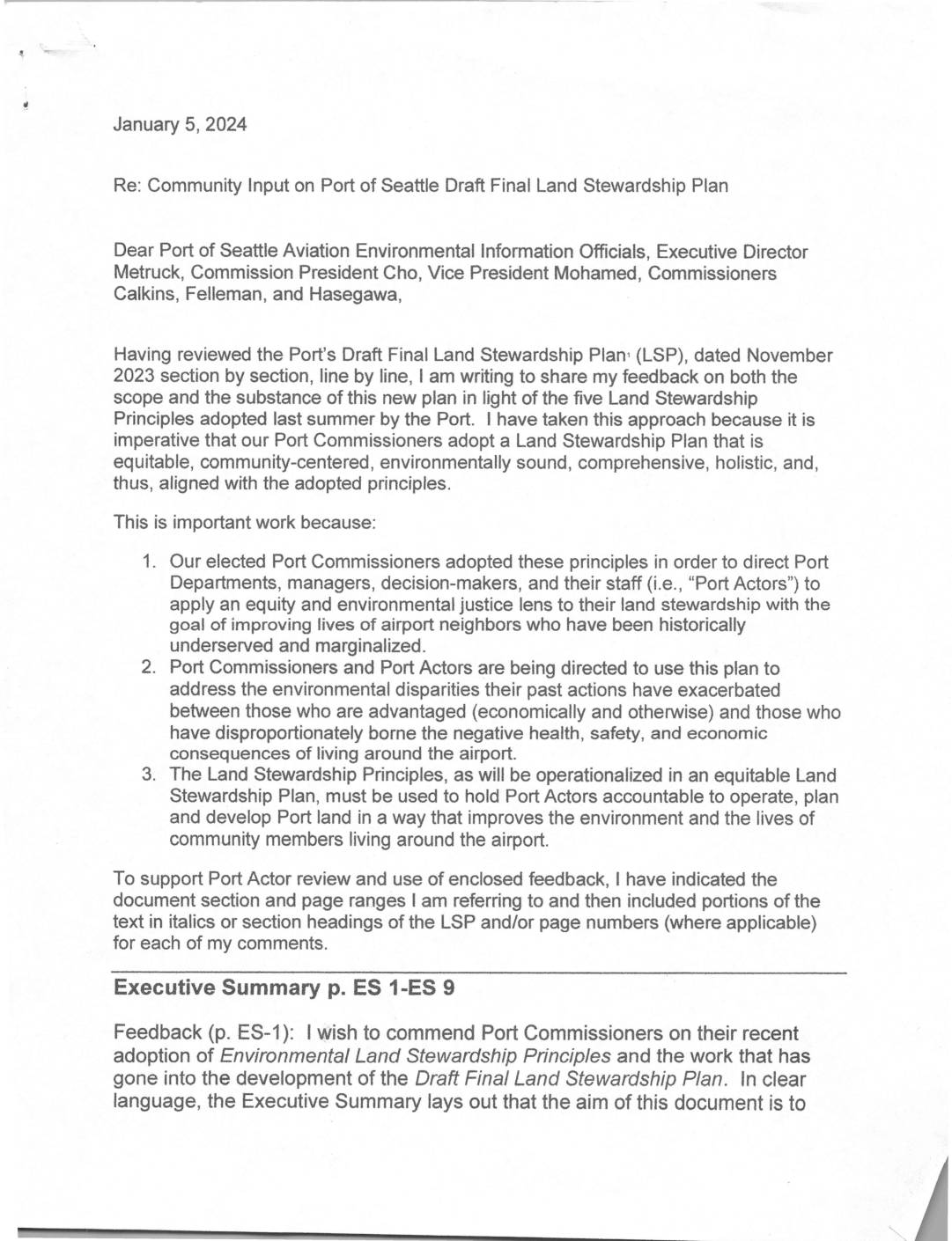
Community Input on Port Of Seattle Draft Final Land Stewardship Plan
A community member submitted detailed feedback to Port of Seattle officials on January 5, 2024, reviewing the Draft Final Land Stewardship Plan (LSP) for Seattle-Tacoma International Airport. The letter argues that the plan falls short of the Port's own adopted Environmental Land Stewardship Principles, particularly regarding equity, environmental justice, and restoration of habitats degraded by past Port actions. The writer urges Port decision-makers to strengthen the plan by embedding equity goals across all objectives, expanding the definition of land stewardship to include restoration, and better addressing the historical health, noise, and environmental burdens borne by communities living near the airport. -
 2023-11-07
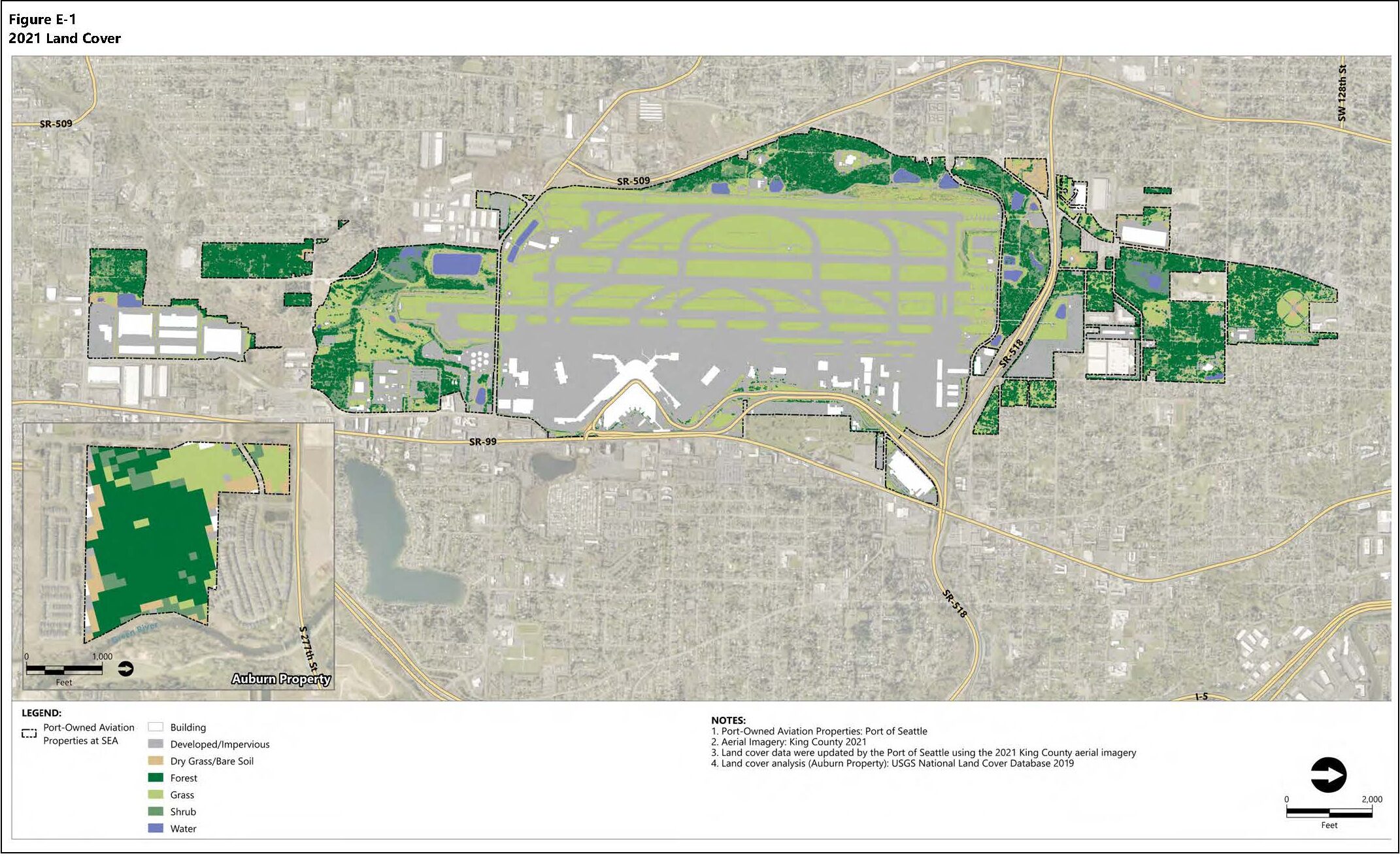
Port Of Seattle 2021 Land Cover Classifications Map — Sea-Tac Airport Aviation Properties
Figure E-1 from a Port of Seattle document depicting 2021 land cover classifications for Port-owned aviation properties at Seattle-Tacoma International Airport (SEA) and an Auburn Property inset. Land cover categories include forest, grass, shrub, water, developed/impervious surfaces, and buildings, based on 2021 King County aerial imagery and USGS National Land Cover Database 2019. -
 2023-11-01
Final Land Stewardship Plan
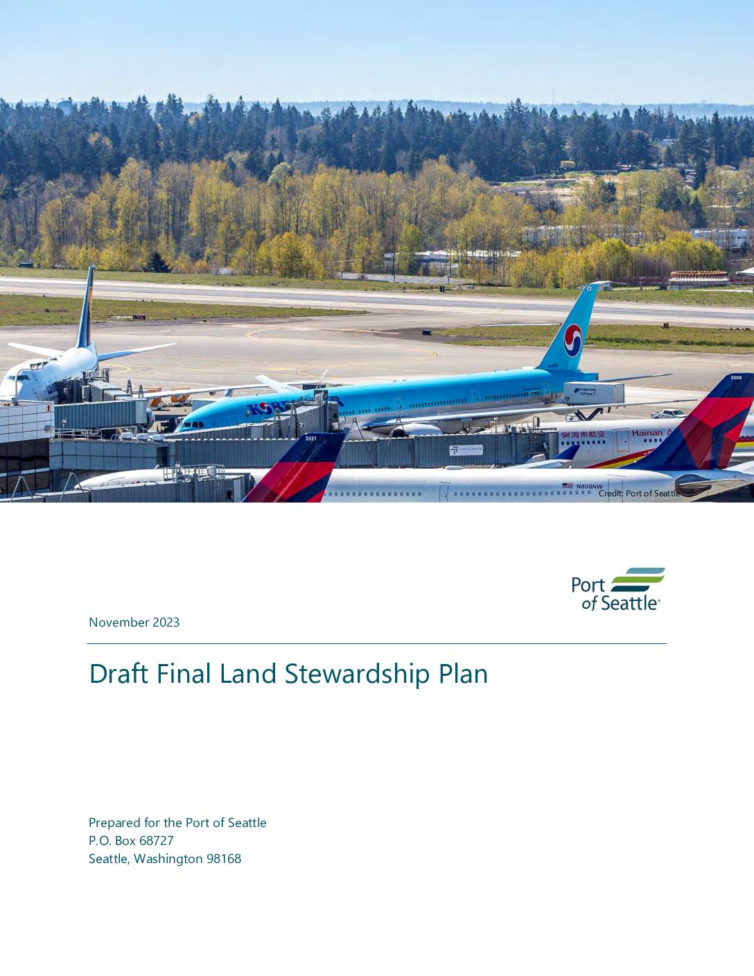
The Port of Seattle's Final Land Stewardship Plan (November 2023) outlines a framework for managing and improving the natural lands surrounding Seattle-Tacoma International Airport (SEA), covering ecological inventory, land use assessment, and stewardship recommendations across defined management units. The plan establishes priorities for habitat preservation, tree canopy protection, and community equity considerations in relation to airport operations. It was developed collaboratively by Port of Seattle staff across aviation, seaport, and real estate divisions, along with environmental consulting firm Anchor QEA, LLC. -
 2023-11-01
Draft final land stewardship plan
The Port of Seattle's Draft Final Land Stewardship Plan (November 2023) outlines a framework for managing and improving the natural lands surrounding Seattle-Tacoma International Airport (SEA), including ecological assessments, tree canopy policies, and habitat stewardship recommendations. The plan identifies management units across Port-owned properties, evaluates their ecological conditions, and prioritizes conservation and restoration actions. It also considers equity and community access, aiming to balance airport operational needs with environmental sustainability goals. -
 2023-08-28
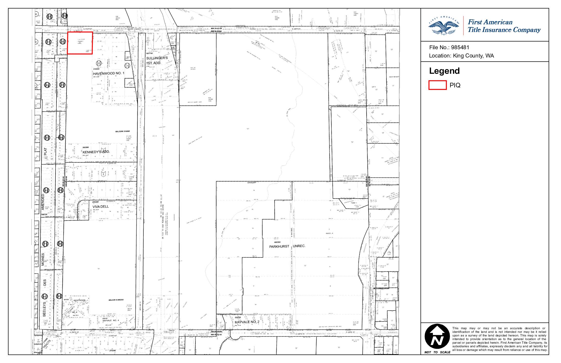
Location Map: King County, WA (File No. 985481)
This is a parcel map prepared by First American Title Insurance Company for File No. 985481, identifying land located in King County, Washington. The map provides a general geographic orientation of one or more parcels in the area, encompassing subdivisions such as Havenwood No. 1, Kennedy's Addition, Viva Dell, and Mayvale No. 2. The document is not intended to serve as a legal survey and carries an express disclaimer of liability for any reliance on its contents. -
 2023-08-28
ALTA Commitment for Title Insurance (8-1-16) — First American Title Insurance Company, File No. NCS-985481-WA1
This is a 2016 ALTA Commitment for Title Insurance issued by First American Title Insurance Company (File No: NCS-985481-WA1) for a property in Washington State. The document outlines the company's offer to issue title insurance policies, subject to specific requirements and conditions, and defines the terms under which coverage would be provided. It includes standard commitment conditions covering definitions, limitations of liability, arbitration provisions, and the rights and obligations of all parties involved in the title insurance process. -
 2001-06-22
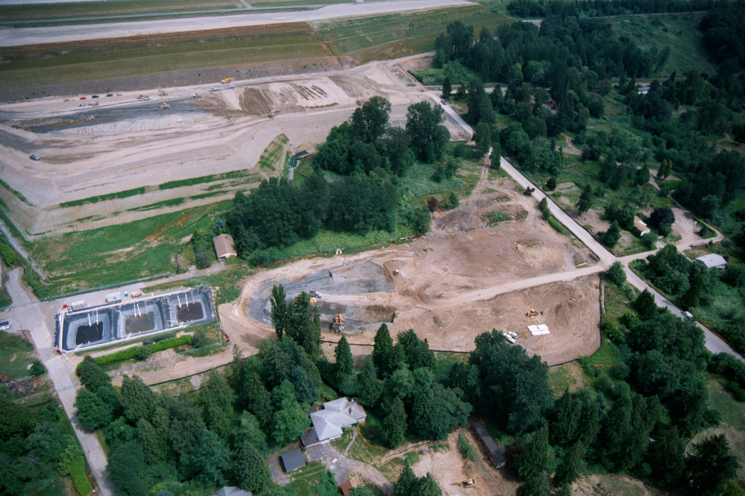
Aerial View of Earthwork and Grading Operations Near Sea-Tac Airport Runway
Aerial photograph showing large-scale earthwork and grading operations adjacent to what appears to be an airport runway (visible at top). The scene includes rectangular water/sedimentation basins at lower left, heavy equipment, disturbed soil, and surrounding residential and forested areas consistent with airport expansion or noise mitigation land acquisition activity. -
 2001-06-22
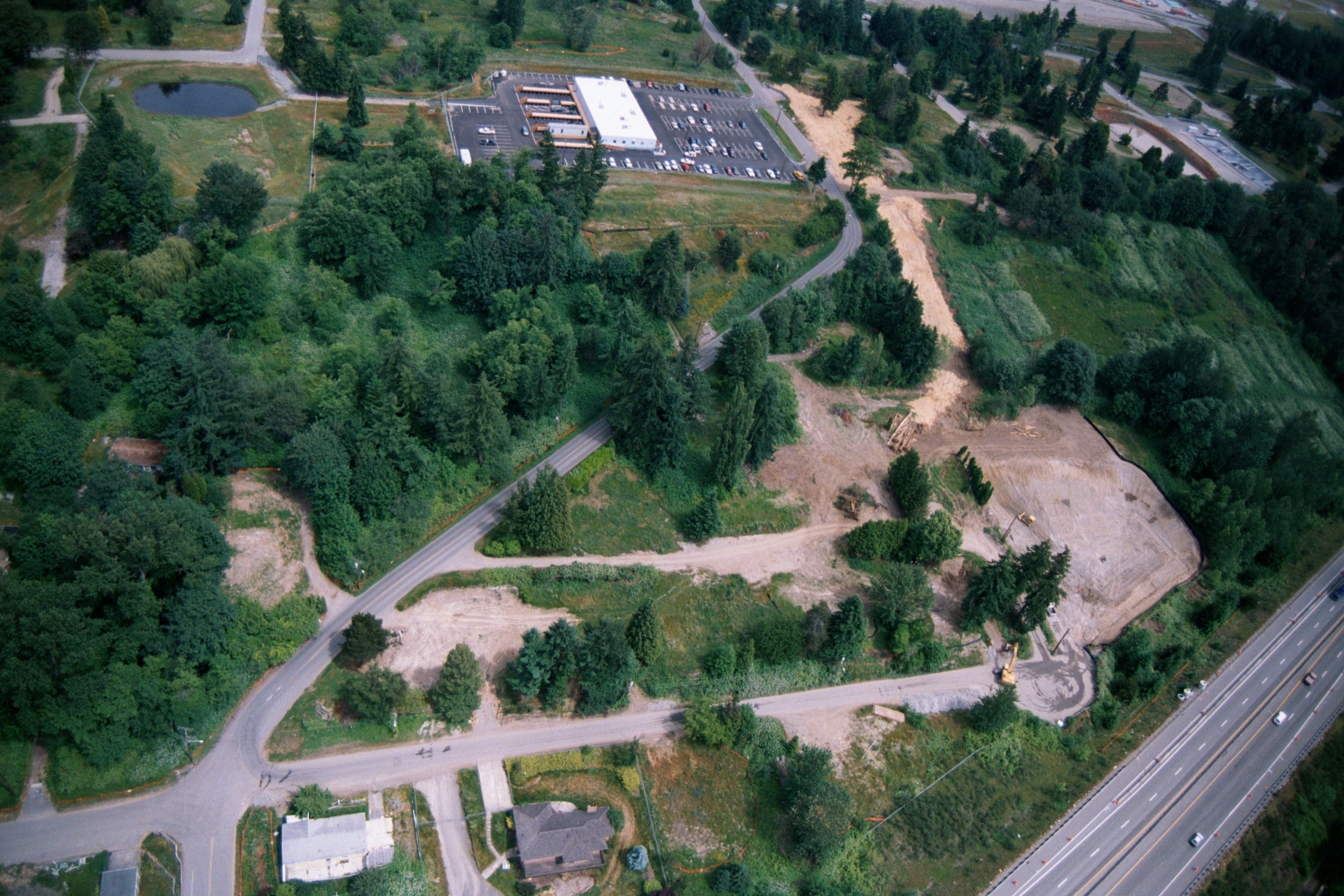
Aerial View of Land Clearing and Grading Operations Near Highway
Aerial photograph showing active land clearing and grading operations adjacent to a multi-lane highway (visible at right), with a commercial building and parking lot visible in the upper center. The site shows exposed soil, construction equipment, dirt access roads, and surrounding forested areas consistent with pre-development site preparation, potentially related to airport noise buffer land acquisition or compatible land use development. -
 2001-06-22
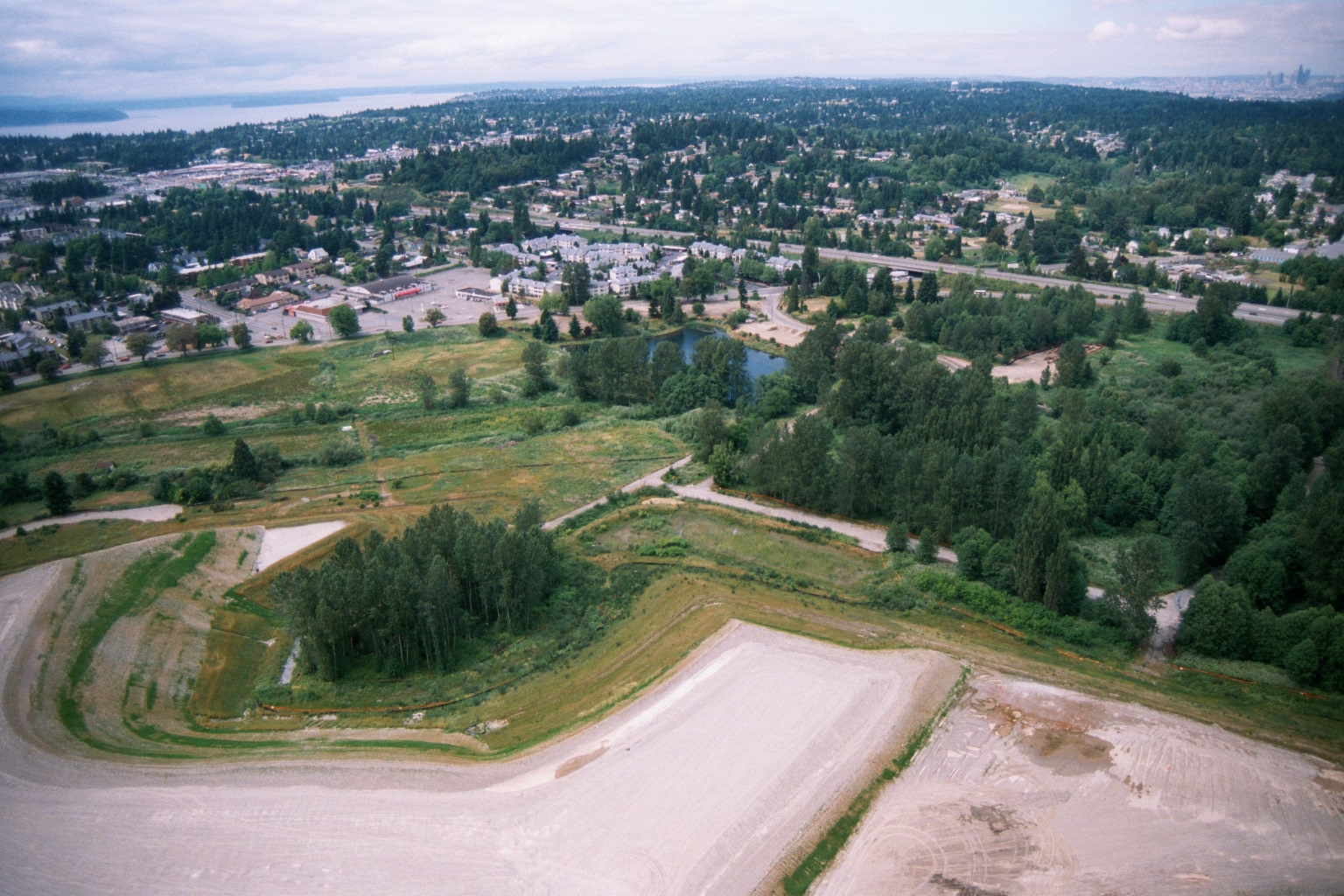
Aerial View of Cleared Parcel Near Suburban Area with Puget Sound in Background
Aerial photograph showing a large cleared/graded parcel in the foreground with gravel or compacted earth surfaces, adjacent to vegetated open space with a small pond or retention basin. A suburban residential and commercial area is visible in the background, with what appears to be a large body of water (likely Puget Sound) on the horizon, consistent with the greater Seattle/Sea-Tac region.