TagNoise(262)
-
 1993-01-26
RCAA Regional Commission on Airport Affairs information packet
The Regional Commission on Airport Affairs (RCAA) was a coalition of cities and citizen groups in the Puget Sound region that opposed the proposed third dependent runway at Seattle-Tacoma International Airport in the early 1990s. The organization compiled expert research and white papers covering noise impacts, public health effects, environmental and social consequences, and economic costs associated with airport expansion. Their goal was to identify financially feasible and environmentally responsible alternatives to meet the region's air capacity needs without further expanding Sea-Tac. -
 1993-01-14
Regional Commission on Airport Affairs Book #1
This is Book #1 of materials compiled by the Regional Commission on Airport Affairs (RCAA), a coalition of community organizations and cities in the Puget Sound region, submitted to the Transportation Policy Board in January 1993. The packet presents expert reports on air traffic forecasting, economic impacts, noise, effects on children's education, public health, and air pollution—all focused on the proposed expansion of Seattle-Tacoma (Sea-Tac) International Airport. The RCAA argues against airport expansion on the grounds of quality of life, environmental harm, and equity for surrounding communities. -
 1993-01-01
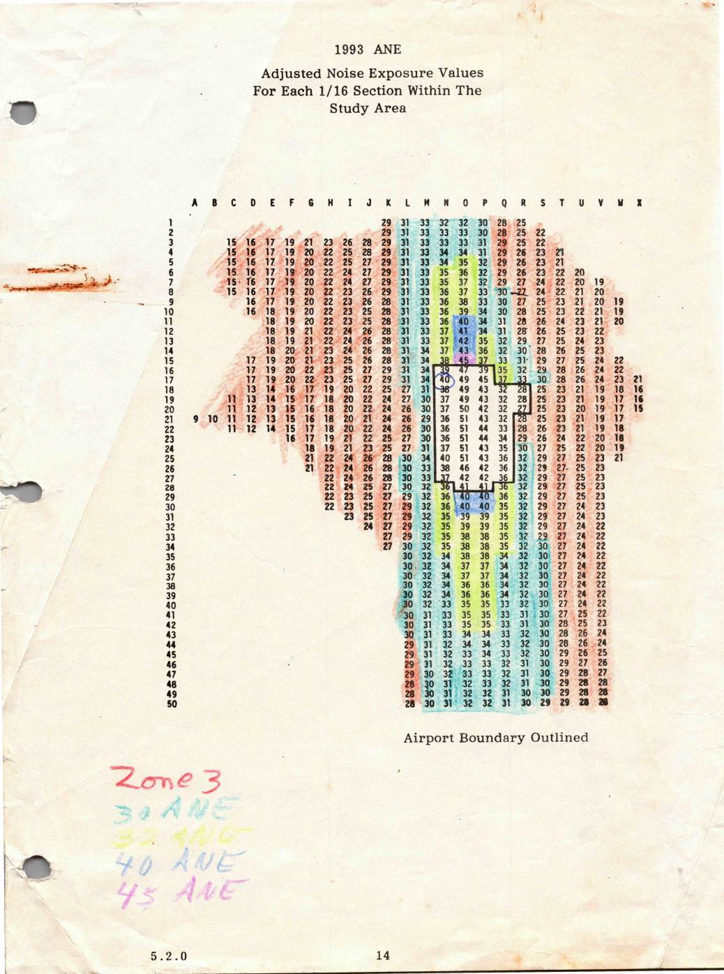
1993 ANE: Adjusted Noise Exposure Values for Each 1/16 Section Within the Study Area
This 1993 document presents Adjusted Noise Exposure (ANE) values for each 1/16 section within the Sea-Tac Airport study area, displayed as a grid referenced by row numbers (1–50) and column letters (A–X). The values represent measured noise levels across the surrounding region, with higher readings concentrated near the airport boundary and lower values toward the outer edges of the study area. Handwritten annotations indicate noise zone classifications at 30, 33, 40, and 45 ANE thresholds, which were used to define noise impact zones for land use planning purposes. -
 1992-12-10
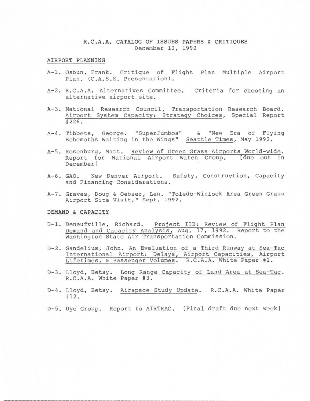
R.C.A.A. catalog of issues papers & critiques
This December 1992 catalog from R.C.A.A. (Residents for Conscious Airport Activity) lists research papers, critiques, and white papers organized by topic—including airport planning, demand and capacity, economics, health, environmental impacts, and noise—all relating to Sea-Tac International Airport expansion. Key concerns addressed include aircraft noise measurement and the adequacy of the 65 Ldn noise metric, air and water pollution from airport expansion, and the evaluation of alternative airport sites. The catalog reflects community and expert opposition to Sea-Tac's third runway proposal and broader regional airport policy decisions in the Puget Sound area. -
 1992-10-05
Airport Alternative Committee October 5, 1992 meeting notes
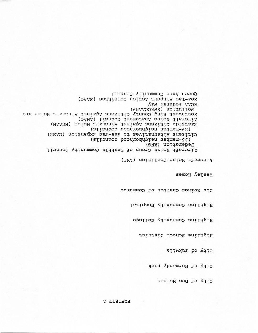
These documents relate to the Airport Alternative Committee's October 1992 meeting, which brought together cities, community organizations, and citizen groups concerned about aircraft noise around Seattle-Tacoma (Sea-Tac) Airport. The committee evaluated criteria and requirements for addressing airport expansion, including minimizing noise impact on the largest number of people, maximizing aircraft and ground safety, and providing 750 operations capacity by the year 2020. Alternative airport sites such as Vancouver, Black Lake, Fort Lewis, Portland, McCord, Arlington, and SeaTac were also discussed. -
 1992-10-05
The adverse health impacts of airport expansion with particular reference to Sea-Tac International Airport
A 1992 report by physicians from the Regional Coalition on Airport Affairs details the serious health risks posed by Sea-Tac International Airport's noise and air pollution on surrounding communities. It documents links between airport noise and increased use of tranquilizers, psychiatric hospitalizations, sleep disruption, lower birth weights, and declining school test scores, while also noting that Sea-Tac generates up to 5% of all air pollution in King County. The report argues that airport expansion would significantly worsen these already measurable public health impacts on South King County residents. -
 1992-03-06
Letter from James D. Chalupník to Richard Aramburu Regarding Sea-Tac Aircraft Noise Study 2: Ldн Metric and Integrated Noise Model
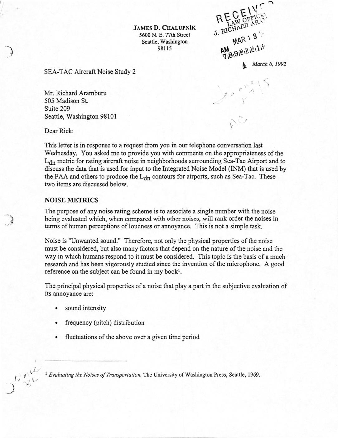
In this 1992 letter, acoustics expert James D. Chalupník explains to attorney Richard Aramburu how aircraft noise near Seattle's Sea-Tac Airport is measured and rated, focusing on the appropriateness of the Ldn metric and the data used in the FAA's Integrated Noise Model (INM). He outlines the key physical properties of noise—intensity, frequency distribution, and fluctuation over time—and describes how various weighting schemes, particularly the A-weighting (dBA) scale, are used to approximate human perception of loudness and annoyance. The letter also notes the limitations of simpler metrics and introduces more sophisticated rating methods such as Stevens' Loudness Level and Perceived Noise Level for evaluating aircraft noise. -
 1992-03-02
Handwritten notes on community organizations and airport noise
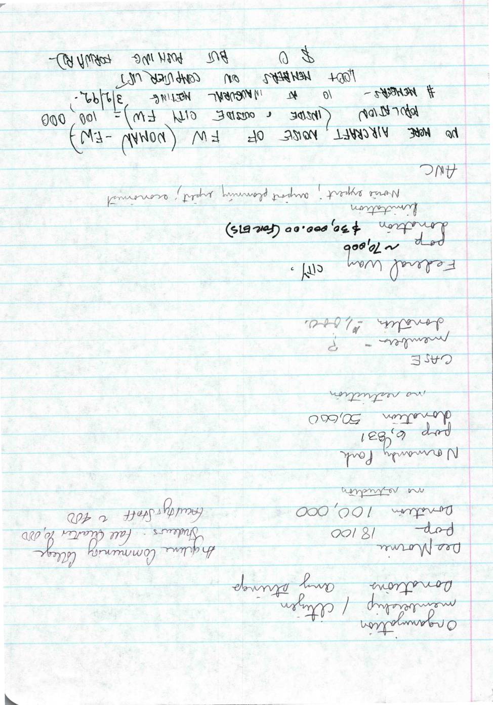
This handwritten document appears to be notes from an early 1992 meeting (dated 3/2/92) concerning aircraft noise policy near Sea-Tac Airport, referencing a group opposed to further aircraft noise and seeking members from both inside and outside city limits, with a target population of 100,000. The notes outline several case studies of organizations and community colleges receiving donations ranging from $50,000 to $100,000, apparently as part of noise mitigation or community foundation funding efforts. Key concerns include growing a membership list beyond those already on a computer list and organizing inaugural meetings to advance the no-more-aircraft-noise agenda. -
 1992-01-23
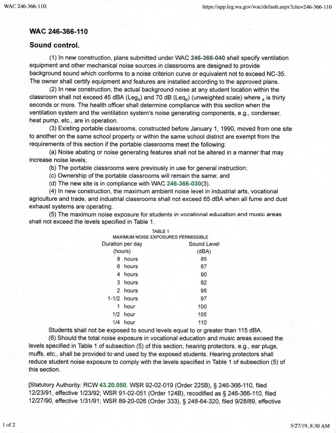
WAC 246-366-110: Sound control
WAC 246-366-110 sets sound control standards for Washington State school classrooms, requiring that background noise in new construction not exceed NC-35 on the noise criterion curve, with actual noise levels capped at 45 dBA during normal operation. Industrial and vocational classrooms have separate limits, with ambient noise not to exceed 65 dBA when exhaust systems are running. In music and vocational education areas, student noise exposure is strictly regulated by duration, and hearing protection must be provided if exposure limits are exceeded. -
 1991-01-01
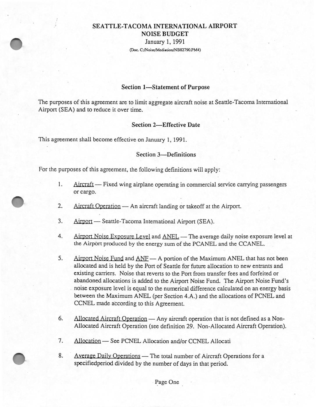
Seattle-Tacoma International Airport Noise Budget, January 1, 1991
The Seattle-Tacoma International Airport Noise Budget, effective January 1, 1991, is a formal agreement designed to limit and gradually reduce overall aircraft noise levels at Sea-Tac Airport. It establishes a system of noise allocations assigned to individual passenger and cargo carriers, measured through defined noise exposure levels, with limits enforced on both a quarterly and annual basis. The agreement outlines key definitions and rules governing how noise is measured, allocated, and managed, including provisions for new entrants, international carriers, and government aircraft.