TagLand Use(212)
-
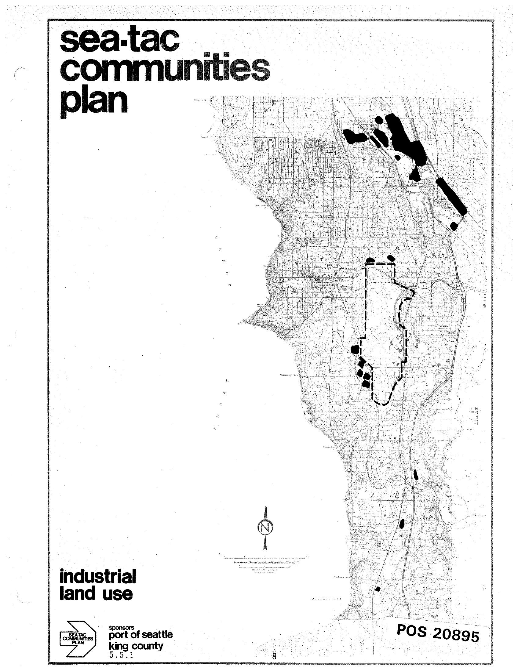
Sea-Tac Communities Plan Industrial Land Use Map
A planning document titled 'Sea-Tac Communities Plan' showing an industrial land use map of the Sea-Tac area, sponsored by the Port of Seattle and King County (document reference 5.5.1). The map highlights industrial land use zones in black, with a dashed boundary indicating a specific study or airport area, and is catalogued as POS 20895. -
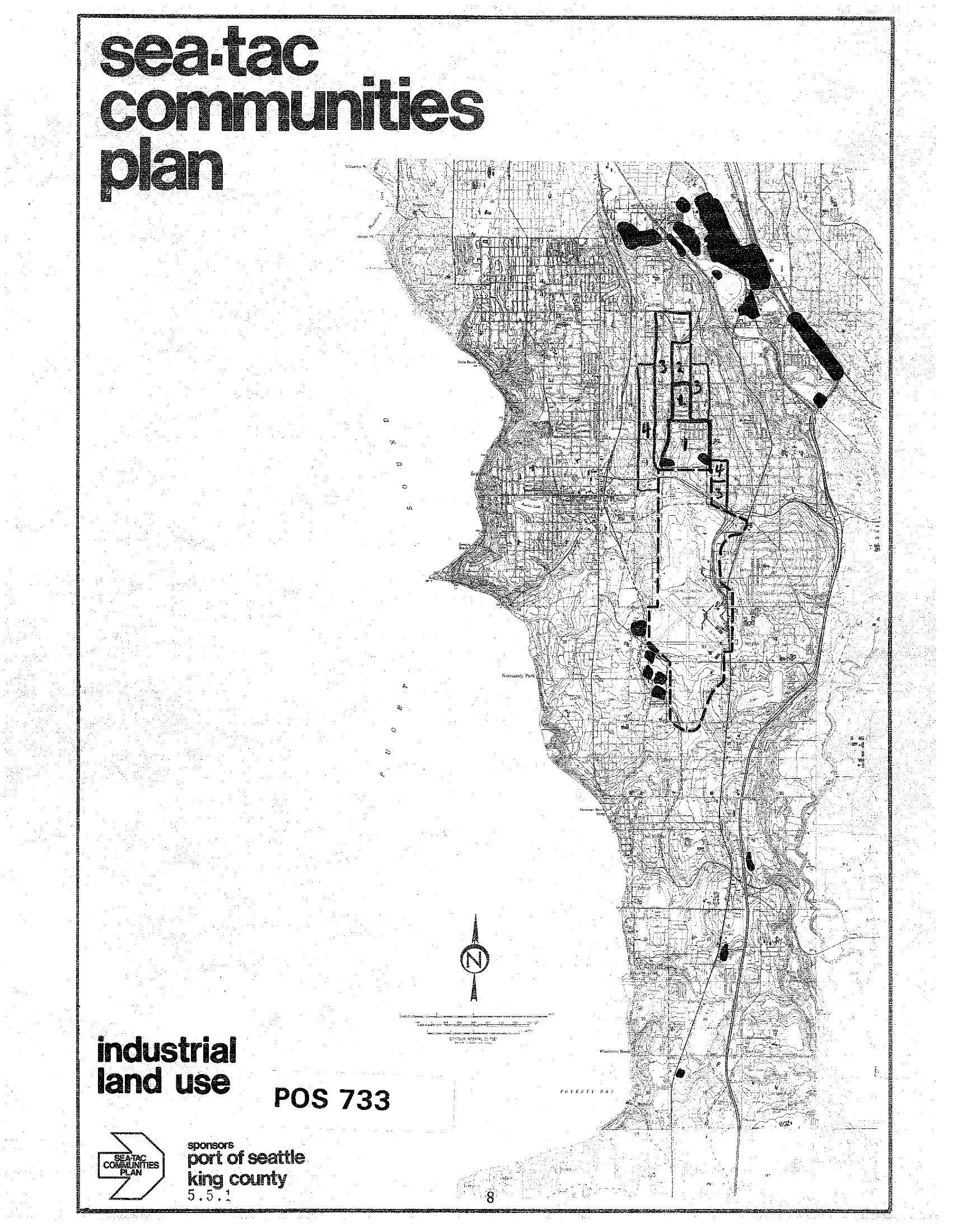
Sea-Tac Communities Plan – Industrial Land Use Map (POS 733)
A land use planning map labeled 'Sea-Tac Communities Plan – Industrial Land Use, POS 733,' sponsored by the Port of Seattle and King County (document reference 5.5.1). The map depicts industrial land use zones in the Sea-Tac area, with numbered zones and shaded areas indicating industrial designations, oriented with a north arrow and scale bar. -
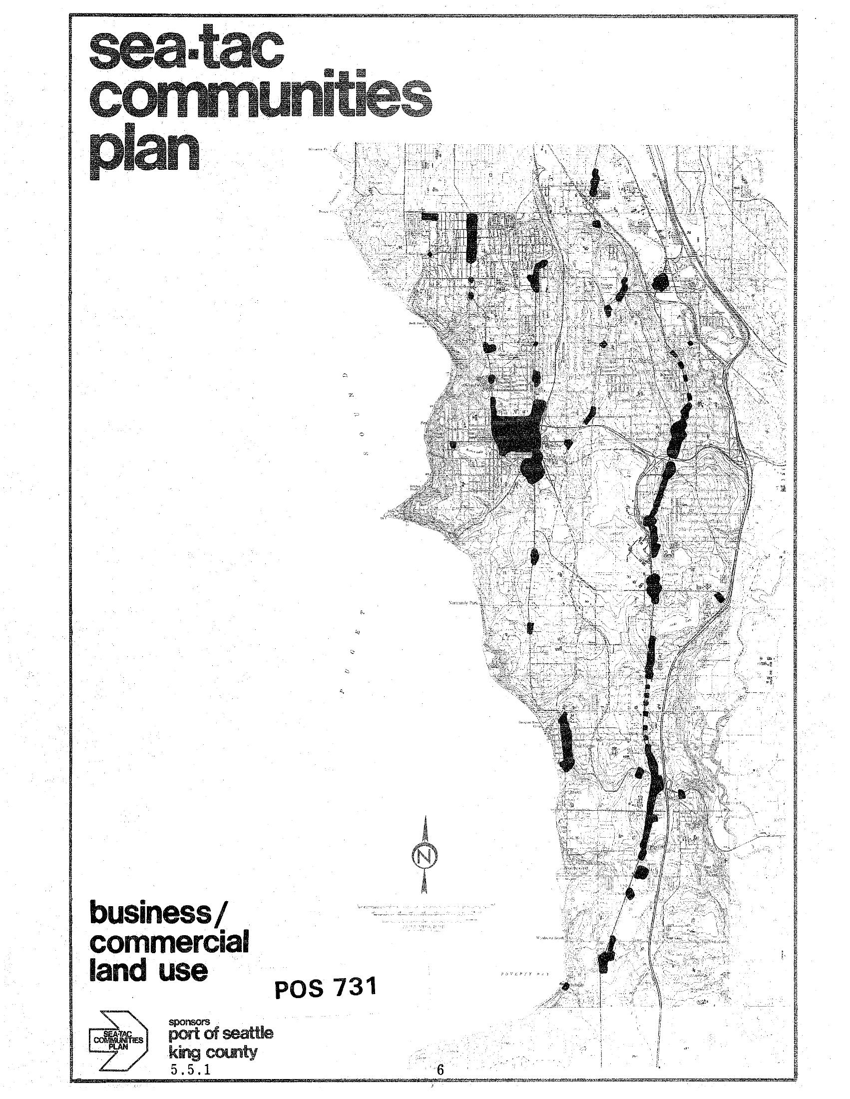
Sea-Tac Communities Plan — Business/Commercial Land Use Map (POS 731, Section 5.5.1)
Cover page of the Sea-Tac Communities Plan document titled 'Business/Commercial Land Use,' reference number POS 731, section 5.5.1. The plan was sponsored by the Port of Seattle and King County, and features a black-and-white map depicting commercial land use zones in the Sea-Tac area. -
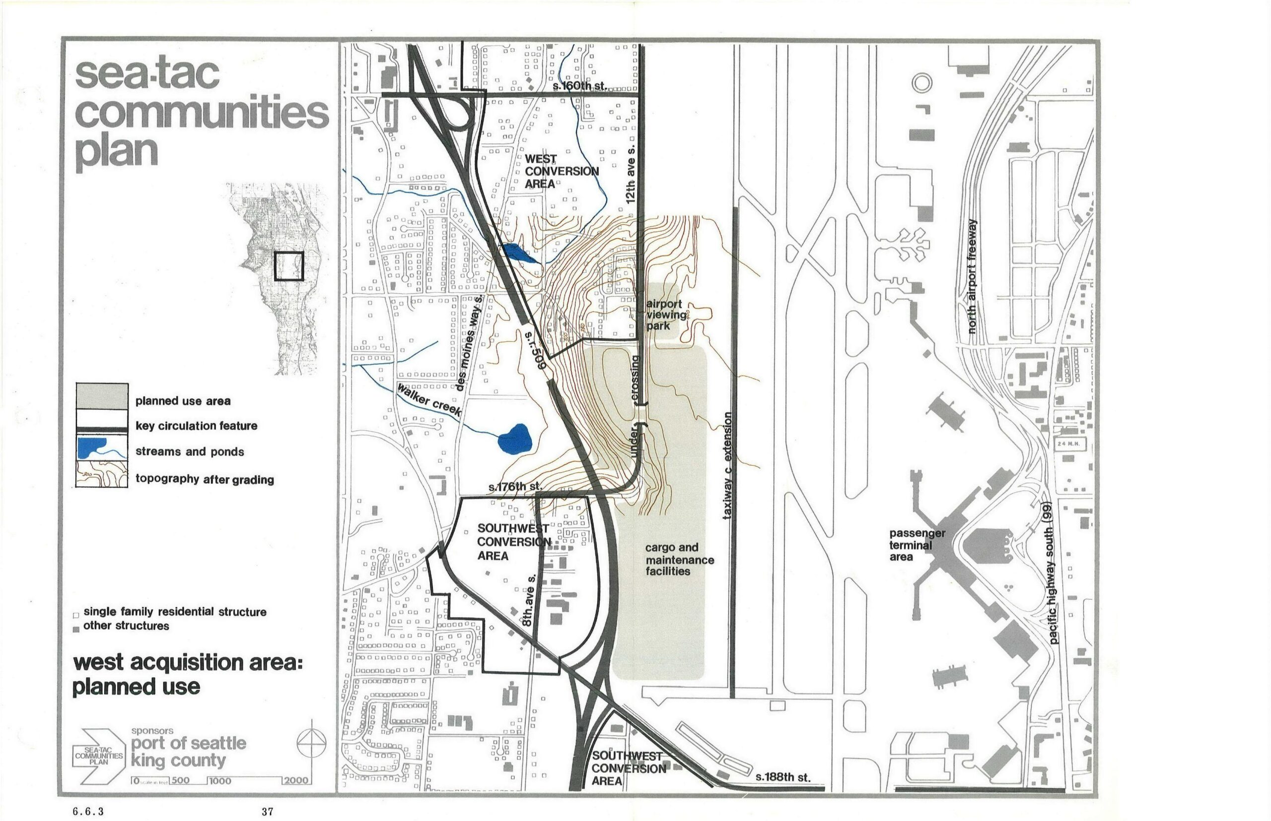
Sea-Tac Communities Plan West Acquisition Area Planned Land Use Map
This planning map, sponsored by the Port of Seattle and King County, depicts the West Acquisition Area planned land uses near Seattle-Tacoma International Airport, showing the West Conversion Area, Southwest Conversion Area, cargo and maintenance facilities, airport viewing park, taxiway C extension, and key circulation features including SR-509 and Des Moines Way S. The map is labeled as page 37, section 6.6.3 of the Sea-Tac Communities Plan. -
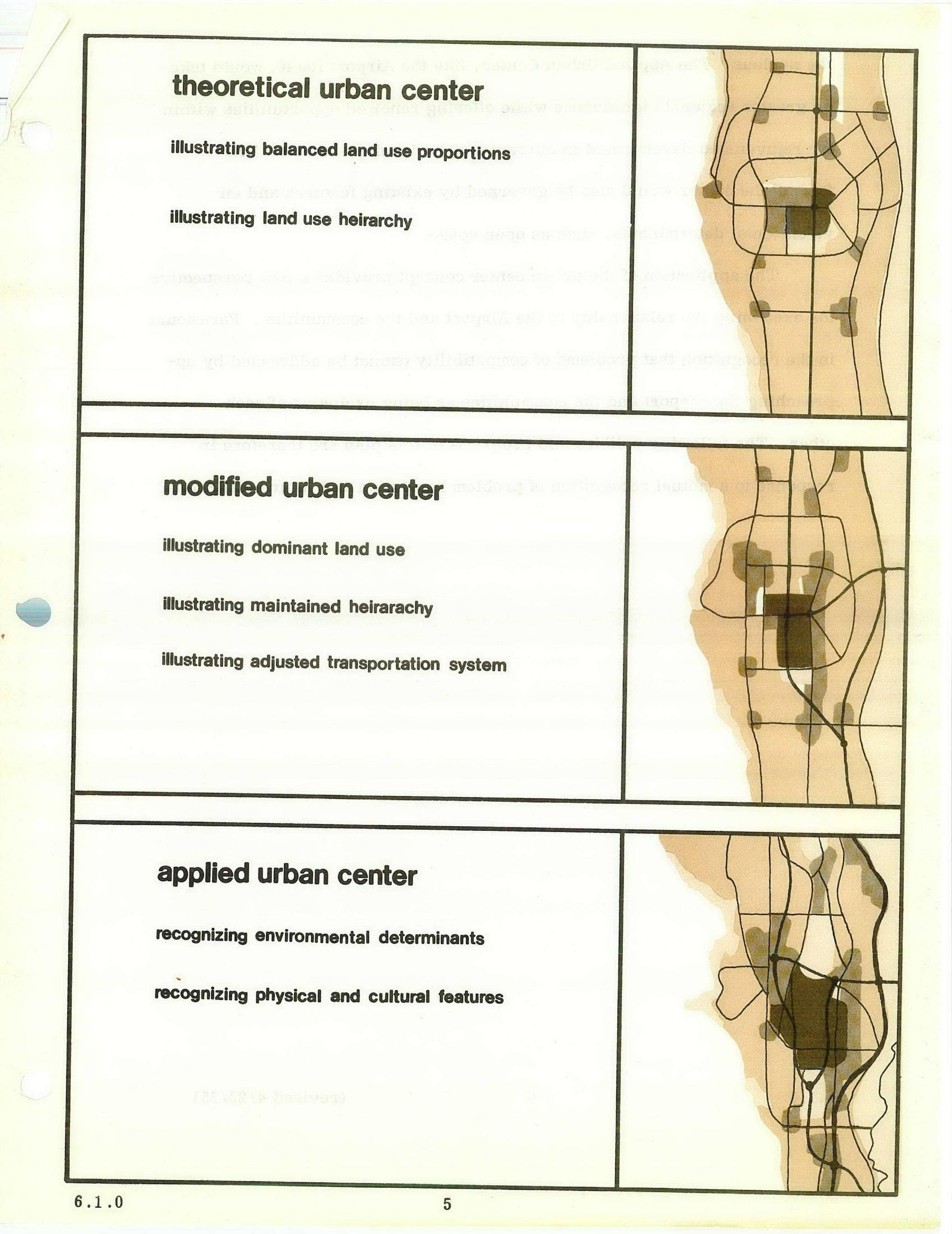
STCP Chapter 6 Urban Center Diagrams: Theoretical, Modified, and Applied Models
A planning document page comparing three urban center models — theoretical, modified, and applied — each with accompanying schematic maps illustrating land use proportions, hierarchy, transportation systems, and environmental determinants. The diagrams appear to be from an urban planning study, possibly related to land use and transportation analysis near an airport or metropolitan area, numbered page 5 under section 6.1.0. -
 2026-06-28
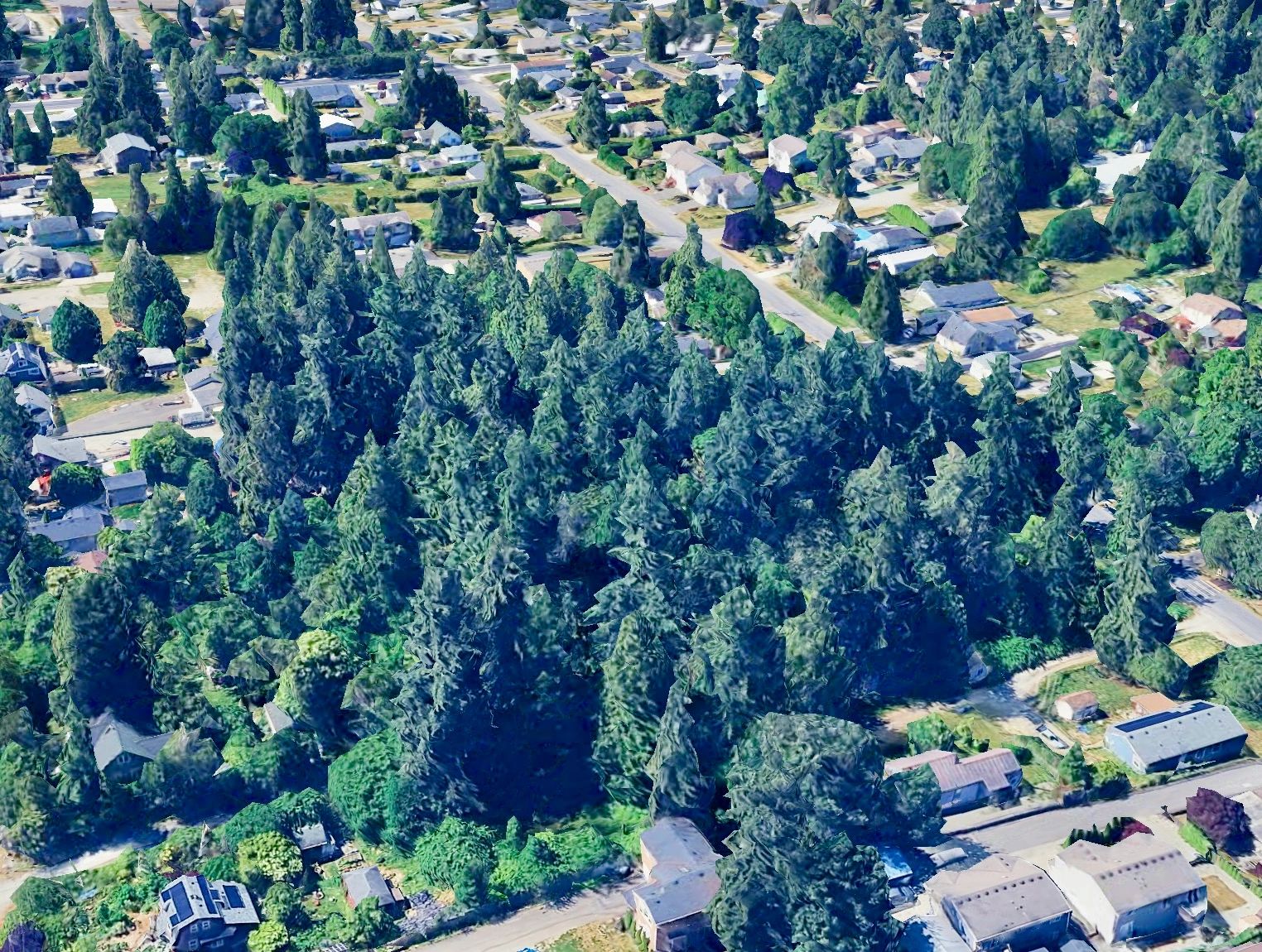
Cedarhurst Neighborhood: Opposing Industrial Rezoning in Burien
Building Community support with Neighbors Building Community support with Neighbors Building Community support with Neighbors What is this all about anyway? Coming together to help our neighborhood Our platform aims to foster a strong community identity, which celebrates the unique and charming aspects of our Cedarhurst Neighborhood. We are nestled within the larger -
 2026-06-08
Part 150 Study Technical Review Committee Meeting #6
Presentation slides for the sixth meeting of the Part 150 Study Technical Review Committee (TRC) for Seattle-Tacoma International Airport, held June 8, 2026. The meeting covered potential Noise Compatibility Program (NCP) measures including noise abatement, land use, and program management. The agenda also included a review of the previous meeting summary, project schedule, and future -
 2026-02-11
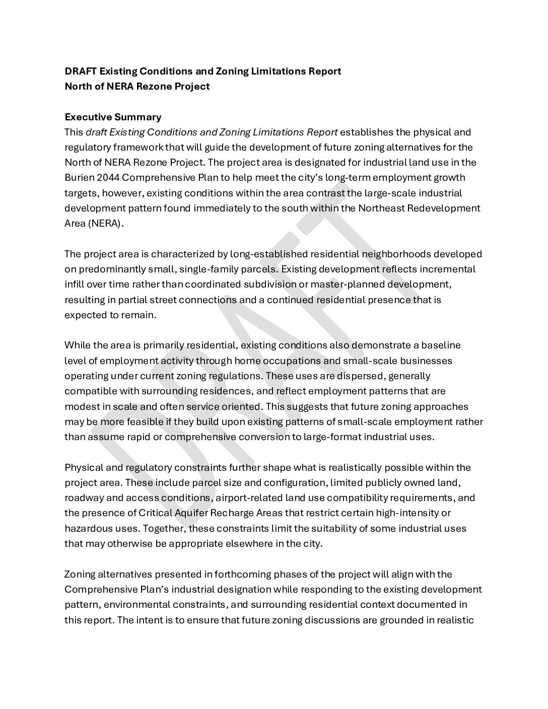
Draft Existing Conditions and Zoning Limitations Report: North of NERA Rezone Project
The City of Burien is studying whether to rezone a residential neighborhood along its eastern border with SeaTac for industrial or employment uses, as required by the Burien 2044 Comprehensive Plan. The area's small single-family parcels, limited road access, and proximity to Seattle-Tacoma International Airport — including airport-related land use compatibility requirements — constrain what kinds of development are realistically possible. This draft report documents those physical and regulatory limitations to guide future zoning decisions that balance job-growth targets with the neighborhood's existing character. -
 2026-01-06
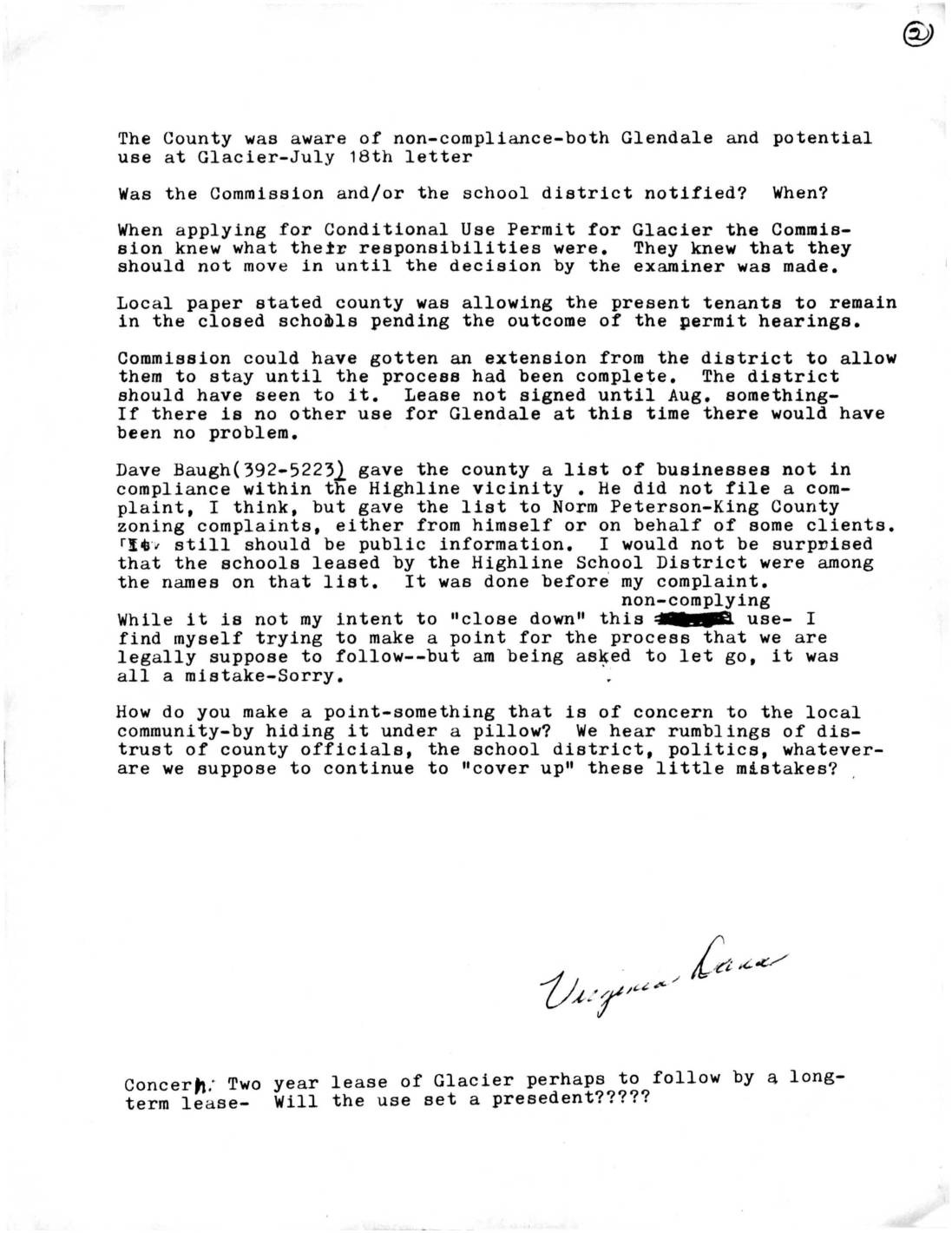
Letter from Virginia Lane Regarding Zoning Non-Compliance at Glendale and Glacier Schools
A community member raises concerns about zoning non-compliance at closed Highline School District schools, including Glendale and Glacier, noting that the County was aware of violations as early as a July 18th letter. The document questions whether proper permitting processes were followed before tenants moved into Glacier, and references a list of non-compliant businesses in the Highline vicinity submitted to King County zoning officials. The author expresses broader concern about lack of transparency and accountability among county officials and the school district, and worries that a two-year lease at Glacier could set a long-term precedent. -
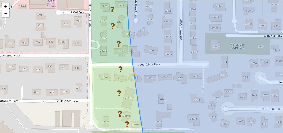
GIS Parcel Map — Akinlosotu Short Plat Area Near 10th and 12th Avenue South, Sea-Tac Airport Noise Review
A GIS map showing residential parcels in the Sea-Tac Airport vicinity, centered on 10th and 12th Avenue South between South 233rd Court and South 235th Place. Green-shaded zones with question mark markers appear to indicate properties under noise impact review or acquisition consideration, bisected by a blue diagonal line likely representing a noise contour or jurisdictional boundary; street addresses and the 'Akinlosotu Short Plat' label are visible.