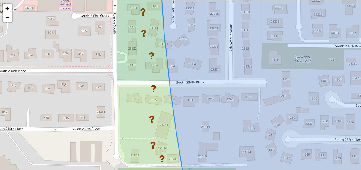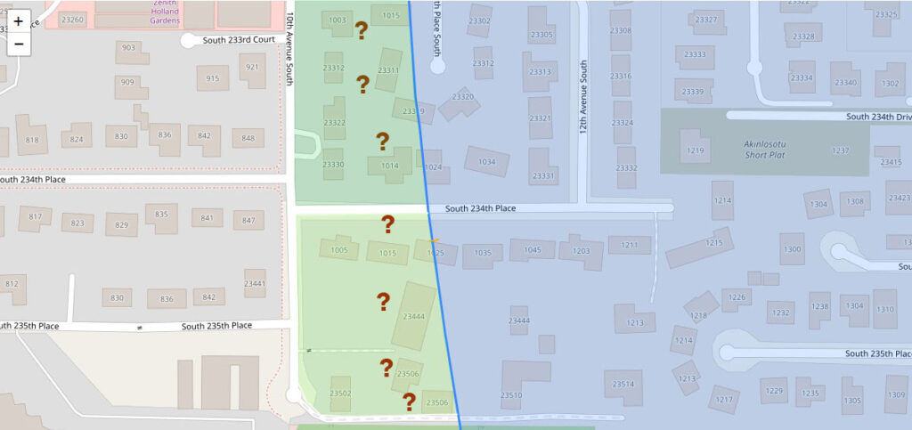
A GIS map showing residential parcels in the Sea-Tac Airport vicinity, centered on 10th and 12th Avenue South between South 233rd Court and South 235th Place. Green-shaded zones with question mark markers appear to indicate properties under noise impact review or acquisition consideration, bisected by a blue diagonal line likely representing a noise contour or jurisdictional boundary; street addresses and the 'Akinlosotu Short Plat' label are visible.Open full document
Notes
A GIS map showing residential parcels in the Sea-Tac Airport vicinity, centered on 10th and 12th Avenue South between South 233rd Court and South 235th Place. Green-shaded zones with question mark markers appear to indicate properties under noise impact review or acquisition consideration, bisected by a blue diagonal line likely representing a noise contour or jurisdictional boundary; street addresses and the ‘Akinlosotu Short Plat’ label are visible.