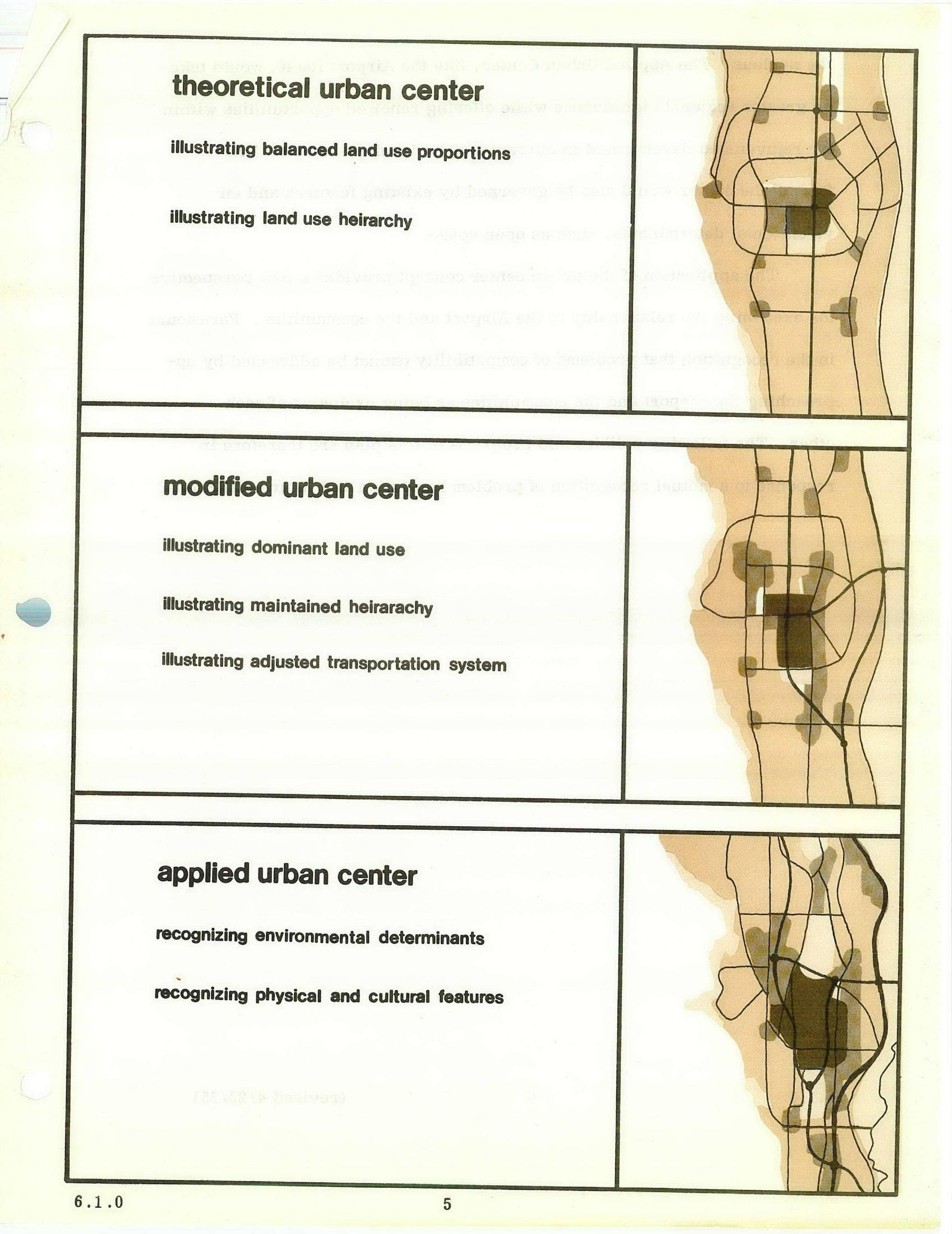
A planning document page comparing three urban center models — theoretical, modified, and applied — each with accompanying schematic maps illustrating land use proportions, hierarchy, transportation systems, and environmental determinants. The diagrams appear to be from an urban planning study, possibly related to land use and transportation analysis near an airport or metropolitan area, numbered page 5 under section 6.1.0.Open full document
Notes
A planning document page comparing three urban center models — theoretical, modified, and applied — each with accompanying schematic maps illustrating land use proportions, hierarchy, transportation systems, and environmental determinants. The diagrams appear to be from an urban planning study, possibly related to land use and transportation analysis near an airport or metropolitan area, numbered page 5 under section 6.1.0.