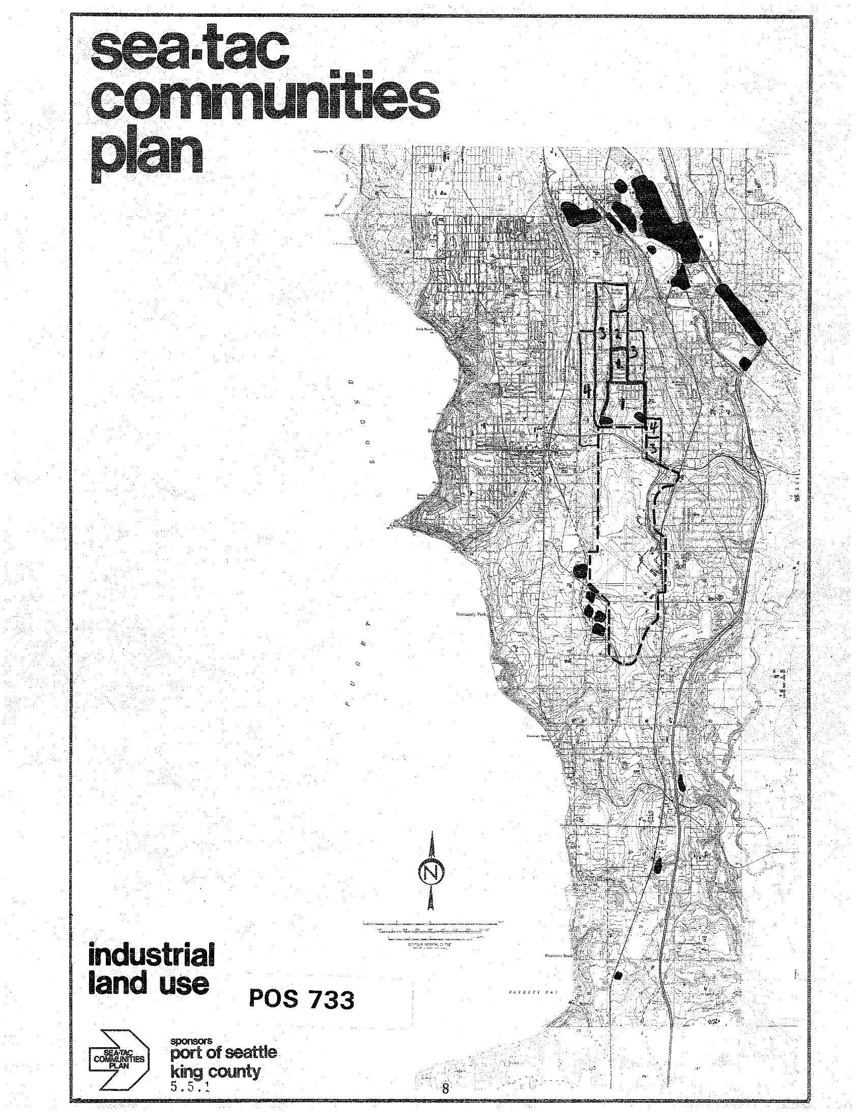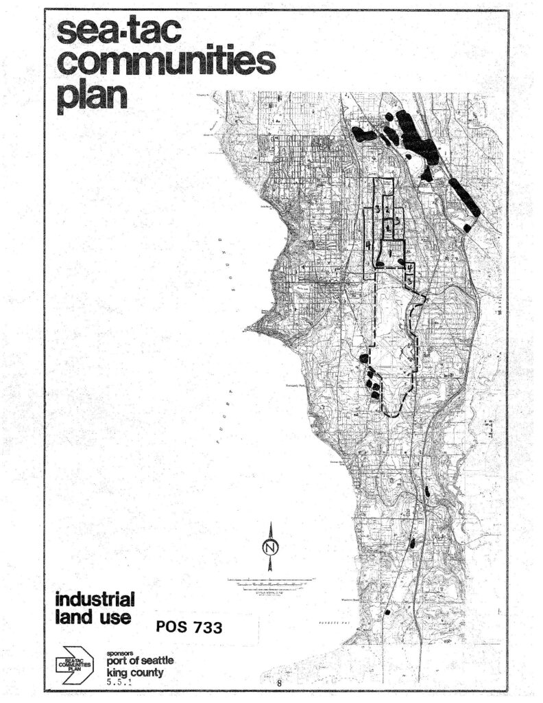
A land use planning map labeled 'Sea-Tac Communities Plan – Industrial Land Use, POS 733,' sponsored by the Port of Seattle and King County (document reference 5.5.1). The map depicts industrial land use zones in the Sea-Tac area, with numbered zones and shaded areas indicating industrial designations, oriented with a north arrow and scale bar.Open full document
Notes
A land use planning map labeled ‘Sea-Tac Communities Plan – Industrial Land Use, POS 733,’ sponsored by the Port of Seattle and King County (document reference 5.5.1). The map depicts industrial land use zones in the Sea-Tac area, with numbered zones and shaded areas indicating industrial designations, oriented with a north arrow and scale bar.