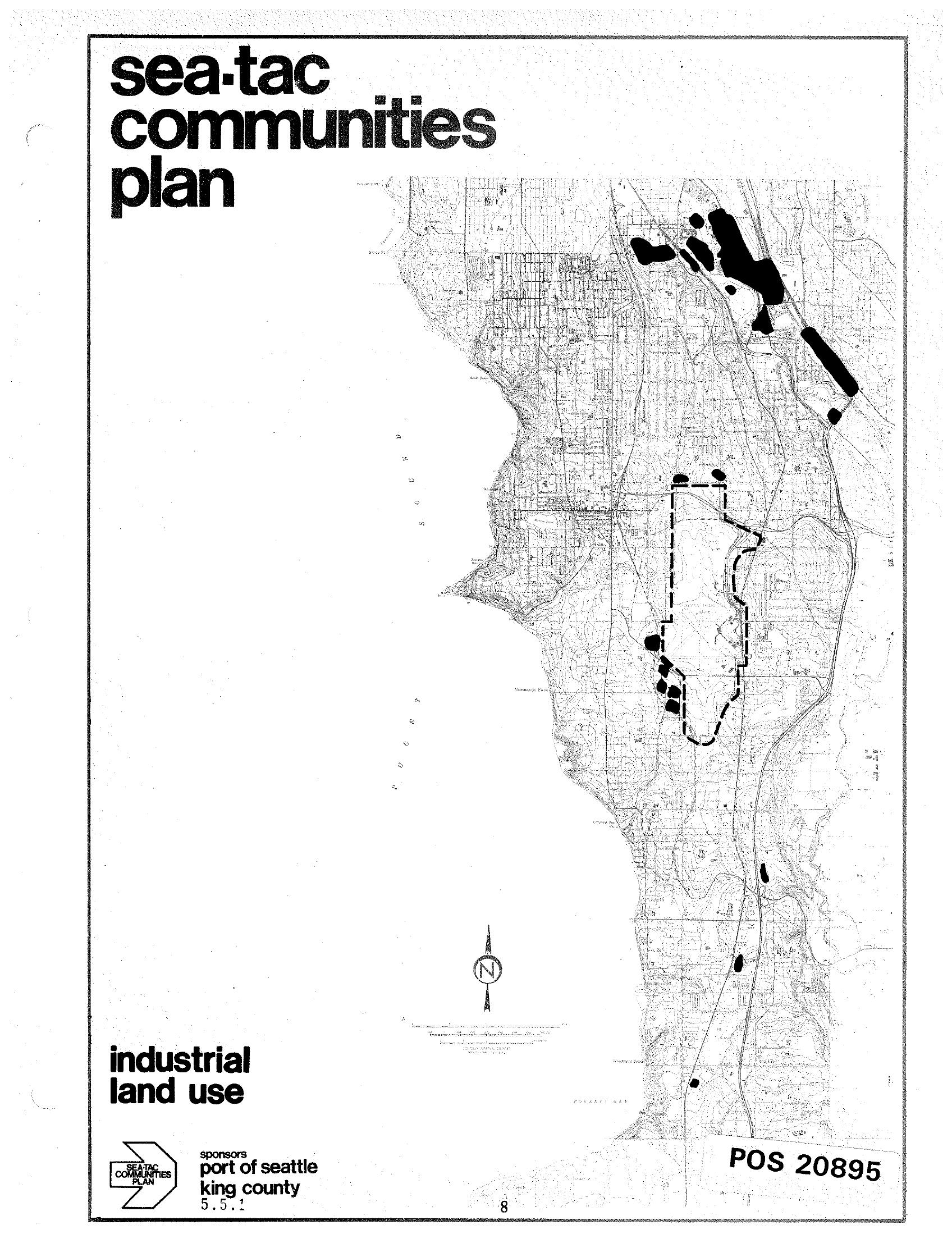
A planning document titled 'Sea-Tac Communities Plan' showing an industrial land use map of the Sea-Tac area, sponsored by the Port of Seattle and King County (document reference 5.5.1). The map highlights industrial land use zones in black, with a dashed boundary indicating a specific study or airport area, and is catalogued as POS 20895.Open full document
Notes
A planning document titled ‘Sea-Tac Communities Plan’ showing an industrial land use map of the Sea-Tac area, sponsored by the Port of Seattle and King County (document reference 5.5.1). The map highlights industrial land use zones in black, with a dashed boundary indicating a specific study or airport area, and is catalogued as POS 20895.