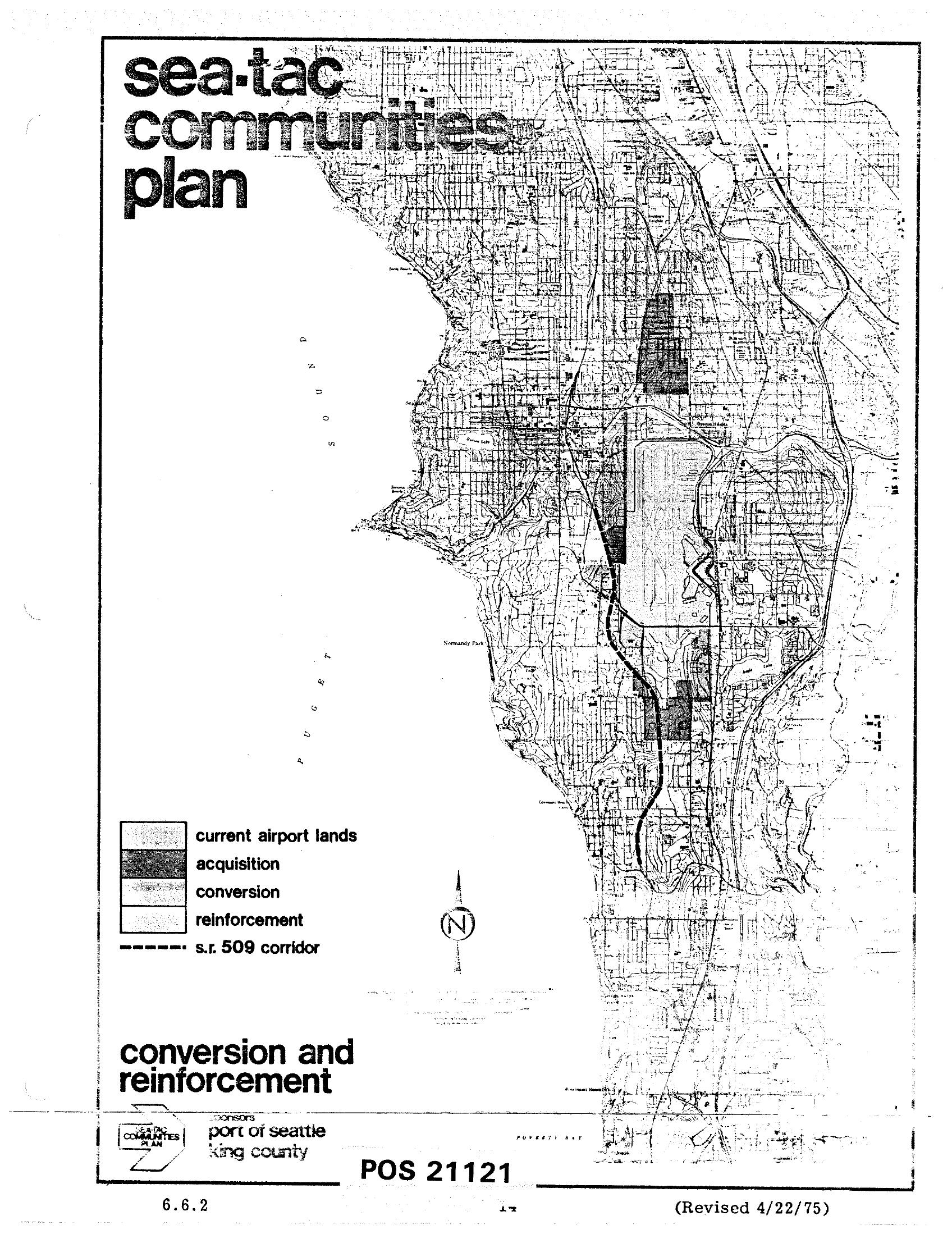
This is map sheet 6.6.2 (POS 21121, revised April 22, 1975) from the Sea-Tac Communities Plan, sponsored by the Port of Seattle and King County. It shows the area around Seattle-Tacoma International Airport with land-use designations including current airport lands, acquisition zones, conversion areas, reinforcement areas, and the proposed S.R. 509 corridor, overlaid on a street grid map extending from Puget Sound eastward.Open full document
Notes
This is map sheet 6.6.2 (POS 21121, revised April 22, 1975) from the Sea-Tac Communities Plan, sponsored by the Port of Seattle and King County. It shows the area around Seattle-Tacoma International Airport with land-use designations including current airport lands, acquisition zones, conversion areas, reinforcement areas, and the proposed S.R. 509 corridor, overlaid on a street grid map extending from Puget Sound eastward.