TagLand Use(212)
-
 2019-09-17
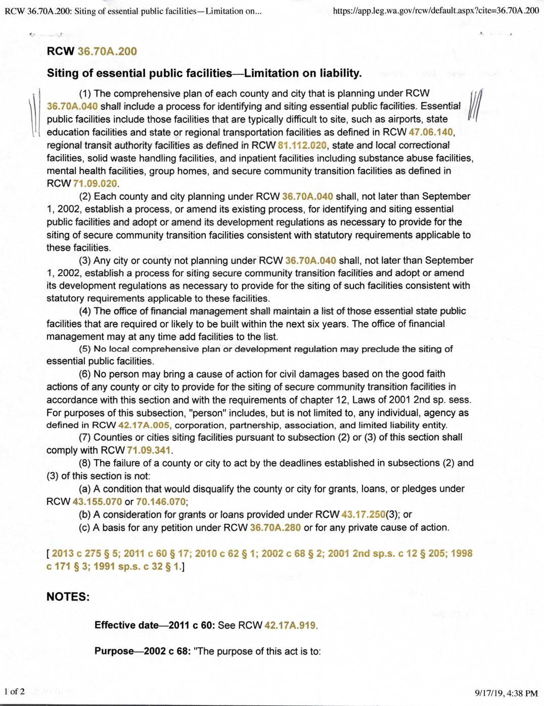
RCW 36.70A.200: Siting of essential public facilities—Limitation on liability
RCW 36.70A.200 requires counties and cities planning under Washington's Growth Management Act to include a process in their comprehensive plans for identifying and siting 'essential public facilities' — those typically difficult to site, such as airports, state education facilities, regional transportation facilities, correctional facilities, solid waste handling facilities, and inpatient care facilities. No local comprehensive plan or development regulation may outright prohibit the siting of these essential public facilities. The Office of Financial Management maintains a list of essential state public facilities likely to be built within the next six years. -
 2017-12-18
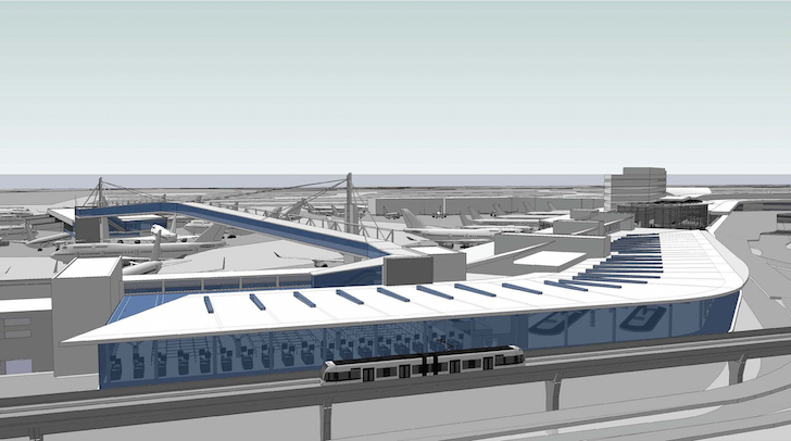
Plans for Expanding SeaTac Leave Me Scratching My Head – Travel Codex
Plans for Expanding SeaTac Leave Me Scratching My Head by Scott MackenzieLast updated December 18, 2017 I’m not an airport manager, architect, or anyone qualified to determine the best way to build an airport. But some of the plans for expanding Seattle’s airport strike me as especially odd. The problem is the port authority believes passenger -
 2017-11-13
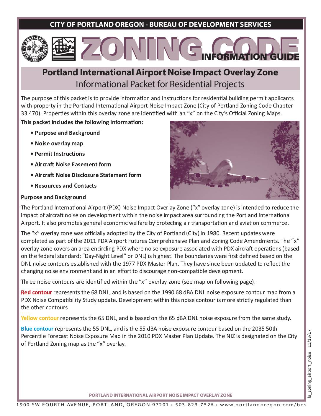
Portland International Airport Noise Impact Overlay Zone: Informational Packet for Residential Projects
This document from the City of Portland Bureau of Development Services explains the rules for building or significantly renovating homes near Portland International Airport (PDX) within designated noise impact zones. Properties in the zone are divided into three noise contours (68, 65, and 55 DNL), each with different requirements ranging from full prohibition of new residential development to mandatory noise easements, acoustical engineer certifications, and noise disclosure statements. Homeowners and developers may be eligible for reimbursement from the Port of Portland for certain compliance costs if they use an approved acoustical engineer. -
 2017-06-06
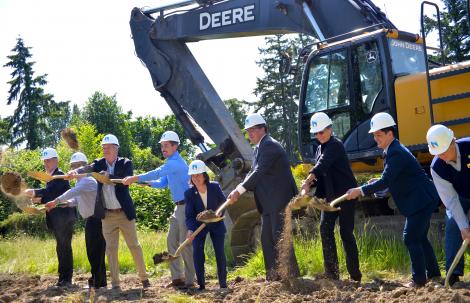
Ground broken for Seattle Gateway Center – Two buildings add office space, service to port and 600 jobs in Burien
With the toss of a shovel of dirt came the promise of 600 or more jobs in Burien. The groundbreaking for Seattle Gateway Center, two buildings add office space and service to port, was held on Tuesday, June 6. 06/06/2017 By Lindsay Peyton With the toss of a shovel of dirt came the promise of -
2017-06-05
Ground broken for Seattle Gateway Center – Two buildings add office space, service to port and 600 jobs in Burien
Major logistics center opens new facility near the airport Brian J. Wilson selected to be Burien’s new City Manager UPDATE: Flightpath hopes to become a neighborhood hub for Boulevard Park; Opening the week of June 26 Say Goodbye to Glacier High School with a Walk-through on June 17 FAA calls for comment on proposed use -
2015-08-31
Northeast Burien gets redevelopment boost with $5 million federal grant
by Jack Mayne The Federal Aviation Administration has awarded a $5 million grant to Seattle-Tacoma International Airport to redevelop and create 732,000 square feet of air cargo-related warehouse space and support 1,072 new jobs in Burien’s Northeast Redevelopment Area (NERA). Sen. Maria Cantwell announced the FAA grant Monday afternoon, Aug. 31. NERA is located between 8th Ave -
 2011-12-20
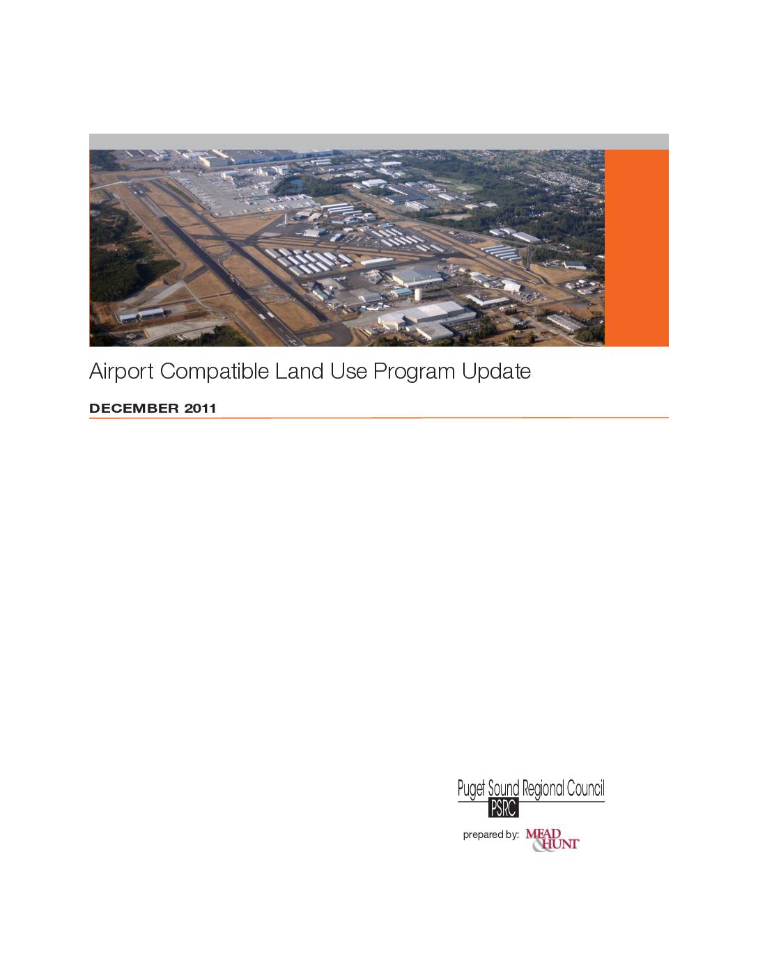
Airport Compatible Land Use
This December 2011 report from the Puget Sound Regional Council (PSRC) provides guidance on how local governments in the Puget Sound region should plan land use around airports to minimize conflicts related to aircraft noise, airspace protection, and public safety. It outlines federal and state requirements, reviews current and future land use patterns near airports, and offers step-by-step recommendations for incorporating airport compatibility into local comprehensive plans. The document is particularly relevant to communities near facilities like Sea-Tac Airport seeking to align zoning and development policies with aviation operational needs. -
 2011-12-01
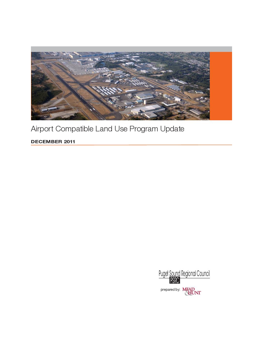
Airport Compatible Land Use Program Update
Puget Sound Regional Council (PSRC) Airport Compatible Land Use Program Update, December 2011, prepared by Mead & Hunt. Financed in part through FAA planning grant AIP 3-53-5301-02 under Section 505 of the Airport and Airway Improvement Act of 1982. Covers Washington State airport compatible land use history under the Growth Management Act (GMA), WSDOT Land -
 2010-04-01
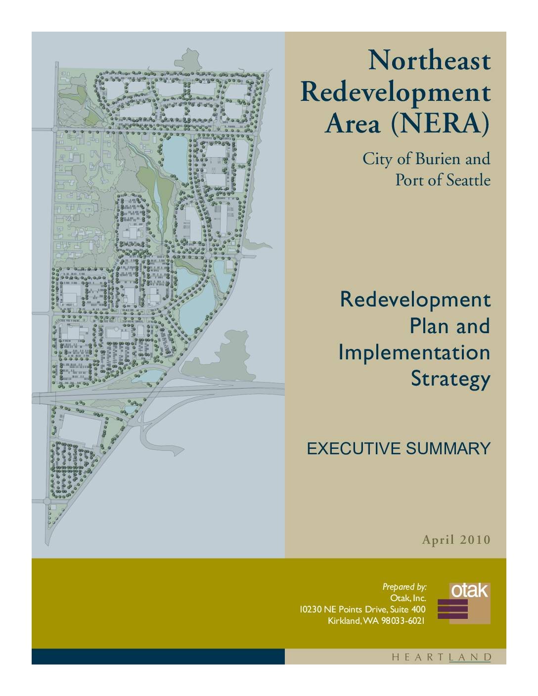
Northeast Redevelopment Area (NERA): Redevelopment Plan and Implementation Strategy Executive Summary
The Northeast Redevelopment Area (NERA) Redevelopment Plan and Implementation Strategy, prepared in April 2010 by the City of Burien and Port of Seattle, outlines a 15-year plan to convert land near Seattle-Tacoma International Airport from incompatible residential and small-scale commercial uses into airport-compatible development. Created in response to noise and operational impacts from Sea-Tac Airport, the plan was shaped by community input, market analysis, and FAA restrictions. The strategy provides a phased, incremental approach to guide property owners and stakeholders through the redevelopment process while balancing environmental, economic, and community considerations. -
 2010-04-01
Northeast Redevelopment Area (NERA): Redevelopment Plan and Implementation Strategy
The Northeast Redevelopment Area (NERA) Redevelopment Plan and Implementation Strategy, prepared in April 2010 by Otak, Inc. for the City of Burien and the Port of Seattle, outlines a framework for redeveloping land in the northeast area near Seattle-Tacoma International Airport. The plan addresses existing conditions—including Federal Aviation Administration requirements and airport noise constraints—alongside community input, infrastructure needs, and market analysis to guide future land use decisions. It identifies preferred development alternatives, zoning amendments, and prioritized implementation steps to support responsible redevelopment of properties affected by airport operations.