TagLand Use(212)
-
 2001-06-22
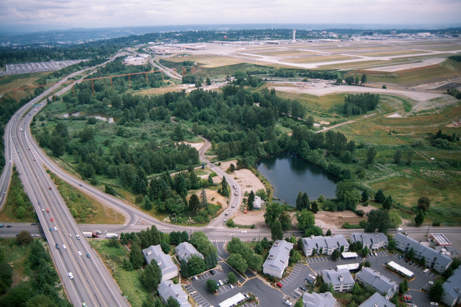
Aerial View of Sea-Tac Airport Showing Runways, SR-99 Corridor, and Adjacent Residential Land Uses
Aerial photograph looking north toward Seattle-Tacoma International Airport (Sea-Tac), showing the airport's runways and terminal area in the background. In the foreground are a multi-lane highway (likely SR-99 or I-5 corridor), a wooded green buffer zone with a retention pond, and a residential apartment complex, illustrating the airport's relationship to surrounding land uses relevant to noise-policy planning. -
 2001-06-22
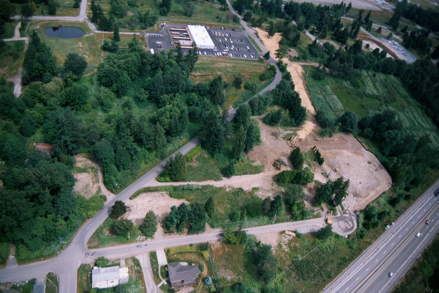
Aerial View of Land Clearing and Grading Operations Near Highway
Aerial photograph showing active land clearing and grading operations adjacent to a multi-lane highway (visible at right), with a commercial building and parking lot visible in the upper center. The site shows exposed soil, construction equipment, dirt access roads, and surrounding forested areas consistent with pre-development site preparation, potentially related to airport noise buffer land acquisition or compatible land use development. -
 2001-06-22
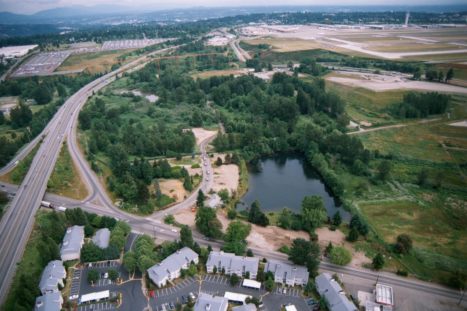
Aerial View of Sea-Tac Airport Runway Area and Surrounding Residential Development
Aerial photograph looking north toward Seattle-Tacoma International Airport (Sea-Tac), showing the airport's runways and tarmac in the upper right, a curved highway interchange (likely SR-99 or I-5 corridor area), a retention pond surrounded by green space, and apartment complexes in the foreground. The image appears to document land use and development patterns in the airport noise-impact zone, likely in the SeaTac/Tukwila area of Washington State. -
 2001-06-22
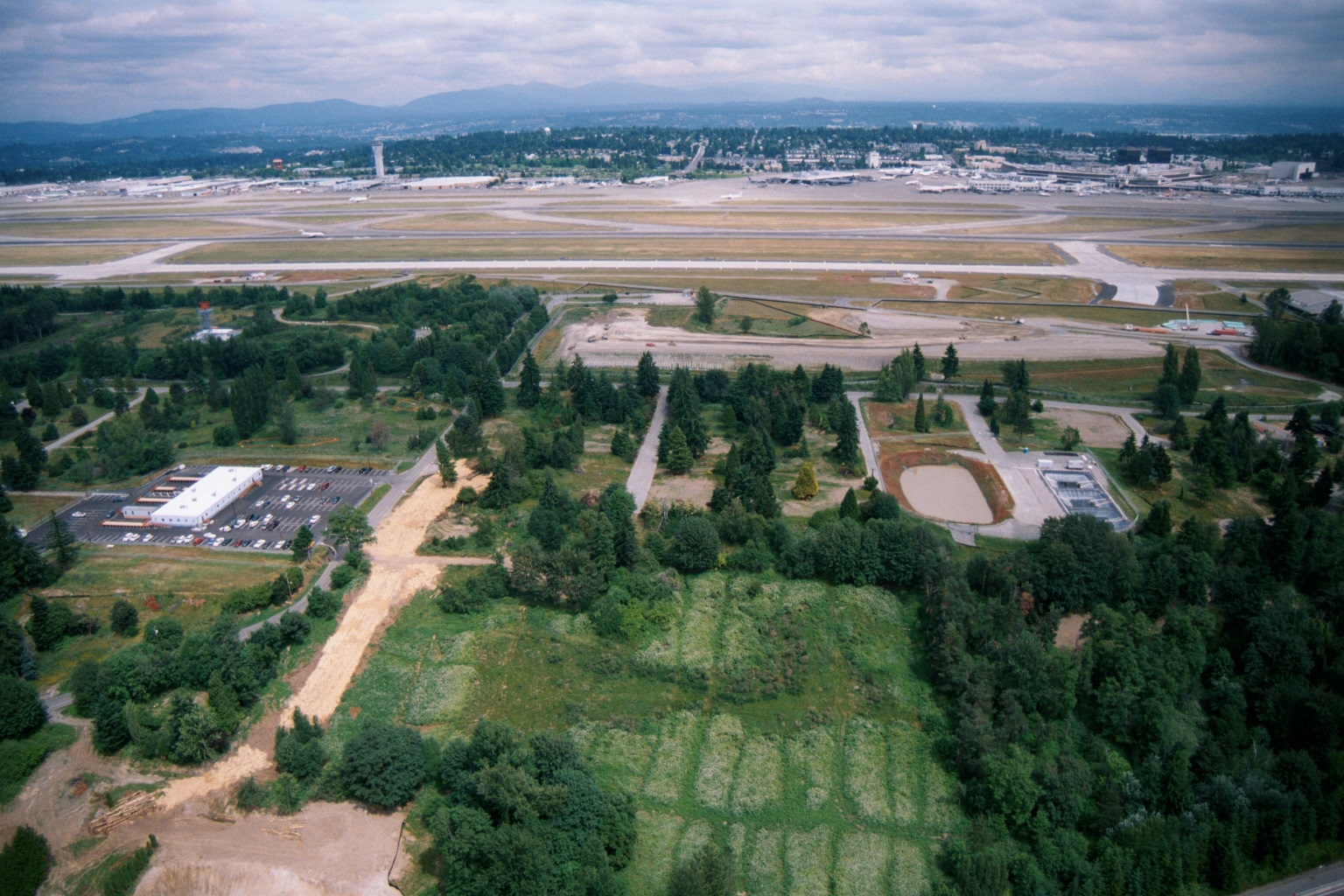
Aerial View Looking North Over Sea-Tac Airport Runway System and Adjacent Land
An aerial photograph looking northward over Sea-Tac Airport, showing the airport's runway system, taxiways, control tower, and terminal area in the background. The foreground shows undeveloped and partially developed land adjacent to the airport, including a small commercial or administrative building with a parking lot, cleared gravel paths, and vegetated buffers, consistent with airport noise-mitigation or land-use planning activities. -
 2001-06-22
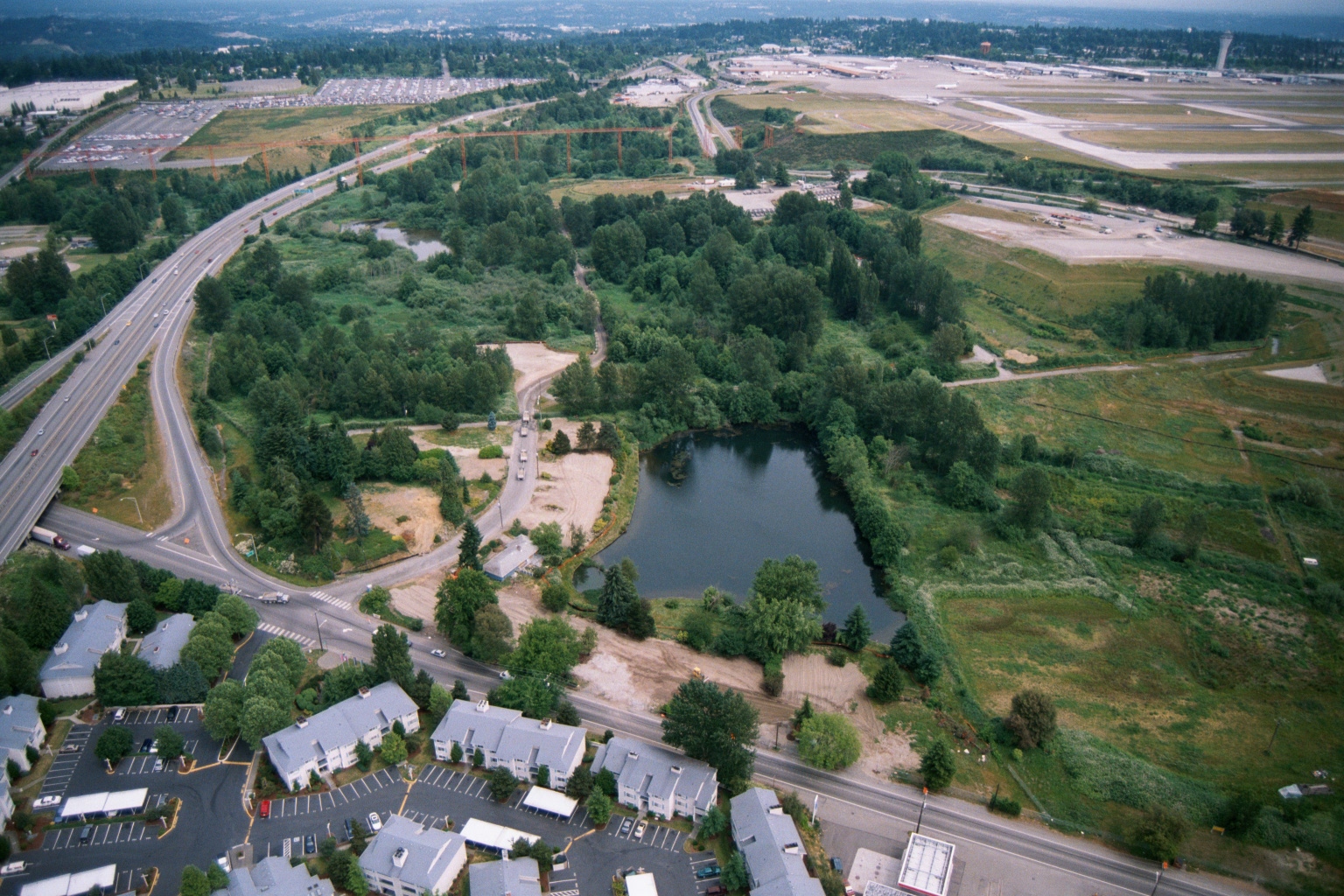
Aerial View of Undeveloped Parcel with Pond Near Sea-Tac Airport and Highway Interchange
Aerial photograph showing a large undeveloped or partially developed parcel with a pond, bordered by a highway interchange to the west and airport runways/taxiways to the east. Residential apartment complexes and parking lots are visible in the foreground, consistent with the SeaTac/Burien area near Seattle-Tacoma International Airport. -
 2001-06-22
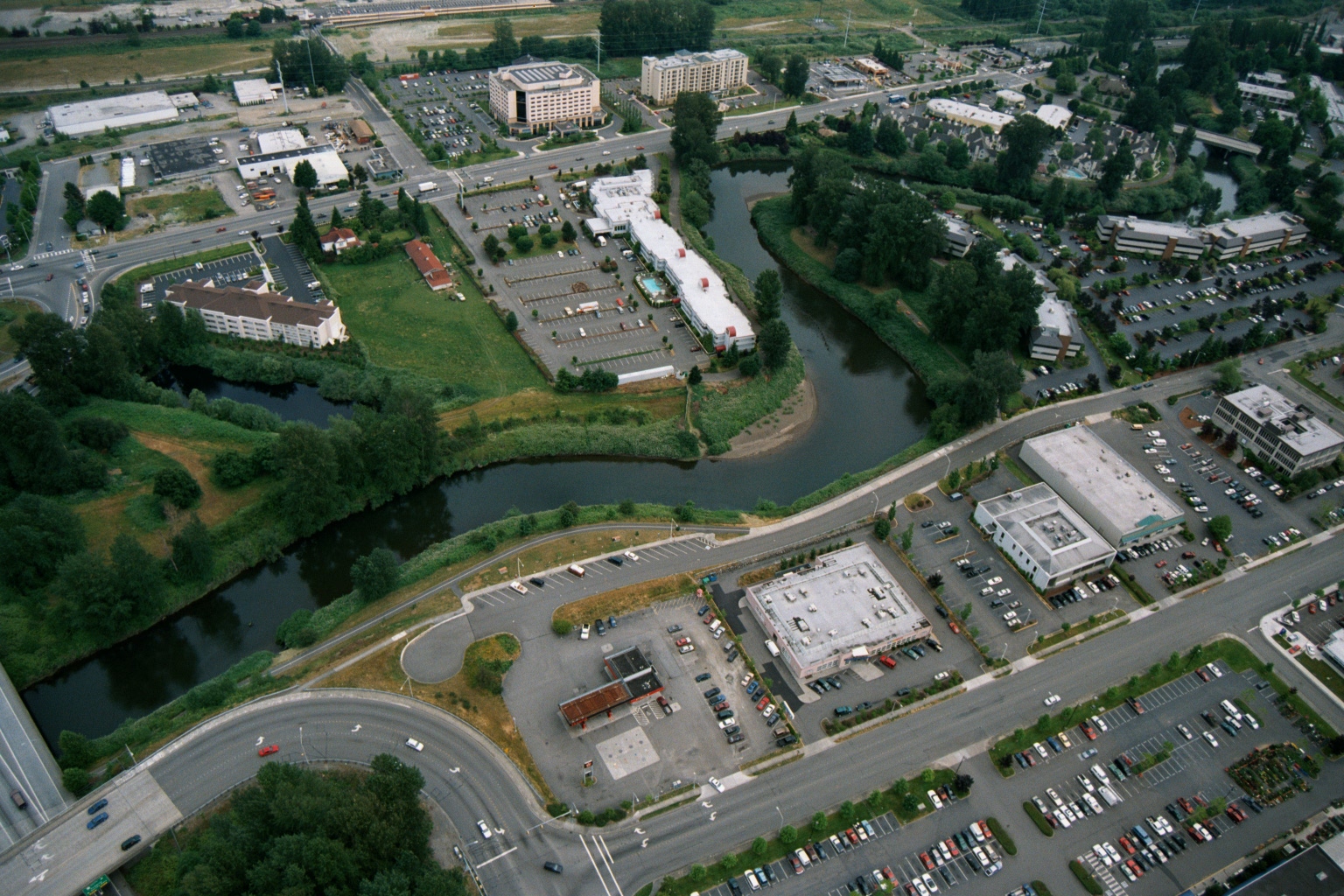
Aerial View of Suburban Development and Riparian Corridor Near Sea-Tac Airport
Aerial view showing a suburban area with hotels, office buildings, parking lots, and a meandering river or creek corridor with dense riparian vegetation. The image appears to document land use and development patterns near a waterway, potentially relevant to noise or environmental planning in the Sea-Tac Airport region of Washington State. -
 2001-06-22
Aerial View of Undeveloped Green Space and Pond Near Sea-Tac Airport
Aerial photograph showing a large undeveloped green space with a small pond, adjacent to a major highway interchange. Residential and commercial development is visible along the left edge, with what appears to be an airport or large industrial facility and construction cranes visible in the background. -
 2001-06-22
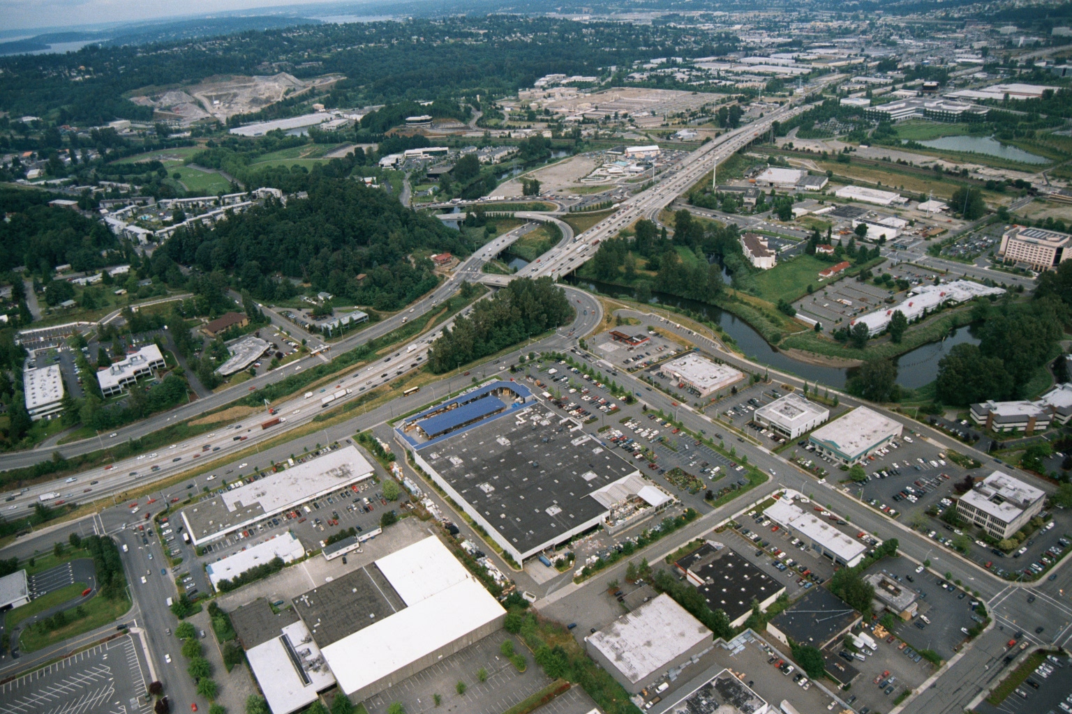
Aerial View of Suburban Commercial Area With Freeway Interchange and Waterway
Aerial photograph showing a suburban commercial and retail area with large big-box stores, parking lots, and a multi-lane freeway interchange with on/off ramps. A river or waterway is visible to the right, and residential and industrial areas extend into the background. -
 2001-06-22
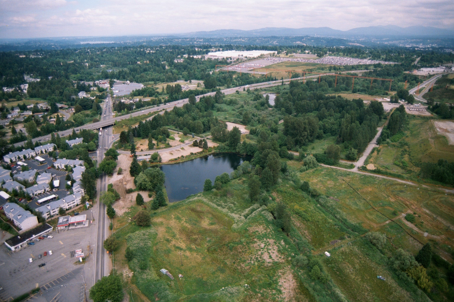
Aerial View of Highway Interchange and Development Near Sea-Tac Region
Aerial photograph showing a highway interchange, a small pond or retention basin, residential and commercial development on the left, and extensive undeveloped or semi-developed land to the right. Mountains and a broad forested valley are visible in the background, suggesting a Pacific Northwest setting consistent with the Seattle/Sea-Tac region. -
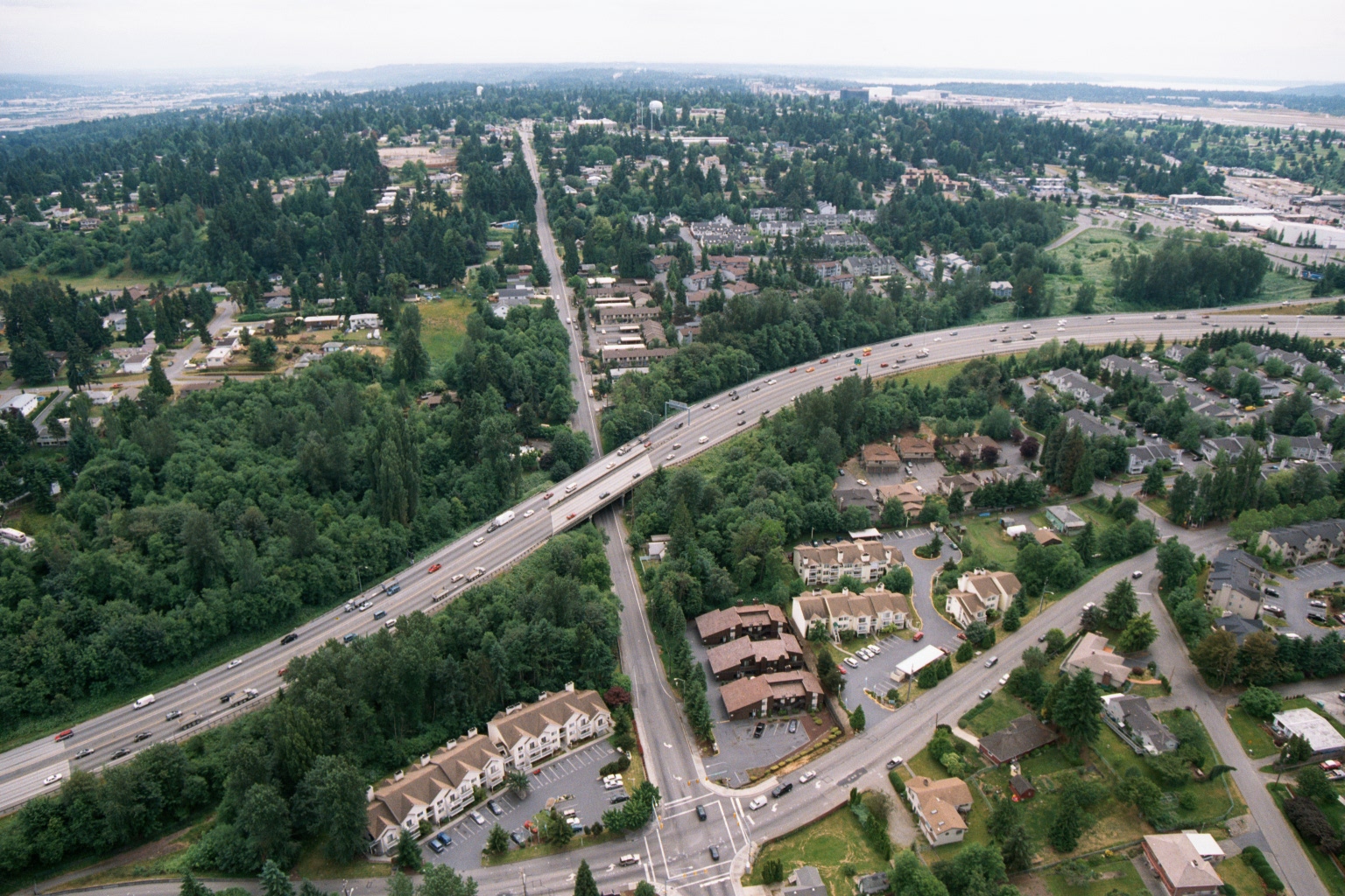 2001-06-22
Aerial View of Interstate Highway and Residential Subdivisions Near Sea-Tac Airport
Aerial photograph showing a multi-lane interstate highway (likely I-5 or SR-99) intersecting with a local arterial road, surrounded by residential subdivisions, apartment complexes, and dense Pacific Northwest evergreen tree cover. An airport facility or large paved area is faintly visible in the upper right background, consistent with proximity to Sea-Tac Airport.