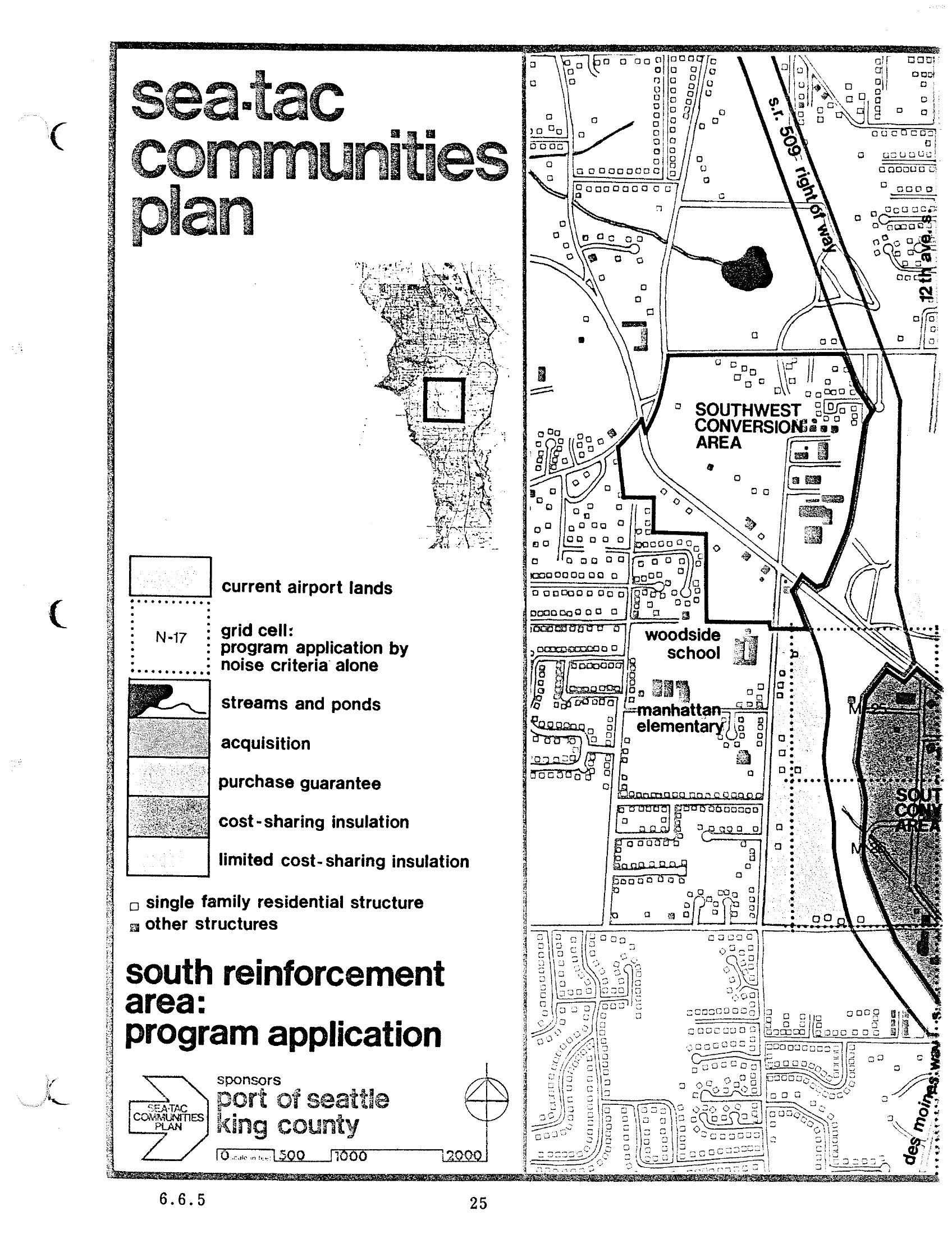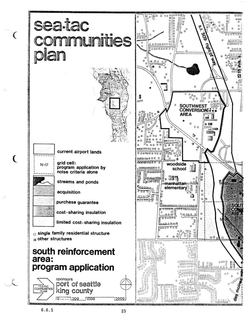
A planning map from the Sea-Tac Communities Plan, sponsored by the Port of Seattle and King County, depicting the South Reinforcement Area program application including the Southwest Conversion Area, Woodside School, and Manhattan Elementary. The legend identifies land-use and noise-mitigation categories including current airport lands, acquisition zones, purchase guarantee areas, cost-sharing insulation, and grid cells defined by noise criteria (e.g., N-17).Open full document
Notes
A planning map from the Sea-Tac Communities Plan, sponsored by the Port of Seattle and King County, depicting the South Reinforcement Area program application including the Southwest Conversion Area, Woodside School, and Manhattan Elementary. The legend identifies land-use and noise-mitigation categories including current airport lands, acquisition zones, purchase guarantee areas, cost-sharing insulation, and grid cells defined by noise criteria (e.g., N-17).