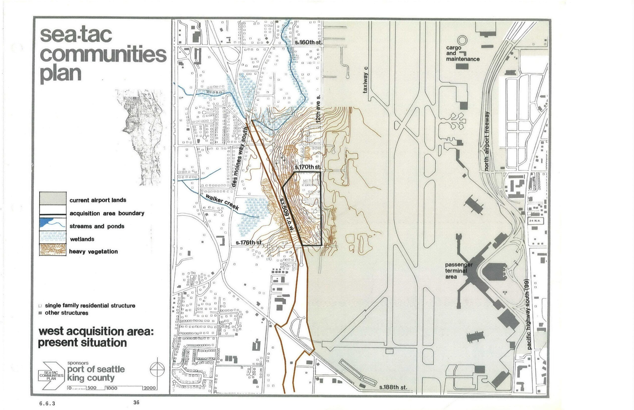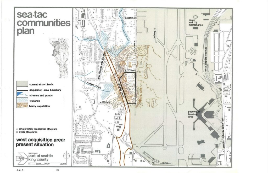
This planning map, sponsored by the Port of Seattle and King County, depicts the West Acquisition Area adjacent to Seattle-Tacoma International Airport, showing current airport lands, acquisition area boundaries, streams, wetlands, heavy vegetation, and residential structures. Key features labeled include Walker Creek, Des Moines Way South, 12th Ave S, S. 170th St, S. 176th St, S. 188th St, Taxiway C, the North Airport Freeway, the Passenger Terminal Area, and the Cargo and Maintenance area.Open full document
Notes
This planning map, sponsored by the Port of Seattle and King County, depicts the West Acquisition Area adjacent to Seattle-Tacoma International Airport, showing current airport lands, acquisition area boundaries, streams, wetlands, heavy vegetation, and residential structures. Key features labeled include Walker Creek, Des Moines Way South, 12th Ave S, S. 170th St, S. 176th St, S. 188th St, Taxiway C, the North Airport Freeway, the Passenger Terminal Area, and the Cargo and Maintenance area.