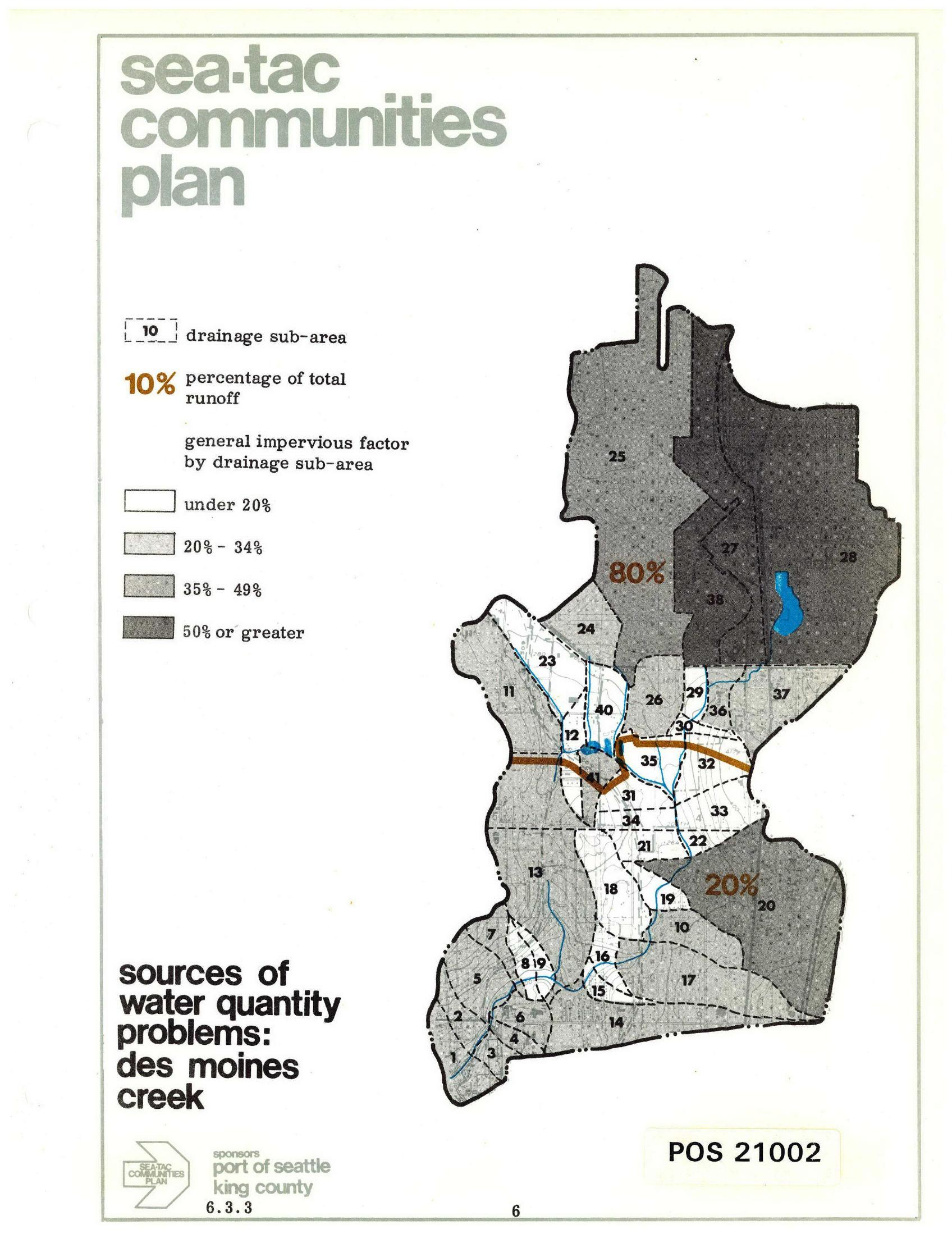
A planning map from the Sea-Tac Communities Plan (document POS 21002, section 6.3.3) showing drainage sub-areas for Des Moines Creek, with impervious surface factors ranging from under 20% to 50% or greater, and annotating that 80% of total runoff originates from the northern sub-areas and 20% from the southern sub-areas. Sponsored by the Port of Seattle and King County.Open full document
Notes
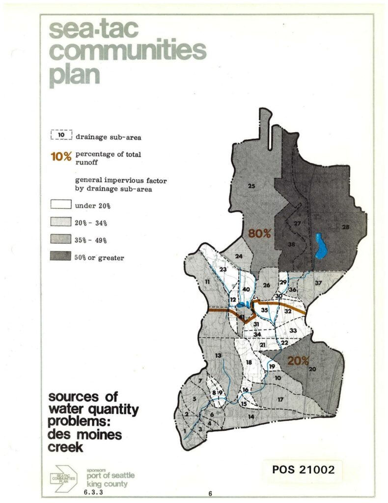
A planning map from the Sea-Tac Communities Plan (document POS 21002, section 6.3.3) showing drainage sub-areas for Des Moines Creek, with impervious surface factors ranging from under 20% to 50% or greater, and annotating that 80% of total runoff originates from the northern sub-areas and 20% from the southern sub-areas. Sponsored by the Port of Seattle and King County.