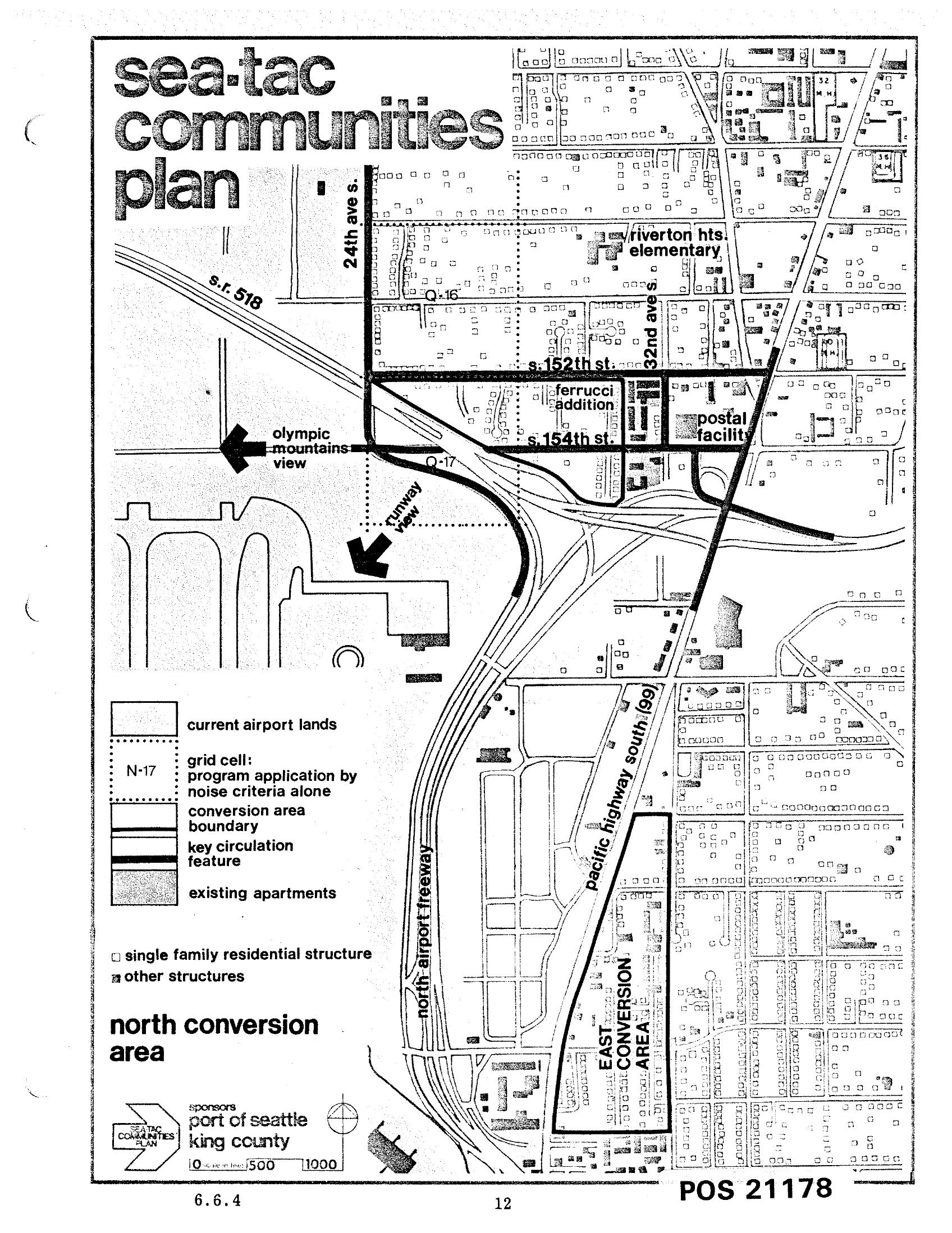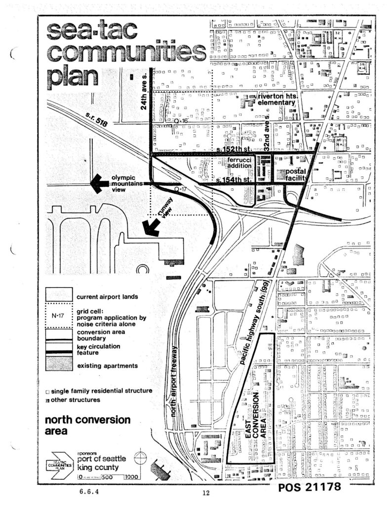
This is page 12 (document reference 6.6.4, POS 21178) of the Sea-Tac Communities Plan, co-sponsored by the Port of Seattle and King County. The map depicts the North Conversion Area near Seattle-Tacoma International Airport, showing current airport lands, grid cells subject to noise-criteria program application, conversion area boundaries, key circulation features, the Ferrucci Addition, a postal facility, Riverton Heights Elementary, S. 152nd and S. 154th Streets, 24th Ave S., 32nd Ave S., Pacific Highway South (SR 99), the North Airport Freeway, and SR 518.Open full document
Notes
This is page 12 (document reference 6.6.4, POS 21178) of the Sea-Tac Communities Plan, co-sponsored by the Port of Seattle and King County. The map depicts the North Conversion Area near Seattle-Tacoma International Airport, showing current airport lands, grid cells subject to noise-criteria program application, conversion area boundaries, key circulation features, the Ferrucci Addition, a postal facility, Riverton Heights Elementary, S. 152nd and S. 154th Streets, 24th Ave S., 32nd Ave S., Pacific Highway South (SR 99), the North Airport Freeway, and SR 518.